Topics > Tyne and Wear > Newcastle upon Tyne > Newburn > Newburn Parish, 1848
Newburn Parish, 1848
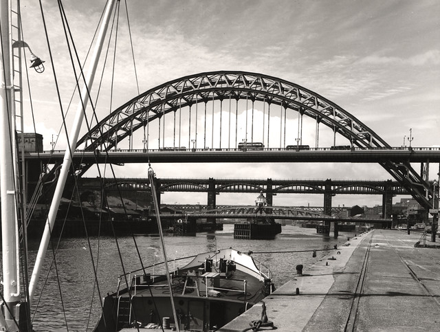
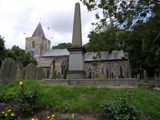
NEWBURN (St. Michael), a parish, in the union, and chiefly in the W. division, of Castle ward, but partly in the E. division of Tindale ward, S. division of Northumberland; containing 4,156 inhabitants, of whom 943 are in the township of Newburn, 5¼ miles (W. by N.) from Newcastle-upon-Tyne. At this place, which in the reign of John was styled a borough, Lord Conway, at the head of the royalists, in 1640, disputed the passage of the Tyne with the Scots under General Leslie; but the latter, after a violent conflict, at length succeeded. The parish consists of the townships of Butterlaw, Black Callerton, Dalton, East and West Denton, North and South Dissington, Newbiggin, Newburn, Newburn-Hall, Sugley, Throckley, Wallbottle, East and West Whorlton, and part of High Callerton. It abounds with coal, and stretches along the northern bank of the river, where are some coal-staiths, ironfoundries, crown-glass works, and brick and tile manufactories, chemical-works, and a paper-mill. The village occupies a picturesque situation on the Tyne, and consists of irregularly-built houses, with pleasant gardens attached. The living is a discharged vicarage, valued in the king's books at £16; net income, £230; patron and appropriator, the Bishop of Carlisle. The church, partly rebuilt and considerably enlarged in 1827, at an expense of about £1,200, is a neat cruciform structure of stone, containing some ancient monuments to the Delavals; the east window exhibits in stained glass the figure of St. James, and the arms of those families who contributed to the renovation of the building. A national school was erected in 1822, by the Duke of Northumberland, who endowed it with £10. 10. per annum; and there are two chapels, respectively dedicated to the Holy Trinity and St. Saviour. Severus' Wall passed through the parish, but its course is not traceable.
Extract from: A Topographical Dictionary of England comprising the several counties, cities, boroughs, corporate and market towns, parishes, and townships..... 7th Edition, by Samuel Lewis, London, 1848.

Co-Curate Page
Whorlton Township, 1848 (Newburn Parish)
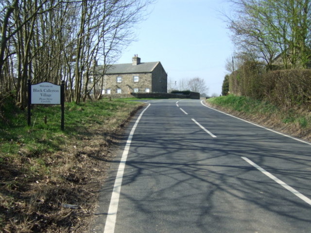
- WHORLTON, a township, in the parish of Newburn, union and W. division of Castle ward, S. division of Northumberland, 4¾ miles (N.W. by W.) from Newcastle; containing 60 inhabitants. This …
Co-Curate Page
Wallbottle Township (Newburn Parish), 1848
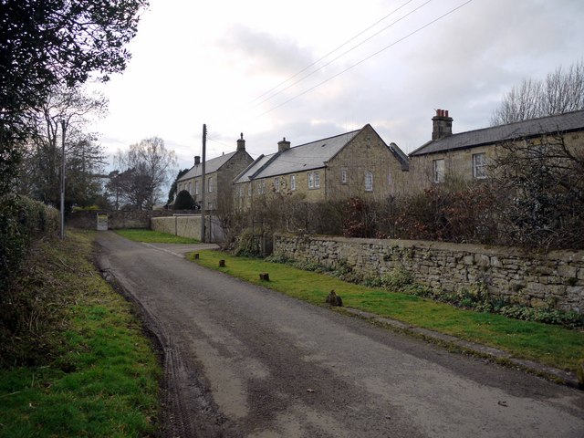
- WALLBOTTLE, a township, in the parish of Newburn, union and W. division of Castle ward, S. division of Northumberland, 4¾ miles (W. by N.) from Newcastle, on the road to …
Co-Curate Page
Throckley Township, 1848
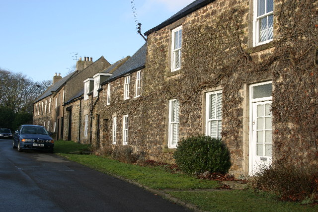
- THROCKLEY, a township, in the parish of Newburn, union and W. division of Castle ward, S. division of Northumberland, 6¼ miles (W. by N.) from Newcastle; containing 160 inhabitants, and …
Co-Curate Page
Dalton, Ponteland
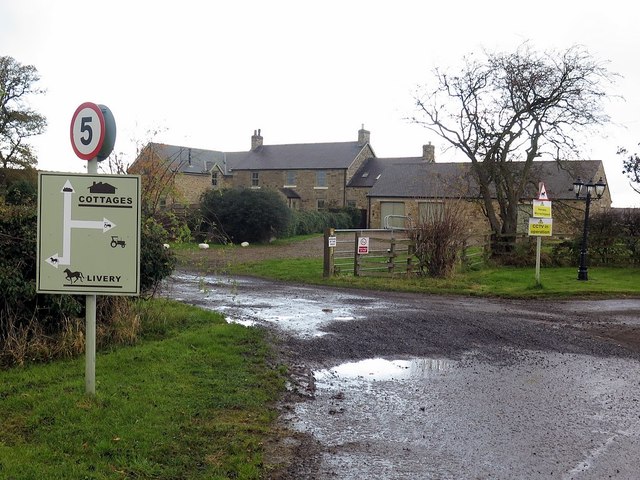
- Overview Map Street View Dalton is a village in Northumberland, located about 3 miles west of Ponteland and 9 miles north-west of the centre of Newcastle. Historically, Dalton was a …
Co-Curate Page
High Callerton
- Overview Map Street View High Callerton is a village in Northumberland, located immediately south-east of Darras Hall and about 1½ miles south-west of Ponteland. Rebellion House here dates from the …
Co-Curate Page
South Dissington
- Overview Map South Dissington is a farmstead situated by the Med Burn (stream), about half a mile west of the village of Medburn and 3 miles south-west of Ponteland. It …
Co-Curate Page
North Dissington Township, 1848
- DISSINGTON, NORTH, a township, in the parish of Newburn, union and W. division of Castle ward, S. division of Northumberland, 10 miles (N.W. by W.) from Newcastle-upon-Tyne; containing 67 inhabitants. …
Co-Curate Page
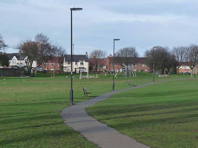
West Denton
- DENTON, WEST, a township, in the parish of Newburn, union and W. division of Castle ward, S. division of Northumberland, 3 miles (W. by N.) from Newcastle; containing 420 inhabitants. …
Co-Curate Page
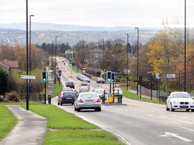
East Denton
- DENTON, EAST, a township, in the parish of Newburn, union and W. division of Castle ward, S. division of Northumberland, 3 miles (W.N.W.) from Newcastle-upon-Tyne, on the road to Hexham; …

Co-Curate Page
Whorlton Township, 1848 (Newburn Parish)
- WHORLTON, a township, in the parish of Newburn, union and W. division of Castle ward, S. division of Northumberland, 4¾ miles (N.W. by W.) from Newcastle; containing 60 inhabitants. This …
Co-Curate Page
Wallbottle Township (Newburn Parish), 1848
- WALLBOTTLE, a township, in the parish of Newburn, union and W. division of Castle ward, S. division of Northumberland, 4¾ miles (W. by N.) from Newcastle, on the road to …
Co-Curate Page
Throckley Township, 1848
- THROCKLEY, a township, in the parish of Newburn, union and W. division of Castle ward, S. division of Northumberland, 6¼ miles (W. by N.) from Newcastle; containing 160 inhabitants, and …
Co-Curate Page
Dalton, Ponteland
- Overview Map Street View Dalton is a village in Northumberland, located about 3 miles west of Ponteland and 9 miles north-west of the centre of Newcastle. Historically, Dalton was a …
Co-Curate Page
High Callerton
- Overview Map Street View High Callerton is a village in Northumberland, located immediately south-east of Darras Hall and about 1½ miles south-west of Ponteland. Rebellion House here dates from the …
Co-Curate Page
South Dissington
- Overview Map South Dissington is a farmstead situated by the Med Burn (stream), about half a mile west of the village of Medburn and 3 miles south-west of Ponteland. It …
Co-Curate Page
North Dissington Township, 1848
- DISSINGTON, NORTH, a township, in the parish of Newburn, union and W. division of Castle ward, S. division of Northumberland, 10 miles (N.W. by W.) from Newcastle-upon-Tyne; containing 67 inhabitants. …
Co-Curate Page
West Denton
- DENTON, WEST, a township, in the parish of Newburn, union and W. division of Castle ward, S. division of Northumberland, 3 miles (W. by N.) from Newcastle; containing 420 inhabitants. …