Topics > Tyne and Wear > Newcastle upon Tyne > Newburn > Newburn Parish, 1848 > Butterlaw
Butterlaw
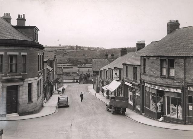
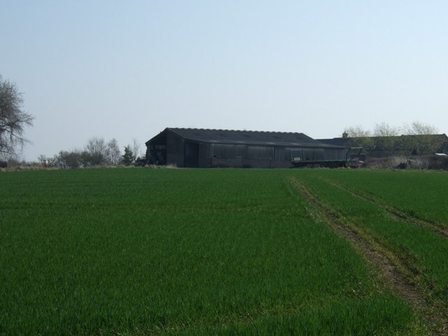
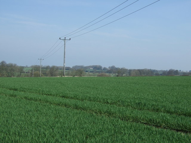
Today, Butterlaw is a farm located north of Westerhope in Newcastle. In the past it was a more sizable settlement. Butterlaw was documented in 1242, and in 1296 there were 6 taxpayers recorded. By the 17th century it had reduced in size.[1] Butterlaw was a township in the ancient Parish of Newburn, with 16 inhabitants recorded in 1848. In more recent times there has been opencast mining in the area.
BUTTERLAW, a township, in the parish of Newburn, union and W. division of Castle ward, S. division of Northumberland, 5¼ miles (N.W. by W.) from Newcastle; containing 16 inhabitants. It comprises about 240 acres, and is the property of the Duke of Northumberland.
Extract from: A Topographical Dictionary of England comprising the several counties, cities, boroughs, corporate and market towns, parishes, and townships..... 7th Edition, by Samuel Lewis, London, 1848.
In 1866, Butterlaw became a Civil Parish, following the Poor Law Amendment Act. However, the civil parish was abolished in March 1886 and absorbed in to the Civil Parish of East & West Whorlton.

from http://www.twsitelines.info/S…
Tyne and Wear HER(1301): Butterlaw village
- "The earliest reference is from 1242, and in 1296 there were 6 taxpayers. Robert fitzRoger 1309 died seised of 12 bondage holdings, each containing one messuage, 16 acres of arable …
Added by
Simon Cotterill

from http://www.twsitelines.info/S…
Tyne and Wear HER(1301): Butterlaw village
- "The earliest reference is from 1242, and in 1296 there were 6 taxpayers. Robert fitzRoger 1309 died seised of 12 bondage holdings, each containing one messuage, 16 acres of arable …
Added by
Simon Cotterill