Topics > Northumberland > Civil Parishes in Northumberland > Mitford Civil Parish > Mitford Parish, 1848
Mitford Parish, 1848
MITFORD, a parish, in the union of Morpeth, partly in the W. division of Castle ward, in the S., and partly in the W. division of Morpeth ward, in the N., division of Northumberland, 1¾ mile (W. by S.) from Morpeth; containing 733 inhabitants, of whom 220 are in the township of Mitford. This manor, in the time of the Saxons, belonged to the family of Mitford, and at the Conquest was part of the possessions of John, lord of Mitford, whose only daughter, Sybil, was married by the Conqueror to Sir Richard Bertram, son of the lord of Dignam, in Normandy. The family of Bertram became very numerous, and acquired large estates in this part of the kingdom, which they retained till the reign of John, when, taking part with the barons against that monarch, their castle here, and also the town, were burnt, and the lands laid waste, by the Flemish allies of the king; the barony, becoming forfeited to the crown, was bestowed upon Philip de Hulcoates. The possessions were subsequently restored by Henry III. to the Bertrams; but after the death of Roger de Bertram in 1242, his son and successor being taken prisoner among the insurgents at Northampton, the castle and estates were seized by the king, and never regained. The castle was taken and dismantled by Alexander, King of Scotland, in 1318, and the barony, at that time the property of the Earl of Pembroke, after his decease passed to Sir Henry Percy, lord of Atholl, whose two daughters conveyed the manor of Mitford, by marriage, to Thomas Brough and Sir Henry Grey. The whole of the manor, in the reign of Henry VIII., belonged to William, Lord Brough, who in 1557 granted the estates to Cuthbert Mitford and his heirs for ever, reserving to himself only the site of the castle and the royalties, which, afterwards falling to the crown, were granted by Charles II. to Robert Mitford, with whose descendants they have since remained. The town of Mitford was of considerable importance, and had a charter of incorporation at a very early period; the records were most probably destroyed in the wars between John and the barons.
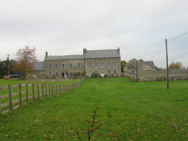
The parish consists of the townships of Benridge, Edington, Highlaws, Mitford, Molesden, Newton-Park, Newton-Underwood, Nunriding, Pigdon, Spittle-Hill, and Throphill. It comprises by computation 9,500 acres, of which 600 are woodland, and the remainder arable, meadow, and pasture. The surface is finely varied; the river Wansbeck intersects the parish from west to east, and the river Font, after skirting the northwestern portion of it, falls into the Wansbeck at the village. The substrata are chiefly coal, limestone, and sandstone. The present manor-house, erected in 1828, after a design by Mr. Dobson, is a handsome mansion of white freestone, beautifully situated on the brow of the north bank of the Wansbeck, opposite to the remains of the ancient manor-house, on the other side of the river. The village now consists only of a few neat cottages. The living is a discharged vicarage, valued in the king's books at £10. 6. 8.; net income £100, with a glebe of 10 acres; patron, the Bishop of Durham. The church is an ancient and venerable structure: the nave is in the Norman style, and appears to have been damaged by fire, probably during the assault of the castle; the chancel is in the early English style.
Extract from: A Topographical Dictionary of England comprising the several counties, cities, boroughs, corporate and market towns, parishes, and townships..... 7th Edition, by Samuel Lewis, London, 1848.

Co-Curate Page
Spittle Hill Township, Mitford, 1848
- SPITTLE-HILL, a township, in the parish of Mitford, union, and W. division of the ward, of Morpeth, N. division of Northumberland, 1¾ mile (W. by N.) from Morpeth; containing 12 …
Co-Curate Page
Edington Township, 1848
- EDINGTON, a township, in the parish of Mitford, union of Morpeth, W. division of Castle ward, S. division of Northumberland, 4¼ miles (S.W. by W.) from Morpeth; containing 23 inhabitants. …
Co-Curate Page
Benridge Township, Historical Account, 1848
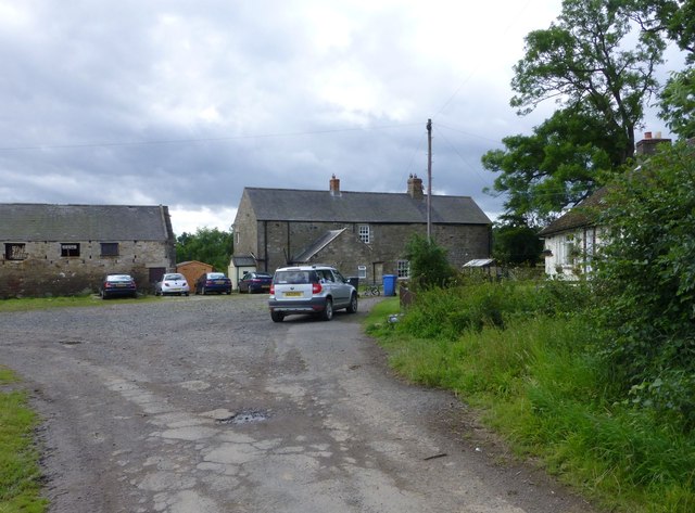
- BENRIDGE, a township, in the parish of Mitford, union of Morpeth, W. division of Morpeth ward, N. division of Northumberland, 2 miles (W.N.W.) from Morpeth; containing 70 inhabitants. This place, …
Co-Curate Page
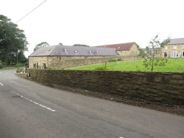
Pigdon
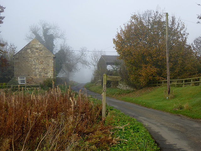
- Overview Map Street View Pigdon is a small village in Northumberland located about 3 miles north-west of Morpeth. It lies on the minor road between Morpeth and Netherwitton. The area …
Co-Curate Page
Throphill Township, 1848
- THROPPLE, a township, in the parish of Mitford, union, and W. division of the ward, of Morpeth, N. division of Northumberland, 4 miles (W.) from Morpeth; containing 59 inhabitants. This …
Co-Curate Page
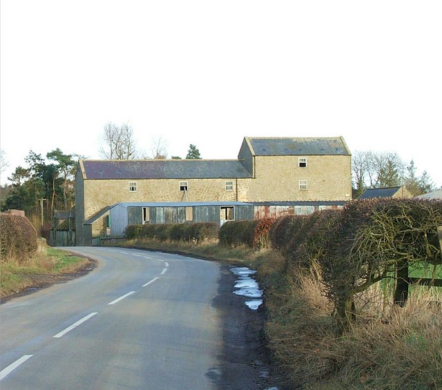
East Benridge
- Overview Map Street View East Benridge is a hamlet just over half a mile north of Mitford and a similar distance from the western outskits of Morpeth & Northgate. It …
Co-Curate Page
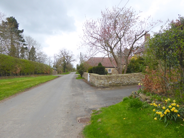
Molesden
- Overview Map Street View Molesden is a hamlet in Northumberland, located about 3 miles south-west of Morpeth and 2 miles from Mitford. Molesden Burn flows by the settlement before it …
Co-Curate Page
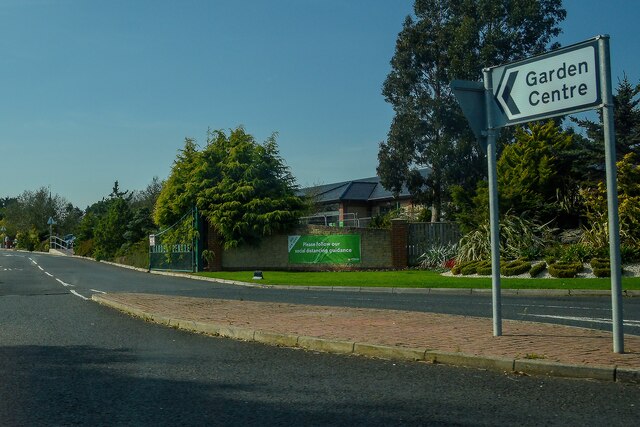
Heighley Gate and Highlaws, near Morpeth
- Overview Map Street View Heighley Gate is located on the A697 road, about 2½ miles north-west of Morpeth, Northumberland. It is the location of Dobbies Garden Centre. In the past …
Co-Curate Page
Newton Park, Northumberland
- Overview Map NEWTON-PARK, a township, in the parish of Mitford, union of Morpeth, W. division of Morpeth ward, N. division of Northumberland, 3 miles (W. by N.) from Morpeth; containing …
Co-Curate Page
Newton Underwood, Northumberland
- Overview Map Street View Newton Underwood is a farm / hamlet in Northumberland, located about 3 miles west of Morpeth. It is the site of a deserted Medieval village, and …
Co-Curate Page
Nunriding
- Overview Map NUNRIDING, a township, in the parish of Mitford, union of Morpeth, W. division of Morpeth ward, N. division of Northumberland, 4¾ miles (W. by N.) from Morpeth; containing …

Co-Curate Page
Mitford Parish, 1855
- Extract from: History, Topography, and Directory of Northumberland...Whellan, William, & Co, 1855. MITFORD PARISH MITFORD, a parish partly in the west division of Morpeth Ward, and partly in the …

Co-Curate Page
Spittle Hill Township, Mitford, 1848
- SPITTLE-HILL, a township, in the parish of Mitford, union, and W. division of the ward, of Morpeth, N. division of Northumberland, 1¾ mile (W. by N.) from Morpeth; containing 12 …
Co-Curate Page
Edington Township, 1848
- EDINGTON, a township, in the parish of Mitford, union of Morpeth, W. division of Castle ward, S. division of Northumberland, 4¼ miles (S.W. by W.) from Morpeth; containing 23 inhabitants. …
Co-Curate Page
Benridge Township, Historical Account, 1848
- BENRIDGE, a township, in the parish of Mitford, union of Morpeth, W. division of Morpeth ward, N. division of Northumberland, 2 miles (W.N.W.) from Morpeth; containing 70 inhabitants. This place, …
Co-Curate Page
Pigdon
- Overview Map Street View Pigdon is a small village in Northumberland located about 3 miles north-west of Morpeth. It lies on the minor road between Morpeth and Netherwitton. The area …
Co-Curate Page
Throphill Township, 1848
- THROPPLE, a township, in the parish of Mitford, union, and W. division of the ward, of Morpeth, N. division of Northumberland, 4 miles (W.) from Morpeth; containing 59 inhabitants. This …
Co-Curate Page
East Benridge
- Overview Map Street View East Benridge is a hamlet just over half a mile north of Mitford and a similar distance from the western outskits of Morpeth & Northgate. It …
Co-Curate Page
Molesden
- Overview Map Street View Molesden is a hamlet in Northumberland, located about 3 miles south-west of Morpeth and 2 miles from Mitford. Molesden Burn flows by the settlement before it …
Co-Curate Page
Heighley Gate and Highlaws, near Morpeth
- Overview Map Street View Heighley Gate is located on the A697 road, about 2½ miles north-west of Morpeth, Northumberland. It is the location of Dobbies Garden Centre. In the past …
Co-Curate Page
Newton Park, Northumberland
- Overview Map NEWTON-PARK, a township, in the parish of Mitford, union of Morpeth, W. division of Morpeth ward, N. division of Northumberland, 3 miles (W. by N.) from Morpeth; containing …
Co-Curate Page
Newton Underwood, Northumberland
- Overview Map Street View Newton Underwood is a farm / hamlet in Northumberland, located about 3 miles west of Morpeth. It is the site of a deserted Medieval village, and …
Co-Curate Page
Nunriding
- Overview Map NUNRIDING, a township, in the parish of Mitford, union of Morpeth, W. division of Morpeth ward, N. division of Northumberland, 4¾ miles (W. by N.) from Morpeth; containing …


