Topics > Northumberland > Pigdon
Pigdon
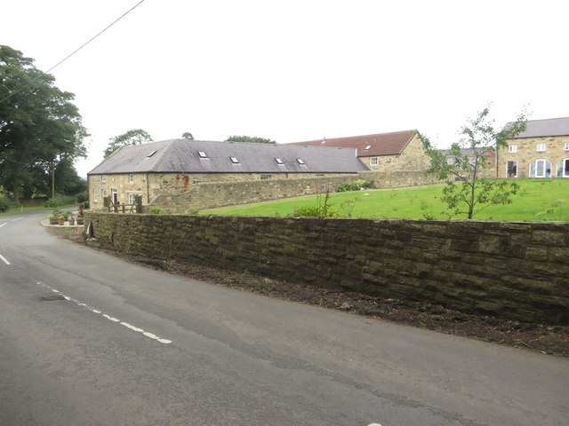
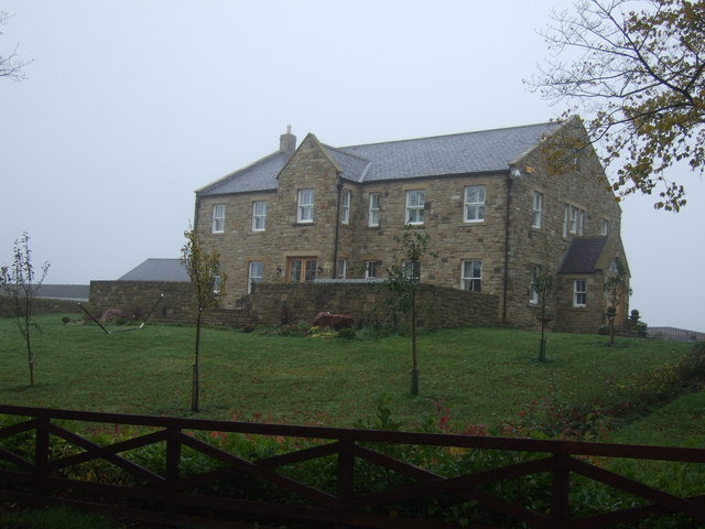
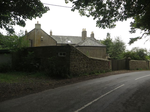
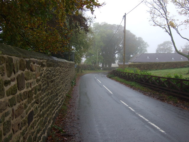
Pigdon is a small village in Northumberland located about 3 miles north-west of Morpeth. It lies on the minor road between Morpeth and Netherwitton. The area around Pigdon is predominantly agricultural, and includes parts of the Mitford Estate. Close by, to the south is the wooded valley of the River Font. The earthwork remains of the medieval village of Pigdon are located to the south-west of todays settlement.[1] Historically, Pigdon was a township in the ancient Parish of Mitford. In 1866, Pigdon became a civil parish in it's own right; it had a population of 52 at the time of the 1951 Census.[2] From 1955, Pigdon has formed part of Meldon Civil Parish.
PIGDON, a township, in the parish of Mitford, union of Morpeth, W. division of Morpeth ward, N. division of Northumberland, 3¾ miles (W.N.W.) from Morpeth; containing 50 inhabitants. This place was anciently called Pikeden or Pike-Dun, a name descriptive of the sharply-pointed hill on the acclivity of which the hamlet is situated. It was at an early date the property of the St. Peter family, and the lands have been subsequently held by the families of Eure, Heron, Milbank, and Surtees. The township comprises 1093a. 2r. 23p., whereof 208 acres are woodland, chiefly oak, and the remainder divided into two farms. The village overlooks the valleys of the Font and Wansbeck, and commands an extensive prospect to the east, south, and west. The great tithes have been commuted for £50.
Extract from: A Topographical Dictionary of England comprising the several counties, cities, boroughs, corporate and market towns, parishes, and townships..... 7th Edition, by Samuel Lewis, London, 1848.

from https://keystothepast.info/se…
Pigdon deserted medieval village
- "This is the site of the deserted medieval village of Pigdon. Several fields around the site include areas of ridge and furrow, though no remains of the actual village have …
Added by
Simon Cotterill

from https://visionofbritain.org.u…
Pigdon Tn/CP
- Historical statistics and administrative changes.
Added by
Simon Cotterill

Co-Curate Page
Mitford Parish, 1855
- Extract from: History, Topography, and Directory of Northumberland...Whellan, William, & Co, 1855. MITFORD PARISH MITFORD, a parish partly in the west division of Morpeth Ward, and partly in the …

from https://keystothepast.info/se…
Pigdon deserted medieval village
- "This is the site of the deserted medieval village of Pigdon. Several fields around the site include areas of ridge and furrow, though no remains of the actual village have …
Added by
Simon Cotterill
from https://visionofbritain.org.u…
Pigdon Tn/CP
- Historical statistics and administrative changes.
Added by
Simon Cotterill


