Topics > Tyne and Wear > North Tyneside > Killingworth
Killingworth


Medieval
According to Morrison there is no recorded evidence of early human activity at Killingworth. She asserts that this may be due in part to a lack of fieldwork in the area. Subsequent mining, spoil heaps and landscaping disturbed the stratigraphy and damaged or destroyed artifacts.
Documentary evidence for Killingworth starts in 1242 when it is recorded as part of the land held by Roger de Merlay III. There were nine recorded taxpayers in 1296, falling to eight by 1312. In a survey of the township dated 1373 listed sixteen tenements (holdings). The township was divided into more than twenty named fields. Within each field the various landholders farmed strips, or selions, of land. Fifteen landholders are mentioned as holding tenements in Killingworth and strips of land scattered among the fields. One of the fields mentioned is Dimisdale (Dymmyngesdale). This name survived until the 18th century and can be identified with the lands abutting Burradon township.
Division
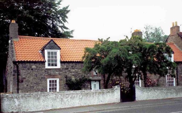
The last male heirs of the Killingworth family (Oliver and Luke) were dead by 1704. Their lands in Killingworth were divided between their sisters: Mehitabel, Deborah, Blandina and Bethseba. Dimisdale was assigned to Mehitabel Killingworth, wife of Thomas Partis. This was subsequently sold, along with other lands, around 1737 to John Williams of the Close Gate glass house. Williams died in 1763, leaving his Killingworth property to his son, John Williams, who rebuilt Killingworth Hall.
John Williams sold his Killingworth land and property in 1767 to George Colpitts. Colpitts was to pay a land tax of £8 4s. 9d. that year and again in 1779. This is just short of the figure for Burradon township. Calculations indicate that he held about 500 acres. In 1790 his niece and heiress, Elizabeth Harrison, married Henry Utrick Reay of County Durham and ownership of the lands passed to Utrick.
The common lands of Killingworth Township were enclosed by a parliamentary act in 1793. It is possible that some enclosure had taken place previous to this date – Dimisdale Farm could be almost coterminous with Hill Head farm which survived until the 1960s. Each landholder was allocated a tract of land within the township to enclose, where before they would have had scattered strips and closes throughout the township. About 20 north–south ridges can still be seen in a field to the south of the main road through the village.
Some enclosed land became individual farms, each adjoining the village. Henry Utrick Reay was allocated Hill Head farm, although part of this may have been sold shortly afterwards to the Ogle family of Burradon. Thomas Pugh was allocated West House farm, which ran to the line Moor View now occupies. He was also allocated White House farm, which covered the west side of Camperdown now occupied by an industrial estate.
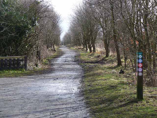
Other enclosed land was kept as common land; formed Killingworth Moor. The commoners were the owners of land in Killingworth and Longbenton. Prior to enclosure Newcastle races were held on the moor from the early 17th century. Racing eventually transferred to Newcastle Town Moor.
19th century
On 13 March 1828 Henry Utrick Reay died in London. His eldest daughter Elizabeth Anne inherited his lands. She married Matthew Bell of Woolsington. They were to live in Killingworth Hall. He served as a Member of Parliament.
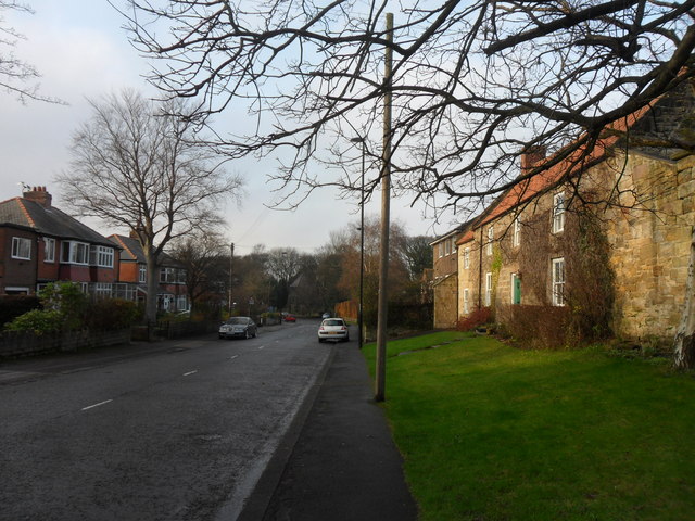
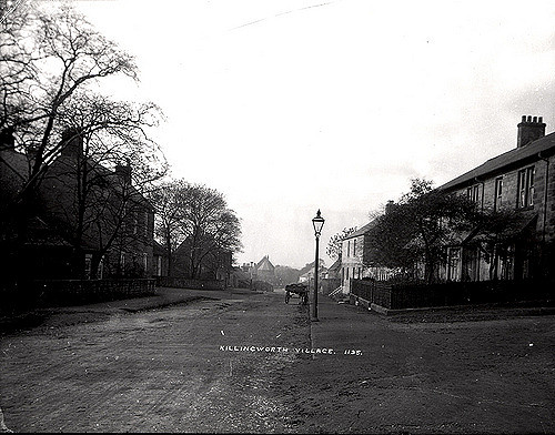
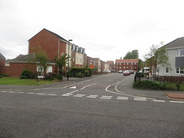
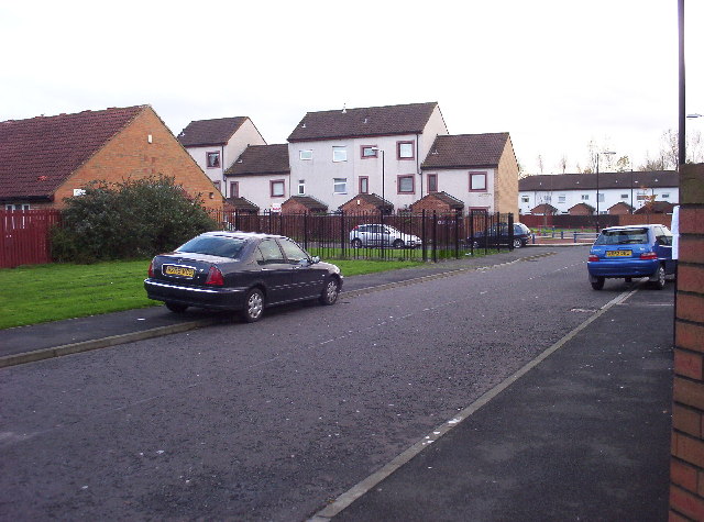
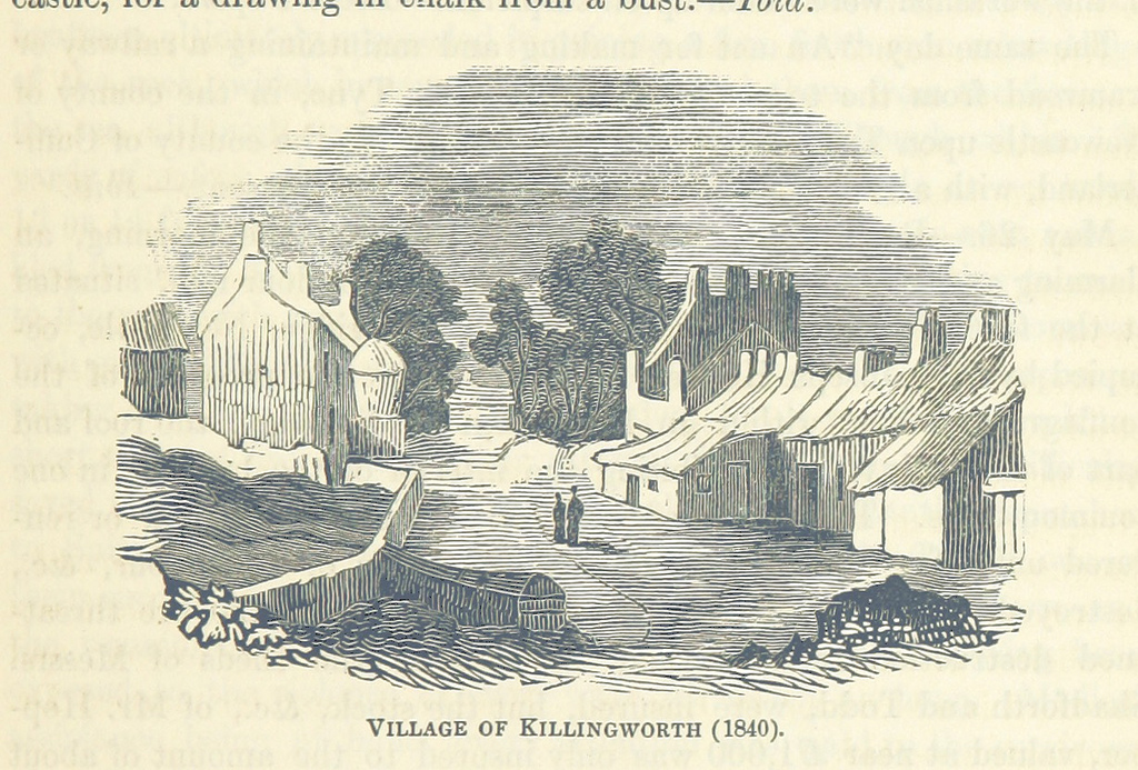
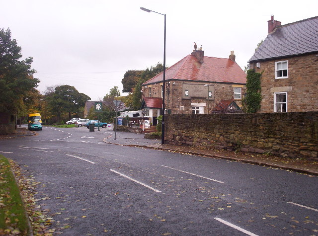
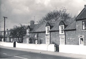
The 1841 Census recorded a population of 112 spread through 14 dwellings. The village consisted of two rows of cottages on both sides of the road. By the mid-nineteenth century a terrace had appeared, possibly connected with the developing mines in Killingworth and surrounding areas. To the north farms persisted. This pattern of development with 18th and 19th century stone buildings is identifiable today, though with recent infilling.
Killingworth Township was part of Longbenton parish. It was held as part of the barony of Merlay (Morpeth). Land within the township was held and tenemented by many individuals and institutions, mostly the Killingworth family.
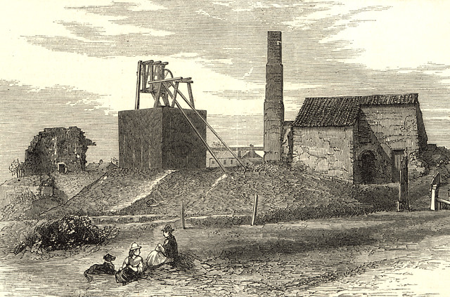
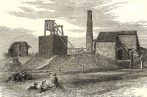
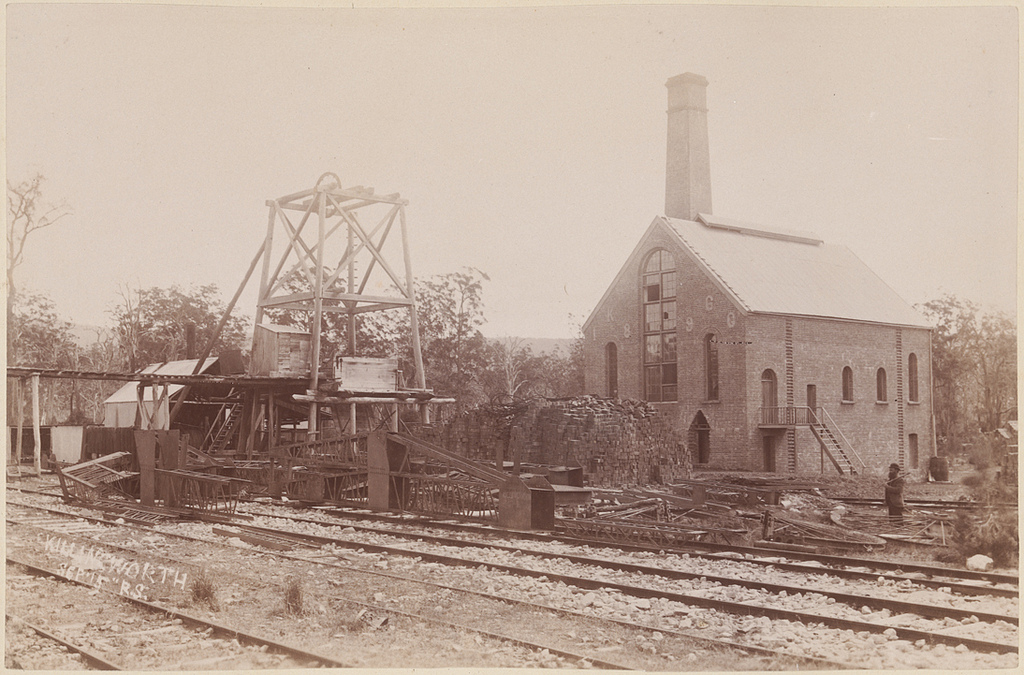
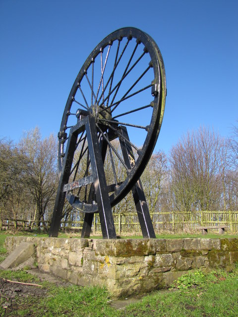
Killingworth was home to a number of pits including the world-famous Killingworth Colliery. In 1814 George Stephenson, enginewright at the colliery, built his first locomotive Blücher with the help and encouragement of his manager, Nicholas Wood, in the colliery workshop behind his house "Dial Cottage" on Lime Road. This locomotive could haul 30 tons of coal up a hill at 4 mph (6.4 km/h). It was used to tow coal wagons along the wagonway from Killingworth to the Wallsend coal staithes. Although Blücher did not survive long, it provided Stephenson with the knowledge and experience to build better locomotives for use both at Killingworth and elsewhere. Later he would build the famous Rocket in his locomotive works in Newcastle.
At the same time Stephenson was developing his own version of the miner's safety lamp, which he demonstrated underground in Killingworth pit a month before Sir Humphry Davy presented his design to the Royal Society in London in 1815. Known as the Geordie lamp it was to be widely used in the North-east in place of the Davy lamp.
New town
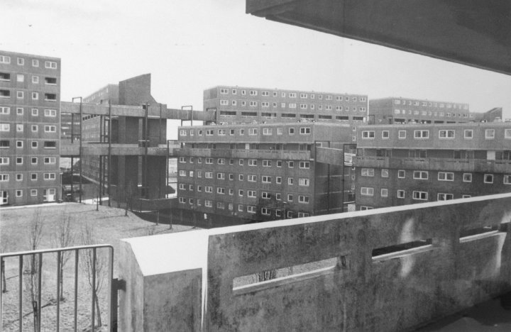
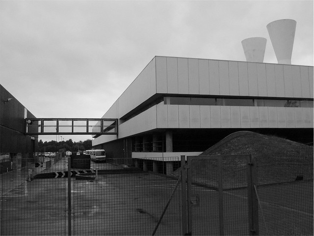
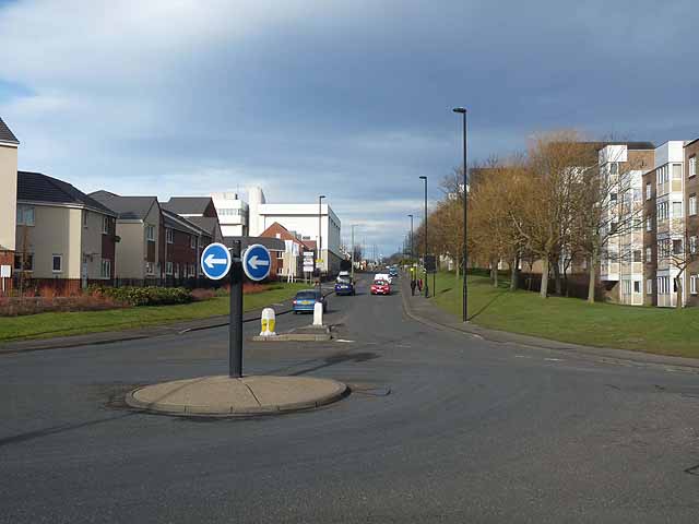
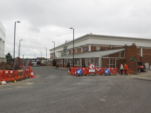
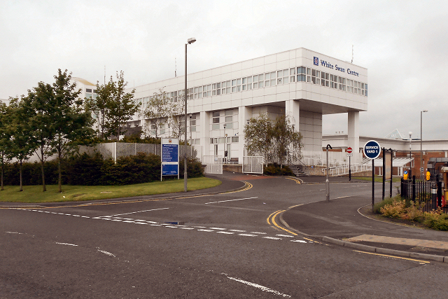
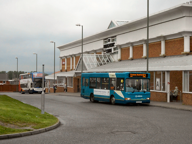
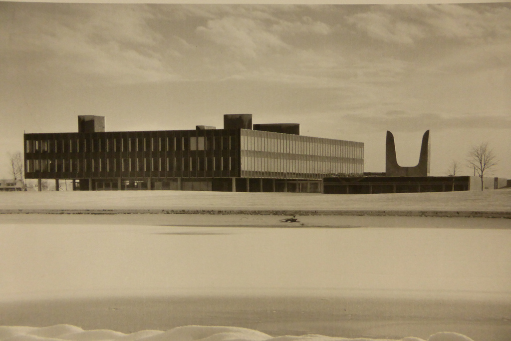
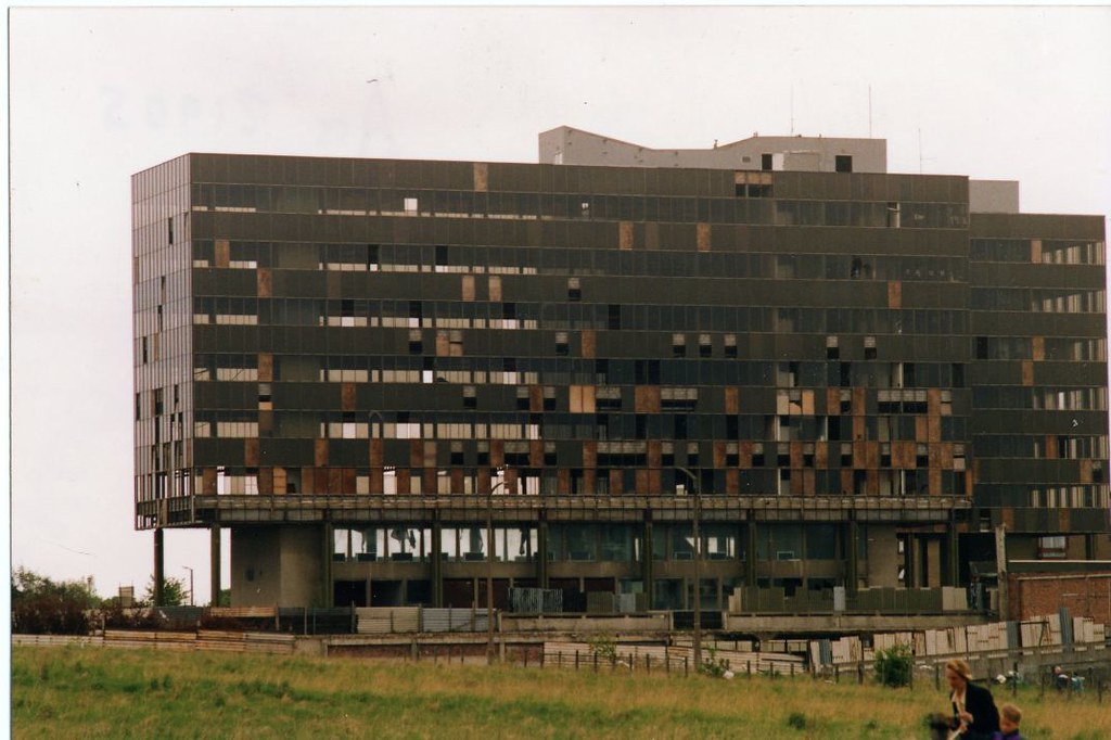
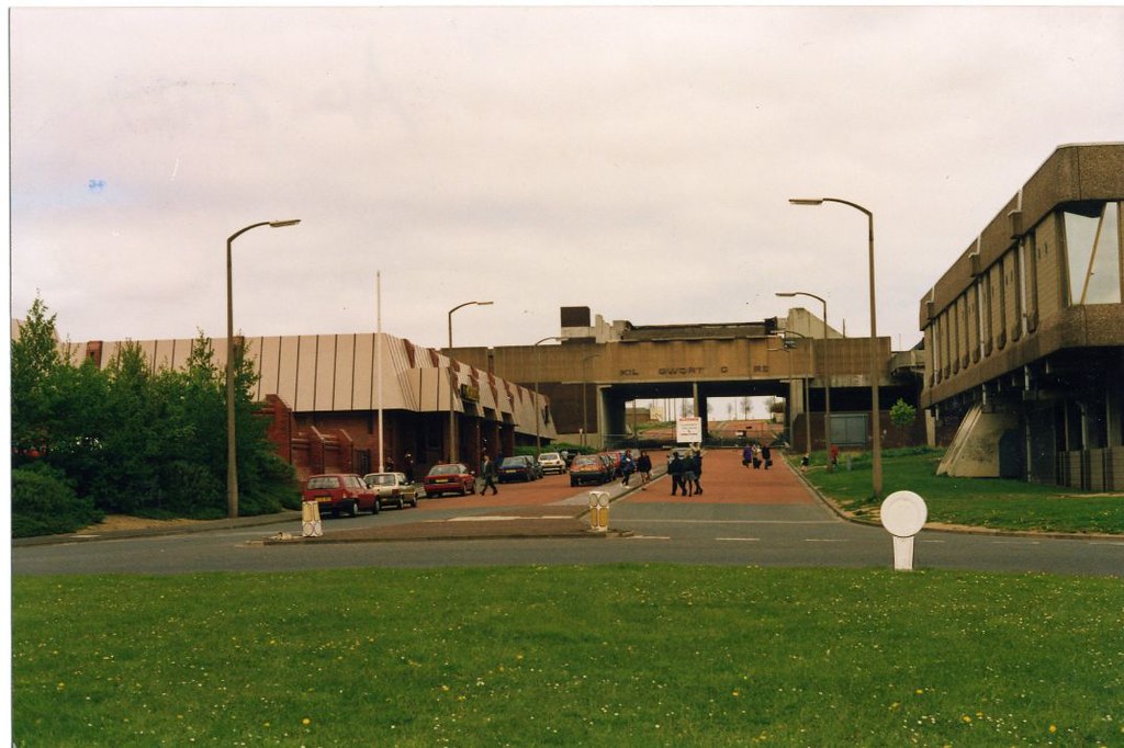
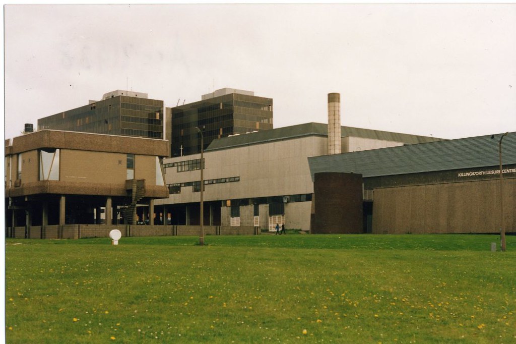
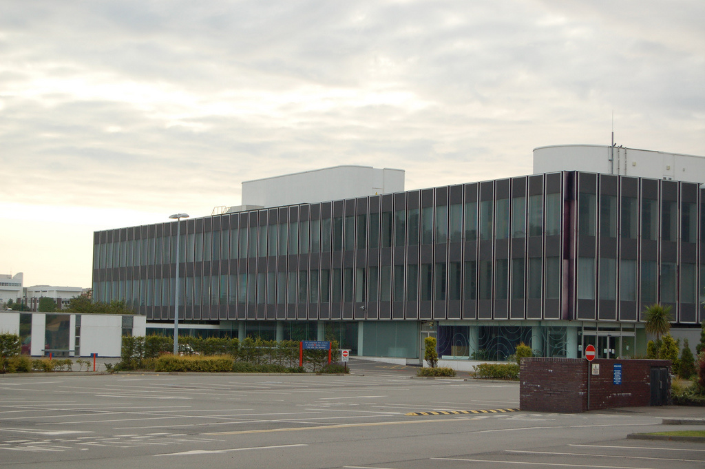
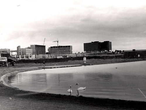
Construction of Killingworth, a new town, began in 1963. Intended for 20,000 people, it was a former mining community, formed on of derelict colliery land near Killingworth Village. The building of Killingworth Township was undertaken by Northumberland County Council and was not formally a 'New Town' sponsored by the Government.
Unlike that town, Killingworth's planners adopted a radical approach to town centre design, resulting in relatively high-rise buildings in an avant-garde and brutalist style that won awards for architecture, dynamic industry and attractive environment.
This new town centre consisted of pre-cast concrete houses, with millions of small crustacean shells unusually embedded into their external walls, 5 to 10 storey flats, offices, industrial units and service buildings, which often consisted of artistic non-functional characteristics, shops and residential multi-storey car parks, interconnected by ramps and walkways. These made up a deck system of access to shopping and other facilities, employing the Swedish Skarne method of construction.
Originally named Killingworth Township, the latter part was quickly dropped through lack of colloquial use. Killingworth is referred to as 'Killy' by many residents of the town and surrounding areas.
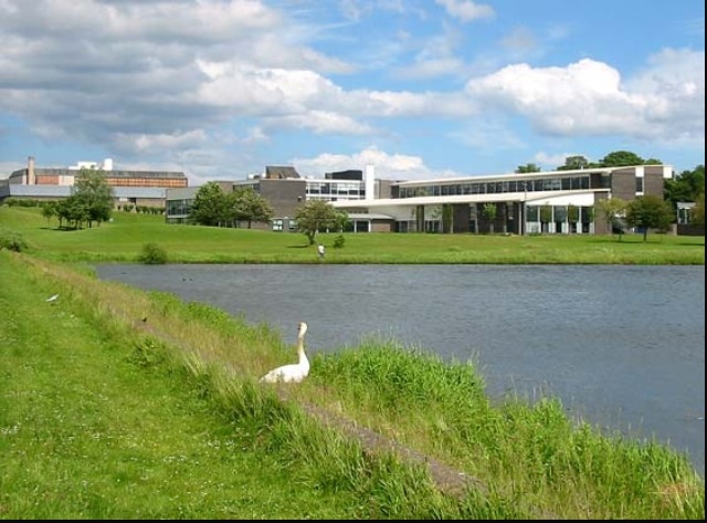
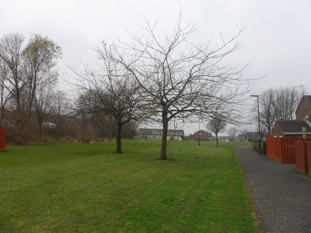
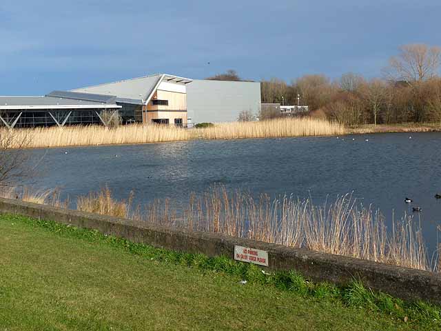
Around 1964, during the reclamation of the derelict pit sites, a lake south of the town centre was created; spoil heaps were leveled, seeded and planted with semi-mature trees. Today, swans, ducks and local wildlife live around the two lakes, which span the main road into Killingworth. The lake is kept well stocked with fish and an angling club and model boating club regularly use it.
Visit the page: Killingworth for references and further details. You can contribute to this article on Wikipedia.
from Newcastle libraries (flickr)
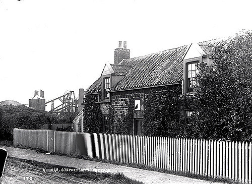
027457:George Stephenson's Cottage, Killingworth, 1895
Pinned by Phil Robinson

from https://farm3.staticflickr.co…
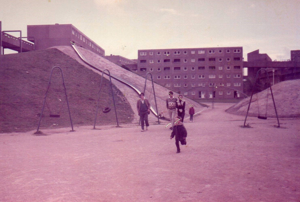
Killingworth lake
- This was killingworth lake in the 1960's. As you can tell it has dramatically changed now to what it was on this photo. Before this lake was here it used …
Added by
Simon Cotterill
from https://farm4.staticflickr.co…
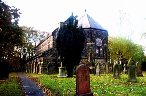
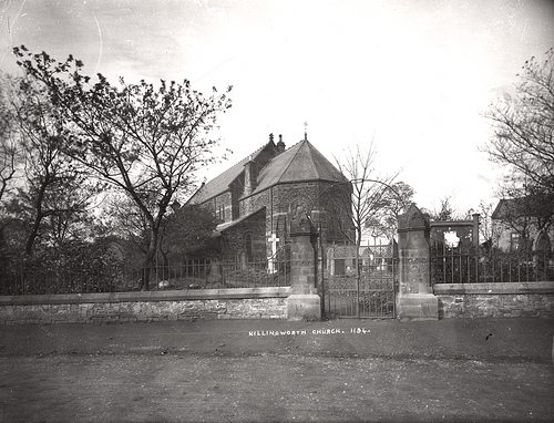
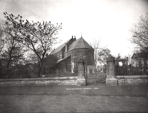
Killingworth church
- This church is in killingworth village. It is just behind George Stephenson high school. This photo was taken in 1905
Added by
Simon Cotterill


from IllustratedChronicles (flickr)
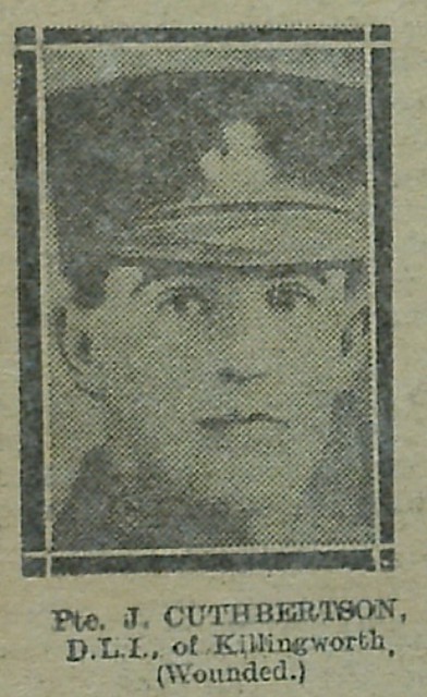
J Cuthbertson - DLI - Killingworth (Wounded)
Pinned by Simon Cotterill
from IllustratedChronicles (flickr)
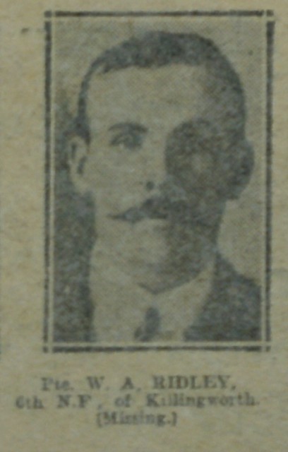
WA Ridley - 6th NF - Killingworth (Missing)
Pinned by Simon Cotterill
from IllustratedChronicles (flickr)
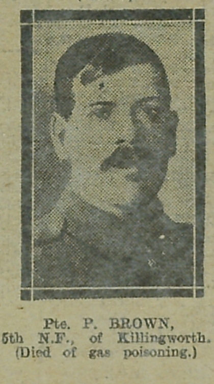
P Brown - 5th NF - Killingworth (Died of gas poisoning)
Pinned by Simon Cotterill
Co-Curate Page
George Stephenson High School
- Overview About the School Map Street View Our school is located in Killingworth in North Tyneside. The High School is named after the famous engineer George Stephenson who was once engine wright …
Co-Curate Page
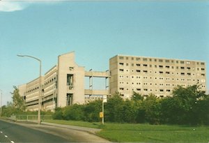
Killingworth Towers
- Killingworth Towers were built in the early 1970's with a well-intentioned 'streets in the sky' approach with 'decks' above the roads designed to provide social space and safe walking above …
Co-Curate Page
Move to West Moor, Killingworth
- Extract from: The Life of George Stephenson and of his son Robert Stephenson, by Samuel Smiles, 1881. After working for about three years as a brakesman at the Willington machine, …


Co-Curate Page
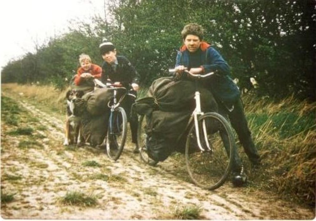
Old Killingworth
- My mam was born in 1983 an has always lived in Killingworth, with her family so it is very special to her. As you can imagine it looked very different …
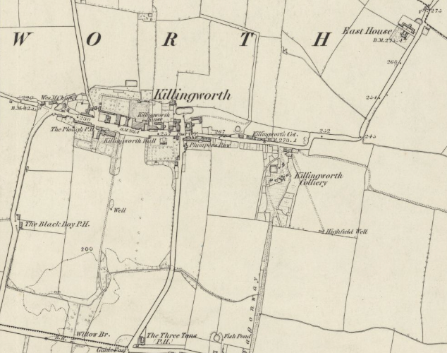
from https://maps.nls.uk/view/1023…
Killingworth
- Extract from Ordnance Survey map: Surveyed: 1858, Published: 1865. Northumberland Sheet LXXXIX. CC-BY (NLS)
Added by
Simon Cotterill

from Newcastle libraries (flickr)
027457:George Stephenson's Cottage, Killingworth, 1895
Pinned by Phil Robinson
from https://farm3.staticflickr.co…
Killingworth lake
- This was killingworth lake in the 1960's. As you can tell it has dramatically changed now to what it was on this photo. Before this lake was here it used …
Added by
Simon Cotterill
from https://farm4.staticflickr.co…
Killingworth church
- This church is in killingworth village. It is just behind George Stephenson high school. This photo was taken in 1905
Added by
Simon Cotterill
from IllustratedChronicles (flickr)
J Cuthbertson - DLI - Killingworth (Wounded)
Pinned by Simon Cotterill
from IllustratedChronicles (flickr)
WA Ridley - 6th NF - Killingworth (Missing)
Pinned by Simon Cotterill
from IllustratedChronicles (flickr)
P Brown - 5th NF - Killingworth (Died of gas poisoning)
Pinned by Simon Cotterill
Co-Curate Page
George Stephenson High School
- Overview About the School Map Street View Our school is located in Killingworth in North Tyneside. The High School is named after the famous engineer George Stephenson who was once engine wright …
Co-Curate Page
Killingworth Towers
- Killingworth Towers were built in the early 1970's with a well-intentioned 'streets in the sky' approach with 'decks' above the roads designed to provide social space and safe walking above …
Co-Curate Page
Move to West Moor, Killingworth
- Extract from: The Life of George Stephenson and of his son Robert Stephenson, by Samuel Smiles, 1881. After working for about three years as a brakesman at the Willington machine, …
Co-Curate Page
Old Killingworth
- My mam was born in 1983 an has always lived in Killingworth, with her family so it is very special to her. As you can imagine it looked very different …
from https://maps.nls.uk/view/1023…
Killingworth
- Extract from Ordnance Survey map: Surveyed: 1858, Published: 1865. Northumberland Sheet LXXXIX. CC-BY (NLS)
Added by
Simon Cotterill

Tyne and Wear

North Tyneside
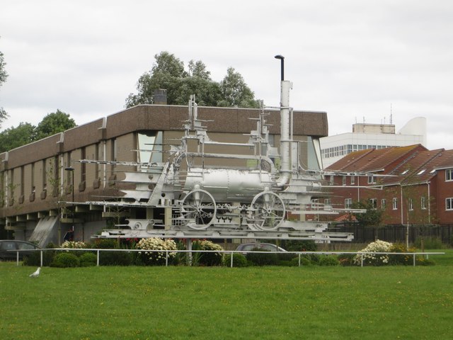
Blucher Sculpture, Killingworth
Church of St John the Evangelist, Killingworth
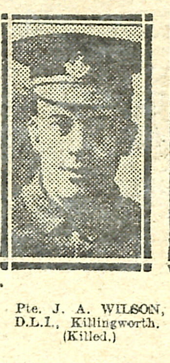
Killingworth at War
Killingworth Colliery, West Moor Pit (1802-1882)

Killingworth Conservation Area
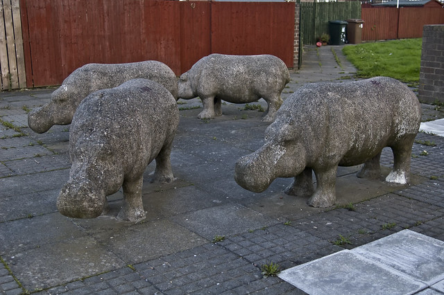
Killingworth Hippopotami
Killingworth Lake
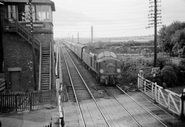
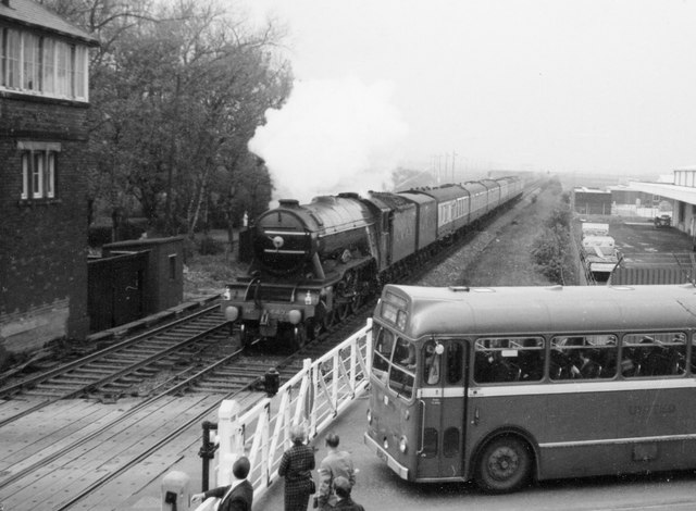
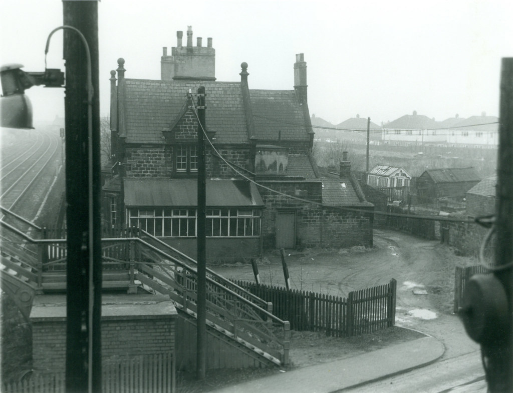
Killingworth Station (1847 - 1965)
Killingworth Township, 1960s and 70's
Killingworth Village

Killingworth Waggonway

Killingworth, 1848
Killingworth, Historical account, 1890
Map and Aerial View of Killingworth


