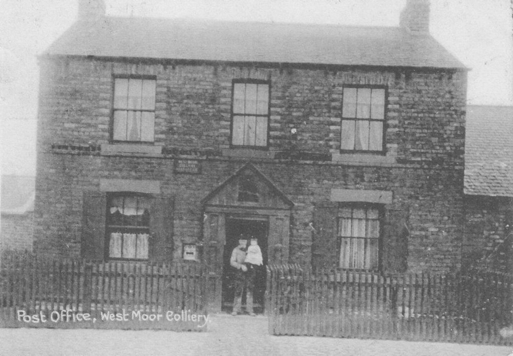
Topics > Tyne and Wear > North Tyneside > West Moor
West Moor
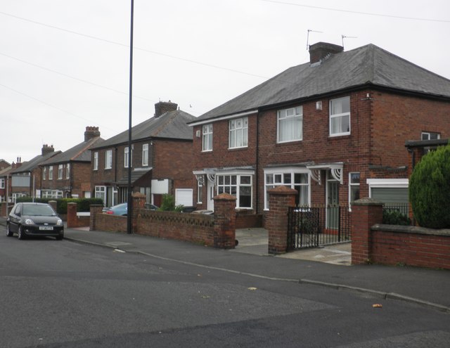
West Moor (also sometimes written as "Westmoor") is a small place in Tyne and Wear, UK.
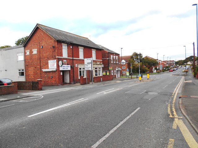
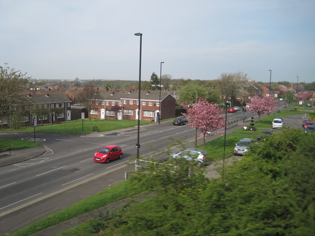
West Moor began as a colliery village around the beginning of the 19th century. It was so-called because it lies to the west of the ancient Killingworth Moor, which has now disappeared under development. It was at the colliery here in 1804 that George Stephenson started work as a brakeman. Rather than a village, West Moor might nowadays best be described as a suburb of Newcastle upon Tyne; it is close to Killingworth, Forest Hall, Longbenton and Gosforth Park.
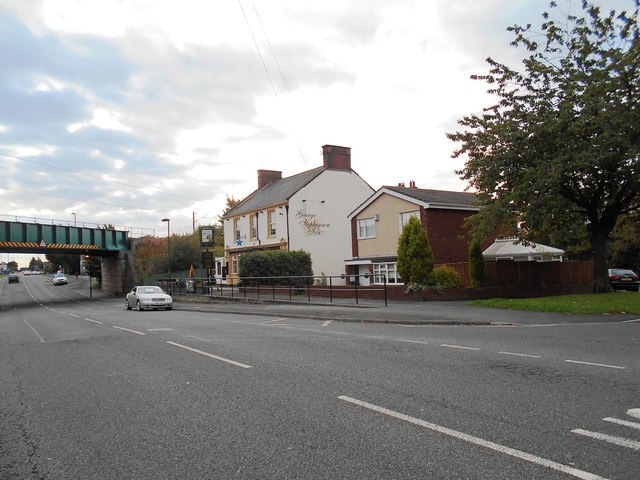
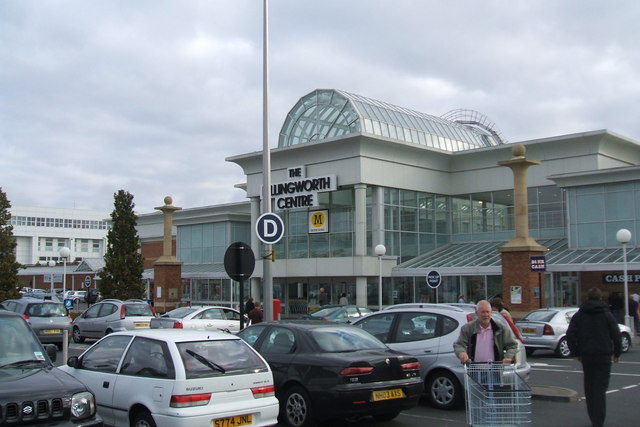
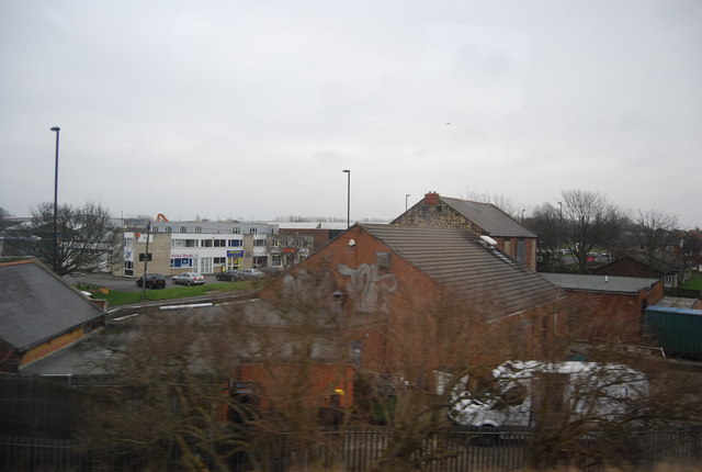
West Moor contains a primary school – its middle school was closed down in 2000 – several shops and a pub, the George Stephenson Inn. Trains on the East Coast Main Line run through West Moor over a railway bridge.
Places of interest
George Stephenson's Dial Cottage
George Stephenson became an assistant to his father and later followed in his footsteps to become the engineman at Killingworth colliery. It was there that Stephenson developed one of the earliest locomotives, called the Blücher, which ran on the Killingworth colliery railway in 1814. It was capable of pulling 30 tons up a grade at 4 miles per hour. He also convinced the mine manager to experiment with steam locomotion, and over the next several years Stephenson had built a further 16 engines at Killingworth.
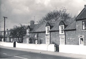
While developing the Blücher, Stephenson lived in "Dial Cottage", which still stands on the Great Lime Road in West Moor, south of Killingworth. When George moved in the cottage consisted of one room and a garret reached by a ladder. By the time he left he had extended and converted the premises to become a comfortable four-roomed house. The cottage has a sundial, made by Stephenson himself, and a plaque above the door which reads

from Geograph (geograph)
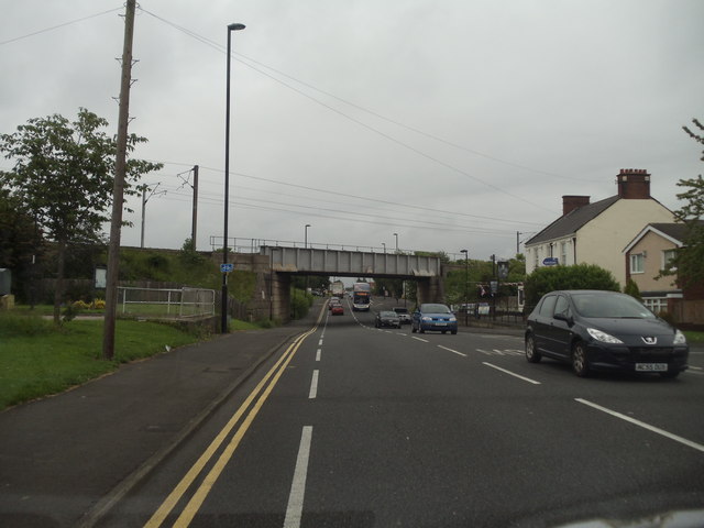
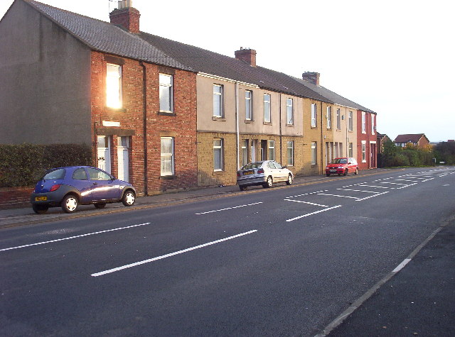
View from a Newcastle-Edinburgh train - Great Lime Road, West Moor
Pinned by Simon Cotterill
from Geograph (geograph)
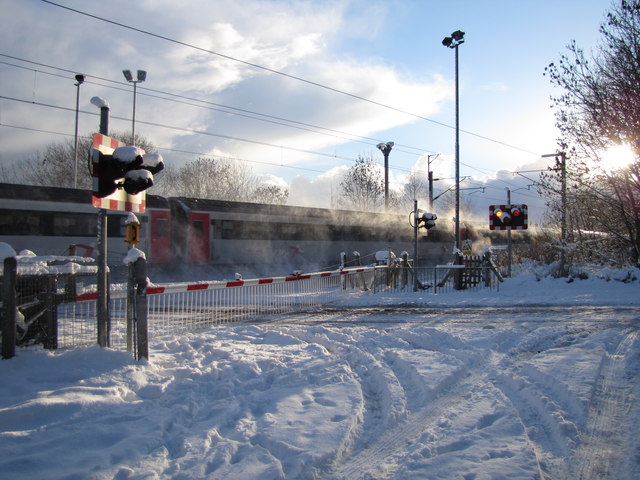
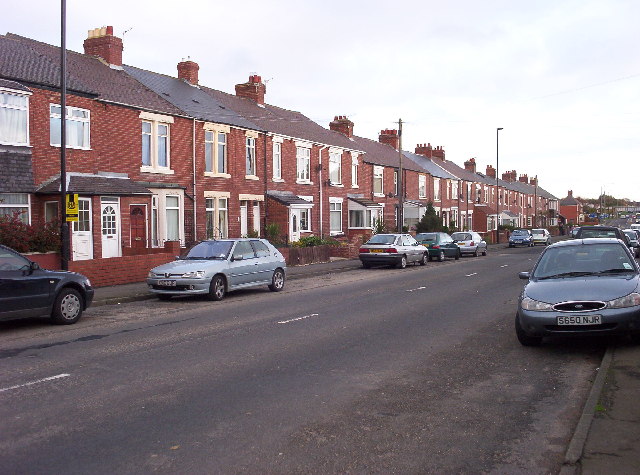
The Railway Bridge over Great Lime Road, Westmoor
Pinned by Simon Cotterill
Co-Curate Page
Killingworth
- Overview History Map Street View Killingworth Village Killingworth Colliery Killingworth Waggonway Dial Cottage Killingworth Lake St John's Church Killingworth New Town Killingworth Towers Research Station GS High School Medieval According …

from http://www.twsitelines.info/S…
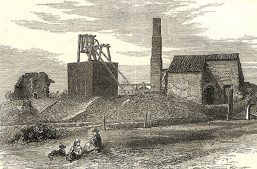
Tyne and Wear HER(1082): Killingworth Colliery, West Moor Pit
- Detailed Historic Environment Record.
Added by
Simon Cotterill
from http://twsitelines.info/SMR/1…
Tyne and Wear HER(16217): West Moor, Crank Row
- "Terraced housing shown on the First Edition Ordnance Survey Plan 1861 associated with West Moor Pit, Killingworth Colliery (HER1082). Demolished 1960s to make way for the construction of Killingworth new …
Added by
Simon Cotterill
from http://twsitelines.info/SMR/1…
Tyne and Wear HER(16219): West Moor, Long Row
- "Terraced housing shown on the First Edition Ordnance Survey Plan 1861 associated with West Moor Pit, Killingworth Colliery (HER1082). Demolished c.1970s....."
Added by
Simon Cotterill
from https://sitelines.newcastle.g…
Tyne and Wear HER(16220): West Moor, Cross Row
- "Terraced housing shown on the First Edition Ordnance Survey Plan 1861 associated with West Moor Pit, Killingworth Colliery (HER1082). Demolished 1960s to make way for the construction of Killingworth new …
Added by
Simon Cotterill

from https://www.get-information-s…
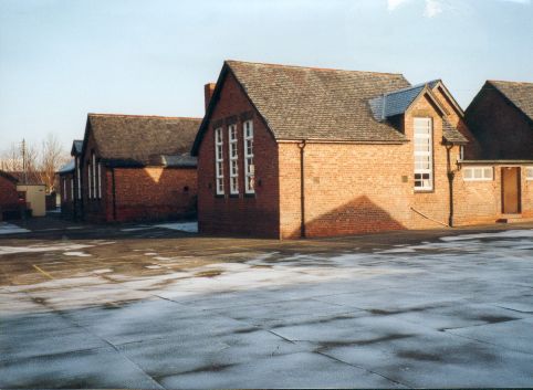
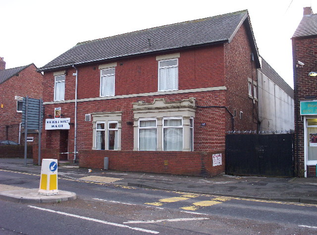
Westmoor Middle School (closed)
- The school closed: 31/08/2000. Location: Benton Lane, West Moor, Newcastle-upon-Tyne, Tyne and Wear, NE12 7PT.
Added by
Simon Cotterill

from Geograph (geograph)
View from a Newcastle-Edinburgh train - Great Lime Road, West Moor
Pinned by Simon Cotterill
from Geograph (geograph)
The Railway Bridge over Great Lime Road, Westmoor
Pinned by Simon Cotterill
Co-Curate Page
Killingworth
- Overview History Map Street View Killingworth Village Killingworth Colliery Killingworth Waggonway Dial Cottage Killingworth Lake St John's Church Killingworth New Town Killingworth Towers Research Station GS High School Medieval According …
from http://www.twsitelines.info/S…
Tyne and Wear HER(1082): Killingworth Colliery, West Moor Pit
- Detailed Historic Environment Record.
Added by
Simon Cotterill
from http://twsitelines.info/SMR/1…
Tyne and Wear HER(16217): West Moor, Crank Row
- "Terraced housing shown on the First Edition Ordnance Survey Plan 1861 associated with West Moor Pit, Killingworth Colliery (HER1082). Demolished 1960s to make way for the construction of Killingworth new …
Added by
Simon Cotterill
from http://twsitelines.info/SMR/1…
Tyne and Wear HER(16219): West Moor, Long Row
- "Terraced housing shown on the First Edition Ordnance Survey Plan 1861 associated with West Moor Pit, Killingworth Colliery (HER1082). Demolished c.1970s....."
Added by
Simon Cotterill
from https://sitelines.newcastle.g…
Tyne and Wear HER(16220): West Moor, Cross Row
- "Terraced housing shown on the First Edition Ordnance Survey Plan 1861 associated with West Moor Pit, Killingworth Colliery (HER1082). Demolished 1960s to make way for the construction of Killingworth new …
Added by
Simon Cotterill
from https://www.get-information-s…
Westmoor Middle School (closed)
- The school closed: 31/08/2000. Location: Benton Lane, West Moor, Newcastle-upon-Tyne, Tyne and Wear, NE12 7PT.
Added by
Simon Cotterill