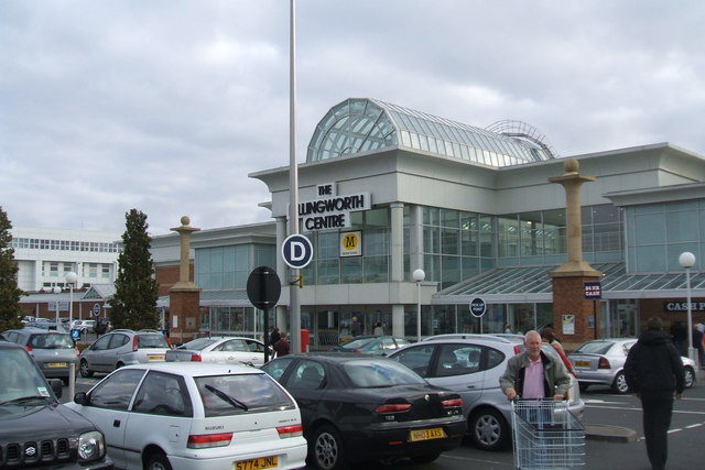
Topics > Tyne and Wear > North Tyneside > Killingworth > Killingworth Village
Killingworth Village
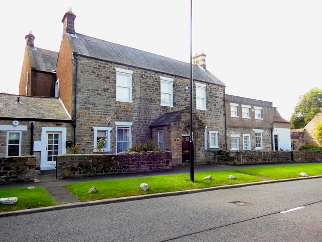
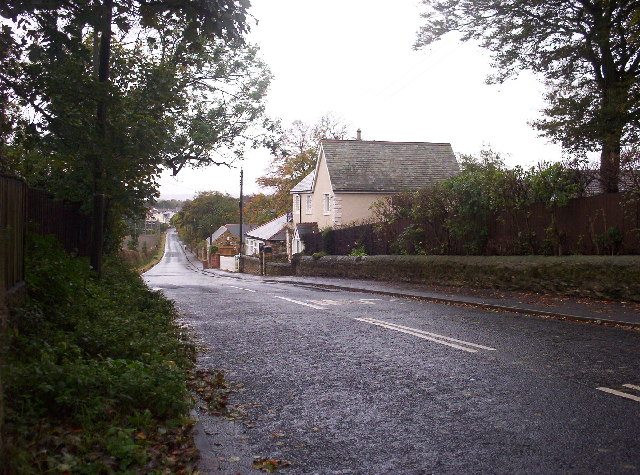
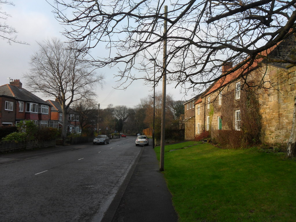
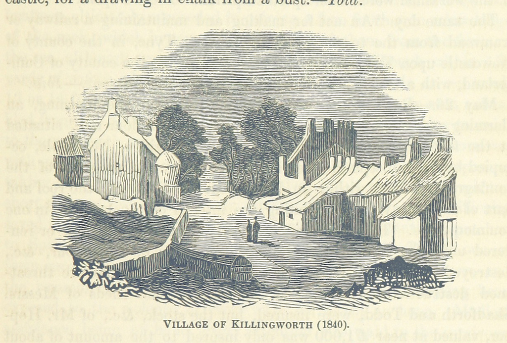
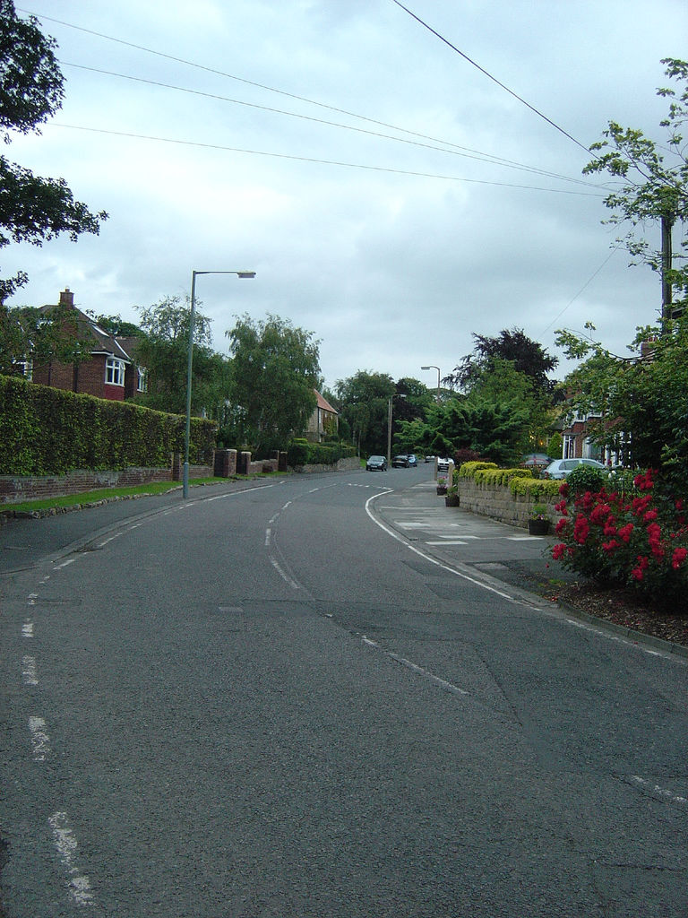
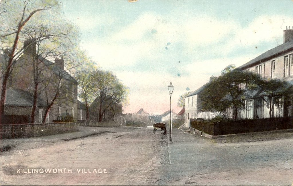
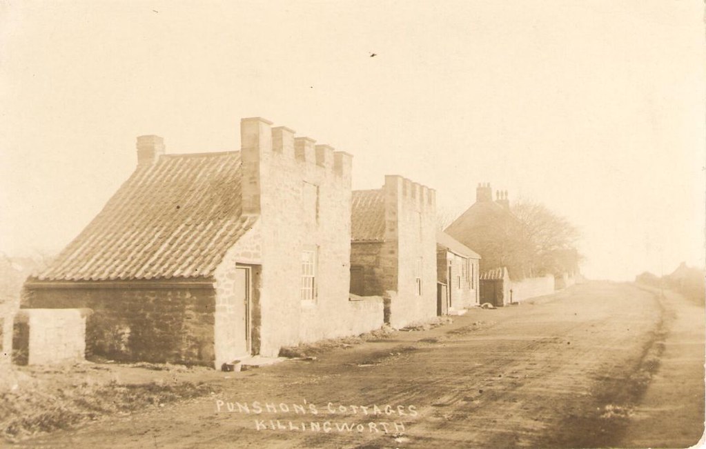
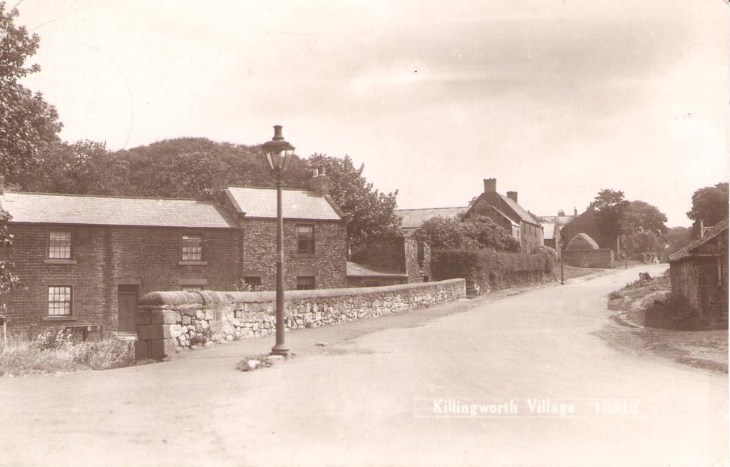
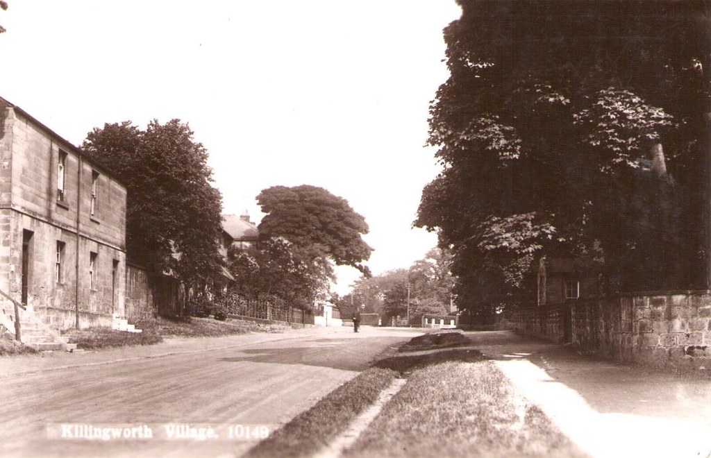
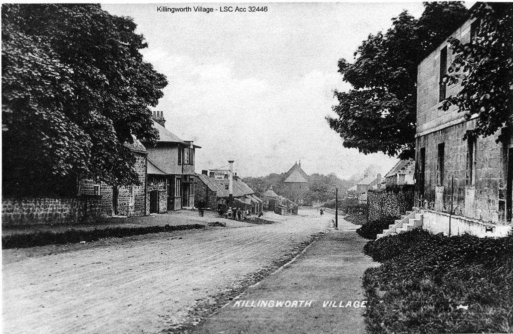
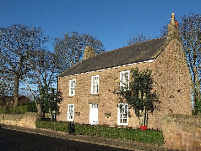
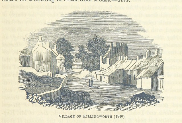 Killingworth Village is located in the south east part of today's Killingworth. The old village and surrounding area was an important industrial area during the 18th and 19th centuries, with several local collieries, quarries, a clay pit, sawmill, brick works and a tile works. The village is designated conservation area.
- The village belonged to the barony of Roger de Merlay III in 1242
- The Newcastle Races wer held on Killingworth Moor during the 17th century.
- In 1793 Killingworth Moor was enclosed by the construction of West Lane, Great Lime Road and Killingworth Road.
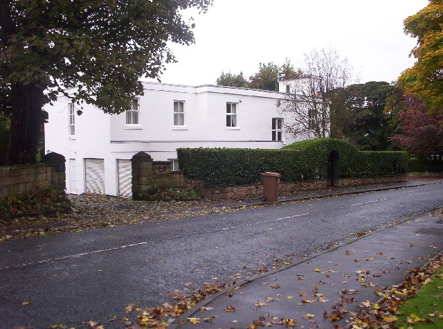
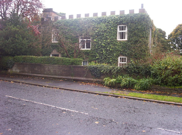
- The village grew, including new homes built for the wealthy mine owners and businessmen who were moving to the area; including Killingworth House (1732) and Killingworth Hall (rebuilt 1765).
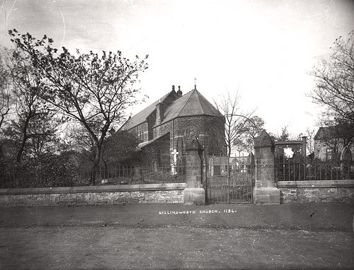
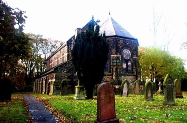
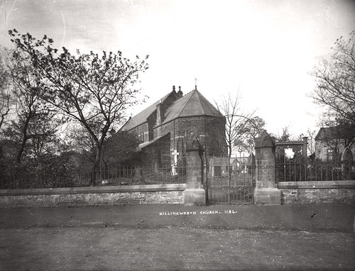
- In 1865 Killingworth separated from Longbenton to become its own distinct ecclesiastical parish; St. John the Evangelist Church was established in 1869.
(Source: Killingworth Village Conservation Area Character Appraisal, 2008)

Ordnance Survey map. Surveyed: 1858, Published: 1865: Northumberland Sheet LXXXIX [CC-BY (NLS)]
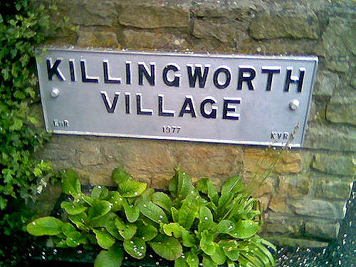
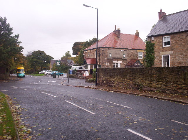
Killingworth Village, sometimes known as "Old Killingworth", is a small village south of the modern town of Killingworth, and north of Forest Hall in North Tyneside, North East England.
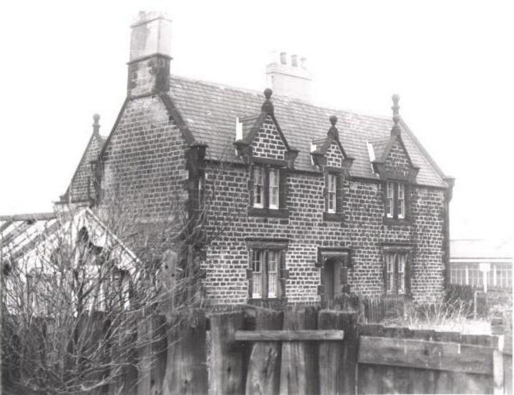
St. John the Evangelist Church
The village church was designed by Bassett Keeling of London, and is faced with local stone, with bands of pink sandstone from a local quarry. It is surrounded by elm and sycamore trees, and ministers to a wide age-group including young families.
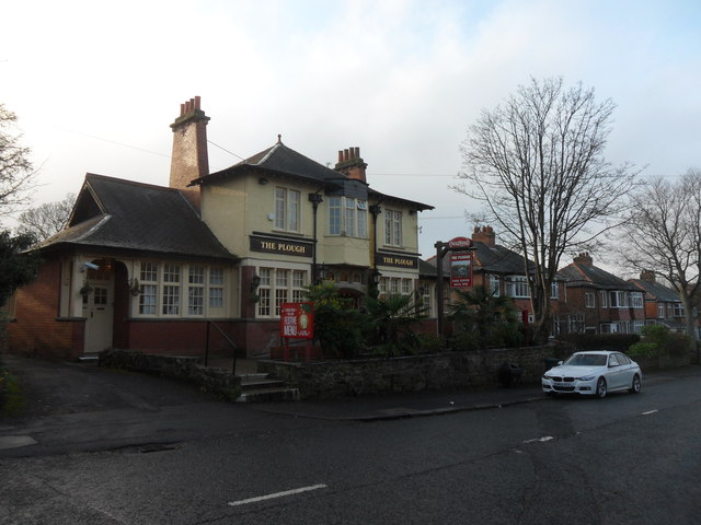
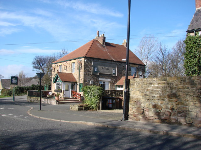
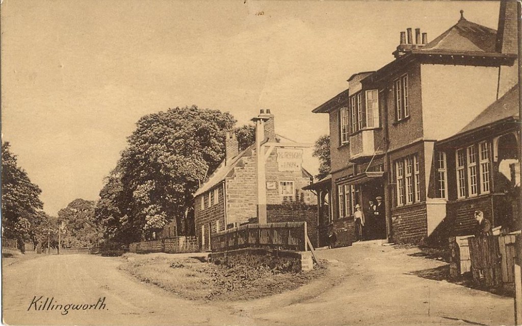
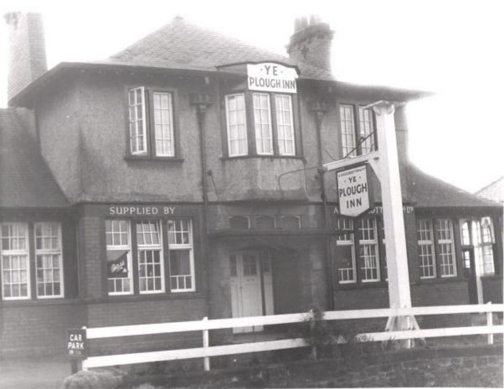
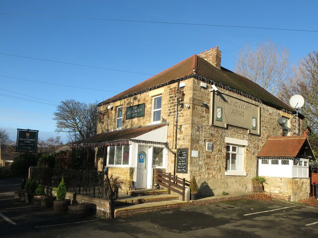
Public houses
There are two public houses in Killingworth Village: the Plough and The Killingworth Arms.Killingworth Arms Football Club is a Sunday league team, in the North East Sunday Football League Division D.
Visit the page: Killingworth Village for references and further details. You can contribute to this article on Wikipedia.
from https://farm4.staticflickr.co…
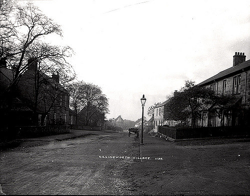
Killingworth church
- This church is in killingworth village. It is just behind George Stephenson high school. This photo was taken in 1905
Added by
Simon Cotterill

from http://www.twsitelines.info/S…
Tyne and Wear HER(800): Killingworth village
- "In 1242 Killingworth, with other nearby townships, was held by Roger de Merlay III. There were 9 taxpayers in 1296, 8 in 1312. In a detailed survey of the whole …
Added by
Peter Smith
from http://www.northtyneside.gov.…
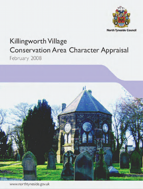
Killingworth Village Conservation Area Character Appraisal
- Killingworth Village conservation area was designated in November 1974. This character appraisal
was prepared during Autumn 2007 by North Tyneside Council. It includes detailed history and extensive photographs.
Added by
Peter Smith

Co-Curate Page
Church of St John the Evangelist
- Overview Map Street View The Church of St John the Evangelist is located on West Lane in Killingworth Village. Killingworth had been part of the parish of Longbenton, but became …

Co-Curate Page
Killingworth, 1848
- KILLINGWORTH, a township, in the parish of Long Benton, union of Tynemouth, E. division of Castle ward, S. division of Northumberland, 5½ miles (N.E. by N.) from Newcastle-upon-Tyne; comprising 1,656a. …

from https://farm4.staticflickr.co…
Killingworth church
- This church is in killingworth village. It is just behind George Stephenson high school. This photo was taken in 1905
Added by
Simon Cotterill
from http://www.twsitelines.info/S…
Tyne and Wear HER(800): Killingworth village
- "In 1242 Killingworth, with other nearby townships, was held by Roger de Merlay III. There were 9 taxpayers in 1296, 8 in 1312. In a detailed survey of the whole …
Added by
Peter Smith
from http://www.northtyneside.gov.…
Killingworth Village Conservation Area Character Appraisal
- Killingworth Village conservation area was designated in November 1974. This character appraisal
was prepared during Autumn 2007 by North Tyneside Council. It includes detailed history and extensive photographs.
Added by
Peter Smith
Co-Curate Page
Church of St John the Evangelist
- Overview Map Street View The Church of St John the Evangelist is located on West Lane in Killingworth Village. Killingworth had been part of the parish of Longbenton, but became …


