Topics > Tyne and Wear > Newcastle upon Tyne > Brenkley
Brenkley
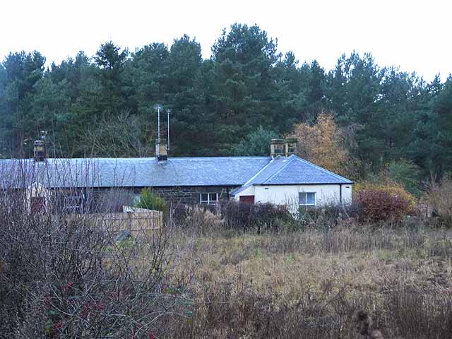
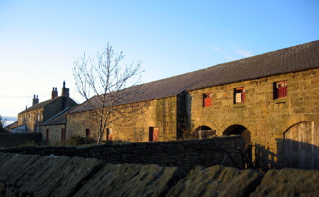
Brenkley is a hamlet which is located about 7 miles north the city centre of Newcastle and 1 mile north-east of the village of Dinnington. Brenkley Lane Opencast Mine is located to the north of the hamlet. Historically, Brenkley was a township in the ancient parish of Dinnington. In 1866, Brenkley Civil Parish was formed from the township, following the Poor Law Amendment Act 1866. However, Brenkley Civil Parish was abolished in 1955 and the area became part of Dinnington Civil Parish. Prior to 1974, Brenkley was part of the county of Northumberland, after which, as part of the City of Newcastle it was transferred to Tyne and Wear.
BRENKLEY, a township, in the parish of Dinnington, union and W. division of Castle ward, S. division of Northumberland, 7½ miles (N. by W.) from Newcastle-upon-Tyne; containing 56 inhabitants. It lies above three miles north-east from Ponteland, and nearly a mile west from the great post road. The tithes have been commuted for £141, payable to Merton College, Oxford, and £9 to the vicar.
Extract from: A Topographical Dictionary of England comprising the several counties, cities, boroughs, corporate and market towns, parishes, and townships..... 7th Edition, by Samuel Lewis, London, 1848.

from https://www.twsitelines.info/…
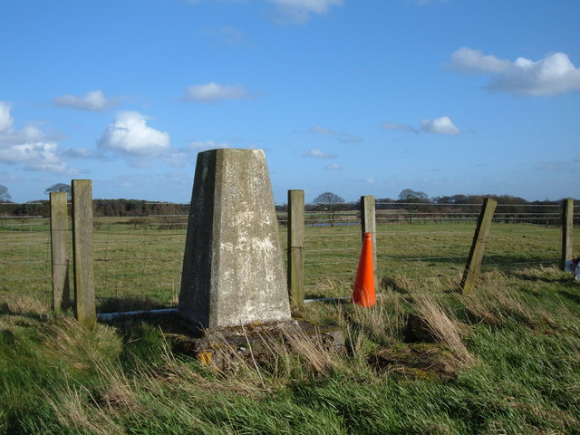
Tyne and Wear HER(1334): Brenkley mill
- "The mill of Brenkley is first mentioned in the early 13th century when Henry de Ferlington granted one mark of rent from the mill to Hexham Priory. The rent later …
Added by
Simon Cotterill
from Geograph (geograph)
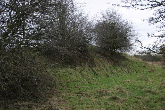
Remains of a spoil heap at the site of the Brenkley Drift Mine
Pinned by Simon Cotterill

Co-Curate Page
Dinnington Parish, 1855
- Extract from: History, Topography, and Directory of Northumberland...Whellan, William, & Co, 1855. DINNINGTON PARISH. DINNINGTON is a parish, comprising the townships of Brenkley, Dinnington, Horton Grange, Mason, Prestwick, and …

from https://www.twsitelines.info/…
Tyne and Wear HER(1334): Brenkley mill
- "The mill of Brenkley is first mentioned in the early 13th century when Henry de Ferlington granted one mark of rent from the mill to Hexham Priory. The rent later …
Added by
Simon Cotterill
from Geograph (geograph)
Remains of a spoil heap at the site of the Brenkley Drift Mine
Pinned by Simon Cotterill