Topics > Northumberland > Fairhaugh

Fairhaugh


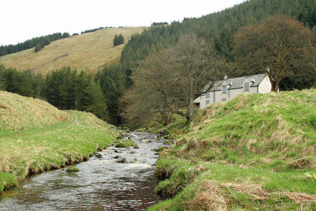
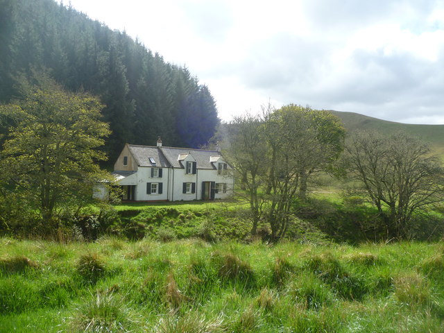
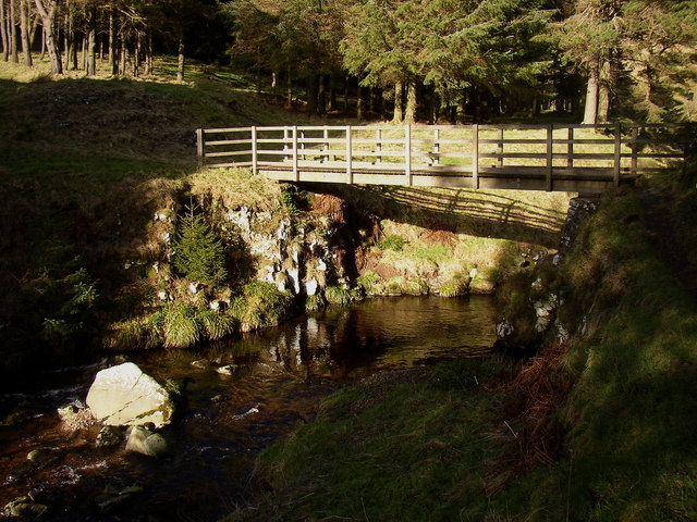
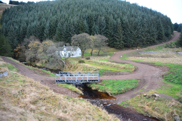
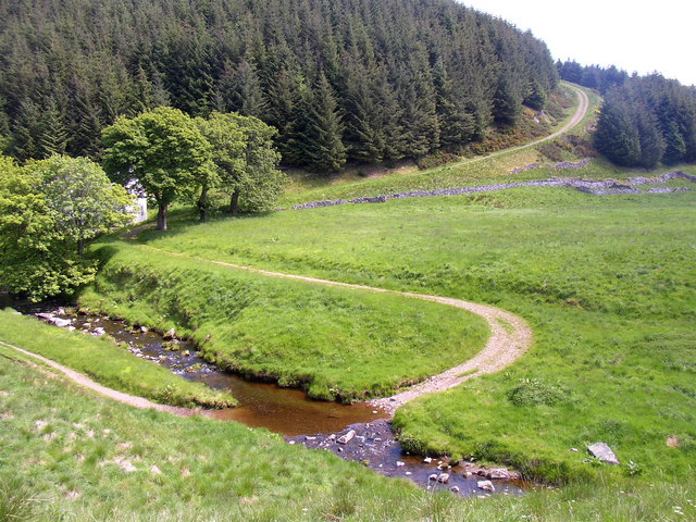
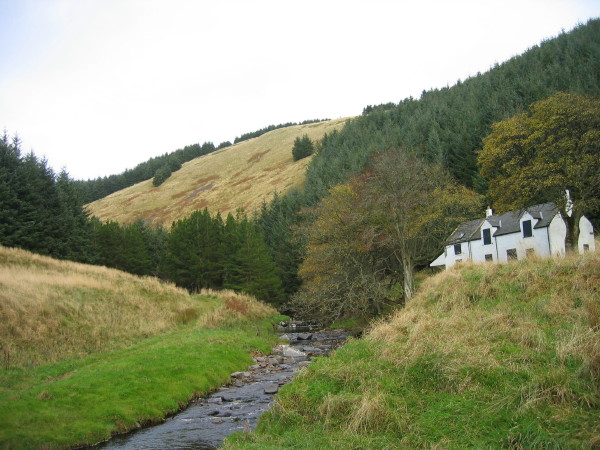
FAIRHAUGH, a township, in the parish of Allenton, union of Rothbury, W. division of Coquetdale ward, N. division of Northumberland, 13 miles (N.N.W.) from Rothbury; containing 5 inhabitants. It lies on the Usway burn, north of the Coquet river; the soil, which is generally poor, is covered with heath.

Extract from: A Topographical Dictionary of England comprising the several counties, cities, boroughs, corporate and market towns, parishes, and townships..... 7th Edition, by Samuel Lewis, London, 1848.

Northumberland Alwinton Parish, 1848
from Geograph (geograph)
Fairhaugh

Pinned by Simon Cotterill
from Geograph (geograph)
Fairhaugh

Pinned by Simon Cotterill
from Geograph (geograph)
Footbridge at Fairhaugh.

Pinned by Simon Cotterill
from Geograph (geograph)
Fairhaugh Ford

Pinned by Simon Cotterill
from Geograph (geograph)
The ford at Fairhaugh

Pinned by Simon Cotterill
from Geograph (geograph)
Fairhaugh and the Usway Burn

Pinned by Simon Cotterill

Comments

Add a comment or share a memory.

Login to add a comment. Sign-up if you don't already have an account.


ABOUT US

Co-Curate is a project which brings together online collections, museums, universities, schools and community groups to make and re-make stories and images from North East England and Cumbria. Co-Curate is a trans-disciplinary project that will open up 'official' museum and 'un-officia'l co-created community-based collections and archives through innovative collaborative approaches using social media and open archives/data.

LATEST SHARED RESOURCES