Topics > Northumberland > Wooler
Wooler
Could you join in and contribute to the Wooler Timeline?
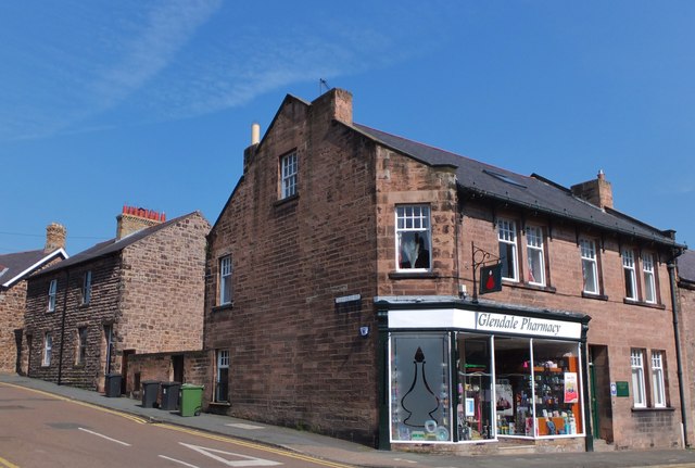
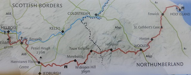
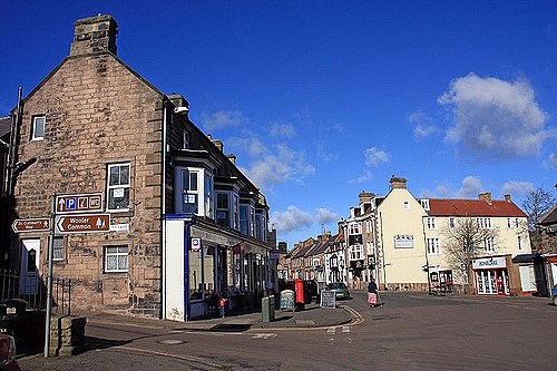
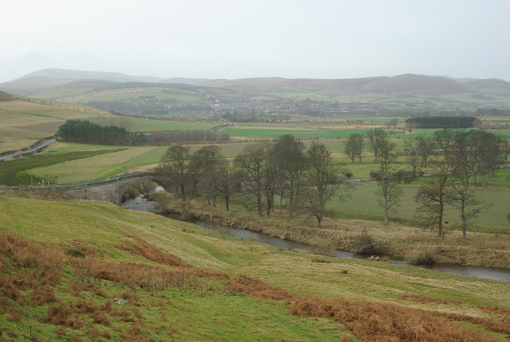
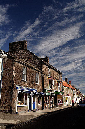
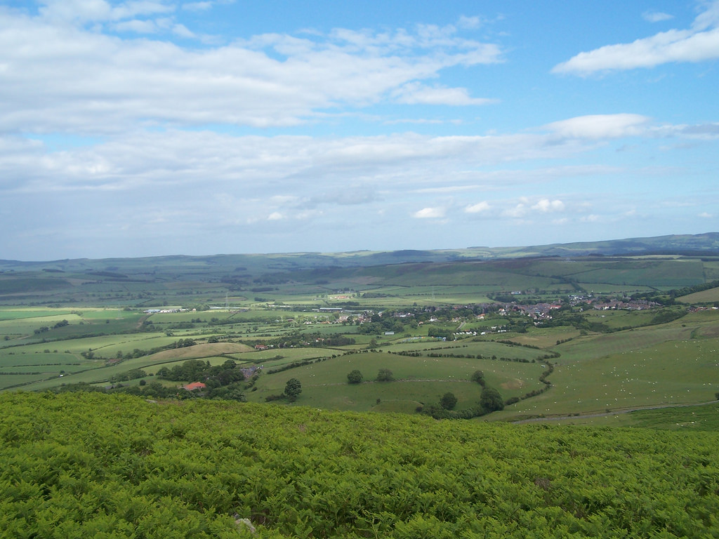
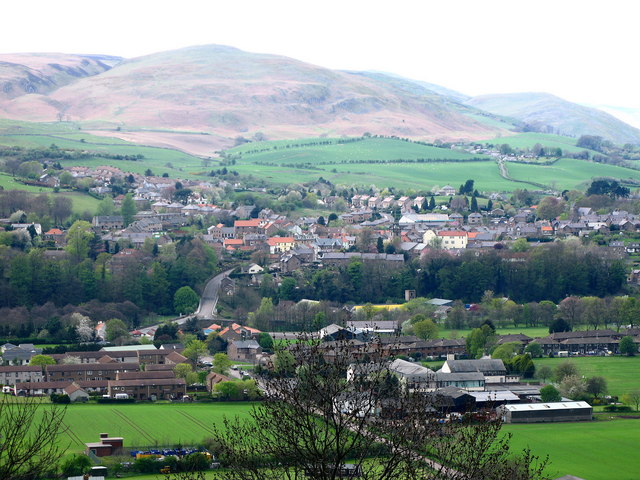
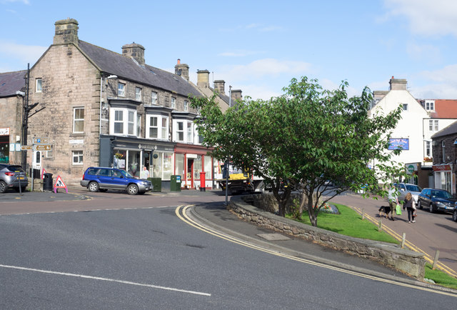
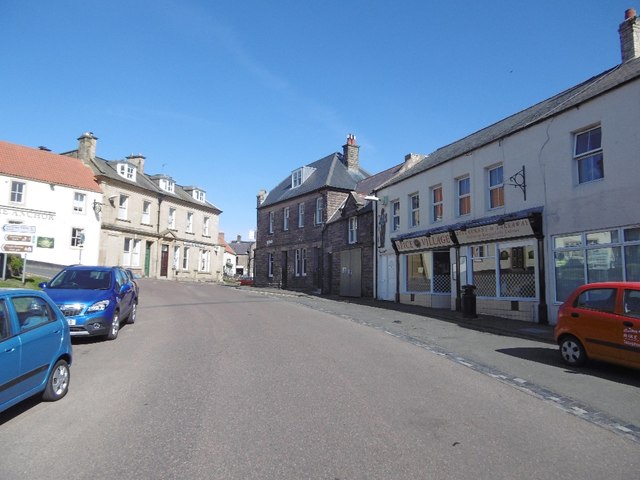
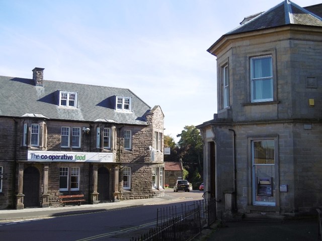
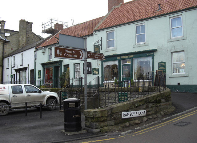
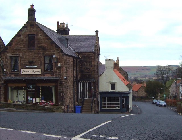
Wooler is a small town in Northumberland, England. It lies on the edge of the Northumberland National Park, by the Cheviot Hills and so is a popular base for walkers and is referred to as the "Gateway to the Cheviots". As well as many shops and pubs, the town boasts a youth hostel, many hotels and campsites. It lies on the St. Cuthbert's Way long distance trail between Melrose Abbey and Lindisfarne.
The main A697 runs by the town linking Morpeth to Coldstream on the Scottish Border. Wooler contains two schools; Wooler First School and Glendale Middle School.
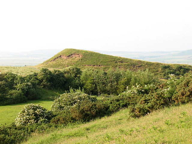
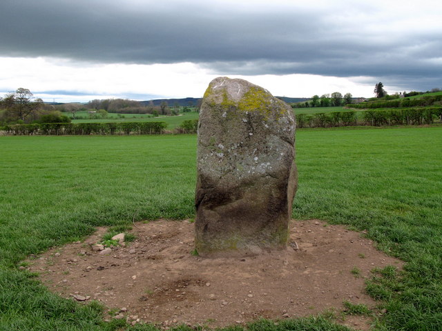
Close by is Yeavering Bell crowned by a large iron-age fort, a stronghold of the Votadini.
History
Wooler was not recorded in the Domesday Book, because when the book was written in 1086, northern Northumbria was not under Norman control. However, by 1107, at the time of the creation of the 1st Baron of Wooler, the settlement was described as "situated in an ill-cultivated country under the influence of vast mountains, from whence it is subject to impetuous rains". Wooler subsequently enjoyed a period of prosperity and with its expansion it was granted a licence in 1199 to hold a market every Thursday. The St. Mary Magdalene Hospital was established around 1288.
Wooler is close to Humbleton Hill the site of a severe Scottish defeat at the hands of Harry Hotspur in 1402. This battle is referred to at the beginning of William Shakespeare's play Henry IV, Part 1 – of which Hotspur is the dashing hero.
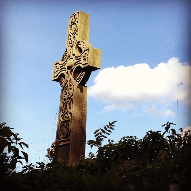
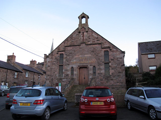
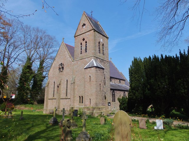
Wooler also used to have a drill hall that was the local "picture house" which children were evacuated to in World War II. There also used to be a fountain situated at the top of Church Street in the town. There are three churches in the town, all of which are Grade II listed buildings. The Anglican St Mary's dates from 1765 but has had church on the site for 700 years, the Catholic St Ninian's dates from 1856 while the United Reformed Church in Cheviot Street dates from 1778.
Alexander Dalziel of Wooler (1781–1832) was the father of the celebrated Dalziel Brothers. Seven of his eight sons were artists, and became celebrated engravers in London. Their sister Margaret was also an engraver.
Between 1887 and 1965 the town was served by Wooler railway station on the Alnwick to Cornhill Branch.
Meaning of place-name
Wooler may be from Old English wella "well, spring" and ofer (ridge, hill). A record of the name as Welnfver in 1186 seems to suggest this origin. The well or spring referred to is the River Till. The Wooler Water, (part of which is also known as `Happy Valley'), is a tributary of the River Till and is formed by a confluence of the Harthope and Carey Burns which rise in the Cheviot Hills, to the south of Wooler.
The other origin may be "Wulfa's hillside", from the Old English personal name Wulfa "wolf" and őra "hillside, slope", although this word in place-names usually means "river mouth, shore". A record of the name as Wulloir in 1232 may suggest this origin.
It is not certain which is the actual origin.
Governance
An electoral ward in the same name exists. This ward stretches from the Scottish Border south-east to Ingram with a total population taken at the 2011 Census of 4,266.
Notable people
- John Alexander (1830–1916) was born in Wooler,[6] and was Chief Clerk to Bow Street Magistrates' Court from 1877 to 1895.
- Josephine Butler (1828–1906) was a feminist campaigner who led the repeal of the Contagious Diseases Act was born in Milfield not far from Wooler, and retired to a house in Wooler in her final years.
- Grace Darling (1815–1842) was a shipwreck heroine who came to Wooler in the last stages of her fatal illness.[7]

Co-Curate Page
Humbleton
- Overview Map Street View Humbleton is a small hamlet below Humbleton hill, located between Akeld and Wooler in Northumberland.
Co-Curate Page
Earle
- Overview About Earle Map Street View Earle is a small rural village and a civil parish in Northumberland close to the Cheviot hills. The village is 2 miles south of …
from IllustratedChronicles (flickr)
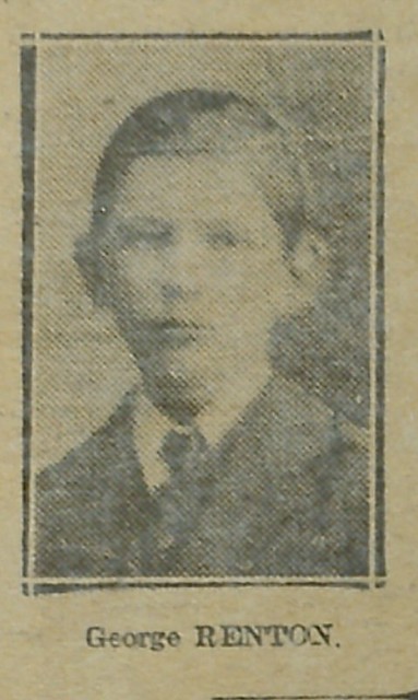
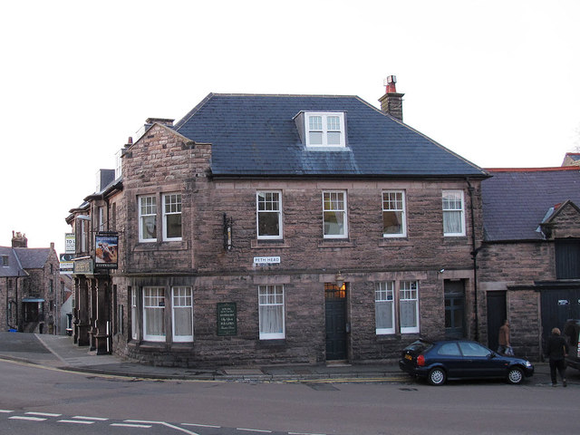
George Renton - Fundraiser - Path Head, Wooler
Pinned by Simon Cotterill

from Geograph (geograph)
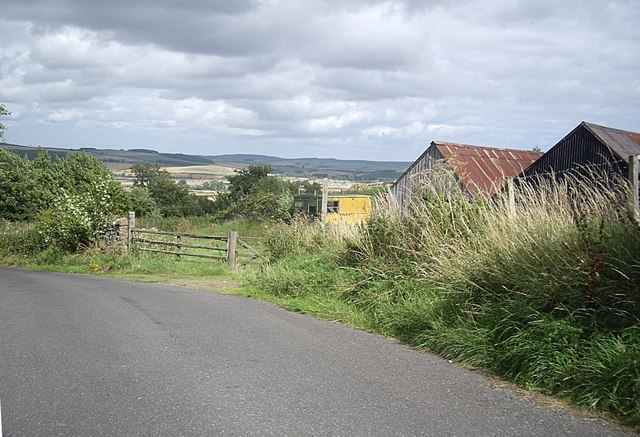
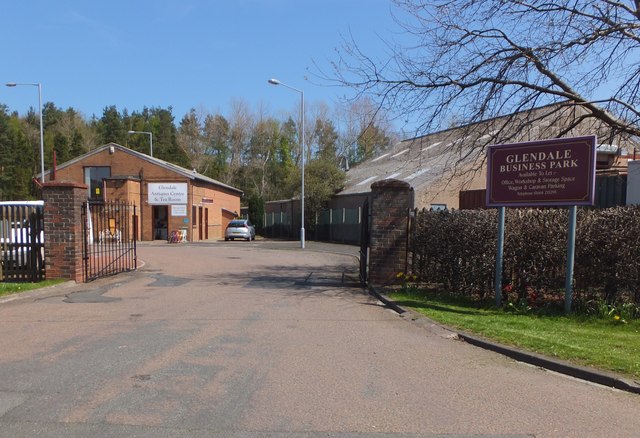
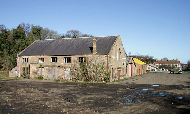
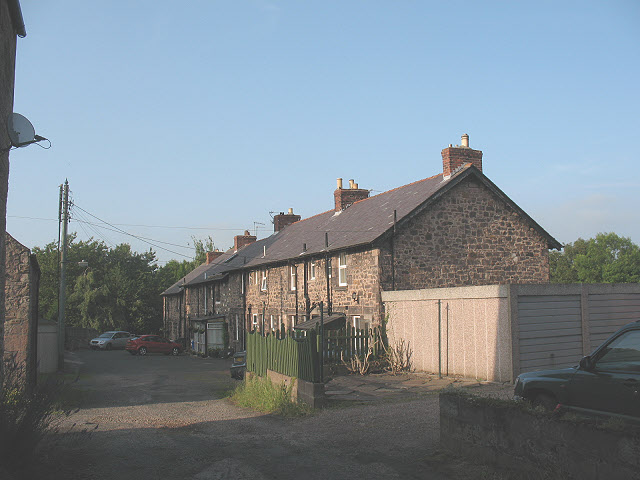
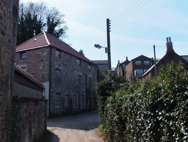
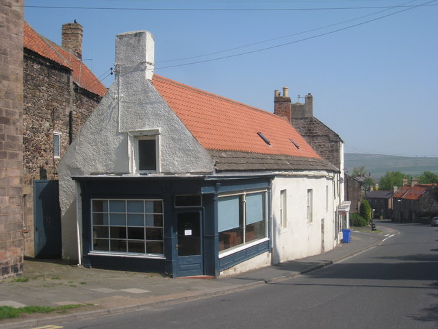
A disused storage and distribution depot at Wooler
Pinned by Simon Cotterill


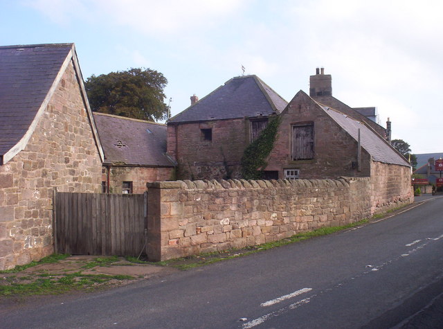

from Geograph (geograph)
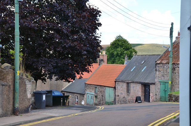
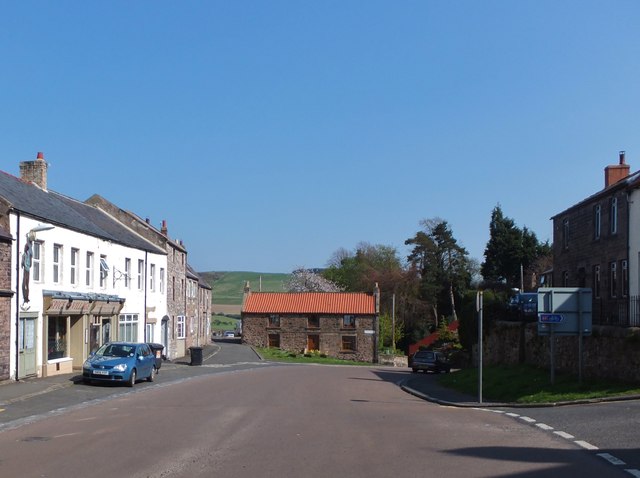
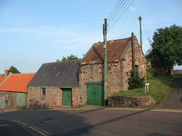
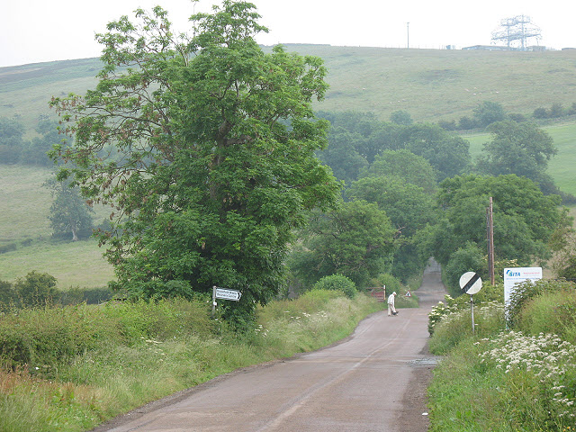
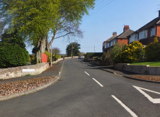
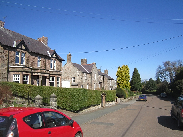
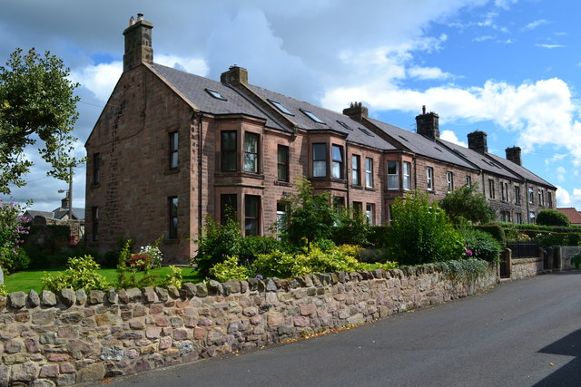
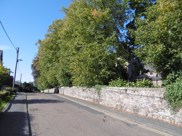
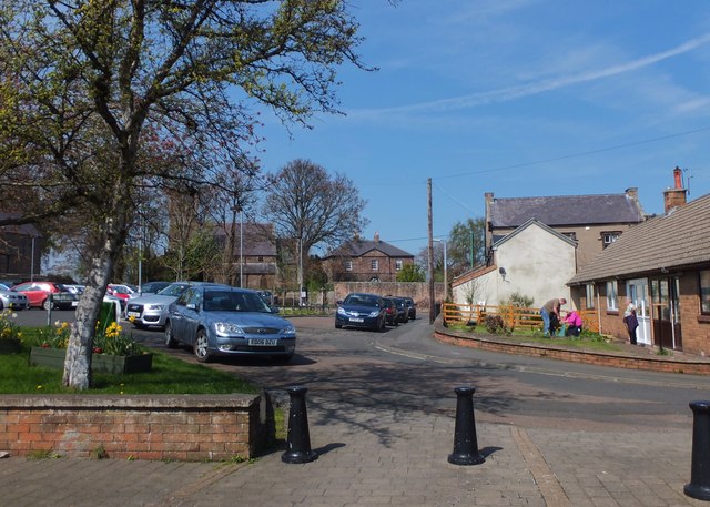
Approaching Wooler town centre along Burnhouse Road
Pinned by Simon Cotterill

Co-Curate Page
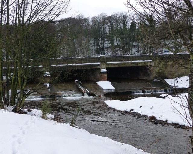
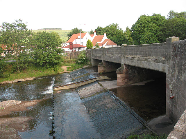
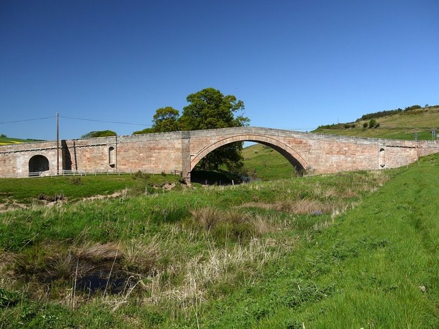
Weetwood Bridge, over River Till
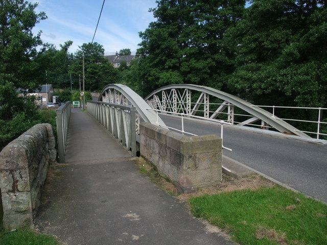
- Overview Map Street View Weetwood Bridge is a single span stone bridge over the River Till, located near Weetwood Hall, and about a mile and a half north-east of Wooler and …

from https://www.wooler.org.uk/gle…
Glendale Gateway Trust
- "The Glendale Gateway Trust is based at the Cheviot Centre, Wooler. It is an independent charitable, community development trust set up to support the community of Glendale – one of …
Added by
Simon Cotterill

from https://britainfromabove.org.…
EPW040660 ENGLAND (1932). The village and Wooler Water, Wooler, from the south-east, 1932
- Image c/o Britainfromabove.org.uk (Historic England) available under terms and conditions: https://britainfromabove.org.uk/en/legalities (Display Attribution [no cropping of watermark]. Include link to source page. No Commercial Use or Sale, No Sub-Licensing, no …
Added by
Peter Smith

Co-Curate Page
Historic Buildings and Monuments in Wooler Civil Parish
- Listed buildings and scheduled monuments in Wooler Civil Parish, Northumberland, from the National Heritage List for England[1]. In the absence of a published 'local list', some other public buildings of …

Co-Curate Page
Glendale Poor Law Union
- Poor Law Unions were set-up across the country, following the 1834 Poor Law Amendment Act (the 'New Poor Law'). Glendale Poor Law Union in Northumberland was formally created on the …

Co-Curate Page
Humbleton
- Overview Map Street View Humbleton is a small hamlet below Humbleton hill, located between Akeld and Wooler in Northumberland.
Co-Curate Page
Earle
- Overview About Earle Map Street View Earle is a small rural village and a civil parish in Northumberland close to the Cheviot hills. The village is 2 miles south of …
from IllustratedChronicles (flickr)
George Renton - Fundraiser - Path Head, Wooler
Pinned by Simon Cotterill
from Geograph (geograph)
A disused storage and distribution depot at Wooler
Pinned by Simon Cotterill
from Geograph (geograph)
Approaching Wooler town centre along Burnhouse Road
Pinned by Simon Cotterill
Co-Curate Page
Weetwood Bridge, over River Till
- Overview Map Street View Weetwood Bridge is a single span stone bridge over the River Till, located near Weetwood Hall, and about a mile and a half north-east of Wooler and …
from https://www.wooler.org.uk/gle…
Glendale Gateway Trust
- "The Glendale Gateway Trust is based at the Cheviot Centre, Wooler. It is an independent charitable, community development trust set up to support the community of Glendale – one of …
Added by
Simon Cotterill
from https://britainfromabove.org.…
EPW040660 ENGLAND (1932). The village and Wooler Water, Wooler, from the south-east, 1932
- Image c/o Britainfromabove.org.uk (Historic England) available under terms and conditions: https://britainfromabove.org.uk/en/legalities (Display Attribution [no cropping of watermark]. Include link to source page. No Commercial Use or Sale, No Sub-Licensing, no …
Added by
Peter Smith
Co-Curate Page
Historic Buildings and Monuments in Wooler Civil Parish
- Listed buildings and scheduled monuments in Wooler Civil Parish, Northumberland, from the National Heritage List for England[1]. In the absence of a published 'local list', some other public buildings of …
Co-Curate Page
Glendale Poor Law Union
- Poor Law Unions were set-up across the country, following the 1834 Poor Law Amendment Act (the 'New Poor Law'). Glendale Poor Law Union in Northumberland was formally created on the …

Northumberland
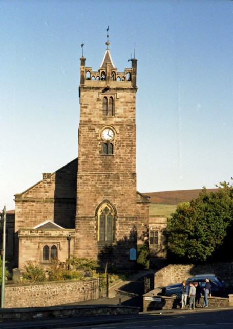
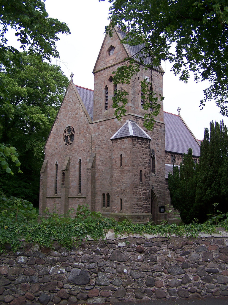
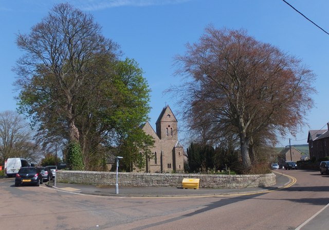
Church of St Mary, Wooler
Church of St Ninian, RC, Wooler
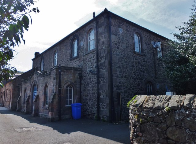
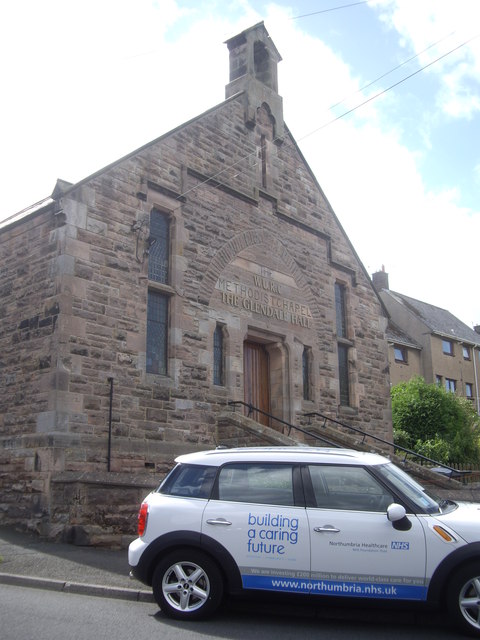
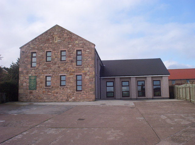
Former Masonic Hall, Wooler
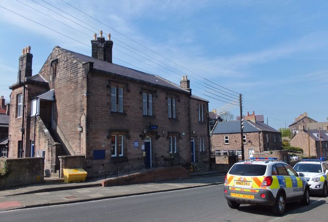
Former Police Station, Church Street, Wooler
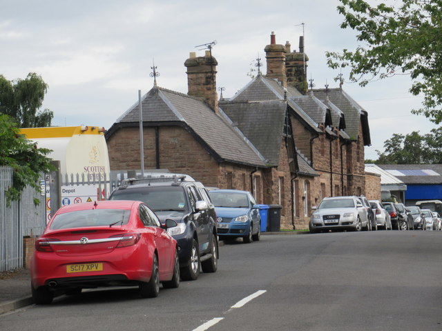
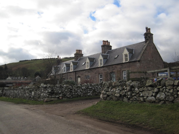
Former Railway Station, Wooler
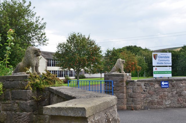
Glendale Community Middle School, Wooler
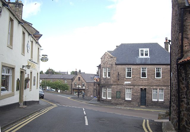
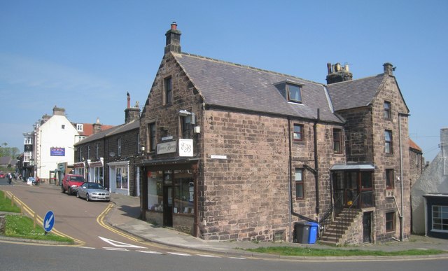
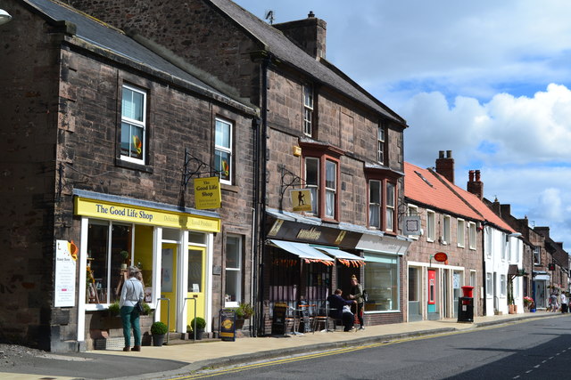
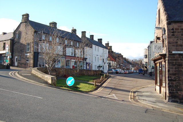
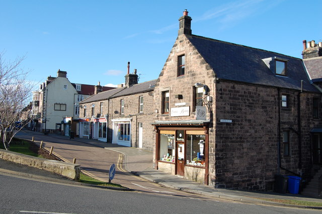
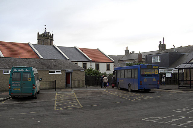
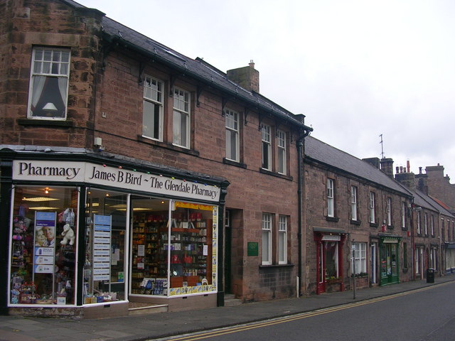
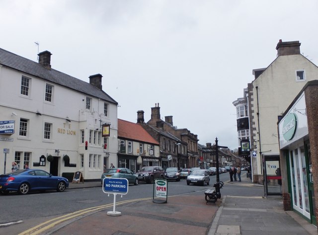
High Street, Wooler

Wooler Conservation Area

Wooler Parish, 1848

Map and Aerial View of Wooler
No. 5, Church Street, Wooler
No.1, High Street, Wooler
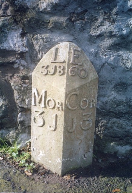
Old Milepost, South Road, Wooler
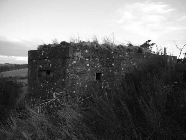
Pillboxes, Wooler Common
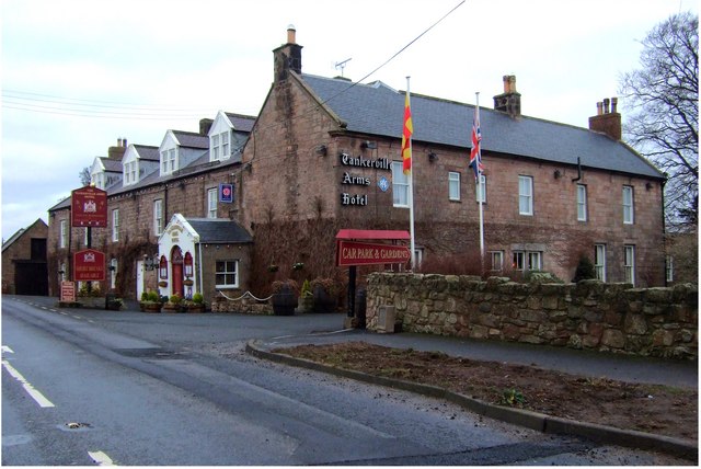
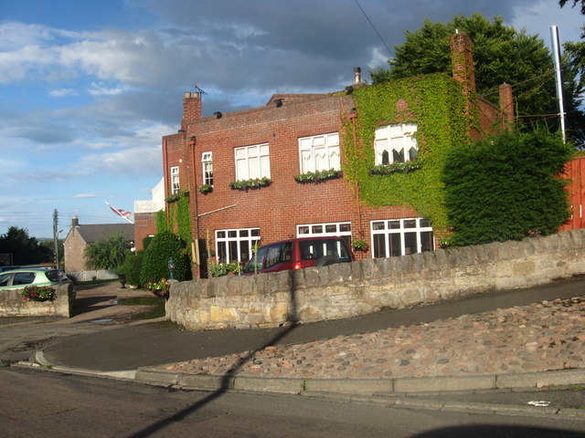
Tankerville Arms Hotel, Wooler
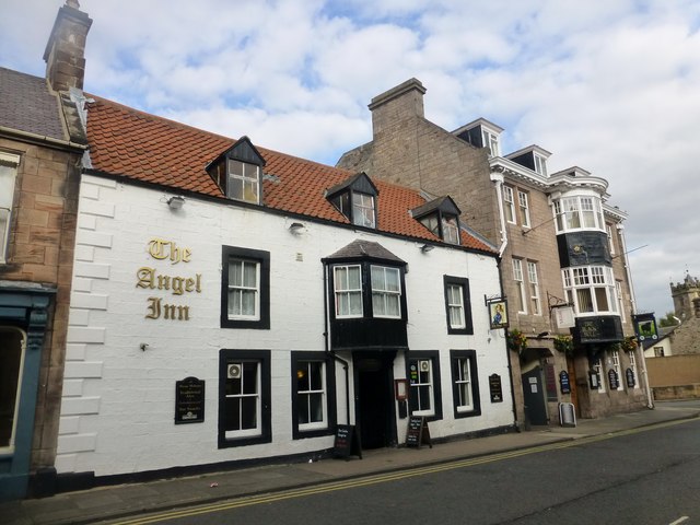
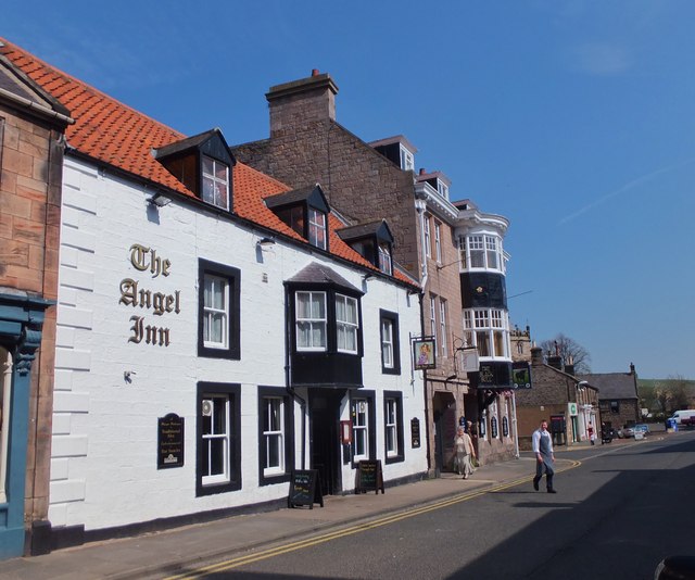
The Angel Inn, Wooler
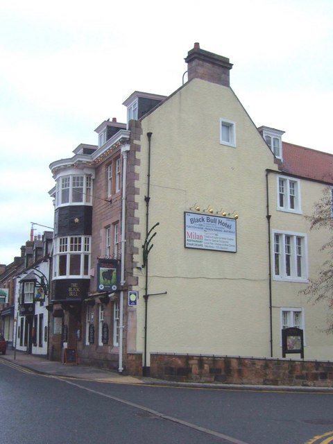
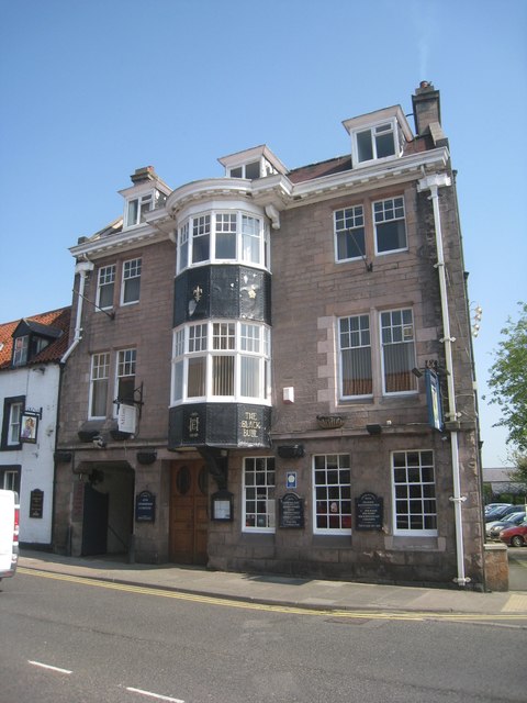
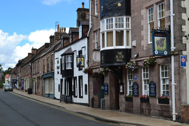
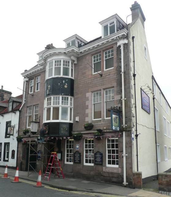
The Black Bull, Wooler
The Old Mill, Wooler
Tower Hill, Wooler
United Reformed Church, Wooler
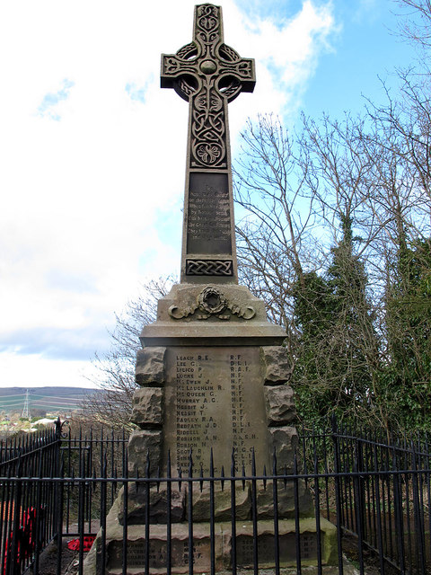
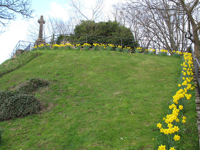
War Memorial, Wooler

Wooler at War
Wooler Prisoner of War Camp (Camp 105)
Wooler Youth Hostel