Topics > Northumberland > Civil Parishes in Northumberland > Whittingham, Callaly & Alnham Parish Council, area
Whittingham, Callaly & Alnham Parish Council, area
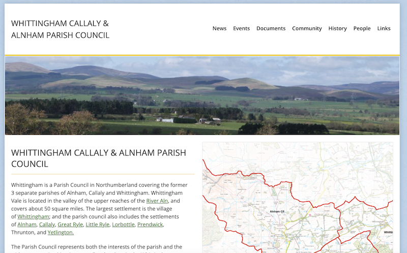
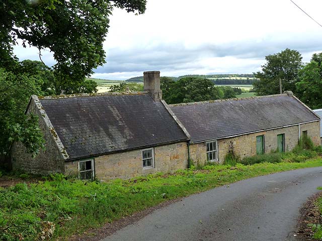
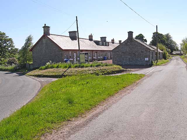
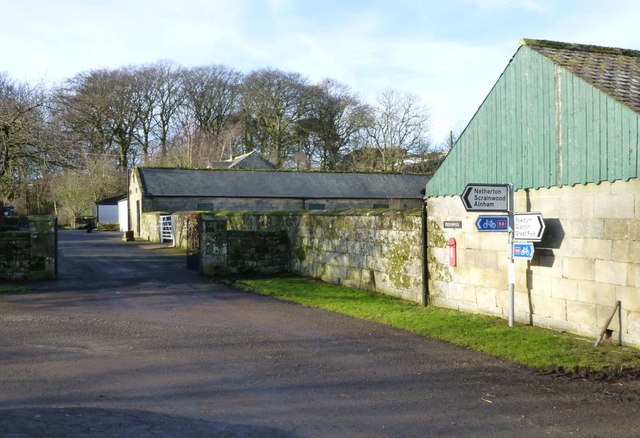
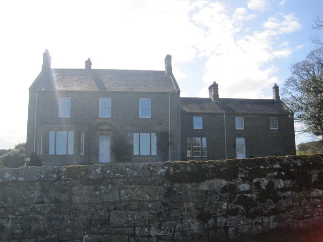
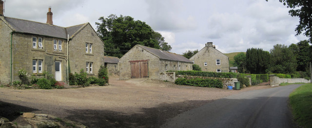
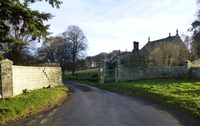
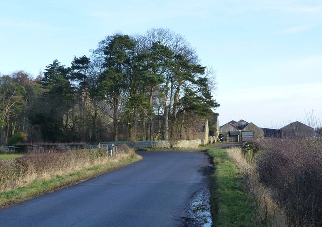
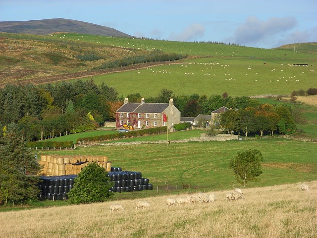
Whittingham, Callaly & Alnham Parish Council (formerly known as Whittingham Vale Parish Council) in Northumberland covers the 3 civil parishes of Alnham, Callaly and Whittingham. Whittingham Vale is located in the valley of the upper reaches of the River Aln, and covers about 50 square miles. The largest settlement is the village of Whittingham; and the parish council also includes the settlements of Alnham, Callaly, Great Ryle, Little Ryle, Lorbottle, Prendwick, Thrunton, and Yetlington. In the 2011 Census the population of Whittingham Parish was 525, Callaly Parish 235, and Alnham Parish was 245.
Whittingham Civil Parish
Callaly Civil Parish
Alnham Civil Parish
from https://northumberlandparishe…
Whittingham, Callaly & Alnham Parish Council
- "Covering the parishes of Alnham, Callaly and Whittingham...." Previously known as Whittingham Vale Parish Council
Added by
Simon Cotterill
Co-Curate Page
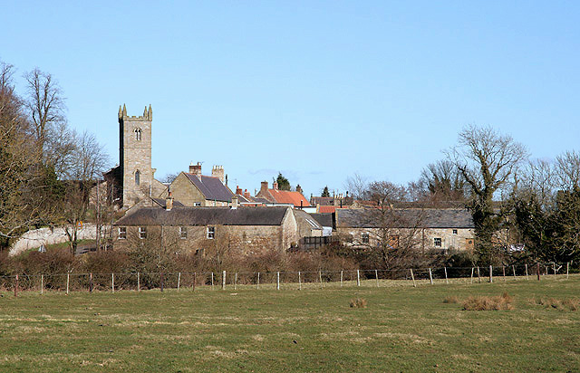
Whittingham
- Overview About Whittingham Map Street View Whittingham is a village and civil parish in Northumberland, England. It is situated on the banks of the River Aln, roughly 4.5 miles …
Co-Curate Page
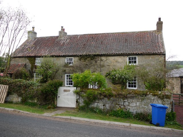
Alnham
- Overview About Map Street View Alnham is a hamlet in Northumberland, located near the source of the River Aln, about 14 miles west of Alnwick. Notably, in Alnham are the …
Co-Curate Page
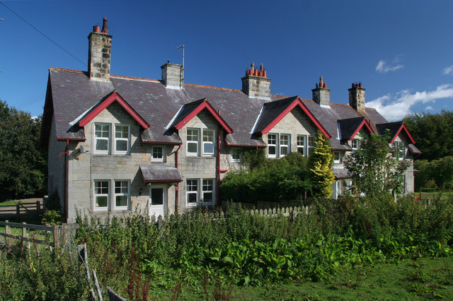
Callaly
- Overview About Callaly Map Street View Callaly is a village in Northumberland located by Callaly Burn; about 5 miles north of Rothbury and 9 miles west of Alnwick. Callaly is …
Co-Curate Page
Little Ryle
- Overview Map Street View Little Ryle is a hamlet in Northumberland, located by the River Aln, 11 miles west of Alnwick and 6 miles north of Rothbuy. Alnham is just …
Co-Curate Page
Lorbottle
- Overview Map Street View Lorbottle is a small settlement in Northumberland, located about 3 miles north-west of Rothbury near the old Roman road between the villages of Cartington and Callaly. It …
Co-Curate Page
Prendwick
- Overview Map Street View Prendwick is a hamlet by Prendwick Burn in Northumberland, located about 12 miles west of Alnwick and a mile north of Alnham. Some of the farm …
Co-Curate Page
Great Ryle
- Overview Map Street View Great Ryle is a hamlet by the Cheviots in Northumberland, located about 3 miles north-west of Whittingham and 1 mile north of Little Ryle. The settlement …
Co-Curate Page
Eslington Lowhill
- Overview Map Street View Eslington Lowhill is listed on contemporary OS maps, and located to the south-east of Eslington Park in Northumberland. A farm at Eslington Lowhill is included in …
Co-Curate Page
Scrainwood
- Overview Map Street View Scrainwood is a farm and hamlet in Northumberland, located just under a mile south-west of Alnham and a mile north of Netherton. Scrainwood Burn runs through the …

Co-Curate Page
Alnham Civil Parish
- Parish boundaries may have changed - for the latest map see the Parish Council or Northumberland County Council. About the Parish Settlements: Alnham, Great Ryle, Little Ryle, Prendwick, Scrainwood, Unthank …
Co-Curate Page
Callaly Civil Parish
- Parish boundaries may have changed - for the latest map see the Parish Council or Northumberland County Council. About the Parish Settlements: Callaly, High Houses, Lorbottle, Yetlington Population: 235 (2011 …
Co-Curate Page
Whittingham Civil Parish
- Parish boundaries may have changed - for the latest map see the Parish Council or Northumberland County Council. About the Parish Settlements: Whittingham, Thrunton Population: 509 (2021 Census) 525 (2011 …
Co-Curate Page
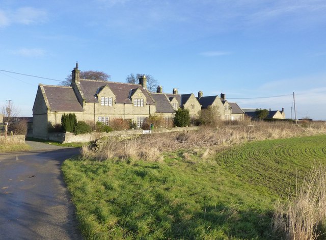
High Houses, Callaly
- Overview Map Street View High Houses is a hamlet located on the minor road between the Callaly and Yetlington, in Northumberland. There is a farm here and also cottages which …

from https://northumberlandparishe…
Whittingham, Callaly & Alnham Parish Council
- "Covering the parishes of Alnham, Callaly and Whittingham...." Previously known as Whittingham Vale Parish Council
Added by
Simon Cotterill
Co-Curate Page
Whittingham
- Overview About Whittingham Map Street View Whittingham is a village and civil parish in Northumberland, England. It is situated on the banks of the River Aln, roughly 4.5 miles …
Co-Curate Page
Alnham
- Overview About Map Street View Alnham is a hamlet in Northumberland, located near the source of the River Aln, about 14 miles west of Alnwick. Notably, in Alnham are the …
Co-Curate Page
Callaly
- Overview About Callaly Map Street View Callaly is a village in Northumberland located by Callaly Burn; about 5 miles north of Rothbury and 9 miles west of Alnwick. Callaly is …
Co-Curate Page
Little Ryle
- Overview Map Street View Little Ryle is a hamlet in Northumberland, located by the River Aln, 11 miles west of Alnwick and 6 miles north of Rothbuy. Alnham is just …
Co-Curate Page
Lorbottle
- Overview Map Street View Lorbottle is a small settlement in Northumberland, located about 3 miles north-west of Rothbury near the old Roman road between the villages of Cartington and Callaly. It …
Co-Curate Page
Prendwick
- Overview Map Street View Prendwick is a hamlet by Prendwick Burn in Northumberland, located about 12 miles west of Alnwick and a mile north of Alnham. Some of the farm …
Co-Curate Page
Great Ryle
- Overview Map Street View Great Ryle is a hamlet by the Cheviots in Northumberland, located about 3 miles north-west of Whittingham and 1 mile north of Little Ryle. The settlement …
Co-Curate Page
Eslington Lowhill
- Overview Map Street View Eslington Lowhill is listed on contemporary OS maps, and located to the south-east of Eslington Park in Northumberland. A farm at Eslington Lowhill is included in …
Co-Curate Page
Scrainwood
- Overview Map Street View Scrainwood is a farm and hamlet in Northumberland, located just under a mile south-west of Alnham and a mile north of Netherton. Scrainwood Burn runs through the …
Co-Curate Page
Alnham Civil Parish
- Parish boundaries may have changed - for the latest map see the Parish Council or Northumberland County Council. About the Parish Settlements: Alnham, Great Ryle, Little Ryle, Prendwick, Scrainwood, Unthank …
Co-Curate Page
Callaly Civil Parish
- Parish boundaries may have changed - for the latest map see the Parish Council or Northumberland County Council. About the Parish Settlements: Callaly, High Houses, Lorbottle, Yetlington Population: 235 (2011 …
Co-Curate Page
Whittingham Civil Parish
- Parish boundaries may have changed - for the latest map see the Parish Council or Northumberland County Council. About the Parish Settlements: Whittingham, Thrunton Population: 509 (2021 Census) 525 (2011 …


