Topics > Northumberland > Eslington Lowhill

Eslington Lowhill


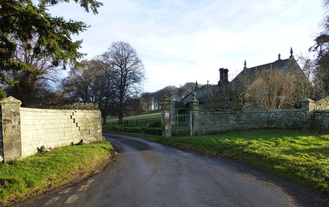
Eslington Lowhill is listed on contemporary OS maps, and located to the south-east of Eslington Park in Northumberland. A farm at Eslington Lowhill is included in the Farms Index for 1860, produced by Northumberland Archives.

Northumberland Whittingham Vale Civil Parish Eslington Park
from Geograph (geograph)
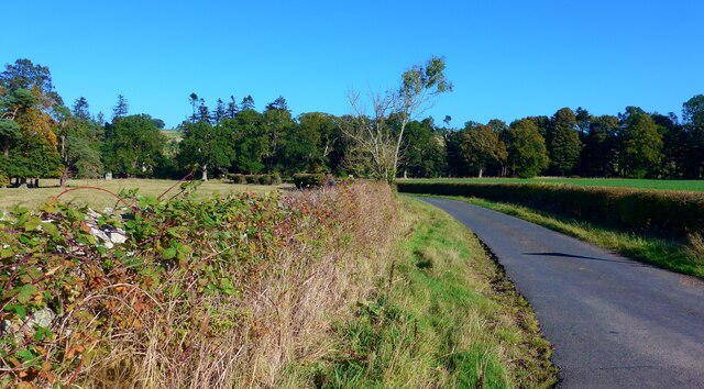
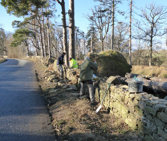
Country road towards Eslington Lowhill - and thence to Eslington Highhill

Pinned by Simon Cotterill
from Geograph (geograph)
Dry-stone wallers

Pinned by Simon Cotterill

Comments

Add a comment or share a memory.

Login to add a comment. Sign-up if you don't already have an account.


ABOUT US

Co-Curate is a project which brings together online collections, museums, universities, schools and community groups to make and re-make stories and images from North East England and Cumbria. Co-Curate is a trans-disciplinary project that will open up 'official' museum and 'un-officia'l co-created community-based collections and archives through innovative collaborative approaches using social media and open archives/data.

LATEST SHARED RESOURCES