Topics > Northumberland > Berwick upon Tweed > Tweedmouth
Tweedmouth
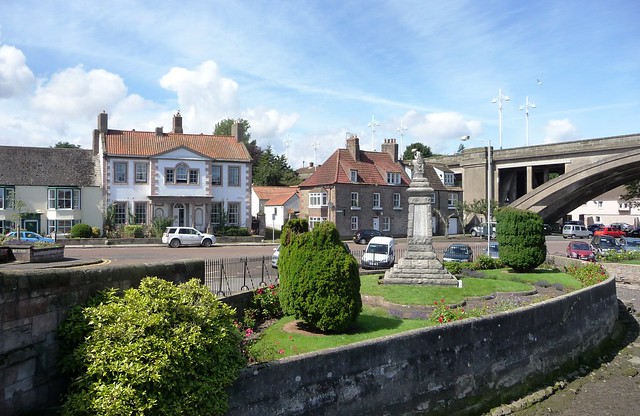
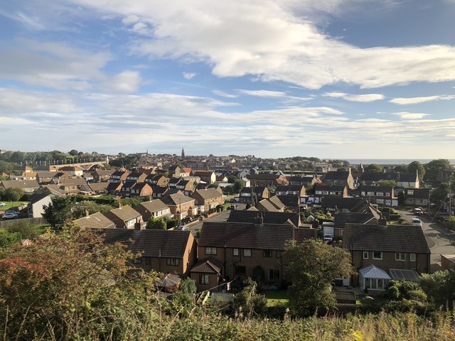
Tweedmouth is part of the town of Berwick-upon-Tweed in Northumberland, England. It is located on the south bank of the River Tweed and is connected to Berwick town centre, on the north bank, by two road bridges and a railway bridge. Tweedmouth has historically always been part of England, in contrast to the walled town of Berwick which came under Scottish control for several periods in the Middle Ages. The local nickname for people from Tweedmouth is "Twempies".
Governance
Tweedmouth is part of Berwick-upon-Tweed Town Council, which also includes neighbouring Spittal. It is in the parliamentary constituency of Berwick-upon-Tweed. The unitary authority for the area is Northumberland County Council. It was historically part of the parish of Islandshire, which was an exclave of County Durham, before becoming a hundred of Northumberland in 1844.
Attractions
In an annual ceremony dating back to 1292, Tweedmouth schools elect a Salmon Queen to mark the start of Salmon Week, a traditional celebration which dates to medieval times. The event is a reminder that Tweedmouth has a long history as a centre for salmon fishing on the river. There is a procession from Berwick town hall across the Old Bridge to Tweedmouth where the incoming Salmon Queen is crowned.
The parish church of St Bartholomew dates to the late 18th century. It stands on the site of an earlier church built in 1145, which was in turn on the site of an earlier 7th century church. The church's weather-vane is in the form of a salmon.
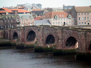
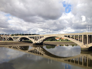
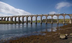
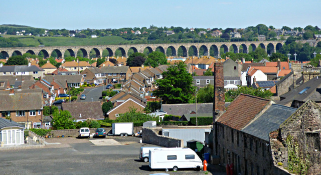
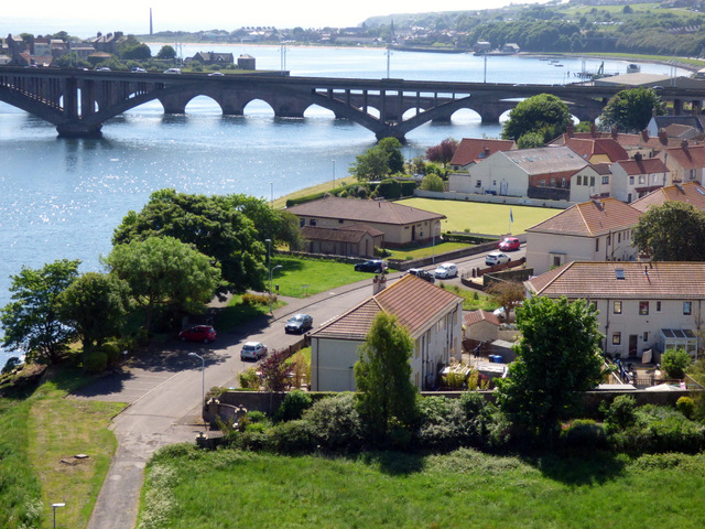
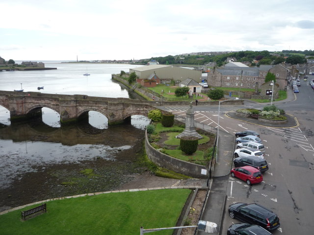
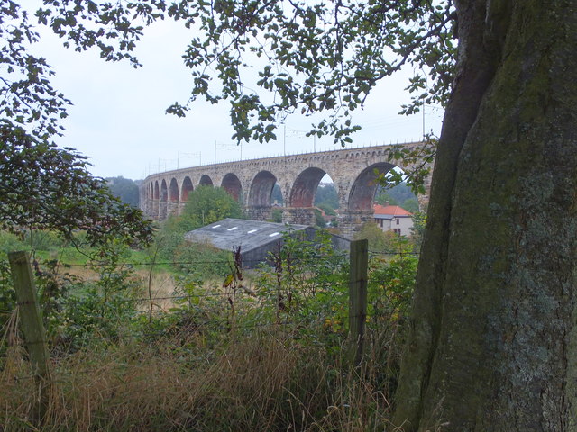
The most obvious historic landmark is the 15-arched Old Bridge, built of local sandstone in 1610. The bridge was built by order of James VI and I, and formed part of the Great North Road between London and Edinburgh. The Old Bridge still carries traffic across the River Tweed. The Royal Tweed Bridge and Royal Border Railway Bridge also span the river at Tweedmouth, the latter being opened by Queen Victoria in 1850.
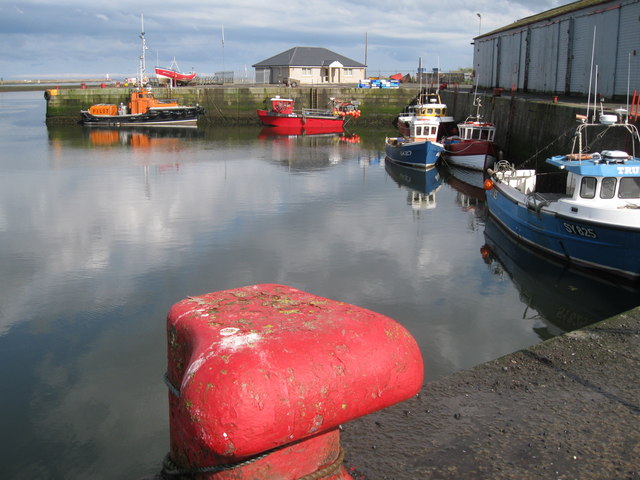
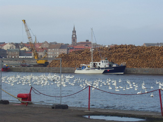
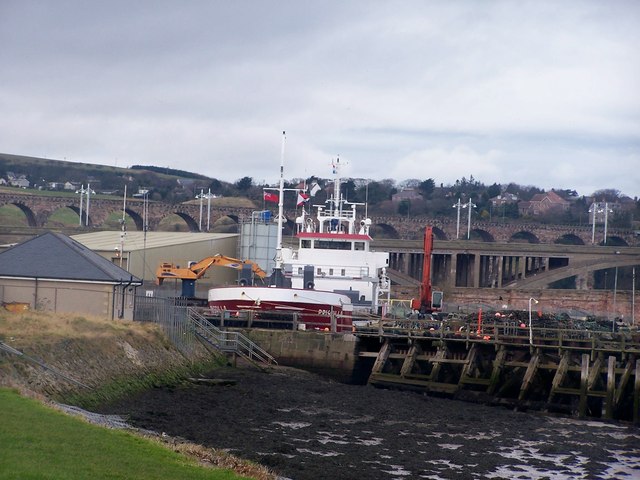
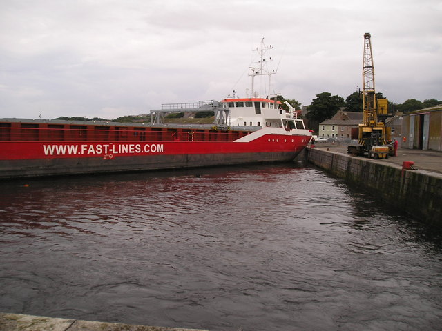
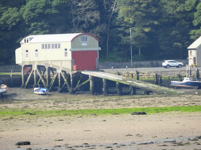
The Tweed Dock
The Tweed Dock officially opened in October 1876, replacing the older port on the north bank of the river which had become inadequate. Following improvement works in 1993 vessels with a maximum beam of 16 metres are now able to enter the dock. Due to its geographical location the port primarily handles cargoes linked to the agricultural industry, with fertilisers, malting barley, feed barley and oilseed rape the principal commodities.
Sport and Recreation
Berwick Rangers football club plays at Shielfield Park in Tweedmouth. The stadium also hosts motorcycle speedway, in the form of Berwick Bandits. The neighbouring ground of Old Shielfield Park is home to Tweedmouth Rangers F.C., who play in the East of Scotland Football League. The Swan Leisure Centre is a multi-purpose leisure facility with a swimming pool, gym, sports hall and all-weather outdoor pitch.
Visit the page: Tweedmouth for references and further details. You can contribute to this article on Wikipedia.
from Flickr (flickr)
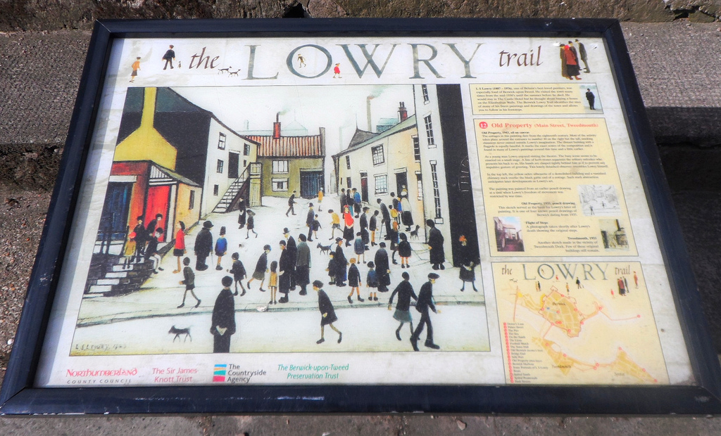
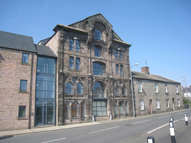
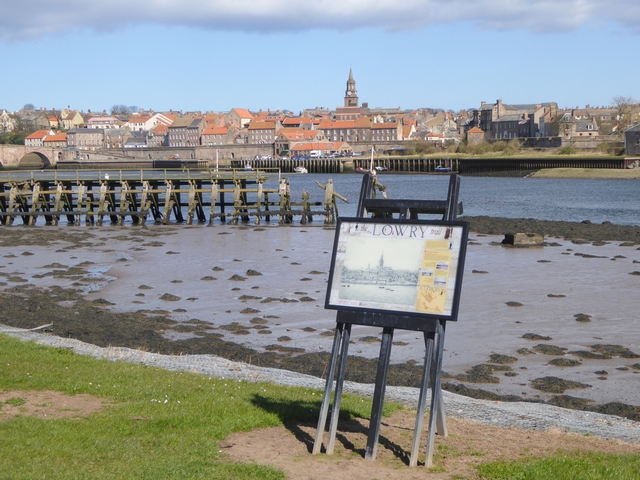
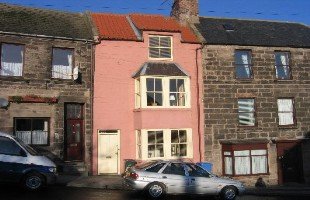
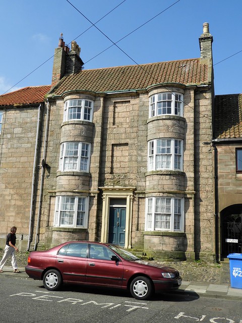
Old Property (Main Street Tweedmouth) on the Lowry Trail in Berwick upon Tweed
Pinned by Simon Cotterill
from http://www.gatehouse-gazettee…
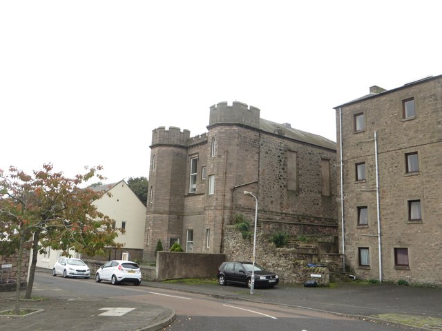
TWEEDMOUTH CASTLE
- "....Approximate site of castle started in 1203 by Philip of Poitiers, Bishop of Durham and continued by King John. Twice attacked during it's building by the Scots and razed to …
Added by
Pat Thomson
from Geograph (geograph)
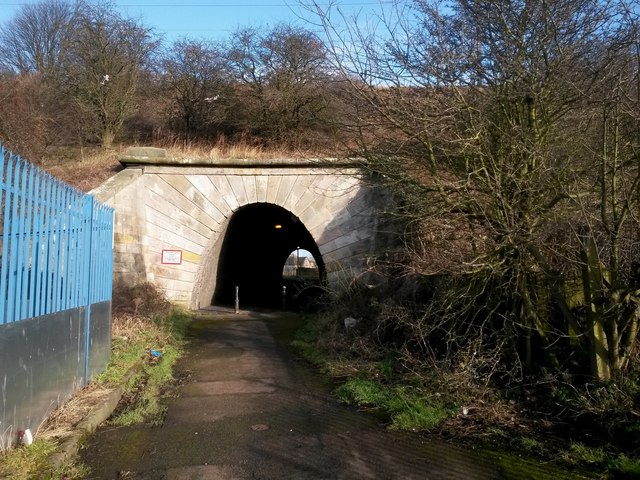
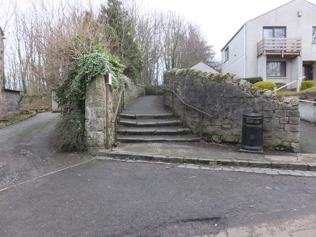
Pedestrian underpass under the railway, Tweedmouth
Pinned by Simon Cotterill
from Geograph (geograph)
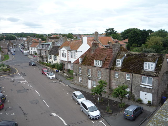
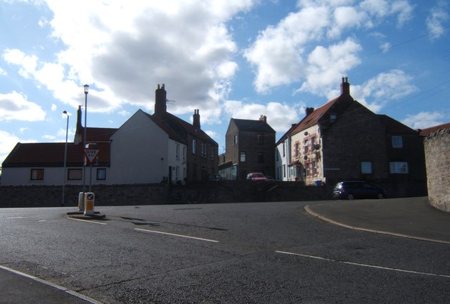
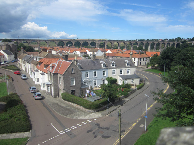
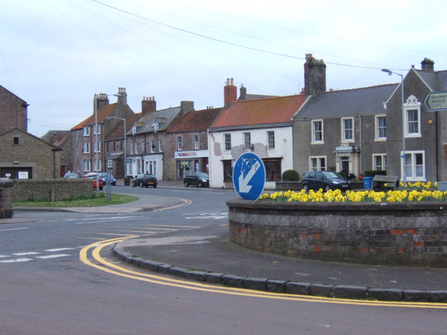
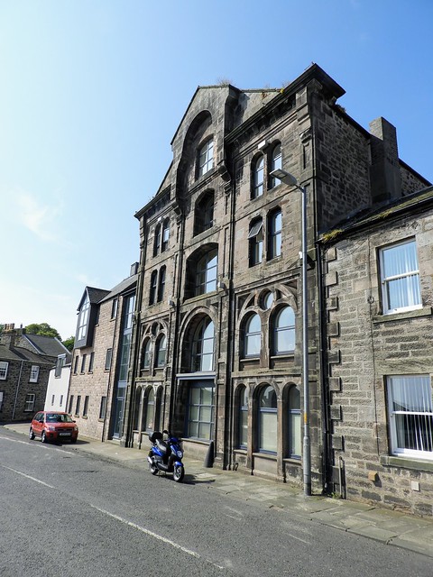
Looking into Tweedmouth from the Royal Tweed Bridge
Pinned by Simon Cotterill
from Geograph (geograph)
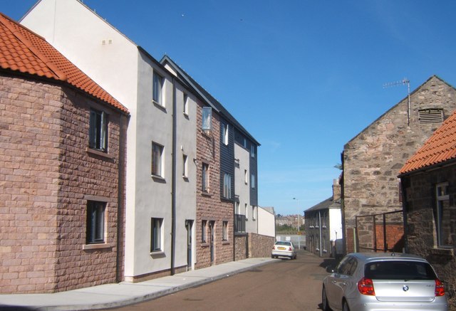
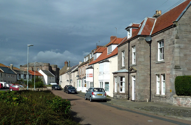
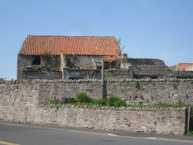
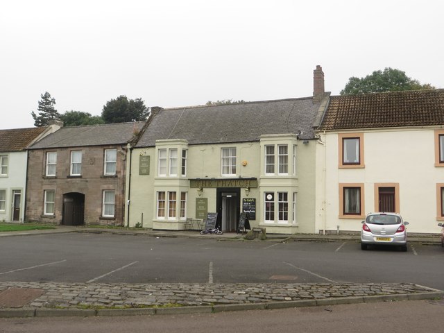
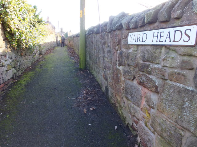
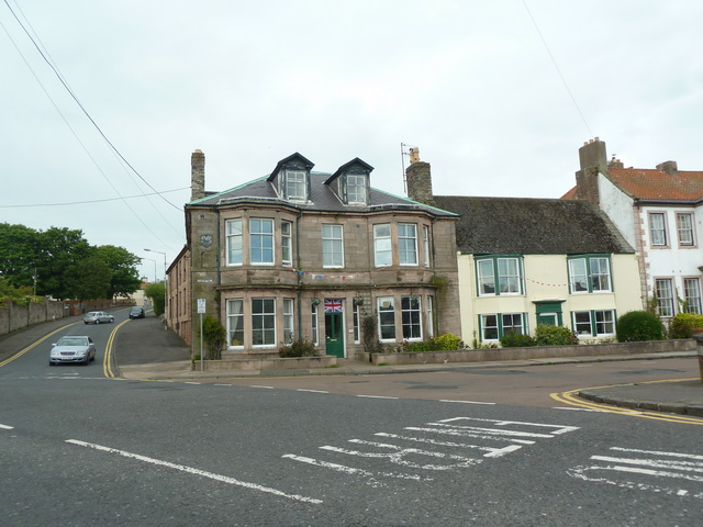
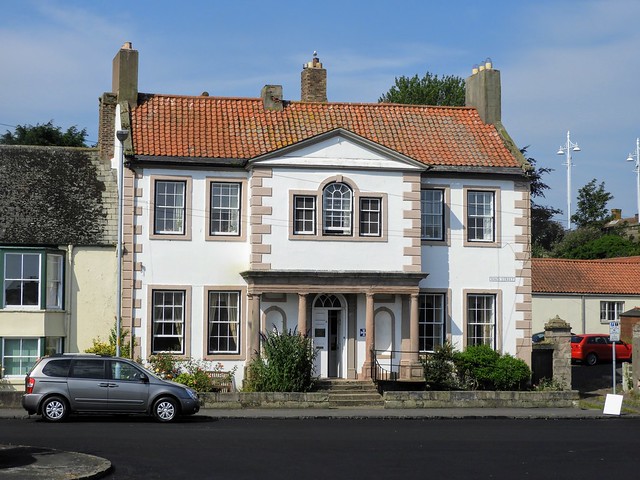
House on the corner of Main Street and Union Brae, Tweedmouth
Pinned by Simon Cotterill
from Geograph (geograph)
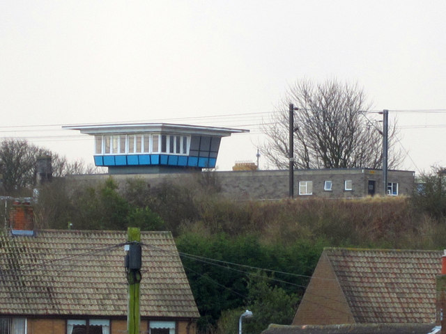
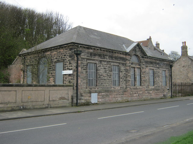
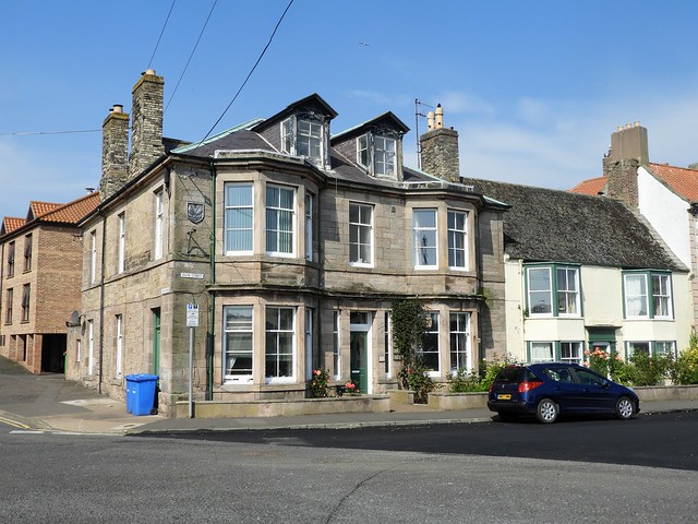
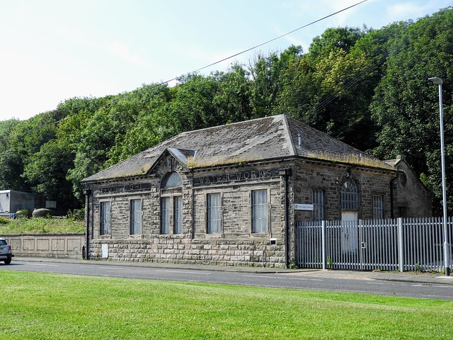
Former Borough Water Works building in Tweedmouth
Pinned by Simon Cotterill

Co-Curate Page
Tweedmouth Chapelry, 1855
- Extract from: History, Topography, and Directory of Northumberland...Whellan, William, & Co, 1855. TWEEDMOUTH PAROCHIAL CHAPELRY TWEEDMOUTH, a parochial chapelry, situated at the northern extremity of Islandshire, comprises the townships …

from Flickr (flickr)
Old Property (Main Street Tweedmouth) on the Lowry Trail in Berwick upon Tweed
Pinned by Simon Cotterill
from http://www.gatehouse-gazettee…
TWEEDMOUTH CASTLE
- "....Approximate site of castle started in 1203 by Philip of Poitiers, Bishop of Durham and continued by King John. Twice attacked during it's building by the Scots and razed to …
Added by
Pat Thomson
from Geograph (geograph)
Pedestrian underpass under the railway, Tweedmouth
Pinned by Simon Cotterill
from Geograph (geograph)
Looking into Tweedmouth from the Royal Tweed Bridge
Pinned by Simon Cotterill
from Geograph (geograph)
House on the corner of Main Street and Union Brae, Tweedmouth
Pinned by Simon Cotterill
from Geograph (geograph)
Former Borough Water Works building in Tweedmouth
Pinned by Simon Cotterill
Co-Curate Page
Tweedmouth Chapelry, 1855
- Extract from: History, Topography, and Directory of Northumberland...Whellan, William, & Co, 1855. TWEEDMOUTH PAROCHIAL CHAPELRY TWEEDMOUTH, a parochial chapelry, situated at the northern extremity of Islandshire, comprises the townships …

Northumberland
Berwick upon Tweed
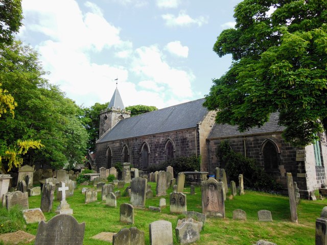
Church of St Bartholomew and St Boisil, Tweedmouth
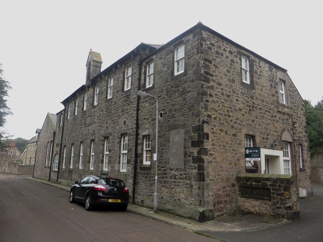
Former Mount Road School, Tweedmouth

Springhill Camp
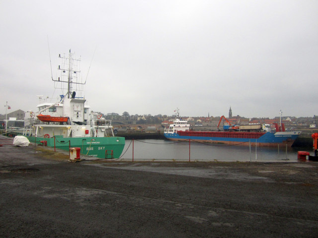
Tweed Dock

Tweedmouth at War
Tweedmouth Bowling Club
Tweedmouth Chapelry, 1855

Tweedmouth Conservation Area

Tweedmouth Parish, 1848
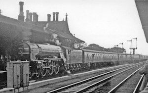
Tweedmouth Station
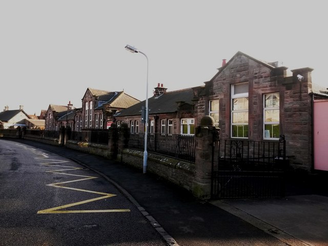
Tweedmouth West First School
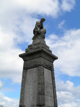
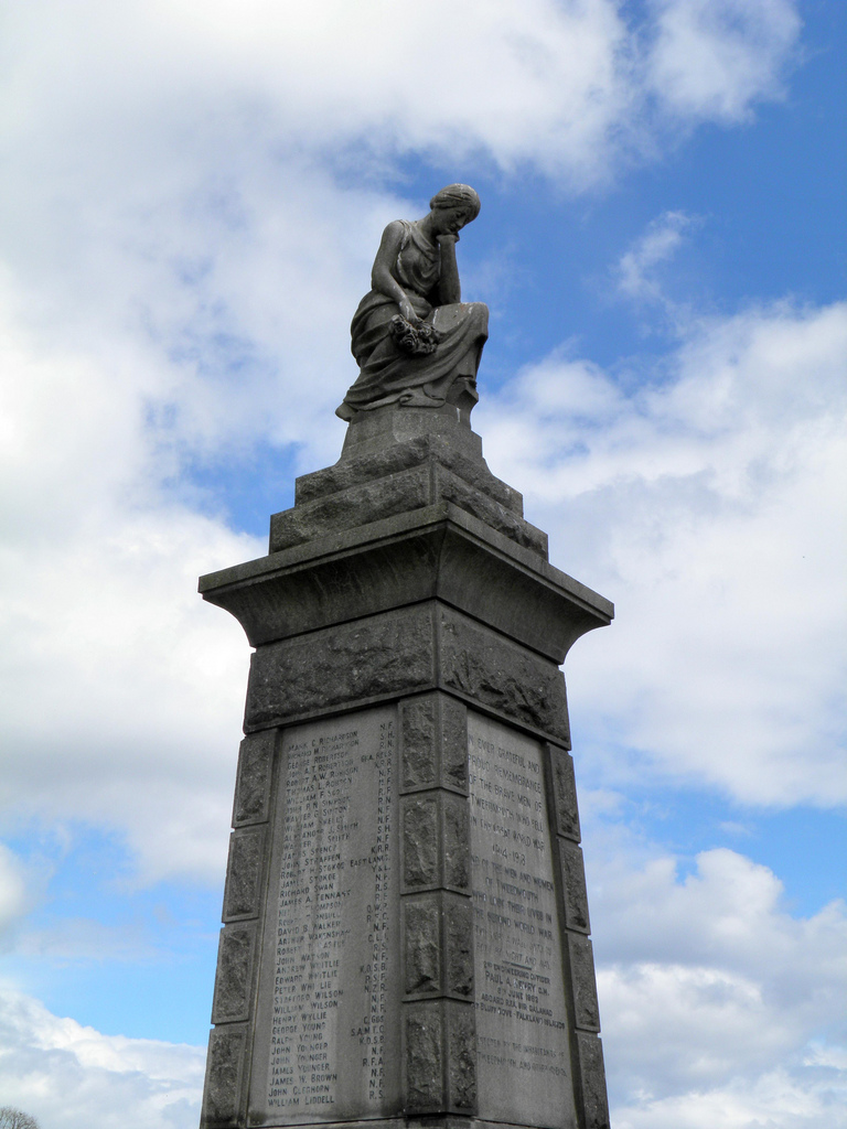
War Memorial, Tweedmouth