Topics > Geography > Rivers > River Tweed
River Tweed
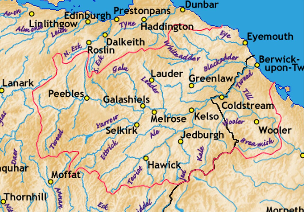
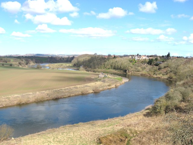
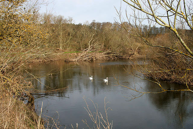
The River Tweed is a major river which flows east through the Scottish Borders and into Northumberland, discharging into the North Sea at Berwick-upon-Tweed. From a point east of Carham, to about 1½ miles north-east of Horncliffe, the river forms the boarder between England and Scotland. The Tweed is about 97 miles long, known for its scenic pastoral valleys, salmon fishing, historic wool mills and tweed cloth. Some of the historic bridges over the Tweed include Coldstream Bridge (1766), the Union Chain Bridge (1820), Ladykirk Bridge (1887), Berwick Old Bridge (1634), Royal Border Bridge (1850), and Royal Tweed Bridge (1928).
The River Tweed, or Tweed Water (Abhainn Thuaidh, Watter o Tweid), is a river long that flows east across the Border region in Scotland and northern England. Tweed (cloth) derives its name from its association with the River Tweed. The Tweed is one of the great salmon rivers of Britain and the only river in England where an Environment Agency rod licence is not required for angling. Tweed is a British name of uncertain meaning.
Course
It flows primarily through the scenic Borders region of Scotland, and eastwards from the settlements on opposing banks of Birgham and Carham forms the historic boundary between Scotland and England. It rises in the Lowther Hills at Tweed's Well near where the Clyde, draining northwest, and the Annan draining south also rise. "Annan, Tweed and Clyde rise oot the ae hillside" is a saying from the Border region. East of Kelso, it becomes a section of the eastern part of the border. Entering England, its lower reaches are in Northumberland, where it enters the North Sea at Berwick-upon-Tweed.
Catchment
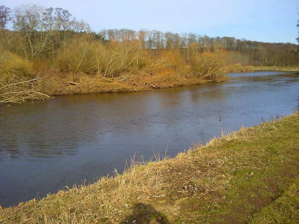
The river's valley floor is a drumlin field and the relic of a paleo-ice stream that flowed through the area during the last glaciation. Major towns through which the Tweed flows include Innerleithen, Peebles, Galashiels, Melrose, Kelso, Coldstream and Berwick-upon-Tweed, where it flows into the North Sea. Tweed tributaries include:
- Whiteadder Water
- Blackadder Water
- River Till
- Eden Water
- Teviot Water
- Leader Water
- Gala Water
- Leithen Water
- Quair Water
- Eddleston Water
- Manor Water
- Lyne Water
- Holms Water
Visit the page: River Tweed for references and further details. You can contribute to this article on Wikipedia.
Co-Curate Page
Berwick upon Tweed
- Overview About History Map Street View The northernmost town in England, on the East coast at the mouth of the River Tweed. Early history In the post-Roman period, the area …
Co-Curate Page
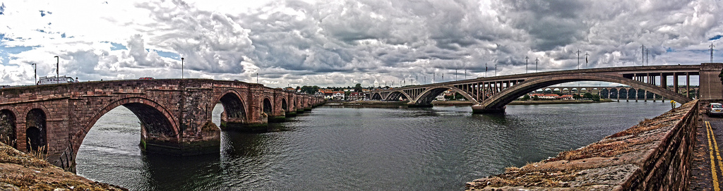
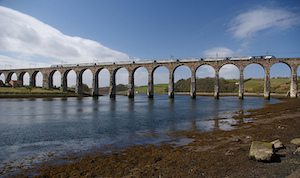
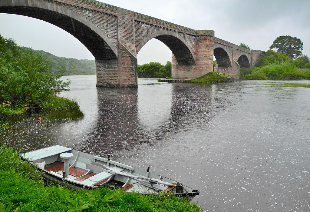
Royal Border Bridge
- Railway bridge across the River Tweed designed by Robert Stephenson and built between 1847 and 1850, at its height the workforce numbered 2,700 men. The bridge was officially opened by …
from https://commons.wikimedia.org…
Tributaries of the River Tweed catchment
- Image by Notuncurious available on a Creative Commons Attribution-Share Alike 3.0 Unported license.
Added by
Simon Cotterill
Co-Curate Page
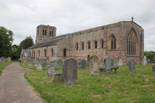
Norham
- Overview About Norham Map Street View Norham is a village in Northumberland, which is located just south of the River Tweed near the border with Scotland. It is the site …
Co-Curate Page
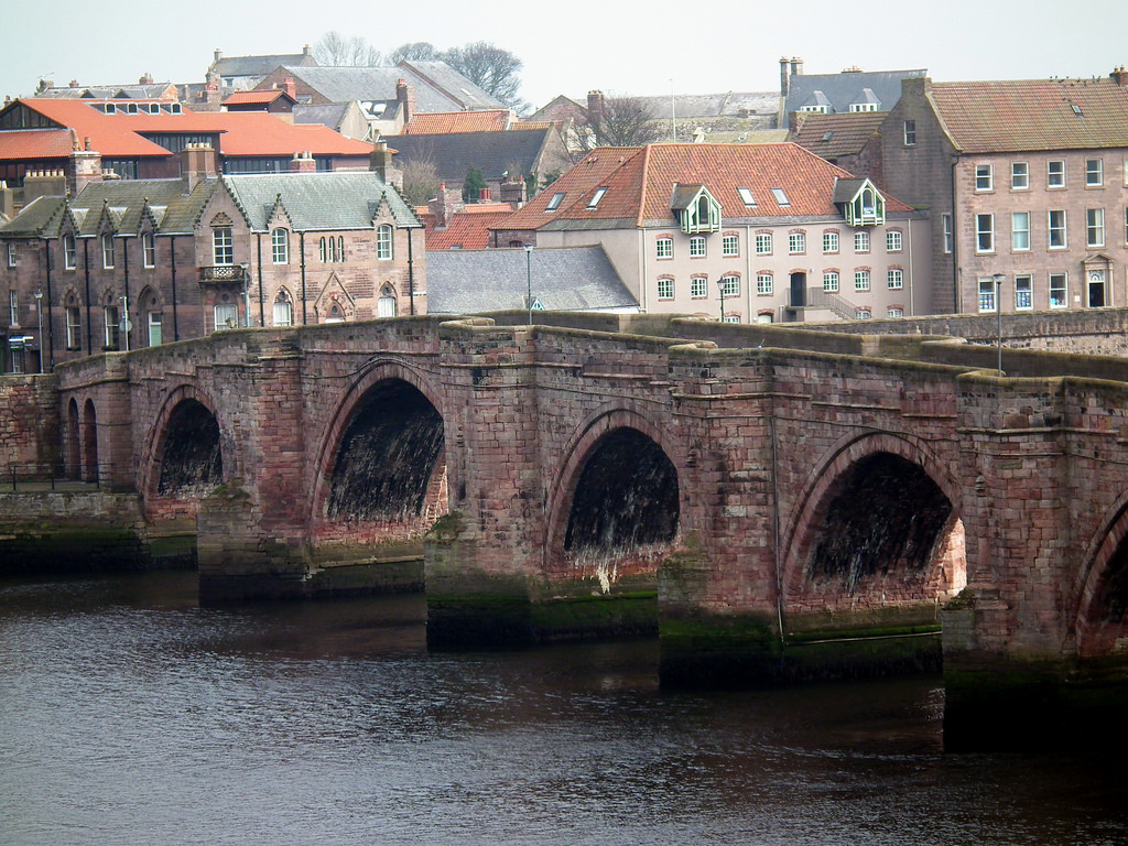
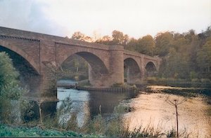
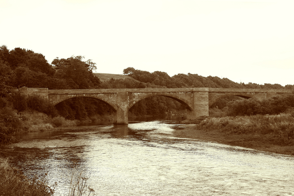
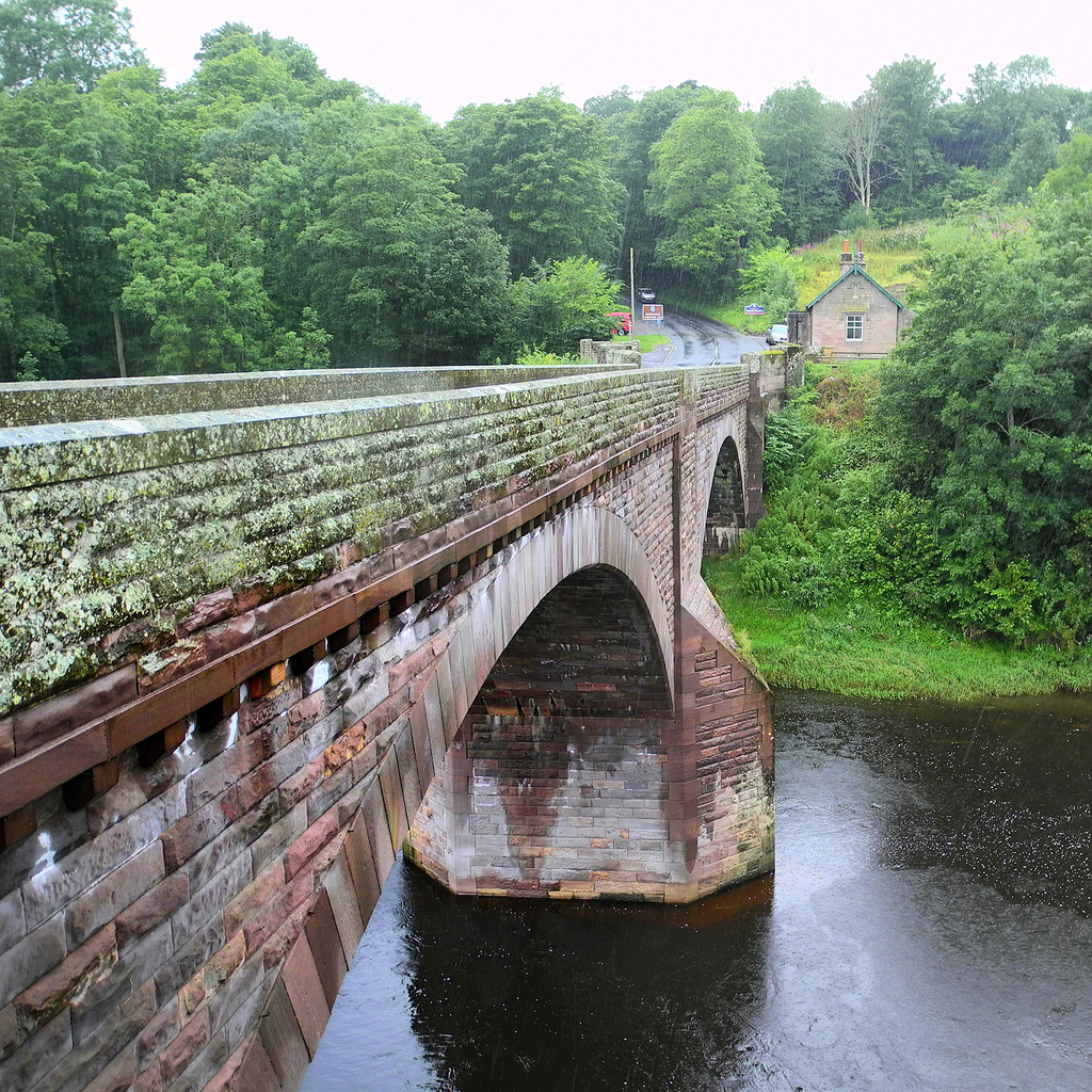
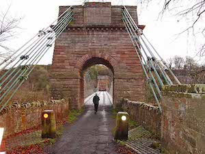
Ladykirk and Norham Bridge
- Overview About Ladykirk and Norham Bridge Map Street View Ladykirk and Norham Bridge is a stone arched bridge crossing the River Tweed, connecting Norham in Northumberland, England, with Ladykirk in …
Co-Curate Page
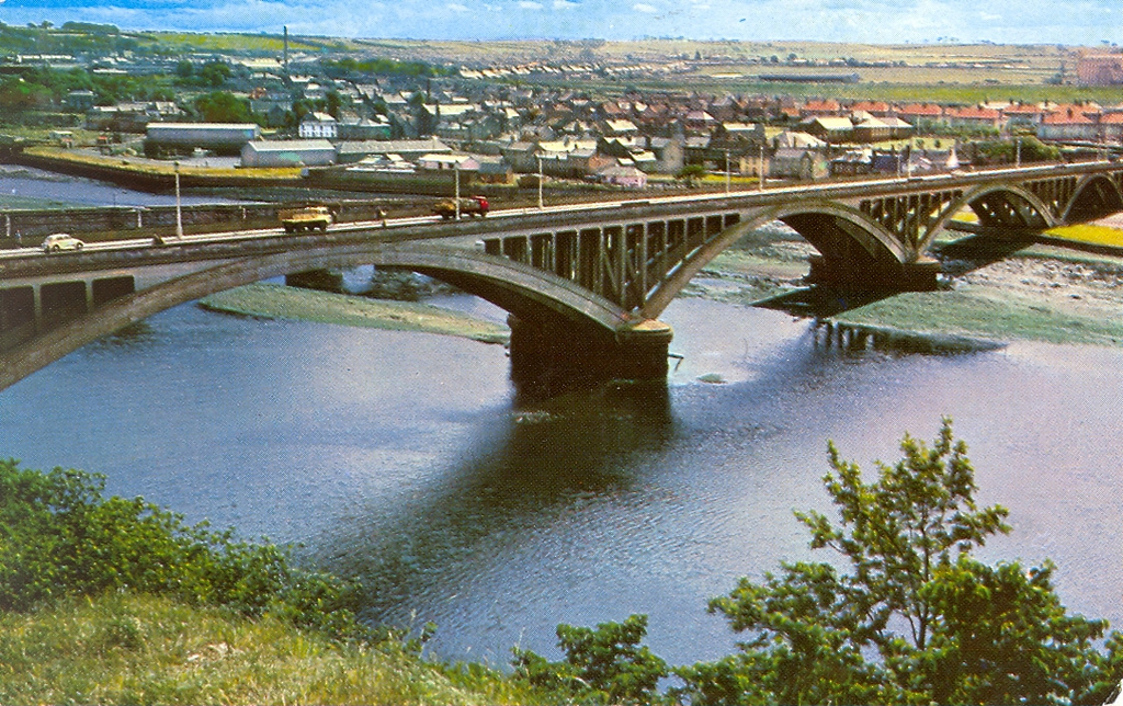
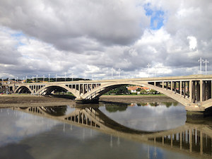
Royal Tweed Bridge
- Overview History and Design Map Street View The Royal Tweed Bridge in Berwick-upon-Tweed was officially opened by the Prince of Wales on 16th May 1928. Grade II* listed on the …
Co-Curate Page
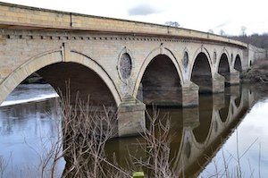
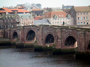
Coldstream Bridge
- Overview About Coldstream Bridge Map Street View Coldstream Bridge, linking Coldstream, Scottish Borders with Cornhill-on-Tweed, Northumberland, is an 18th-century Grade II* listed bridge between England and Scotland, across the …

Co-Curate Page
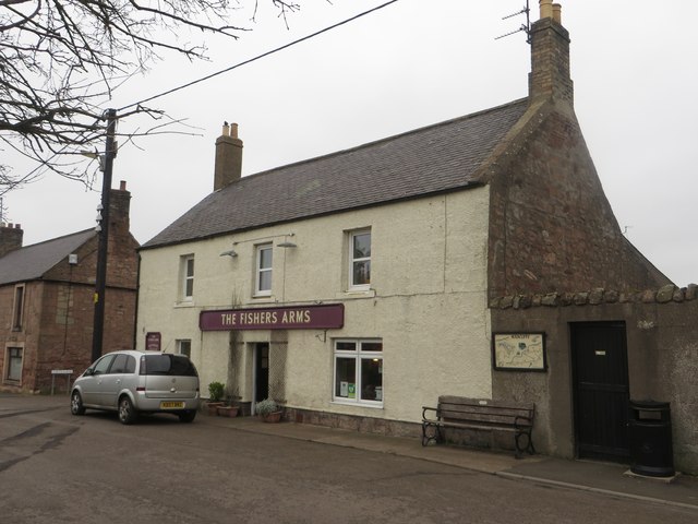
Carham
- Overview About Carham Map Street View Carham or Carham On Tweed is a village in Northumberland, England. The village lies on the south side of the River Tweed about …
Co-Curate Page
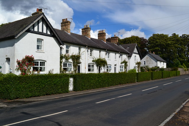
Horncliffe
- Overview Map Street View Horncliffe in Northumberland is the most northerly village in England. It is situated on the south bank of the River Tweed, which forms the border with …
Co-Curate Page
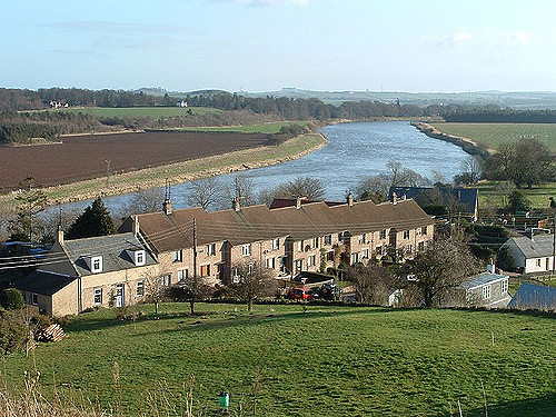
Tweedmouth
- Overview About Tweedmouth History Map Street View Tweedmouth is part of the town of Berwick-upon-Tweed, located on the south bank of the River Tweed, near the mouth of the river. …
Co-Curate Page
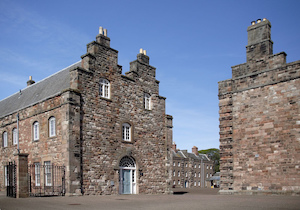
Cornhill Castle (remains of medieval tower house)
- Map showing Cornhill-on-Tweed, with Cornhill Castle and Scheduled Monument area to the north. Cornhill Castle, located about ¾mile NNW of Cornhill-on-Tweed in Northumberland, was a medieval tower house and barmkin …

Co-Curate Page
Berwick upon Tweed
- Overview About History Map Street View The northernmost town in England, on the East coast at the mouth of the River Tweed. Early history In the post-Roman period, the area …
Co-Curate Page
Royal Border Bridge
- Railway bridge across the River Tweed designed by Robert Stephenson and built between 1847 and 1850, at its height the workforce numbered 2,700 men. The bridge was officially opened by …
from https://commons.wikimedia.org…
Tributaries of the River Tweed catchment
- Image by Notuncurious available on a Creative Commons Attribution-Share Alike 3.0 Unported license.
Added by
Simon Cotterill
Co-Curate Page
Norham
- Overview About Norham Map Street View Norham is a village in Northumberland, which is located just south of the River Tweed near the border with Scotland. It is the site …
Co-Curate Page
Ladykirk and Norham Bridge
- Overview About Ladykirk and Norham Bridge Map Street View Ladykirk and Norham Bridge is a stone arched bridge crossing the River Tweed, connecting Norham in Northumberland, England, with Ladykirk in …
Co-Curate Page
Royal Tweed Bridge
- Overview History and Design Map Street View The Royal Tweed Bridge in Berwick-upon-Tweed was officially opened by the Prince of Wales on 16th May 1928. Grade II* listed on the …
Co-Curate Page
Coldstream Bridge
- Overview About Coldstream Bridge Map Street View Coldstream Bridge, linking Coldstream, Scottish Borders with Cornhill-on-Tweed, Northumberland, is an 18th-century Grade II* listed bridge between England and Scotland, across the …
Co-Curate Page
Carham
- Overview About Carham Map Street View Carham or Carham On Tweed is a village in Northumberland, England. The village lies on the south side of the River Tweed about …
Co-Curate Page
Horncliffe
- Overview Map Street View Horncliffe in Northumberland is the most northerly village in England. It is situated on the south bank of the River Tweed, which forms the border with …
Co-Curate Page
Tweedmouth
- Overview About Tweedmouth History Map Street View Tweedmouth is part of the town of Berwick-upon-Tweed, located on the south bank of the River Tweed, near the mouth of the river. …


