Topics > Northumberland > Berwick upon Tweed > Old Bridge
Old Bridge
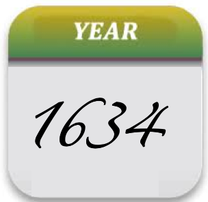
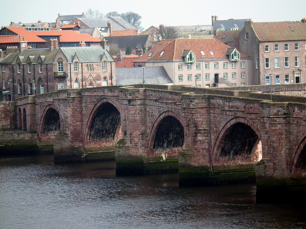
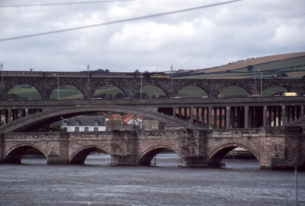
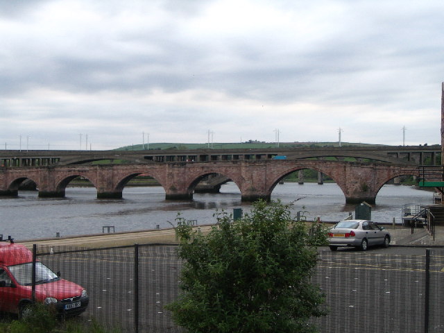
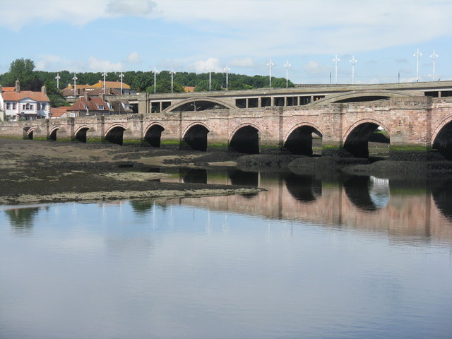
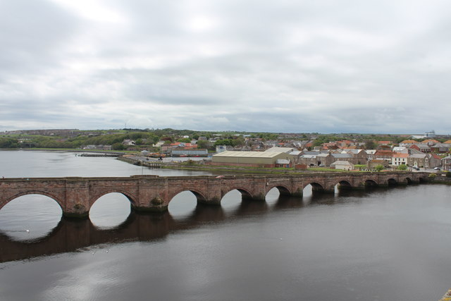
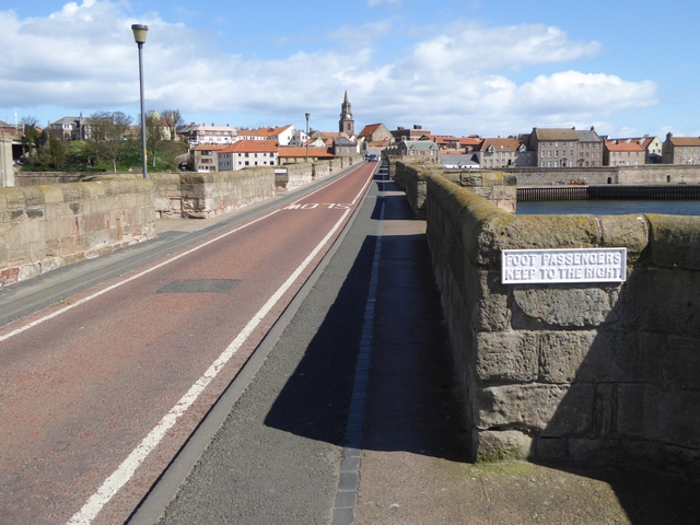
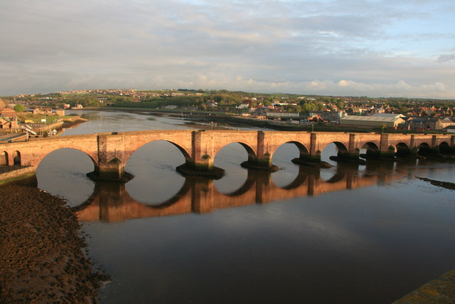
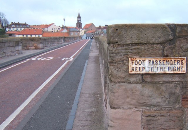
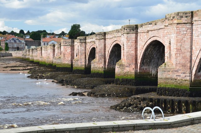
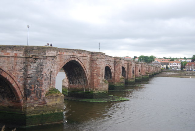
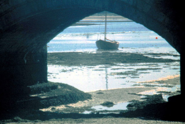
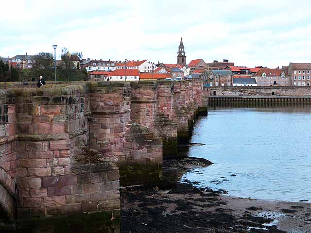
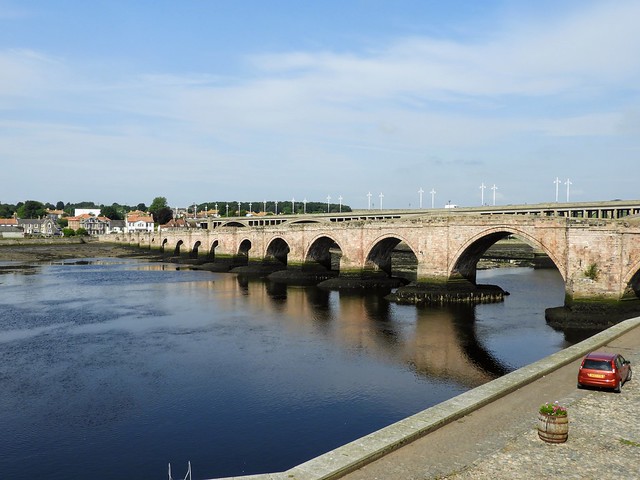
Berwick Bridge, over the River Tweed at Berwick, was built between 1611 and 1634 by James Burrell. The red sandstone bridge has 15 arches and is 355 metres long. The bridge was almost complete in 1621, but severe flooding caused damage which put back its completion by several years. Five previous bridges stood on the site - The King (James I of England and James VI of Scotland) ordered the construction of the present bridge. It replaced a wooden bridge built in the reign of Henry VII (after 1485), which carried the main road from London to Edinburgh, but had become dilapidated. The bridge is Grade I listed on the National Heritage List for England.

from https://historicengland.org.u…
BERWICK BRIDGE - List Entry
- "1611-34. 15 arches with cutwaters having columns and busts. 1164 feet long, 17 feet wide, the arches increasing in height up to 45 feet high on North end...."
Added by
Pat Thomson
Co-Curate Page
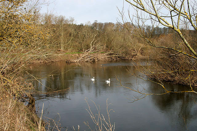
River Tweed
- Overview About the River Tweed The River Tweed is a major river which flows east through the Scottish Borders and into Northumberland, discharging into the North Sea at Berwick-upon-Tweed. From …

from Geograph (geograph)
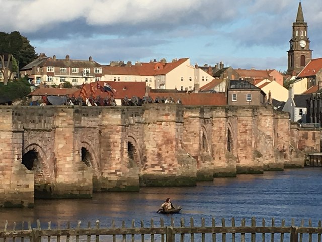
'Outlaw King' on Berwick Bridge crossing the Tweed
Pinned by Simon Cotterill
Co-Curate Page
Tweedmouth
- Overview About Tweedmouth History Map Street View Tweedmouth is part of the town of Berwick-upon-Tweed, located on the south bank of the River Tweed, near the mouth of the river. …


from https://historicengland.org.u…
BERWICK BRIDGE - List Entry
- "1611-34. 15 arches with cutwaters having columns and busts. 1164 feet long, 17 feet wide, the arches increasing in height up to 45 feet high on North end...."
Added by
Pat Thomson
Co-Curate Page
River Tweed
- Overview About the River Tweed The River Tweed is a major river which flows east through the Scottish Borders and into Northumberland, discharging into the North Sea at Berwick-upon-Tweed. From …
from Geograph (geograph)
'Outlaw King' on Berwick Bridge crossing the Tweed
Pinned by Simon Cotterill
Co-Curate Page
Tweedmouth
- Overview About Tweedmouth History Map Street View Tweedmouth is part of the town of Berwick-upon-Tweed, located on the south bank of the River Tweed, near the mouth of the river. …