Topics > Geography > Rivers > Streams, Becks and Burns > Seaton Burn (river)
Seaton Burn (river)
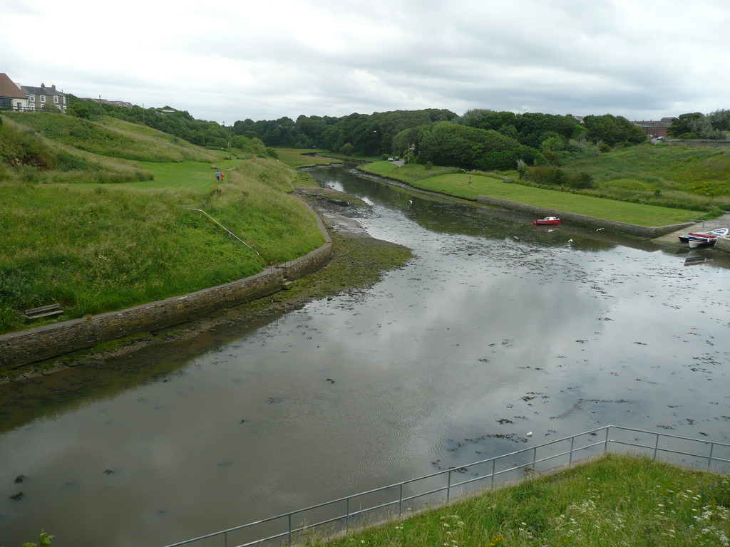
Map of Seaton Burn and it's Catchment Area. Marker shows position of the Tidal Limit.
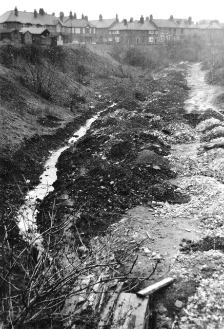
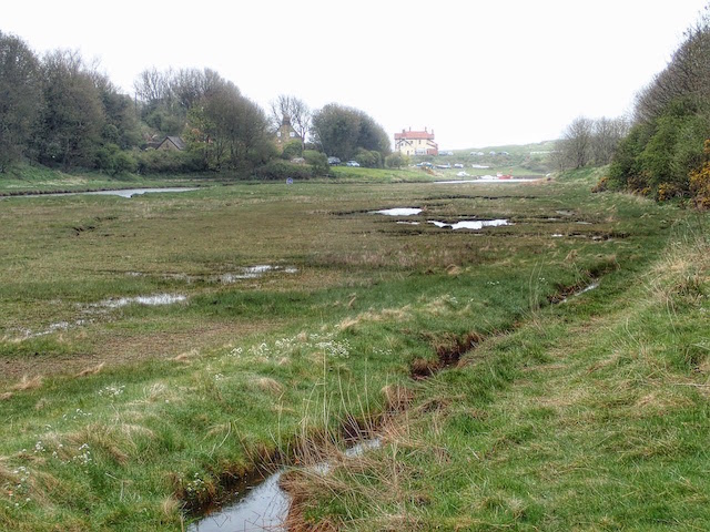
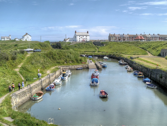
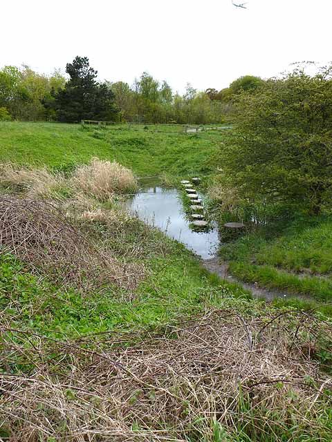
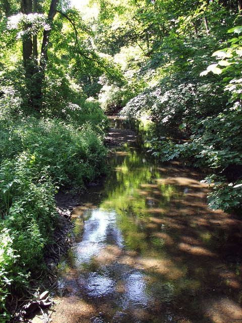
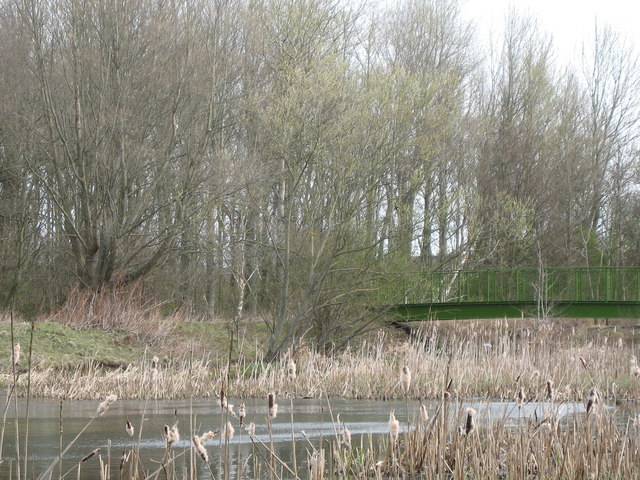
Seaton Burn is a small river in Northumberland. It arises near Brunswick Village as Hartley Burn, flowing into Big Waters (now a nature reserve , originally formed in the 1920's as a result of mining subsidence). Then from Little Waters, near Seaton Burn (village) the Seaton Burn flows broadly eastwards, eventually discharging int the North Sea at Seaton Sluice. In total the Burn is 18.6 km long and has a catchment area of 5,269 hectares.[1]

from http://environment.data.gov.u…
Seaton Burn from Source to Tidal Limit
- Map and information from the Environment Agency
Added by
Simon Cotterill

from Geograph (geograph)
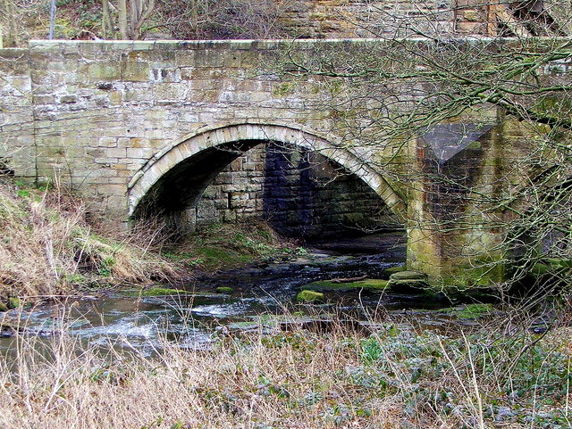
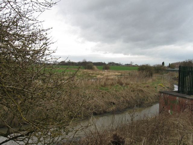
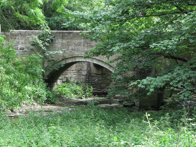
Seaton Burn and the bridge carrying the Hartley West Farm track, Seaton Sluice, Northumberland
Pinned by Simon Cotterill
Co-Curate Page
Seghill
- Overview About Seghill Map Street View Seghill is a village near Cramlington in Northumberland situated between Seaton Delaval and Annitsford. Seghill developed as a mining village; Seghill Colliery was opened …
Co-Curate Page
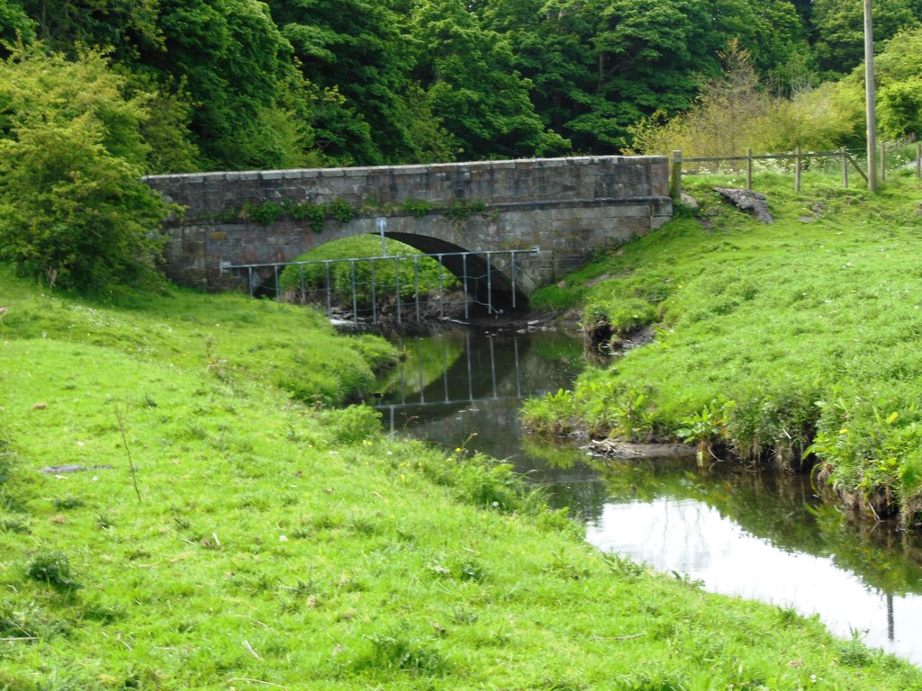
Stone Bridge, near Hartley West Farm
- Mid 18th century stone bridge over Seaton Burn on the track to Hartley West Farm in Holywell Dene. The bridge is Grade II listed on the National Heritage List for …
Co-Curate Page
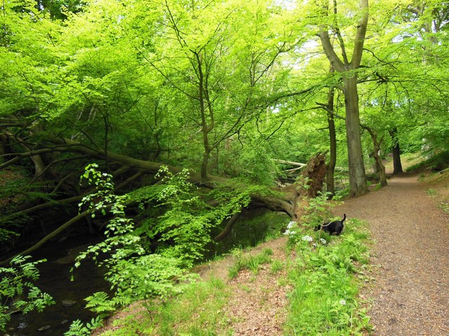
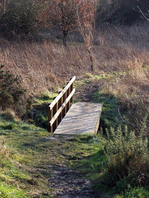
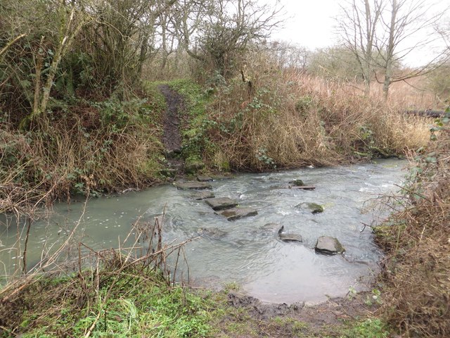
Old Holywell Bridge
- Overview Map Street View This old bridge (now a footbridge) crosses Seaton Burn immediately west of the newer road bridge, south of Holywell. The old bridge dates from the 17th …

from http://environment.data.gov.u…
Seaton Burn from Source to Tidal Limit
- Map and information from the Environment Agency
Added by
Simon Cotterill
from Geograph (geograph)
Seaton Burn and the bridge carrying the Hartley West Farm track, Seaton Sluice, Northumberland
Pinned by Simon Cotterill
Co-Curate Page
Seghill
- Overview About Seghill Map Street View Seghill is a village near Cramlington in Northumberland situated between Seaton Delaval and Annitsford. Seghill developed as a mining village; Seghill Colliery was opened …
Co-Curate Page
Stone Bridge, near Hartley West Farm
- Mid 18th century stone bridge over Seaton Burn on the track to Hartley West Farm in Holywell Dene. The bridge is Grade II listed on the National Heritage List for …