Topics > Northumberland > Civil Parishes in Northumberland > Sandhoe Civil Parish
Sandhoe Civil Parish
Parish boundaries may have changed - for the latest map see the Parish Council or Northumberland County Council.
About the Parish
Sandhoe Civil Parish is located in the Tyne Valley to the north of Hexham and west of Corbridge. The parish includes the hamlets of Sandhoe, Anick, Oakwood and Beaufront Woodhead. The northern boundary of the parish touches Hadrian’s Wall. The south of the parish is bounded by the River Tyne, and much of the west of the parish by Birkey Burn. The A69 Newcastle-Carlisle road intersects the parish.
| Settlements: |
Sandhoe, Anick, Oakwood, Anick Grange, Beaufront Woodhead, Stagshaw |
| Population: |
453 (2021 Census) 519 (2011 Census) 527 (2001 Census) |
| Area: | 10.9 km² |
| Parish Council: | Sandhoe Parish Council |
| Unitary Authority: | Northumberland County Council |
Historical |
|
|
Ancient Townships (in the modern CP area) |
Townships became civil parishes in their own right in 1866 (see below). Population: 198 in 1801, rising to 280 in 1851. Population: 161 in 1801, and 146 in 1851. Anick was a civil parish from 1866 - 1887. Population: 30 in 1801, and 40 in 1851. Anick grange was a civil parish from 1866 - 1887. |
| Ancient Parish: |
St. John Lee (St. John of Beverley) St. John Lee was a parish from 1572 to 1866. The parish church was located south of Acomb. The parish covered a wide geographical area and included the townships of Acomb (west), Anick, Anick Grange, Bingfield, Cocklaw, Fallowfield, Hallington, Portgate, Sandhoe, and Wall. Population: 1,802 in 1801, rising to 2,073 in 1851. Gazetteers (directories):
Ancient parishes refer to the parishes before the split between ecclesiastical (church) and civil parishes in the 19th century. They had a parish church and often were composed of multiple townships and chapelries. In many cases, townships and parishes were originally based on the territory of manors from the feudal system during medieval times. Civil parishes were created following the Poor Law Amendment Act 1866, in which Church of England parishes, extra-parochial areas, townships and chapelries, became "civil parishes" which could set their own poor rate (tax). The reforms of Local Government Act 1894 established elected civil parish councils (or parish meetings for parishes with less than 300 residents) and created urban and rural districts. Boundaries of parishes and civil parishes may have changed over time. |
| Ancient District: |
Tynedale (ward) |
| Poor Law Union: |
Hexham Poor Law Union, formed in 1836. Hexham Union Workhouse was located on Dean Street in Hexham, opening in 1839. This replaced smaller existing workhouses in Corbridge, Hexham and Horsley. Under the Poor Law Amendment Act of 1834 parishes were grouped into Unions, each of which had to build a workhouse if they did not already have one. It ended the old system of locally provided poor relief which had come under strain as numbers out of work grew, following increasing mechanisation of agriculture and the economic downturn after the Napoleonic Wars, along with changing social attitudes. The workhouse provided those unable to support themselves financially with accommodation and work. Inmates were generally segregated into men, women, boys and girls. The workhouse system was abolished by the Local Government Act 1929, but many workhouses lived on as ‘Public Assistance Institutions’ until the National Assistance Act 1948. |
|
District Council: |
Hexham Rural District (1894 - 1974). The district was abolished in 1974, following the Local Government Act 1972. Tynedale District (1974 - 2009). Tynedale covered the area of 5 former districts (Hexham Urban District, Prudhoe Urban District, Bellingham Rural District, Haltwhistle Rural District, and Hexham Rural District). The borough council was abolished when Northumberland County Council became a unitary authority on the 1st of April 2009. |
|
County / Unitary Authority |
In 1572 Parliament passed a bill annexing Hexham and Hexamshire to the County of Northumberland. The ancient county of Northumberland was enlarged following the Counties (Detached Parts) Act 1844; Bedlingtonshire, Norhamshire, Islandshire, the Farne Islands and Monks' House all became part of Northumberland. Up to then they had been enclaves of County Durham. Northumberland County Council formed 1889. Major boundary changes came into effect on the 1st April 1974. This followed the Local Government Act 1972, which formed the non-metropolitan county of Northumberland. This excluded the City of Newcastle upon Tyne and North Tyneside, which up to then had been part of Northumberland, but now became part of the newly formed Tyne & Wear. Northumberland County Council became a unitary authority on the 1st of April 2009. |
See also: ![]() Historic Buildings and Monuments in Sandhoe Civil Parish. Note: listed buildings are generally the responsibility of the county council / unitary authority, rather than the parish council.
Historic Buildings and Monuments in Sandhoe Civil Parish. Note: listed buildings are generally the responsibility of the county council / unitary authority, rather than the parish council.
Co-Curate Page
Sandhoe
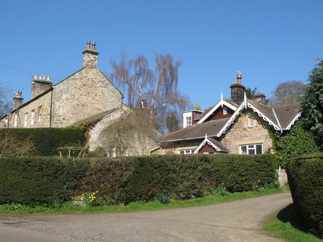
- Overview Map Street View Sandhoe is a village and civil parish in Northumberland.
Co-Curate Page
Anick
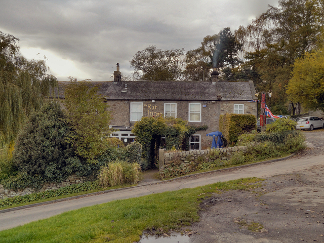
- Overview Map Street View Anick is a small village in Northumberland, located about a mile north-east of Hexham, and part of Sandhoe Civil Parish. In the 14th century Anick was an …
Co-Curate Page
Oakwood
- Overview Map Street View Oakwood in Northumberland is a village located about a mile north-east of Hexham. The village of Anick is located immediately to the east of Oakwood.

from https://www.sandhoeparishcoun…
Sandhoe Parish Council
- Official Website of Sandhoe Parish Council. "....Welcome to Sandhoe Parish in the county of Northumberland. Situated just north of Hexham in the beautiful Tyne Valley, the parish consists of four …
Added by
Simon Cotterill

Co-Curate Page
Anick Grange
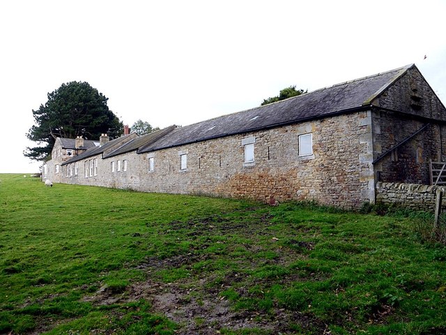
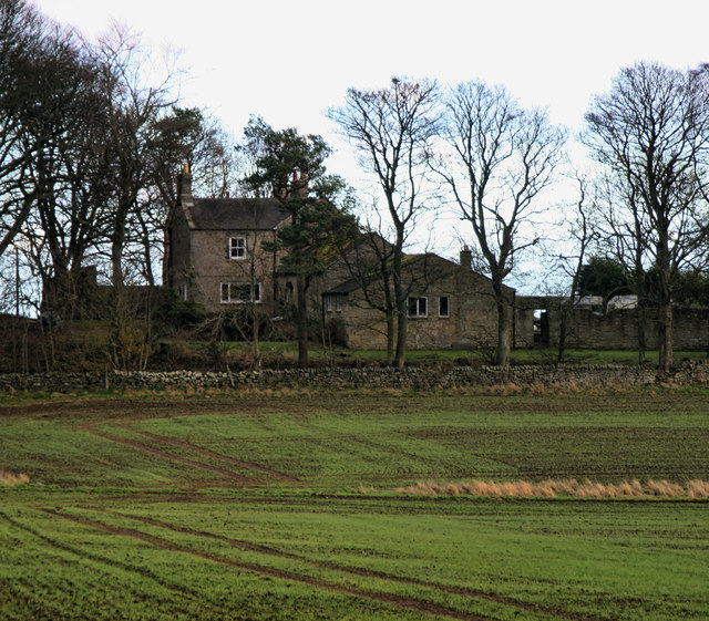
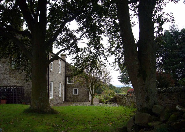
- Overview Map Street View Anick Grange is a hamlet consisting of a farm and a few cottages, located about 1½ miles north-east of Hexham and a ¼ mile south of …

Co-Curate Page
Beaufront Woodhead
- Overview Map Street View Beaufront Woodhead is a hamlet in Northumberland, situated near Birkley Burn and located about 1½ miles north-east of Hexham and ½ mile north-west of Beaufront Castle. …
Co-Curate Page
Beaufront First School
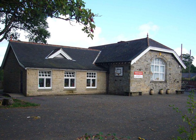
- Overview Map Street View Beaufront First School is located in Beaufront Woodhead, and serves the wider area. It is a community school with about 70 pupils aged 4 to 9. Previously …

Co-Curate Page
Sandhoe
- Overview Map Street View Sandhoe is a village and civil parish in Northumberland.
Co-Curate Page
Anick
- Overview Map Street View Anick is a small village in Northumberland, located about a mile north-east of Hexham, and part of Sandhoe Civil Parish. In the 14th century Anick was an …
Co-Curate Page
Oakwood
- Overview Map Street View Oakwood in Northumberland is a village located about a mile north-east of Hexham. The village of Anick is located immediately to the east of Oakwood.
from https://www.sandhoeparishcoun…
Sandhoe Parish Council
- Official Website of Sandhoe Parish Council. "....Welcome to Sandhoe Parish in the county of Northumberland. Situated just north of Hexham in the beautiful Tyne Valley, the parish consists of four …
Added by
Simon Cotterill
Co-Curate Page
Anick Grange
- Overview Map Street View Anick Grange is a hamlet consisting of a farm and a few cottages, located about 1½ miles north-east of Hexham and a ¼ mile south of …
Co-Curate Page
Beaufront Woodhead
- Overview Map Street View Beaufront Woodhead is a hamlet in Northumberland, situated near Birkley Burn and located about 1½ miles north-east of Hexham and ½ mile north-west of Beaufront Castle. …
Co-Curate Page
Beaufront First School
- Overview Map Street View Beaufront First School is located in Beaufront Woodhead, and serves the wider area. It is a community school with about 70 pupils aged 4 to 9. Previously …


