Topics > Northumberland > Corbridge
Corbridge
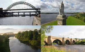
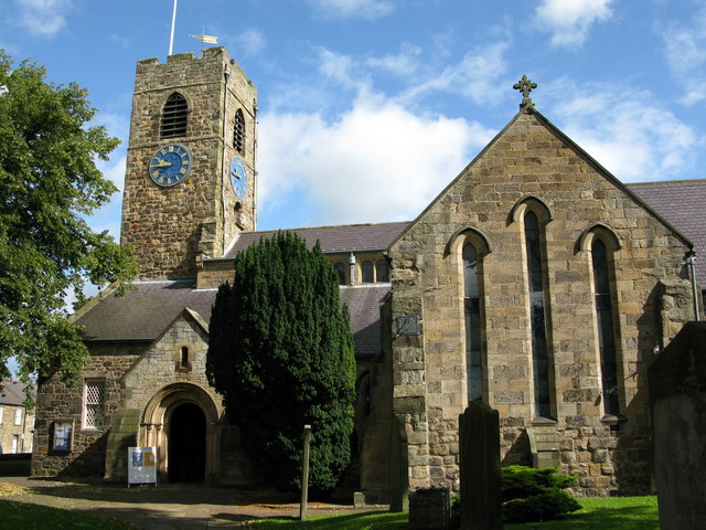
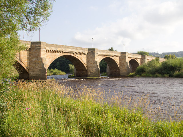
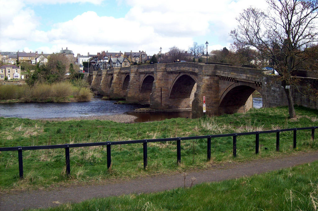
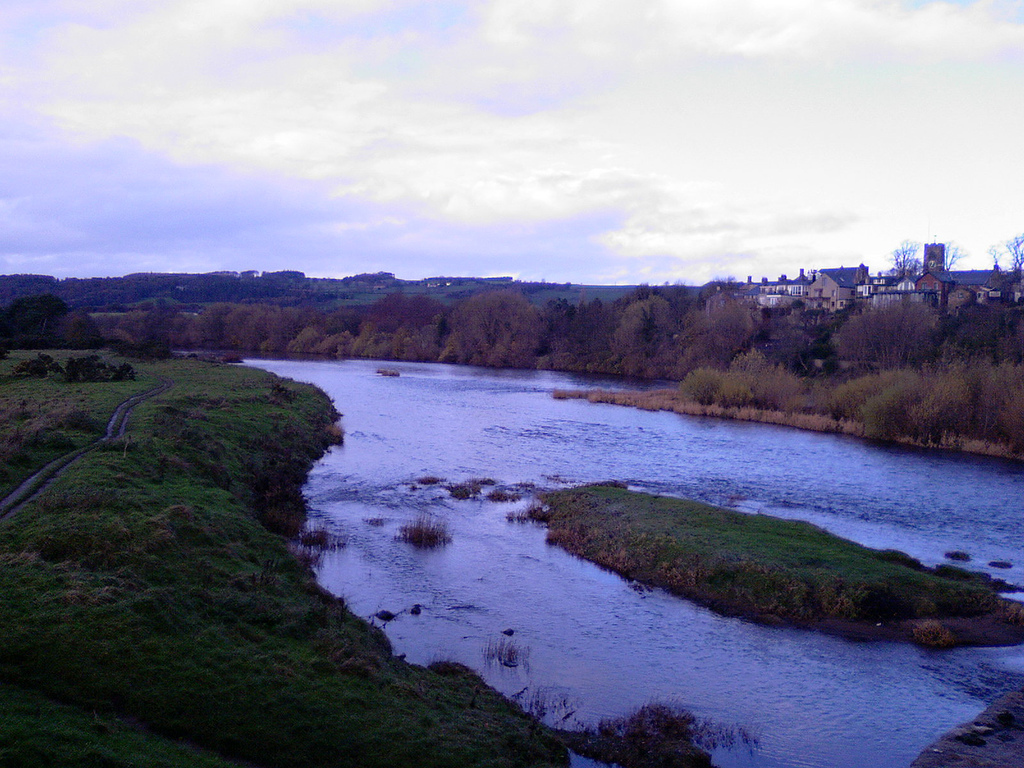
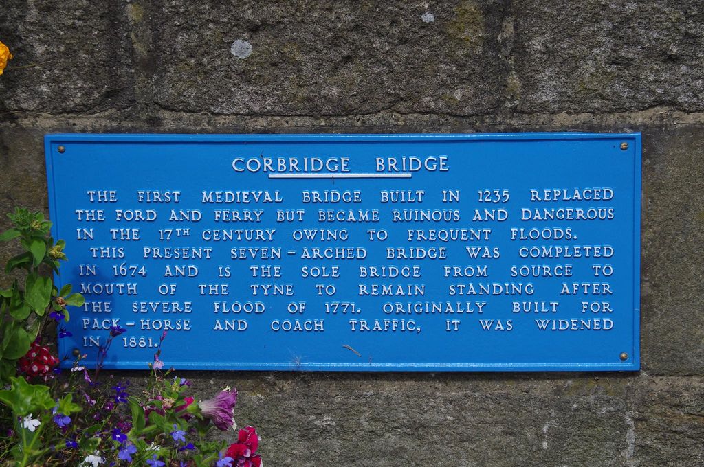
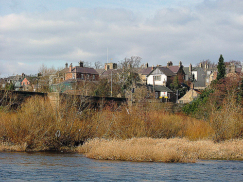
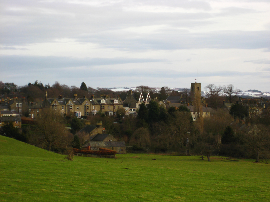
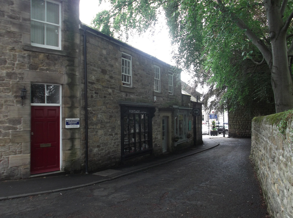
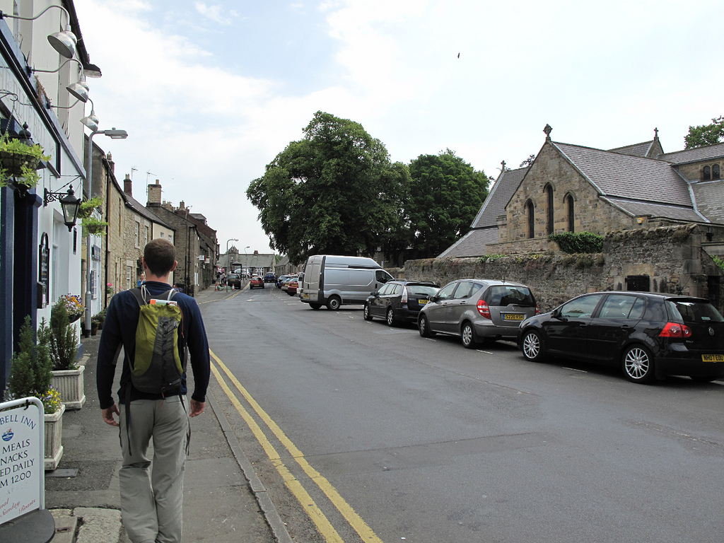
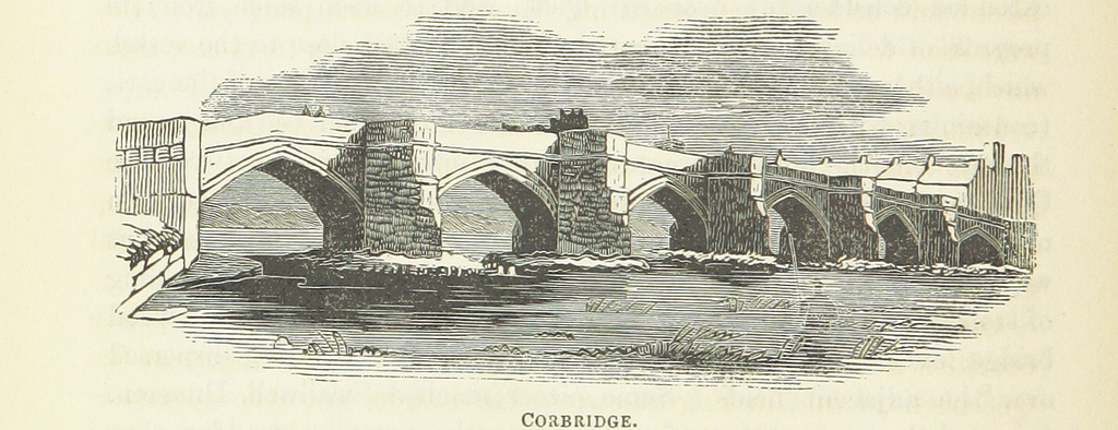
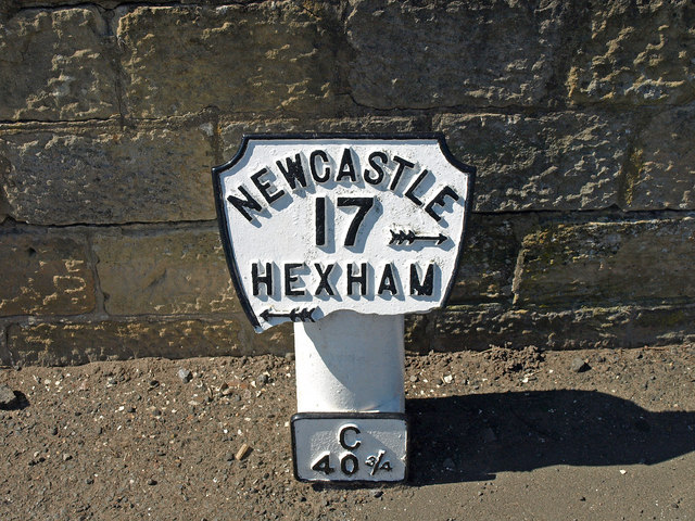
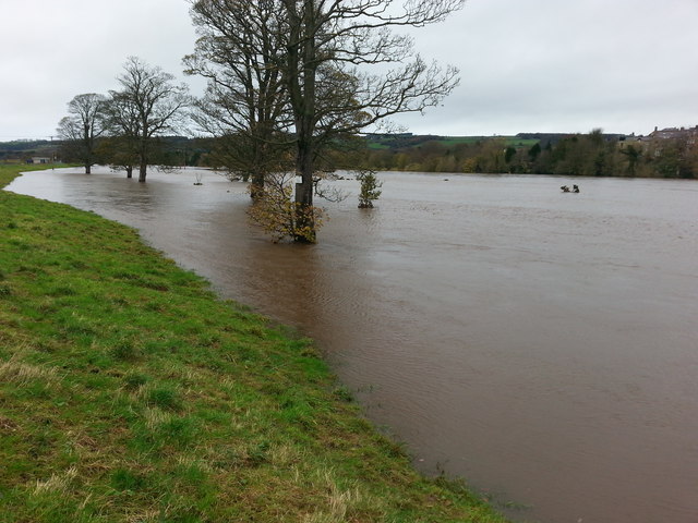
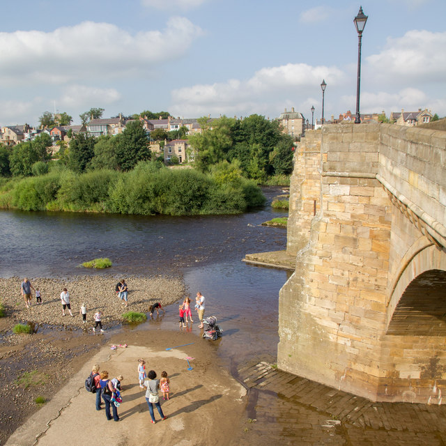
Corbridge is a large village by the River Tyne, located about 3 miles east of Hexham and 17 miles west of Newcastle. Corbridge was the site of a Roman town and fort, which was an important supply base located at the junction of Stanegate (the road running west to the Roman fort at Carlisle, which pre-dates the nearby Hadrian's Wall) and Dere Street (the Roman road running north from York into Scotland). The importance of Corbridge due to its location on major travel routes remained long after the Romans left, reinforced by the building of a bridge over the Tyne here in 1235 (replaced by the current Tyne Bridge in 1674). St Andrew's Church in Corbridge dates from the late 7th century and incorporates reused Roman masonry.
 |
 |
 |
 |
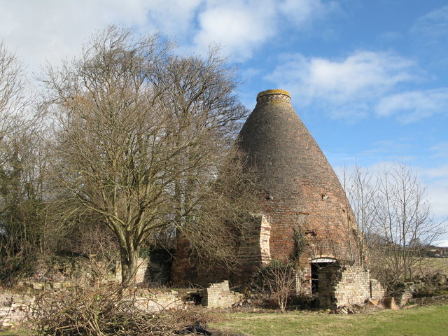 |
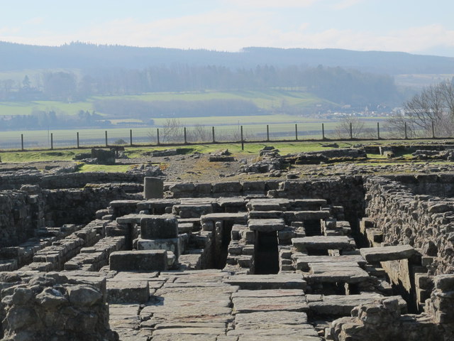
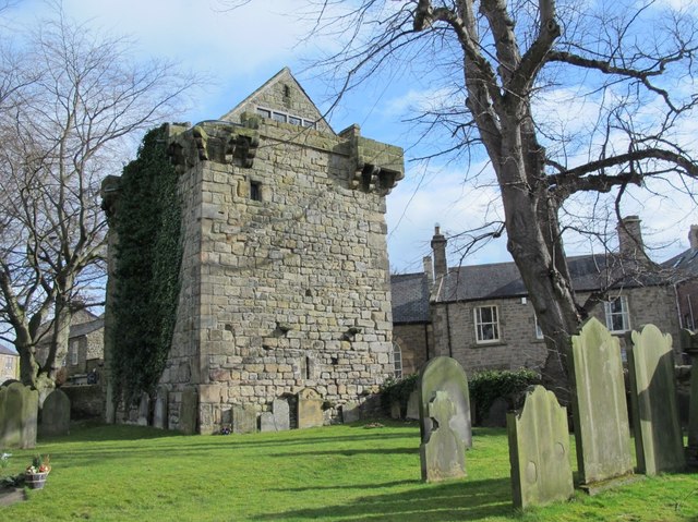
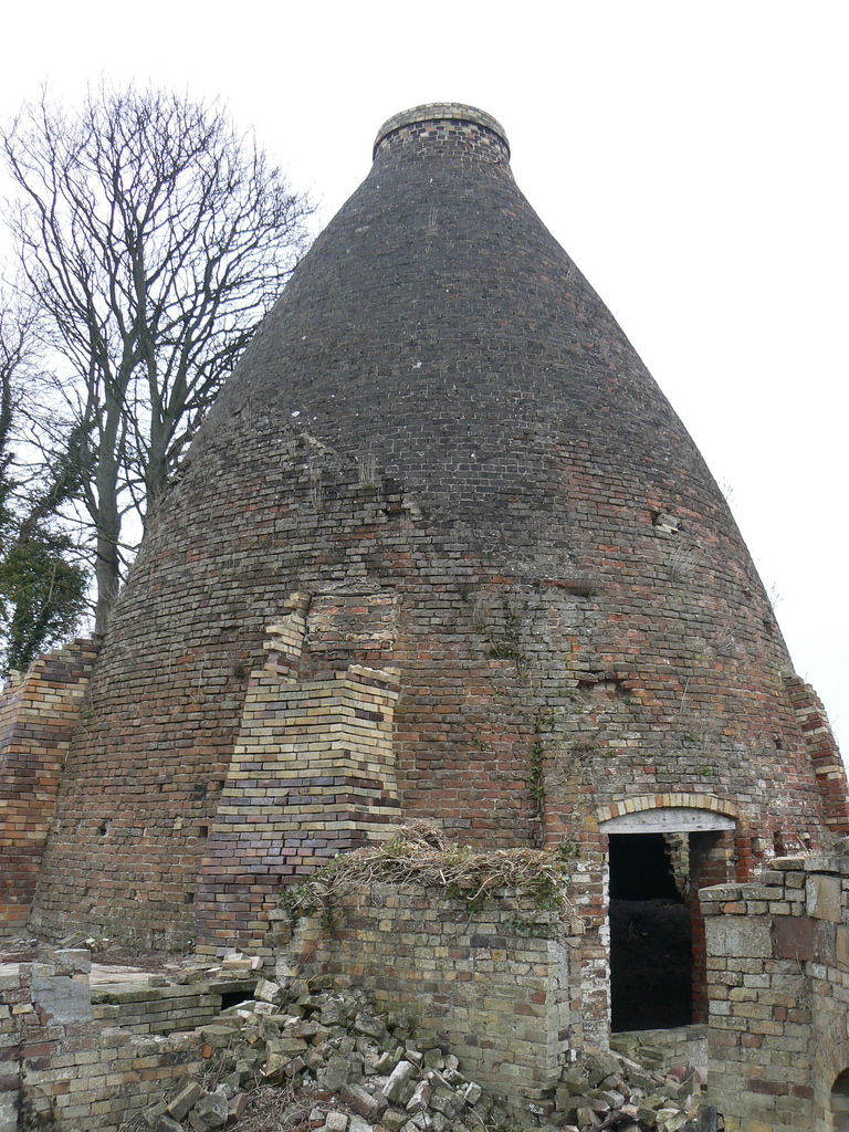
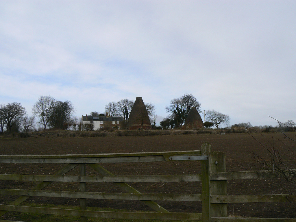
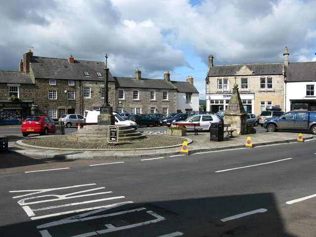
| Roman Town | St Andrew's Church | Vicar's Pele | Tyne Bridge | Bottle Kilns |
 |
 |
 |
 |
 |
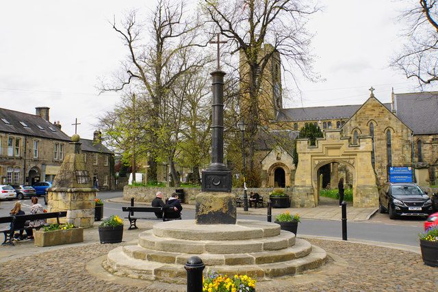
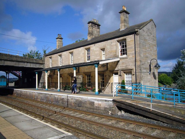
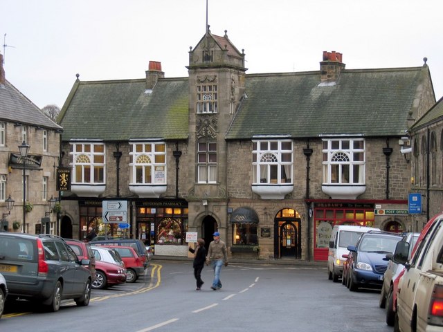
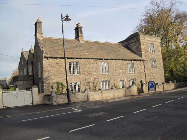
| Low Hall | Market Cross | Railway Station | Old Town Hall | Corbridge Mill |
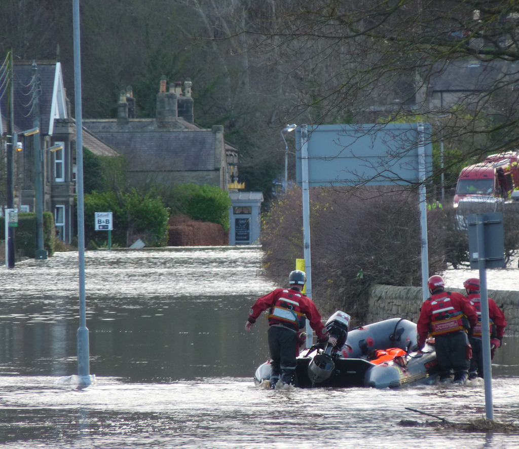
Corbridge suffered due the border conflicts with Scotland and raids by the Border Reivers from around the 14th to 17th centuries. This is evident in the defensive tower of Low Hall, the Vicar's Pele by St Andrew's Church, and the nearby Aydon Castle and Dilston Castle. Corbridge grew during the 19th century, following the opening of the Newcastle and Carlisle Railway in 1838; the original Station Building is now a popular restaurant next to the current station platform.
Could you help build the Corbridge Timeline?
Corbridge is a village in Northumberland, England, 16 miles west of Newcastle and 4 miles east of Hexham. Villages nearby include Halton, Acomb, Aydon and Sandhoe.
History
Etymology
Known to the Romans as something like Corstopitum or Coriosopitum, wooden writing tablets found at Vindolanda suggest it was probably locally called Coria (meaning a tribal centre). According to Bethany Fox, the early attestations of the English name Corbridge 'show variation between Cor- and Col-, as in the earliest two forms, Corebricg and Colebruge, and there has been extensive debate about what its etymology may be. Some relationship with the Roman name Corstopitum seems clear, however'.
Roman fort and town
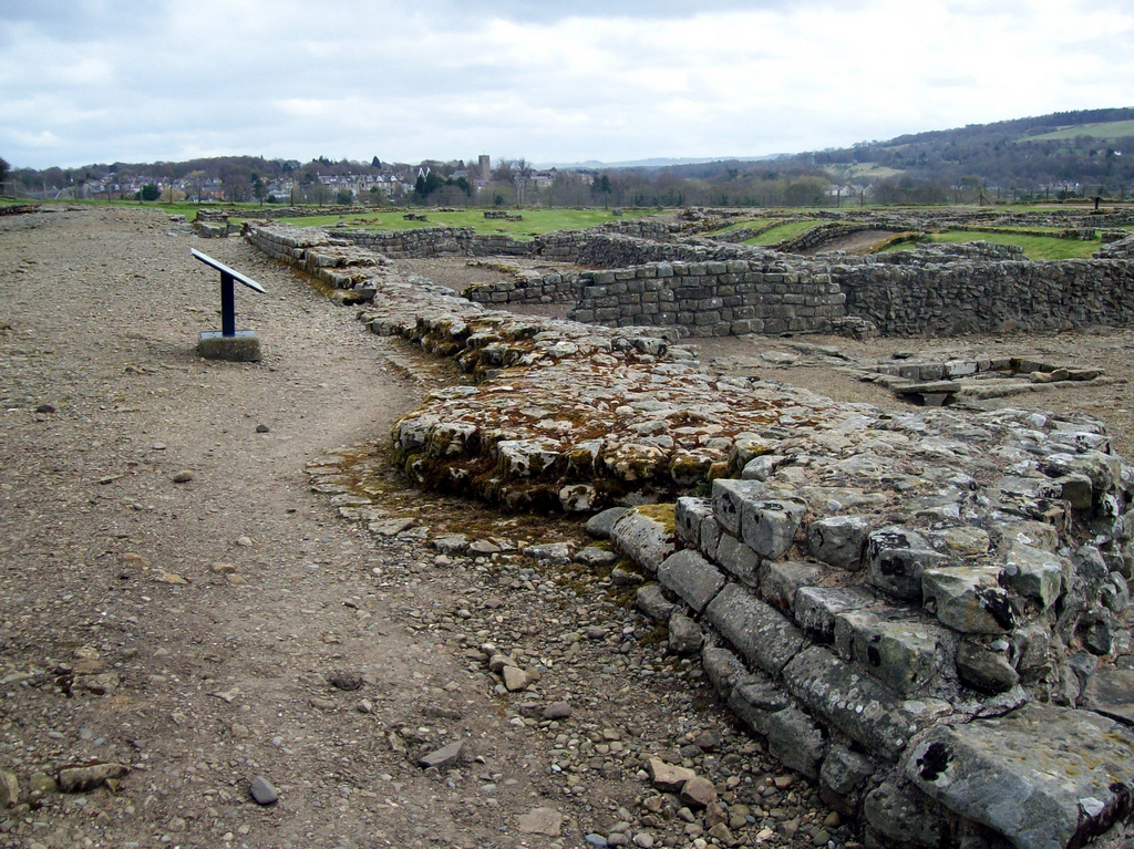
Coria was the most northerly town in the Roman Empire, lying at the junction of Stanegate and Dere Street.
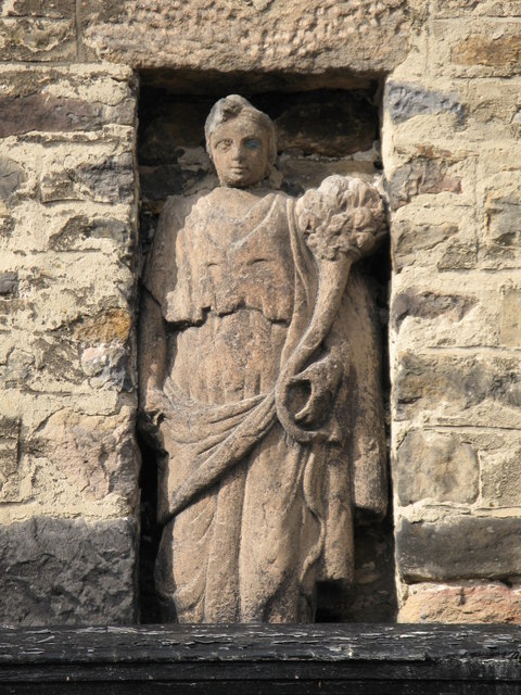
The first fort was established c. AD 85, although there was a slightly earlier base nearby at Beaufront Red House. By the middle of the 2nd century AD, the fort was replaced by a town with two walled military compounds, which were garrisoned until the end of the Roman occupation of the site. The best-known finds from the site include the stone Corbridge Lion and the Corbridge Hoard of armour and sundry other items. In Rudyard Kipling's Puck of Pook's Hill, the town of Hunno on the Wall, is probably based on Corstopitum.
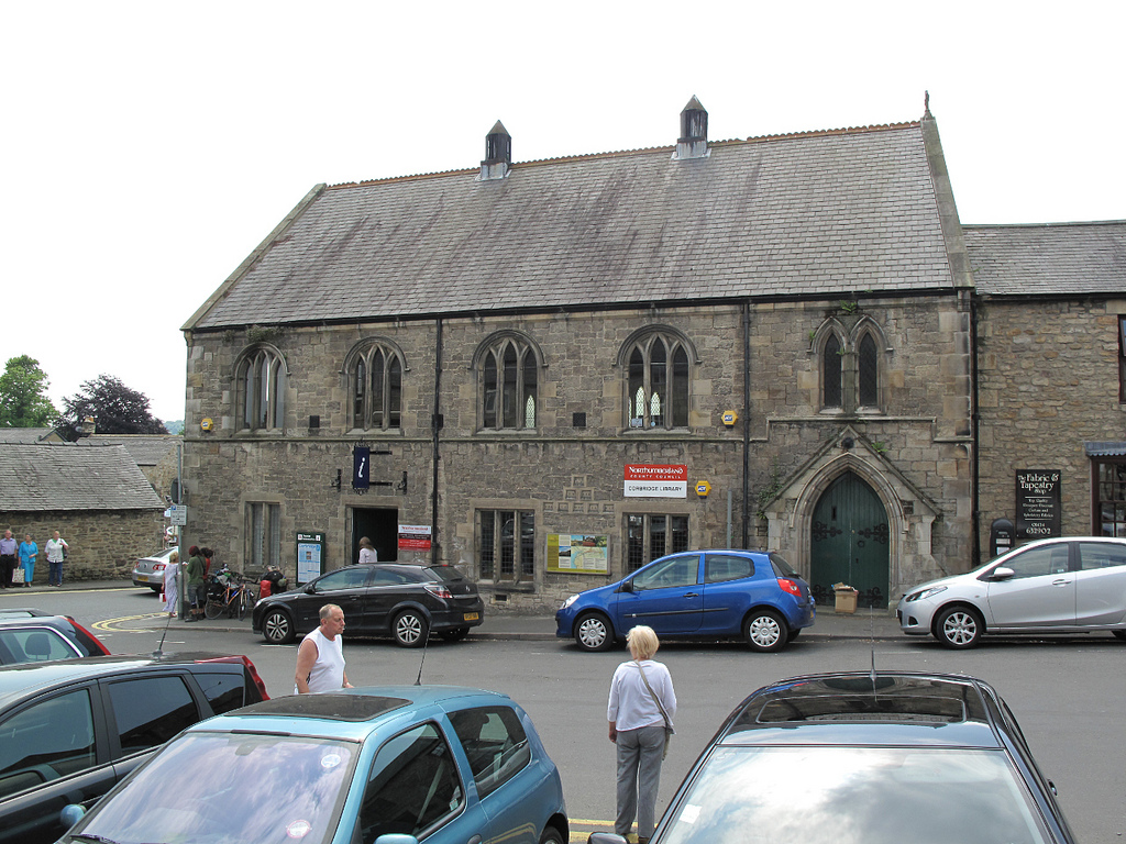
The Roman Town is now managed by English Heritage on behalf of HM Government. The site has been largely excavated and features a large museum and shop. The fort is the top-rated attraction in Corbridge and is open daily between 10 and 6 in the summer and at weekends between 10 and 4 in the winter.
Buildings
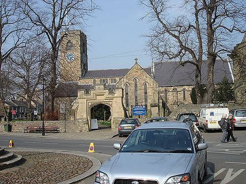
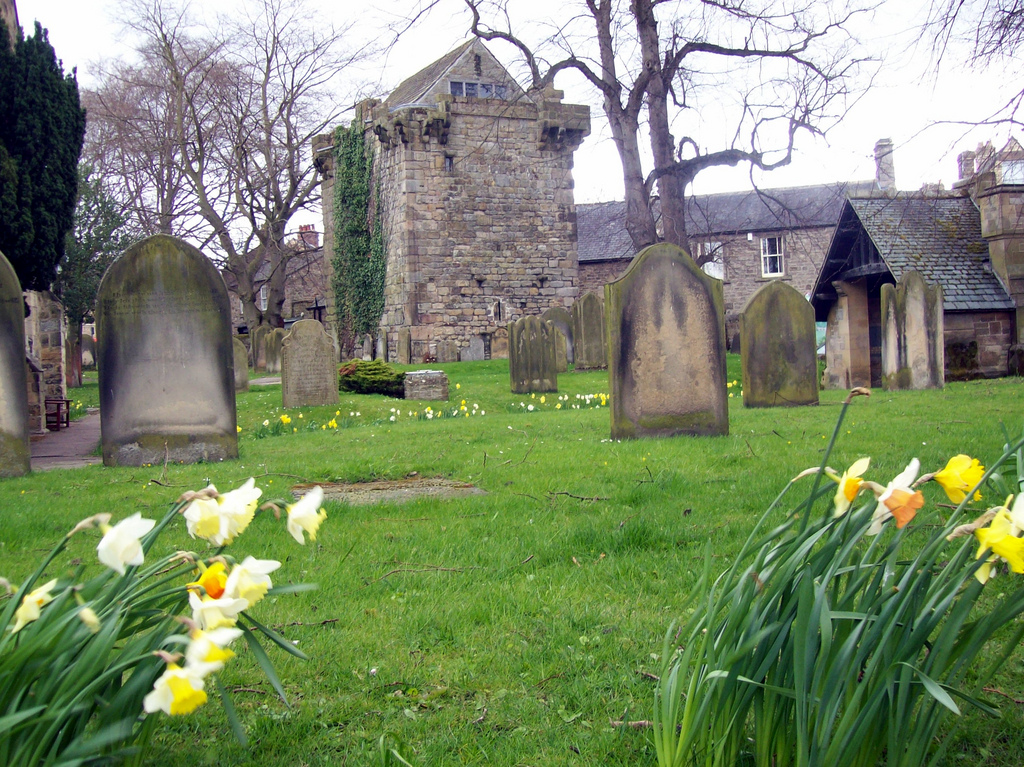
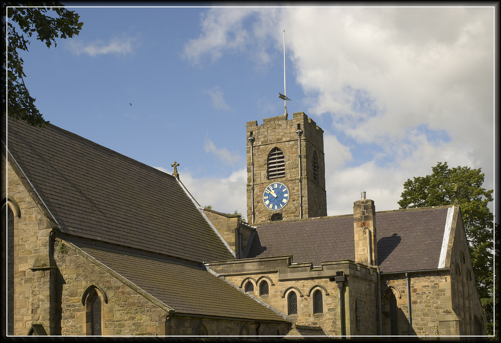
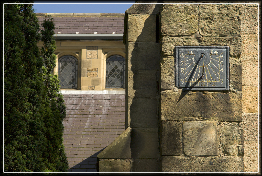
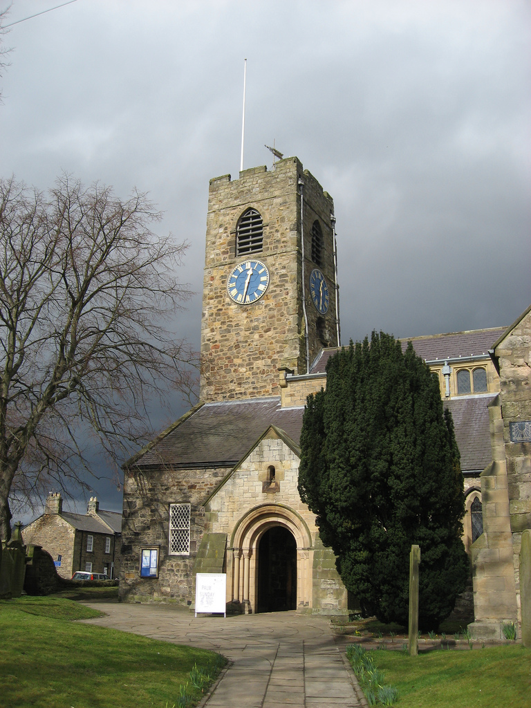
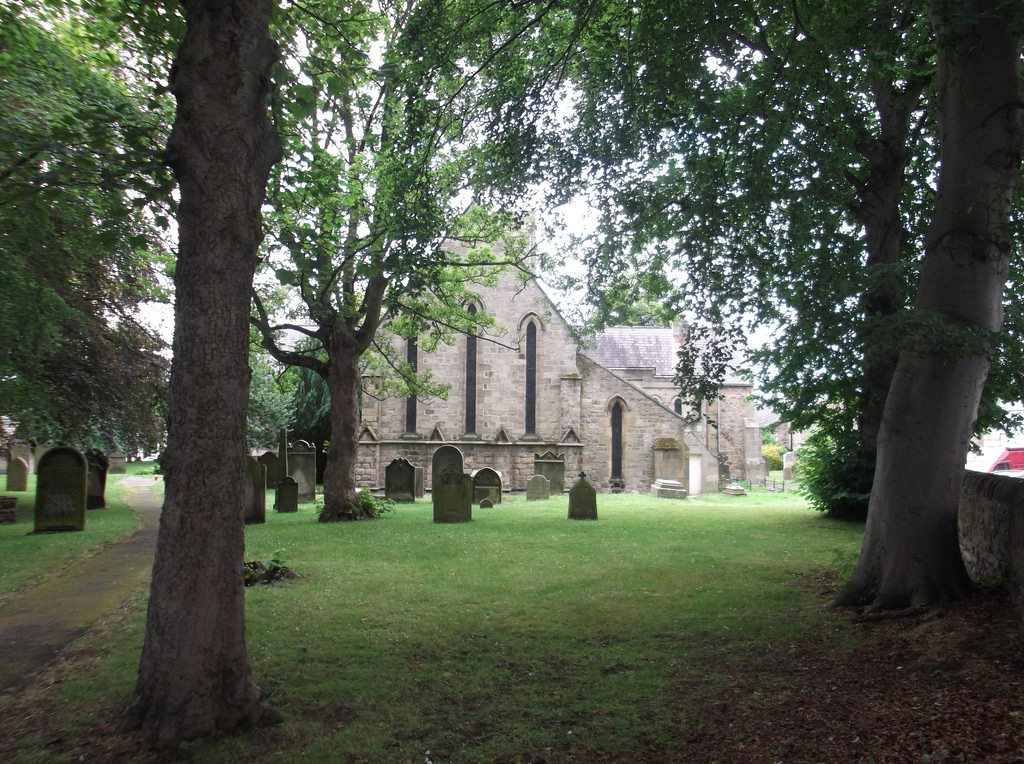
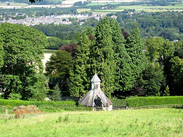
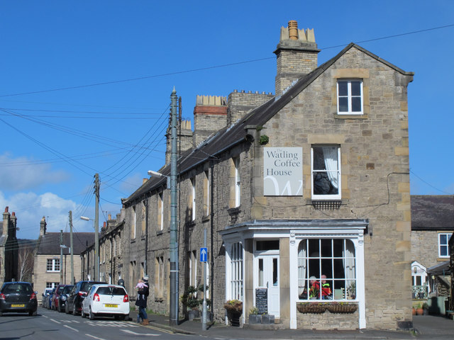
The Church of England parish church of Saint Andrew is thought to have been consecrated in 676. Saint Wilfrid is supposed to have had the church built at the same time as Hexham Abbey. It has been altered several times since, with a Norman doorway, and a lychgate built as a First World War memorial. The Church is built largely from stone taken from Hadrian's Wall, and the entrance to the Church is through glass doors given by Rowan Atkinson (Blackadder and Mr. Bean) and etched in memory of his mother. (Information obtained during a recent visit to the town and the Church.)
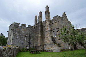
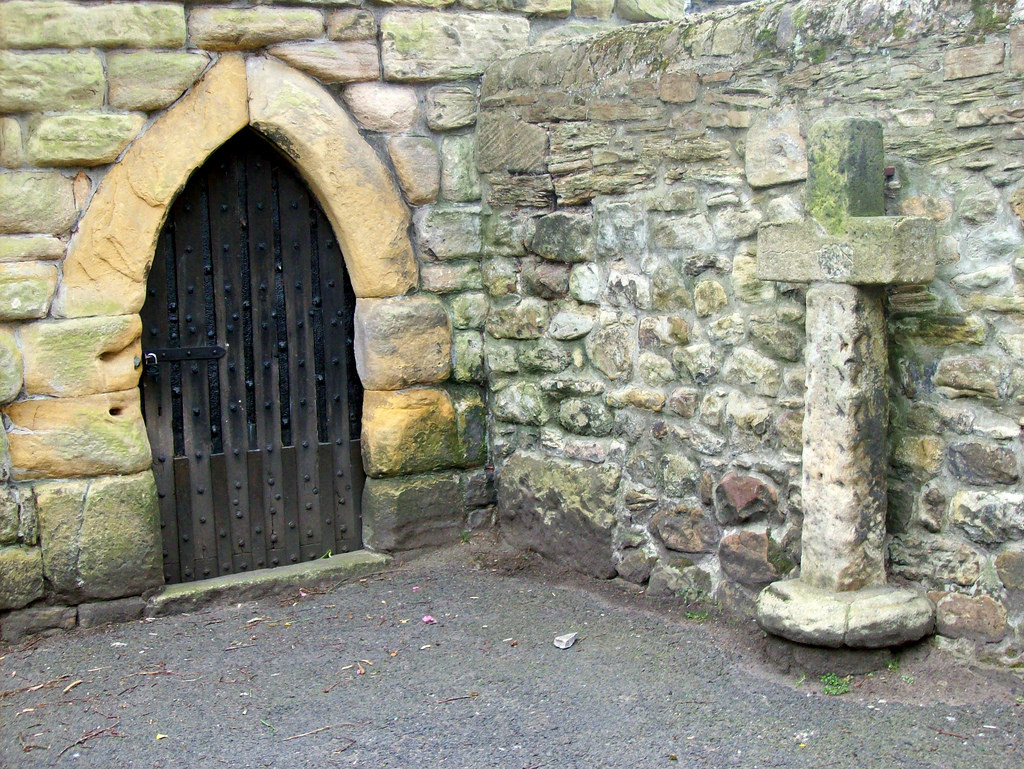
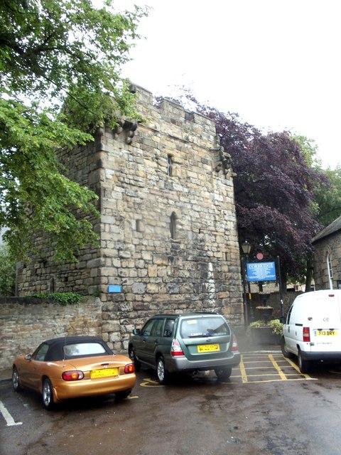
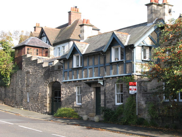
There are only three fortified vicarages in the county, and one of these is in Corbridge. Built in the 14th century, the Vicar's Pele is to be found in the south-east corner of the churchyard, and has walls 1.3 metres (4 ft) in thickness. The register for St. Andrews dates from 1657. Later on in the town's history, Wesleyan, Primitive and Free Methodist chapels were all built too.
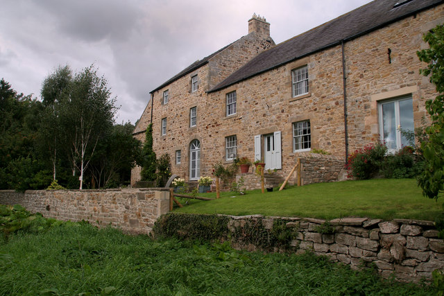
Even older than the Vicar's Pele is Corbridge Low Hall, dating from the late 13th or early 14th century with one end converted to a pele tower in the 15th century. The main block was remodelled in the 16th and 17th centuries, and the building restored c1890.
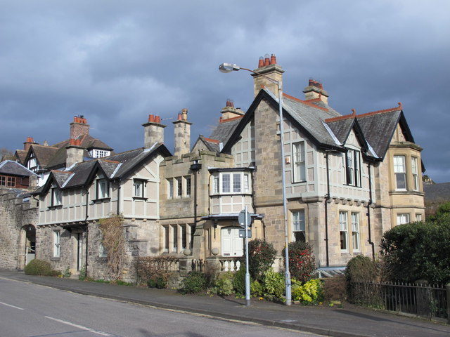
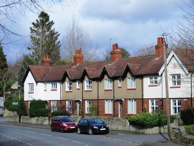
A number of fine Victorian mansions were developed on Prospect Hill to house successful industrialists and local businessmen in the late 19th century.
Border warfare
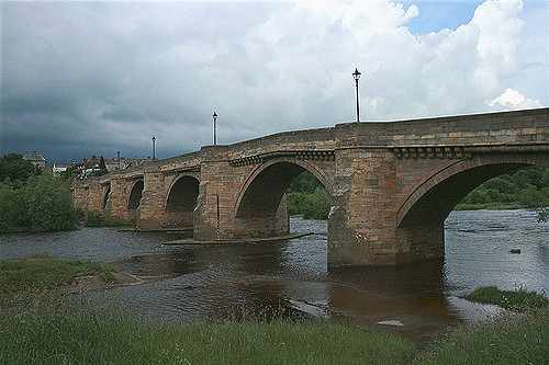
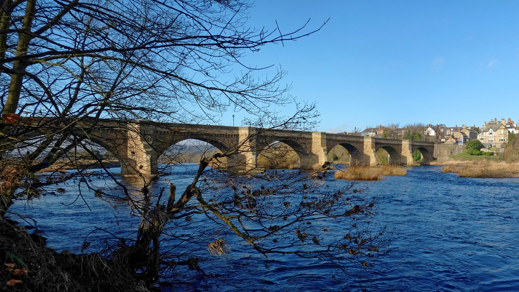
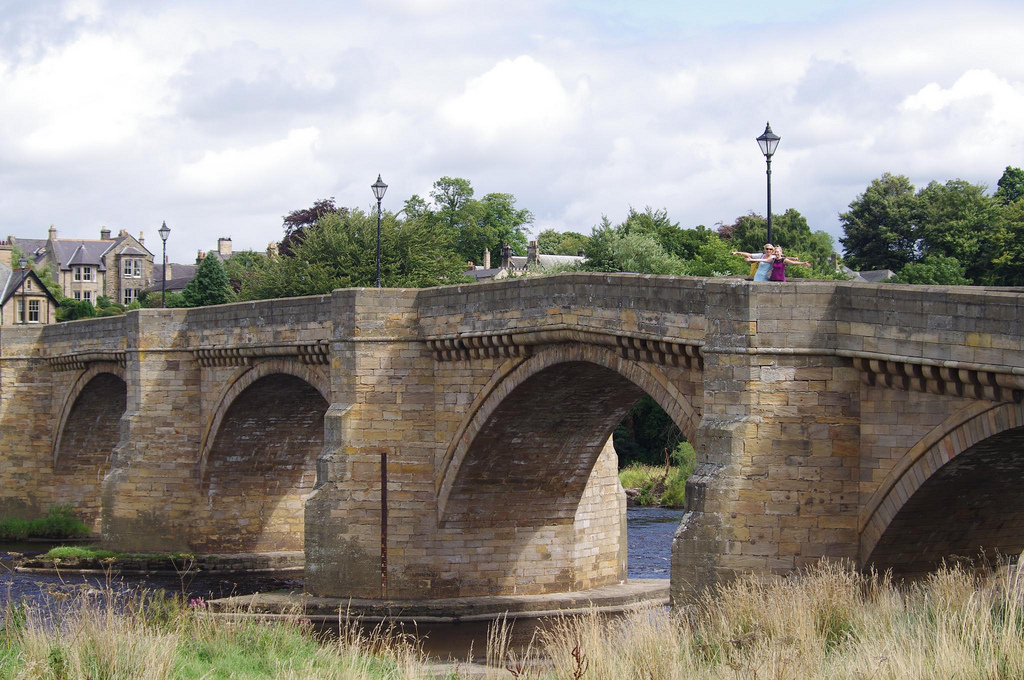
Corbridge suffered, as did many other settlements in the county, from the border warfare which was particularly prevalent between 1300 and 1700. Raids were commonplace, and it was not unusual for the livestock to be brought into the town at night and a watch placed to guard either end of the street for marauders. A bridge over the Tyne was built in the 13th century, but this original has not survived. The present bridge, an impressive stone structure with seven arches, was erected in 1674.
Governance
Corbridge is in the parliamentary constituency of Hexham.
An electoral ward of the same name exists. This ward includes Corbridge and Sandhoe. It had a total population taken at the 2011 census of 4,191.
Transport
Corbridge is bypassed to the north by the A69 road, linking it to Newcastle and Carlisle. It is also linked to Newcastle and the A1 by the A695 which passes about away on the south side of the River Tyne.
;Railway
The town is served by Corbridge railway station on the Newcastle and Carlisle Railway, also known as the Tyne Valley Line. The line was opened in 1838, and links the city of Newcastle upon Tyne in Tyne and Wear with in Cumbria. The line follows the course of the River Tyne through Northumberland.
Passenger services on the Tyne Valley Line are operated by Northern and Abellio ScotRail. The line is also heavily used for freight.
The railway station is about away on the south side of the River Tyne.
Fairs and shows
Stagshaw Bank Fair, traditionally held on 4 July, was one of the most famous of the country fairs. It included a huge sale of stock, and was proclaimed each year by the bailiff to the Duke of Northumberland. Today the Northumberland County Show, an agricultural event, is held in the fields outside Corbridge each year, a very popular rural event, drawing people from all over Northumberland as well as further afield.
Fastlane Show
The Fastlane show is a supercar show which exhibits supercars from around the world.
Corbridge Steam Fair and Vintage Rally
The Corbridge Steam Fair and Vintage Rally is held every year in June to celebrate steam engines. There are also classic cars, trucks and tractors.
Notable people
- Ruth Ainsworth (1908–84), children's writer of the Rufty Tufty Golliwog series
- John Blackburn (1923–93), thriller writer
Born at Corbridge
- Alan Brown (footballer) (1914–96), professional footballer and manager
- Steve Bruce (born 1960), English football manager
Lived at Corbridge
- Catherine Cookson (1906–98), author
- Alan Pardew, English football manager


Co-Curate Page
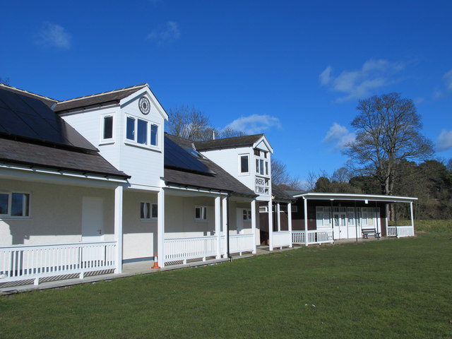
Corbridge Cricket Club
- Overview Map Founded in 1886, Corbridge is one of the oldest cricket clubs in Northumberland. The cricket ground is located by the south banks of the River Tyne, about half …
from Geograph (geograph)
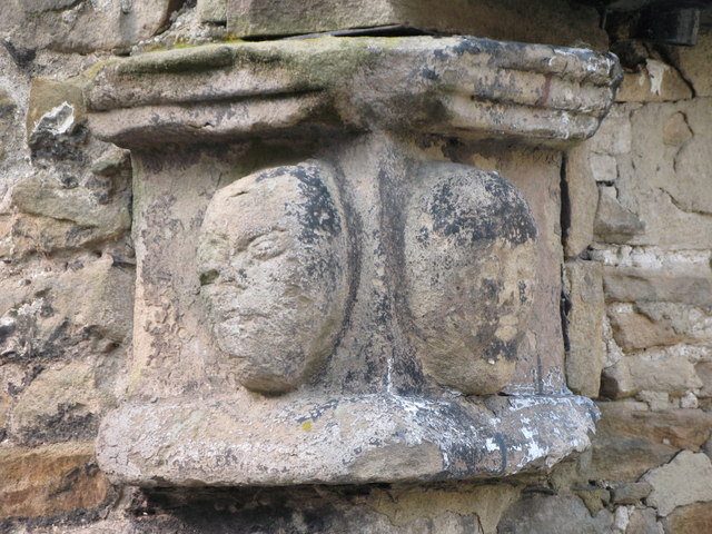
Mediaeval heads in the yard at the Wheatsheaf Hotel
Pinned by Simon Cotterill
from Geograph (geograph)
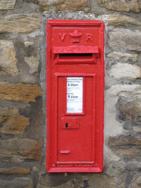
Victorian postbox, Stagshaw Lane / St. Helens Lane
Pinned by Simon Cotterill

from https://keystothepast.info/se…
Local History - Corbridge
- "The archaeology of the Corbridge parish is dominated by two settlements: namely the Roman garrison town of Corstopitum and the later, medieval town of Corbridge, located slightly further east. As …
Added by
Simon Cotterill


from Youtube (youtube)
Uncovering The Corbridge Story: Life On The Crossroads
Pinned by Simon Cotterill

Co-Curate Page
Corbridge Cricket Club
- Overview Map Founded in 1886, Corbridge is one of the oldest cricket clubs in Northumberland. The cricket ground is located by the south banks of the River Tyne, about half …
from Geograph (geograph)
Mediaeval heads in the yard at the Wheatsheaf Hotel
Pinned by Simon Cotterill
from Geograph (geograph)
Victorian postbox, Stagshaw Lane / St. Helens Lane
Pinned by Simon Cotterill
from https://keystothepast.info/se…
Local History - Corbridge
- "The archaeology of the Corbridge parish is dominated by two settlements: namely the Roman garrison town of Corstopitum and the later, medieval town of Corbridge, located slightly further east. As …
Added by
Simon Cotterill
from Youtube (youtube)
Uncovering The Corbridge Story: Life On The Crossroads
Pinned by Simon Cotterill

Northumberland
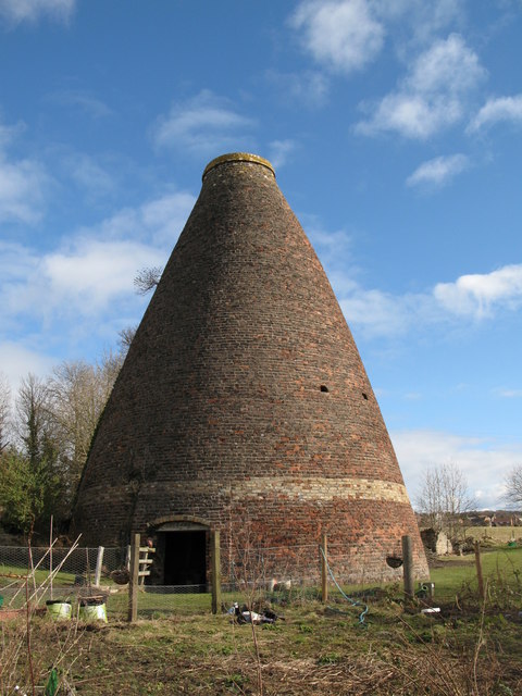
Bottle kilns, Corbridge
Church of St. Andrew, Corbridge

Corbridge at War
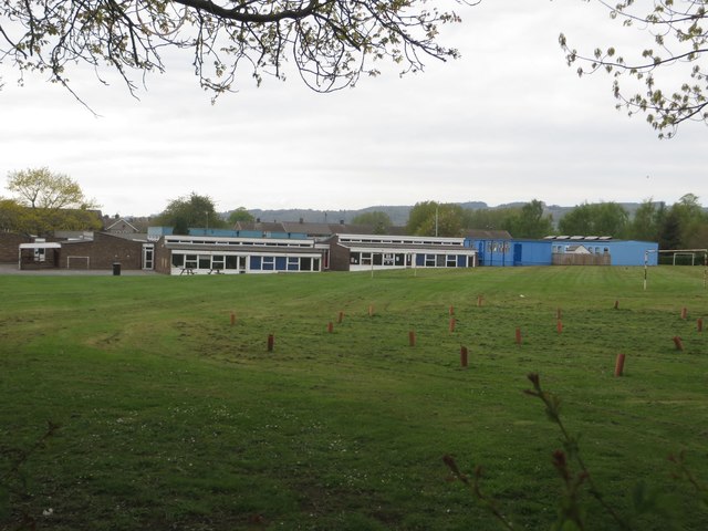
Corbridge CofE First School

Corbridge Conservation Area
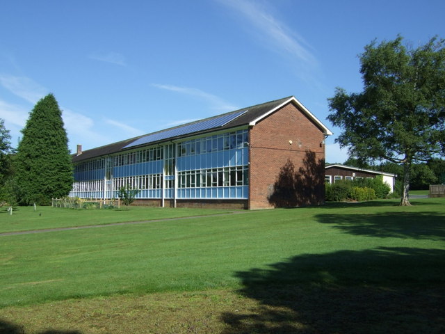
Corbridge Middle School
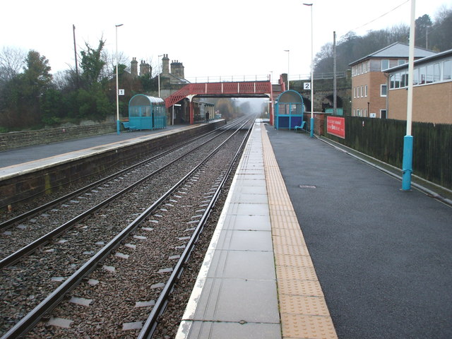
Corbridge Station
Low Hall and Pele Tower, Corbridge

Map and Aerial View of Corbridge
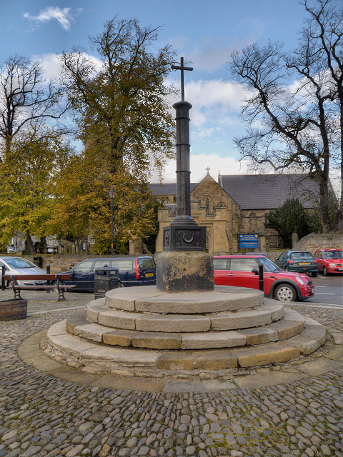
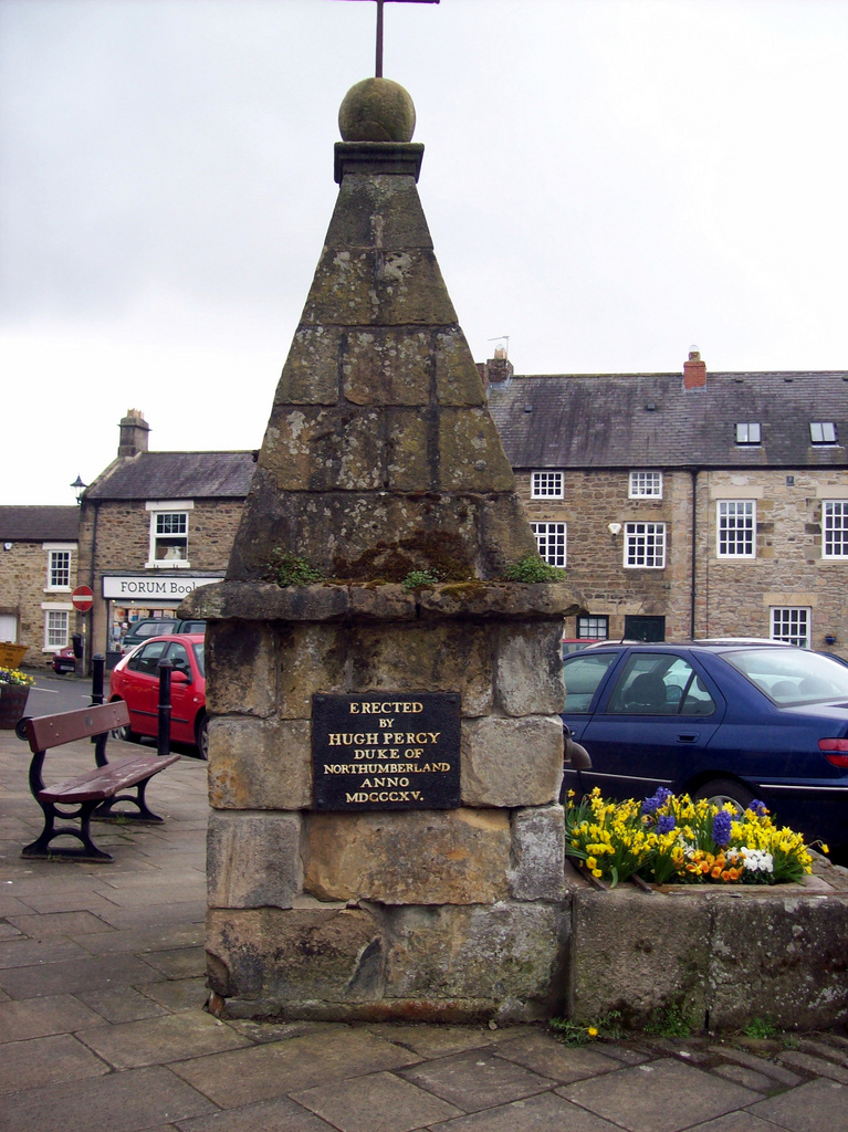
Market Cross, Corbridge
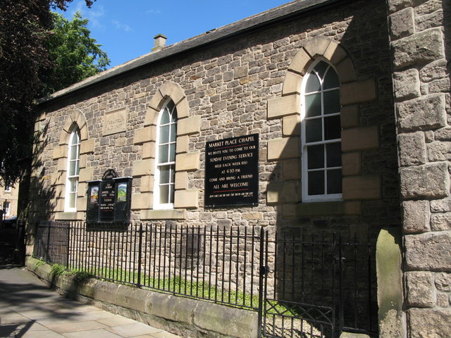
Market Place Chapel, Corbridge
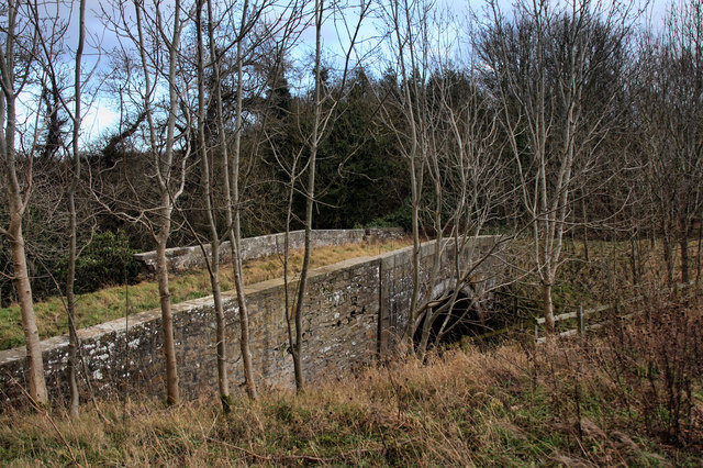
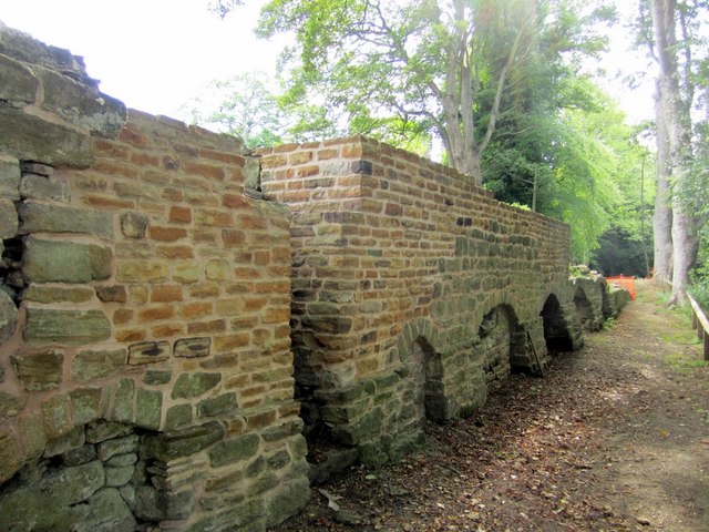
Old Bridge over Cor Burn, Corbridge
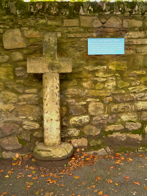
Old Market Cross, Corbridge
Old Mill by Cor Burn, Corbridge
Old Town Hall Buildings, Corbridge
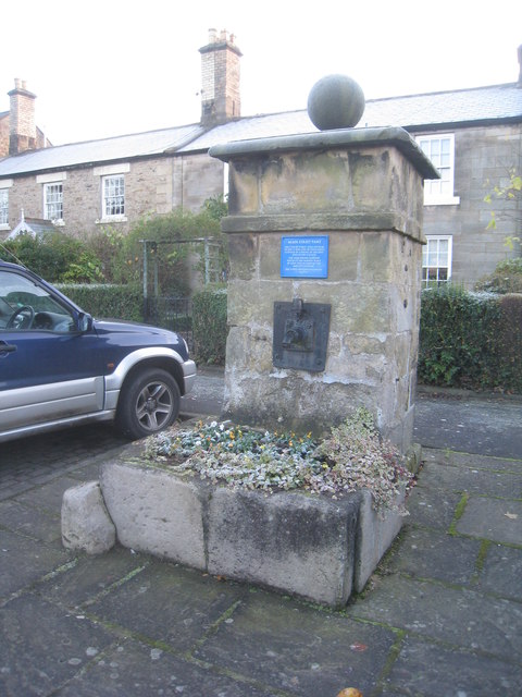
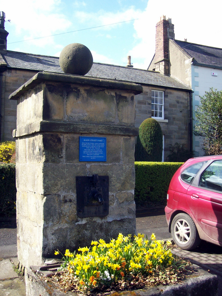
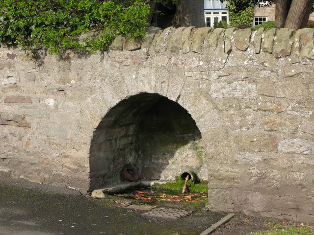
Pant, Main Street, Corbridge
Pant, Stagshaw Road, Corbridge
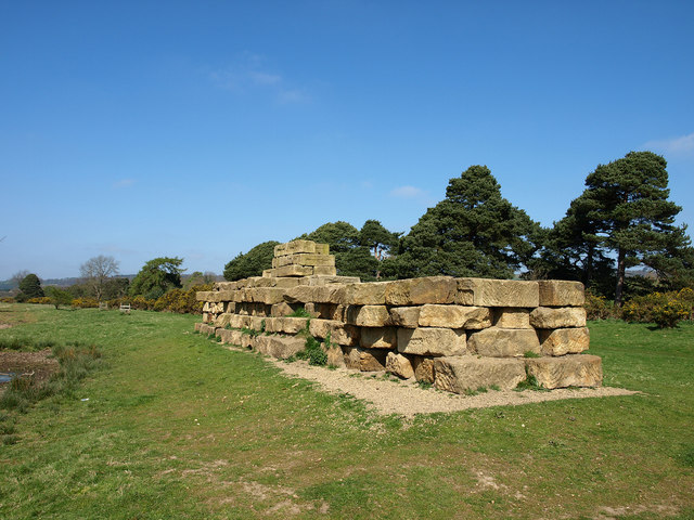
Roman Bridge at Corbridge
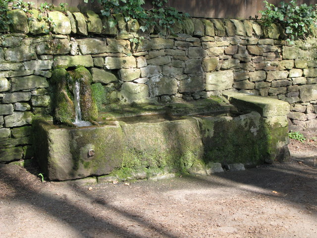
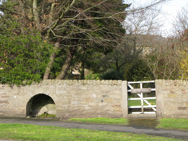
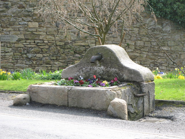
Spout Well, Corbridge
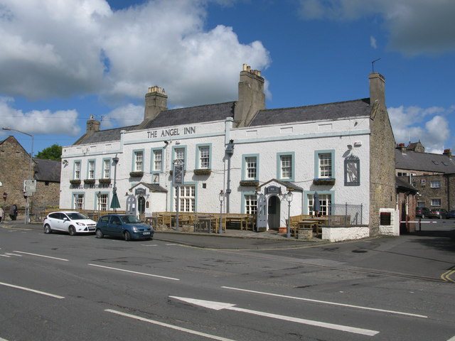
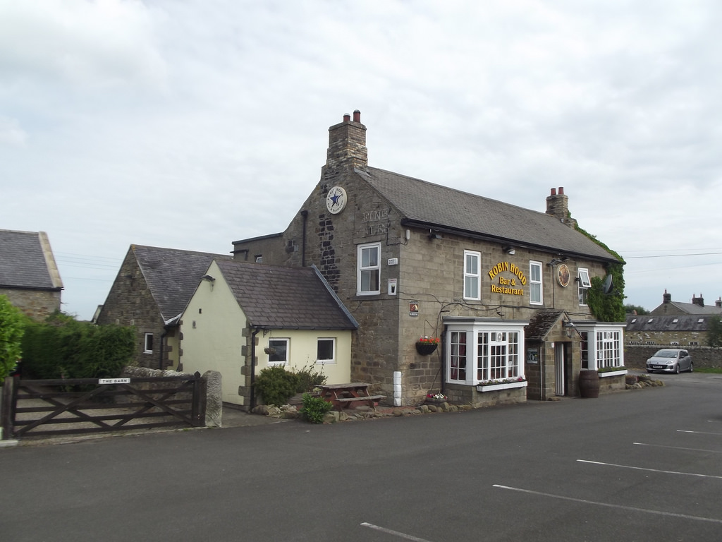
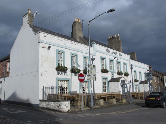
The Angel Inn, Corbridge
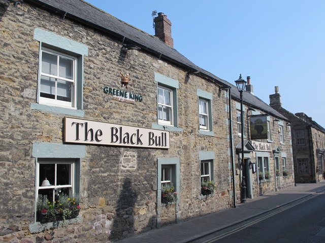
The Black Bull, Corbridge
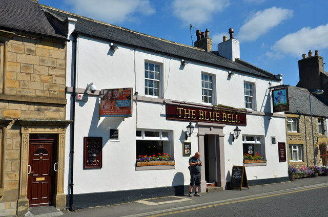
The Blue Bell pub, Corbridge
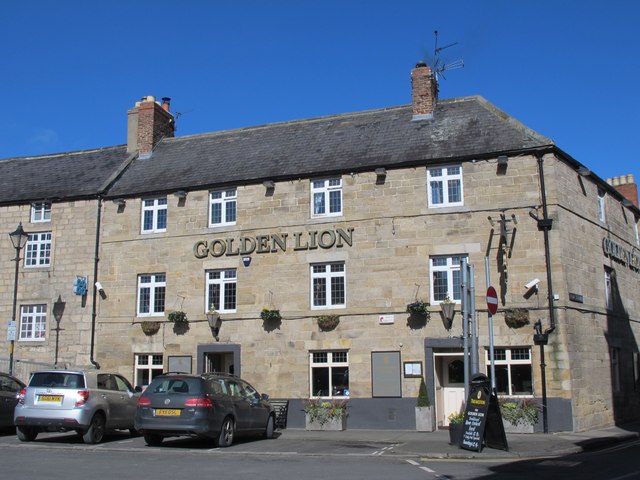
The Golden Lion, Corbridge
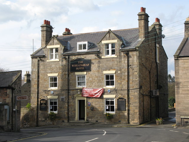
The Wheatsheaf Inn, Corbridge
Tyne Bridge, Corbridge