Topics > Geography > Rivers > River Skerne
River Skerne
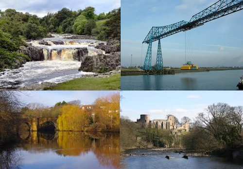
The Skerne is a tributary of the River Tees which flows through County Durham. The River Skerne is about 40 km long and begins in the hills near Trimdon and joints the River Tees at Hurworth Place.
Co-Curate Page
River Tees
- Overview Bridges Further Information The Tees is one of the major rivers in the North of England. It rises on Cross Fell in the North Pennines, and flows 137 km …
Co-Curate Page
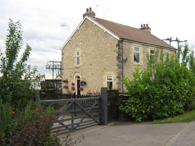
Trimdon
- "Trimdon has been the site of an established settlement since at least the 12th century and there has been documented evidence of archaeological discoveries dating from the Bronze Age onwards. …
Co-Curate Page
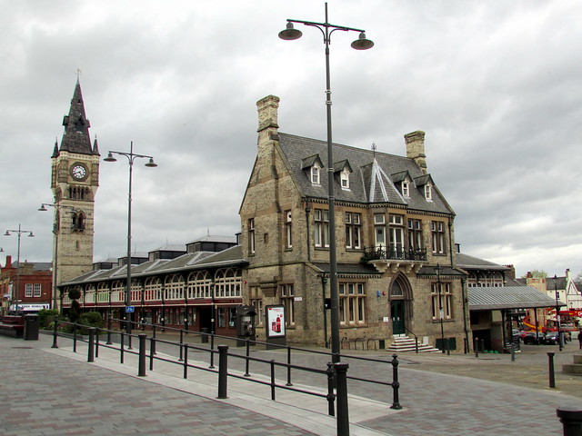
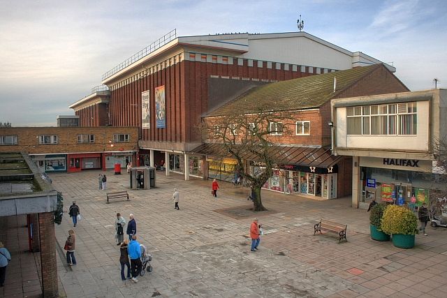
Darlington
- Overview History Timeline Map Street View Darlington is a large town located near the River Tees, and about 16 miles south of the city of Durham and 12 miles west of …
Co-Curate Page
Bishop Middleham
- Overview History Map Street View Bishop Middleham is a village near Sedgefield in County Durham. Bishop Middleham is thought to have Anglo-Saxon origins. There are earthwork ruins of Bishop Middleham Castle …
Co-Curate Page
Newton Aycliffe
- Overview About Newton Aycliffe Map Street View Newton Aycliffe is a town located about 5 miles north of Darlington in County Durham. It was established as New Town Aycliffe on 19th …
Co-Curate Page
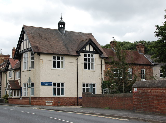
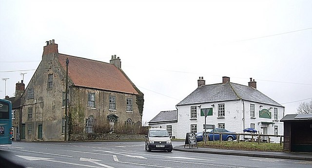
Hurworth Place
- Hurworth Place is a village in the Borough of Darlington in County Durham, on the boundry with North Yorkshire. It is situated on the northern bank of the River Tees, …
Co-Curate Page
Fishburn
- Overview About Fishburn Map Street View Fishburn is a village and civil parish in County Durham, in England. It is situated about 12 miles to the west of Hartlepool. …
Co-Curate Page
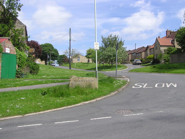
Brafferton
- Overview Map Street View Brafferton is a village located just over a mile south-east of Newton Aycliffe and 3 miles north of the town of Darlington. It is situated near …
Co-Curate Page
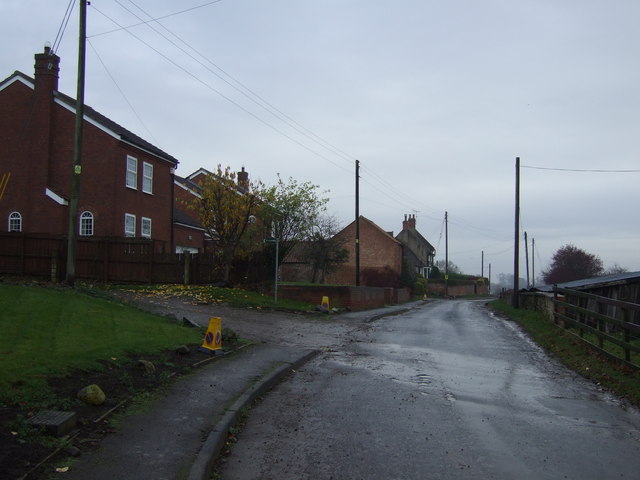
Barmpton
- Overview Map Street View Barmpton is a village in the Borough of Darlington and the ceremonial county of County Durham. It is situated by the River Skerne and located about …
Co-Curate Page
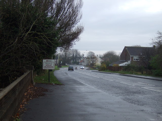
Great Burdon
- BURDON, GREAT, a township, in the parish of Haughton-le-Skerne, union, and S. E. division of the ward, of Darlington, S. division of the county of Durham, 2 miles (N.E. by …
Co-Curate Page
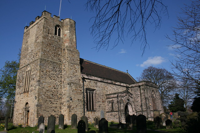
Haughton-le-Skerne
- Overview About Haughton-le-Skerne Map Street View Haughton-le-Skerne is a suburb of Darlington, located by the River Skerne, about a mile north-west of the town centre. It was a separate village …
Co-Curate Page
Aycliffe Village
- Overview About Aycliffe Village Map Street View Aycliffe Village is a village in County Durham, in England. It is situated immediately to the south of the town of Newton …
Co-Curate Page
Coatham Mundeville
- Overview Map Street View Coatham Mundeville is a village in the Borough of Darlington in County Durham. It is situated by the River Skerne near Brafferton, on the A167 between …

Co-Curate Page
Bradbury and the Isle Civil Parish
- Bradbury and the Isle Civil Parish in the south of County Durham is located between Sedgefield and Newton Aycliffe. The village of Bradbury is the largest settlement in the parish. 'The …
Co-Curate Page
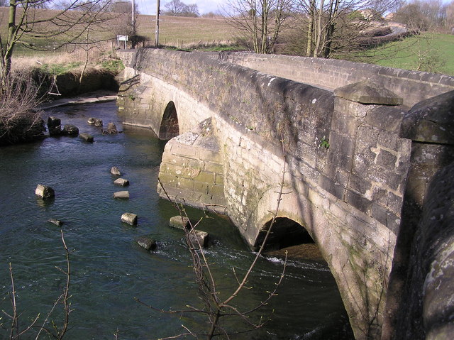
Ketton Packhorse Bridge
- Overview Map Ketton Packhorse Bridge is located off Ketton Lane, to the north of Darlington. The bridge dates from the late 17th or early 18th century and crossed the River …
Co-Curate Page
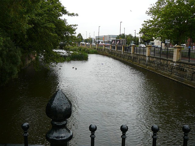
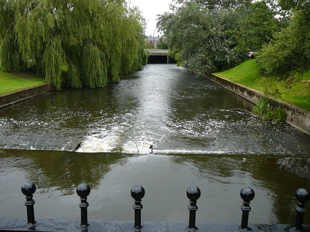
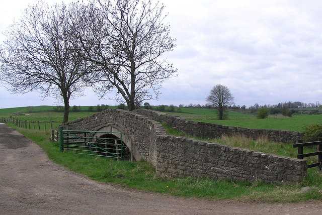
Mill Bridge, Coatham Munderville
- Overview Map Street View Mill Bridge is located east of Coatham Mundeville, and carries Brafferton Lane over the River Skerne. The stone bridge was built in 1861. The bridge straddles the …

from https://environment.data.gov.…
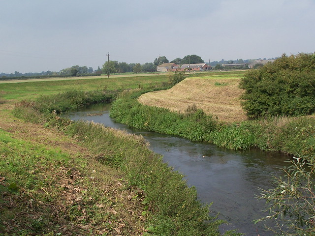
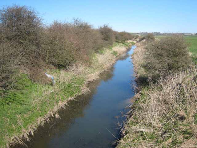
Skerne form Woodham Burn to Demons Beck
Added by
Simon Cotterill

Co-Curate Page
River Tees
- Overview Bridges Further Information The Tees is one of the major rivers in the North of England. It rises on Cross Fell in the North Pennines, and flows 137 km …
Co-Curate Page
Trimdon
- "Trimdon has been the site of an established settlement since at least the 12th century and there has been documented evidence of archaeological discoveries dating from the Bronze Age onwards. …
Co-Curate Page
Darlington
- Overview History Timeline Map Street View Darlington is a large town located near the River Tees, and about 16 miles south of the city of Durham and 12 miles west of …
Co-Curate Page
Bishop Middleham
- Overview History Map Street View Bishop Middleham is a village near Sedgefield in County Durham. Bishop Middleham is thought to have Anglo-Saxon origins. There are earthwork ruins of Bishop Middleham Castle …
Co-Curate Page
Newton Aycliffe
- Overview About Newton Aycliffe Map Street View Newton Aycliffe is a town located about 5 miles north of Darlington in County Durham. It was established as New Town Aycliffe on 19th …
Co-Curate Page
Hurworth Place
- Hurworth Place is a village in the Borough of Darlington in County Durham, on the boundry with North Yorkshire. It is situated on the northern bank of the River Tees, …
Co-Curate Page
Fishburn
- Overview About Fishburn Map Street View Fishburn is a village and civil parish in County Durham, in England. It is situated about 12 miles to the west of Hartlepool. …
Co-Curate Page
Brafferton
- Overview Map Street View Brafferton is a village located just over a mile south-east of Newton Aycliffe and 3 miles north of the town of Darlington. It is situated near …
Co-Curate Page
Barmpton
- Overview Map Street View Barmpton is a village in the Borough of Darlington and the ceremonial county of County Durham. It is situated by the River Skerne and located about …
Co-Curate Page
Great Burdon
- BURDON, GREAT, a township, in the parish of Haughton-le-Skerne, union, and S. E. division of the ward, of Darlington, S. division of the county of Durham, 2 miles (N.E. by …
Co-Curate Page
Haughton-le-Skerne
- Overview About Haughton-le-Skerne Map Street View Haughton-le-Skerne is a suburb of Darlington, located by the River Skerne, about a mile north-west of the town centre. It was a separate village …
Co-Curate Page
Aycliffe Village
- Overview About Aycliffe Village Map Street View Aycliffe Village is a village in County Durham, in England. It is situated immediately to the south of the town of Newton …
Co-Curate Page
Coatham Mundeville
- Overview Map Street View Coatham Mundeville is a village in the Borough of Darlington in County Durham. It is situated by the River Skerne near Brafferton, on the A167 between …
Co-Curate Page
Bradbury and the Isle Civil Parish
- Bradbury and the Isle Civil Parish in the south of County Durham is located between Sedgefield and Newton Aycliffe. The village of Bradbury is the largest settlement in the parish. 'The …
Co-Curate Page
Ketton Packhorse Bridge
- Overview Map Ketton Packhorse Bridge is located off Ketton Lane, to the north of Darlington. The bridge dates from the late 17th or early 18th century and crossed the River …
Co-Curate Page
Mill Bridge, Coatham Munderville
- Overview Map Street View Mill Bridge is located east of Coatham Mundeville, and carries Brafferton Lane over the River Skerne. The stone bridge was built in 1861. The bridge straddles the …
from https://environment.data.gov.…
Skerne form Woodham Burn to Demons Beck
Added by
Simon Cotterill