Topics > Geography > Rivers > River Deerness
River Deerness
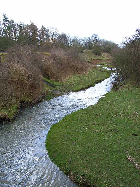
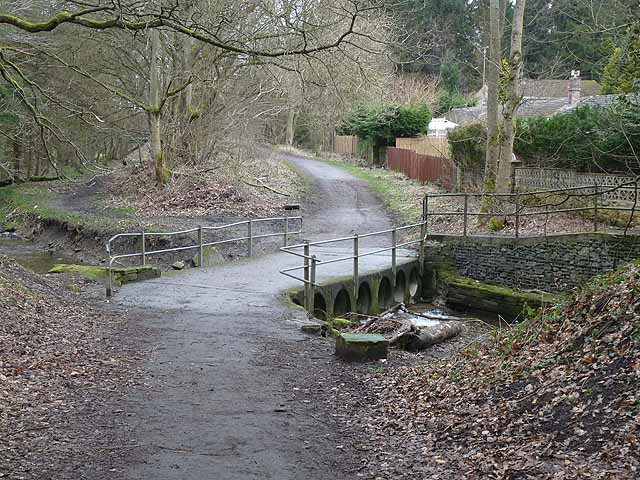
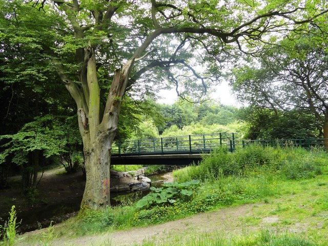
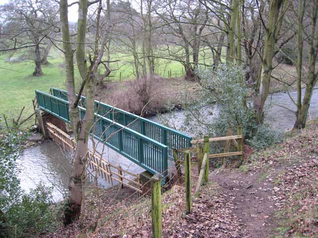
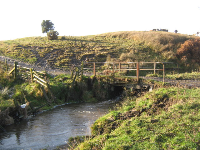
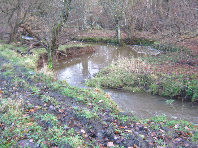
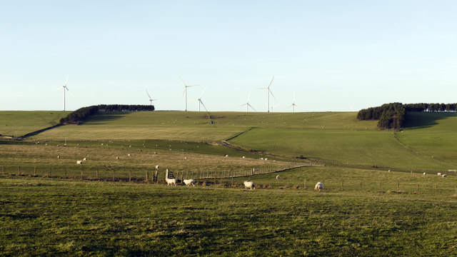
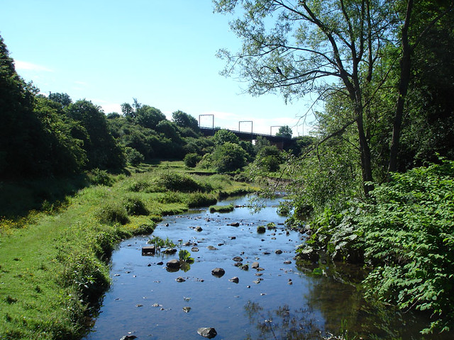
The Deerness is a river in County Durham. It is a tributary to the River Browney, which feeds into the River Wear. The River Deerness begins near Tow Law and meanders eastwards through Dearness Valley, fed by several small tributaries including Stanley Beck, Crow Gill, Cuddy Burn, Hedleyhope Burn, Rowley Burn, Holburn Beck and Red Burn. Overall the Deerness is 14.6 km long and its catchment area covers 53 km2.[1] The river flows by settlements including Waterhouses, Ushaw Moor and Esh Winning before joining the River Browney near Langley Moor. There has been a major restoration project to improve the water quality and remover barriers to fish migration on the Deerness.[1, 2, 3].
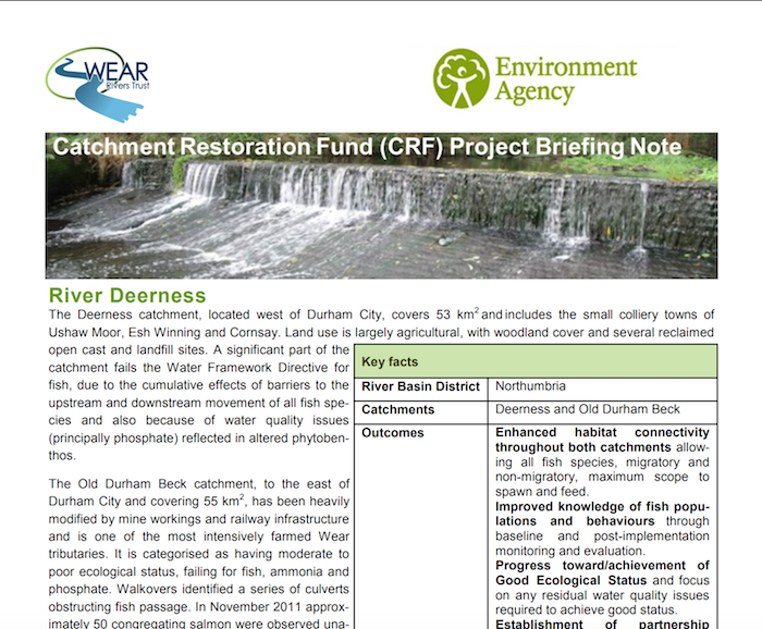
from https://restorerivers.eu/wiki…
River Deerness - Catchment Restoration Fund - Briefing Notes
- PDF report of 2012-2015 project. "The Deerness catchment, located west of Durham City, covers 53 km2 and includes the small colliery towns of Ushaw Moor, Esh Winning and Cornsay. Land …
Added by
Simon Cotterill

from https://www.chroniclelive.co.…
Temporary bridge to be installed over the River Deerness in a bid to end traffic misery
- Chronicle Live 17th May 2016. "The Deerness Bridge between Ushaw Moor and New Brancepeth in County Durham was closed amid safety fears last month...Traffic misery could end for motorists in …
Added by
Simon Cotterill
from http://www.wear-rivers-trust.…
River Deerness Restoration Project
- "he ongoing River Deerness Restoration Project aims to restore habitat connectivity for fish species by creating and monitoring fish passage solutions at a series of manmade barriers on a major …
Added by
Simon Cotterill
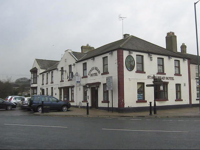
Co-Curate Page
Esh Winning
- Overview About Esh Winning Map Street View Esh Winning is a village, and location of a former colliery, in County Durham, England. It is situated in the Deerness Valley …
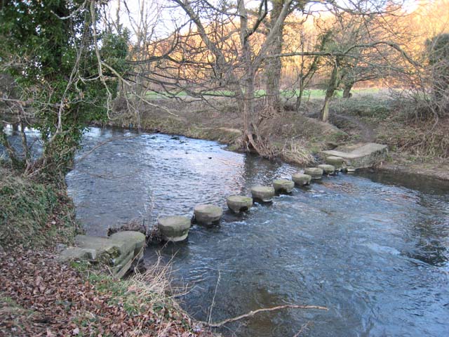
Co-Curate Page
River Browney
- Overview About The River Browney The Browney is a river in County Durham and is the largest tributary of the River Wear. It arises from a spring on Skaylock Hill, …
Co-Curate Page
River Wear
- Overview Geology Course Tributaries Industrial History The Wear is a major river in County Durham. It rises in the East Penines at Wearhead at the confluence of Burnhope Burn and …

Co-Curate Page
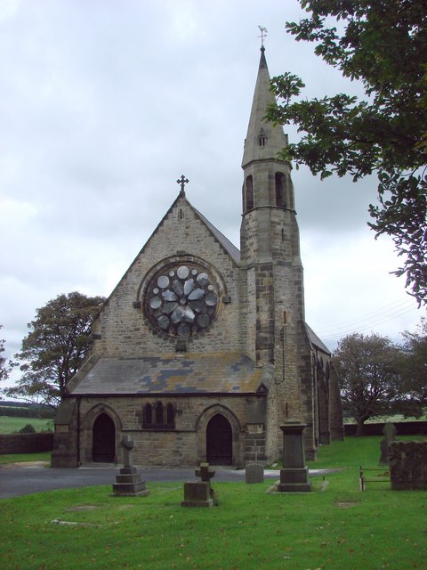
Ushaw Moor
- Overview About Ushaw Moor Map Street View Ushaw Moor is an old pit village in County Durham, in England, on the north side of the River Deerness. It is …
Co-Curate Page
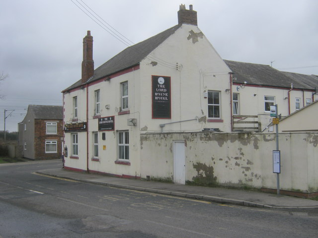
Tow Law
- Overview About Tow Law Map Street View Tow Law is a town in County Durham, located about 8 miles north-west of Bishop Auckland and 9 miles south-west of Durham. Before …
Co-Curate Page
Langley Moor
- Overview About Langley Moor Map Street View Langley Moor is a former mining village in County Durham, England. It lies between Brandon, Meadowfield and the Neville's Cross area of …

from https://doi.org/10.1016/j.sci…
Evaluating the effectiveness of restoring longitudinal connectivity for stream fish communities: towards a more holistic approach
- Journal article: Tummers, Jeroen S., Hudson, Steve, Lucas, Martyn C. Evaluating the effectiveness of restoring longitudinal connectivity for stream fish communities: towards a more holistic approach. Science of The Total …
Added by
Simon Cotterill
Co-Curate Page
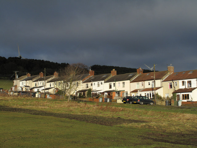
East Hedleyhope
- Overview Map Street View East Hedleyhope (aka East Hedley Hope) is a village in County Durham, located about 7 miles west of Durham City and 7 miles north of Bishop …


from https://restorerivers.eu/wiki…
River Deerness - Catchment Restoration Fund - Briefing Notes
- PDF report of 2012-2015 project. "The Deerness catchment, located west of Durham City, covers 53 km2 and includes the small colliery towns of Ushaw Moor, Esh Winning and Cornsay. Land …
Added by
Simon Cotterill

from https://www.chroniclelive.co.…
Temporary bridge to be installed over the River Deerness in a bid to end traffic misery
- Chronicle Live 17th May 2016. "The Deerness Bridge between Ushaw Moor and New Brancepeth in County Durham was closed amid safety fears last month...Traffic misery could end for motorists in …
Added by
Simon Cotterill

from http://www.wear-rivers-trust.…
River Deerness Restoration Project
- "he ongoing River Deerness Restoration Project aims to restore habitat connectivity for fish species by creating and monitoring fish passage solutions at a series of manmade barriers on a major …
Added by
Simon Cotterill

Co-Curate Page
Esh Winning
- Overview About Esh Winning Map Street View Esh Winning is a village, and location of a former colliery, in County Durham, England. It is situated in the Deerness Valley …

Co-Curate Page
River Browney
- Overview About The River Browney The Browney is a river in County Durham and is the largest tributary of the River Wear. It arises from a spring on Skaylock Hill, …

Co-Curate Page
River Wear
- Overview Geology Course Tributaries Industrial History The Wear is a major river in County Durham. It rises in the East Penines at Wearhead at the confluence of Burnhope Burn and …

Co-Curate Page
Ushaw Moor
- Overview About Ushaw Moor Map Street View Ushaw Moor is an old pit village in County Durham, in England, on the north side of the River Deerness. It is …

Co-Curate Page
Tow Law
- Overview About Tow Law Map Street View Tow Law is a town in County Durham, located about 8 miles north-west of Bishop Auckland and 9 miles south-west of Durham. Before …

Co-Curate Page
Langley Moor
- Overview About Langley Moor Map Street View Langley Moor is a former mining village in County Durham, England. It lies between Brandon, Meadowfield and the Neville's Cross area of …

from https://doi.org/10.1016/j.sci…
Evaluating the effectiveness of restoring longitudinal connectivity for stream fish communities: towards a more holistic approach
- Journal article: Tummers, Jeroen S., Hudson, Steve, Lucas, Martyn C. Evaluating the effectiveness of restoring longitudinal connectivity for stream fish communities: towards a more holistic approach. Science of The Total …
Added by
Simon Cotterill


