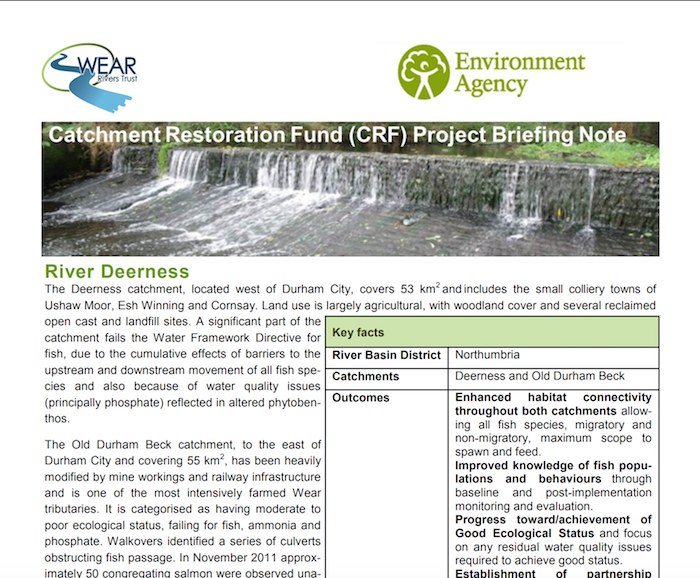
River Deerness - Catchment Restoration Fund - Briefing Notes


-
Description
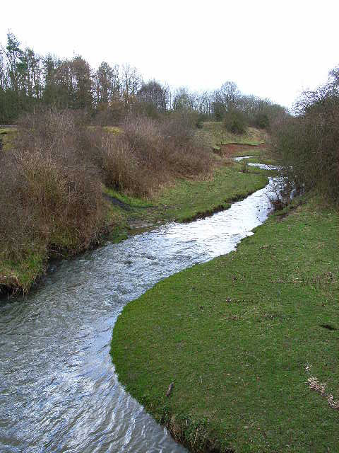
PDF report of 2012-2015 project. "The Deerness catchment, located west of Durham City, covers 53 km2 and includes the small colliery towns of Ushaw Moor, Esh Winning and Cornsay. Land use is largely agricultural, with woodland cover and several reclaimed open cast and landfill sites. A significant part of the catchment fails the Water Framework Directive for fish, due to the cumulative effects of barriers to the upstream and downstream movement of all fish species and also because of water quality issues (principally phosphate) reflected in altered phytobenthos. The Old Durham Beck catchment, to the east of Durham City and covering 55 km2 , has been heavily modified by mine workings and railway infrastructure and is one of the most intensively farmed Wear tributaries....." -
Owner
Restoring Euope's Rivers Wiki -
Source
Local (Co-Curate) -
License
What does this mean? Unknown license check permission to reuse
-
Further information
Link: https://restorerivers.eu/wiki/images/d/d2/CRF020_Project_Briefing_Note_-_Deerness.pdf
Resource type: Text/Website
Added by: Simon Cotterill
Last modified: 8 years, 3 months ago
Viewed: 884 times
Picture Taken: Unknown -
Co-Curate tags


