Topics > Geography > Rivers > River Browney
River Browney
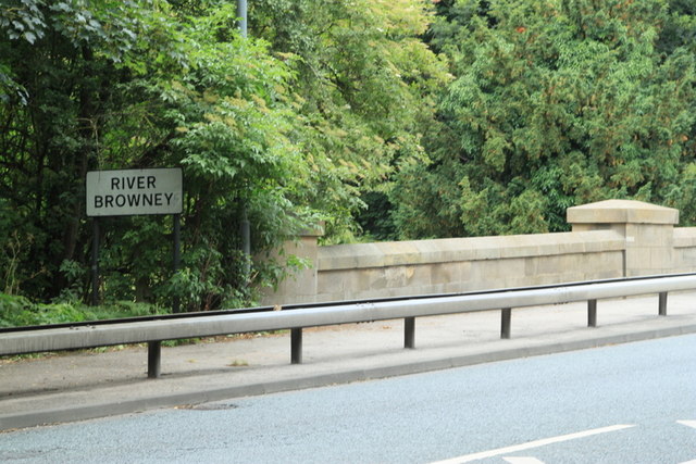
The River Browney is a river in County Durham, England, and the largest tributary of the River Wear.
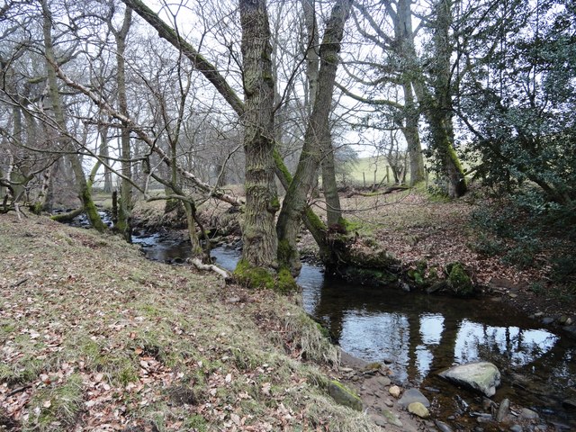
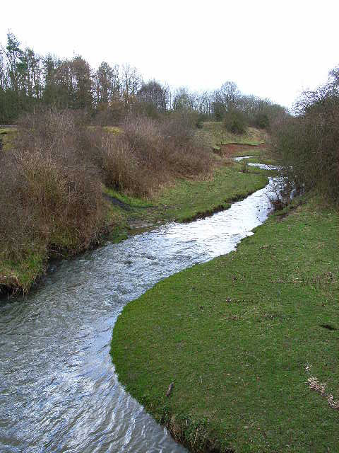
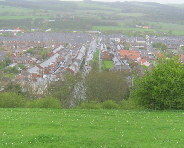
The River Browney rises from a spring in Head Plantation, on the eastern slope of Skaylock Hill, about a mile south east of Waskerley. The spring rises approximately 500 metres from a tributary stream to the River Wear, in an area of moorland, forestry and springs, and of disused coal mines, quarries and mineral railway lines, remnants of an industrial past. Running eastwards towards Lanchester, the river skirts to the south of the village. Continuing eastwards past Langley Park and Witton Gilbert, the river then turns south and skirts the western edge of Durham. The Browney is joined by the River Deerness north of Langley Moor and finally joins the Wear to the south of Durham, close to Sunderland Bridge. Until the last Ice Age, the Browney entered the River Wear just north of Durham City, in Pelaw Woods.
The Browney was contaminated by local industry, particularly lead and coal mining, but has recovered in recent years. The river was stocked with around 3000 grayling in September 2006.
Legend has it that following his defeat at Neville's Cross in 1346, King David II of Scotland was captured having sought shelter under a bridge over the Browney at Bearpark, close by where his Scottish soldiers had camped overnight beneath Beaurepaire Priory.
Andrew Breeze has argued that the river name forms the first element of 'Brunanburh', in the Battle of Brunanburh. He interprets 'Brunanburh' as 'stronghold of the Browney', referring to the Roman fort of Longovicium.
Visit the page: River Browney for references and further details. You can contribute to this article on Wikipedia.
Co-Curate Page
River Wear
- Overview Geology Course Tributaries Industrial History The Wear is a major river in County Durham. It rises in the East Penines at Wearhead at the confluence of Burnhope Burn and …
from Geograph (geograph)
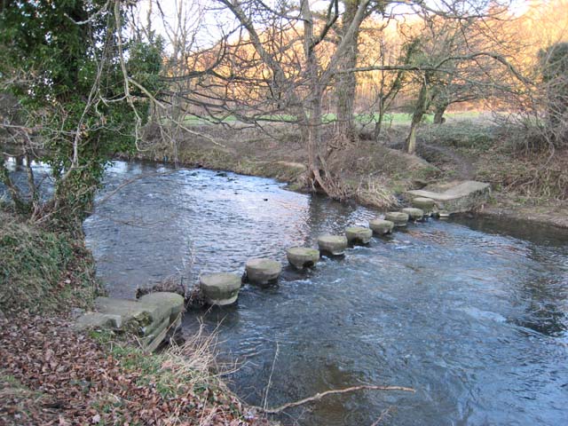
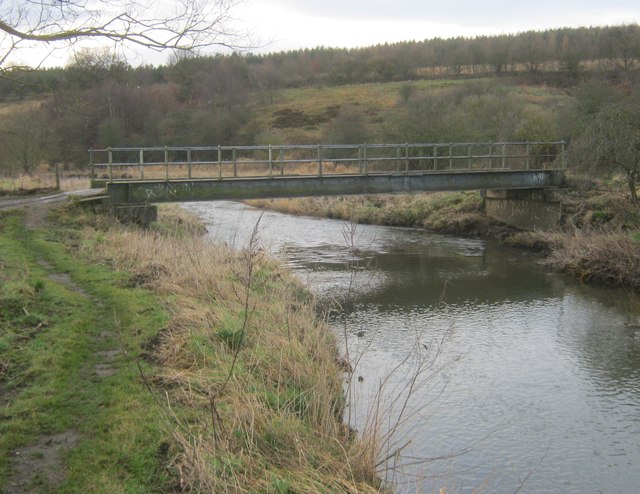
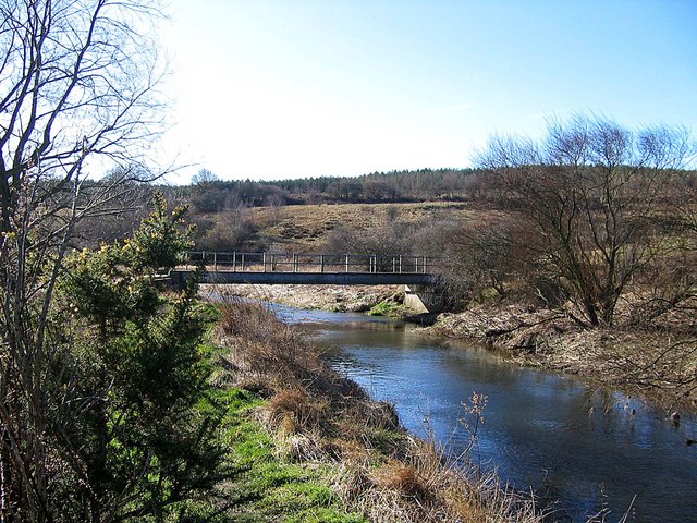
Farmers bridge carrying a footpath over the River Browney
Pinned by Peter Smith

from http://environment.data.gov.u…
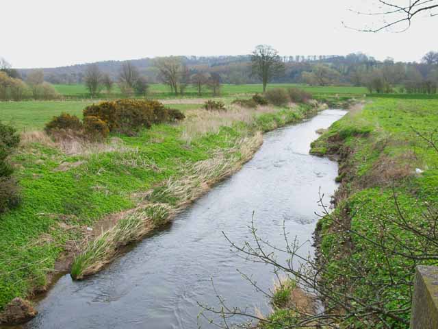
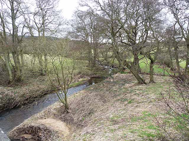
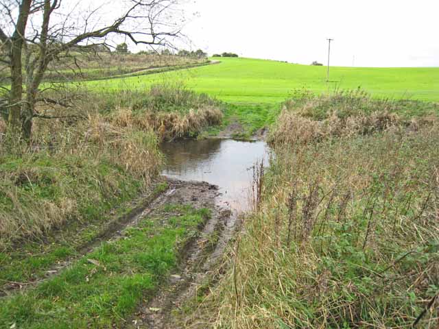
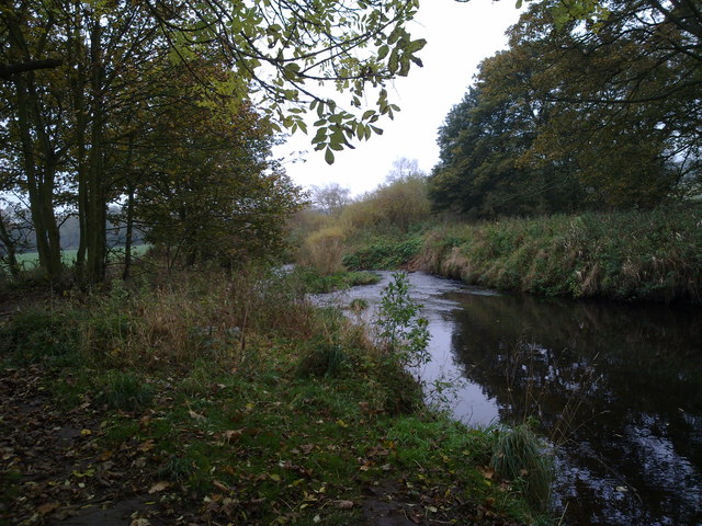
Browney from Pan Burn to Smallhope Burn
Added by
Simon Cotterill
from http://environment.data.gov.u…
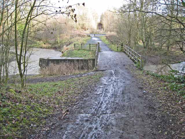
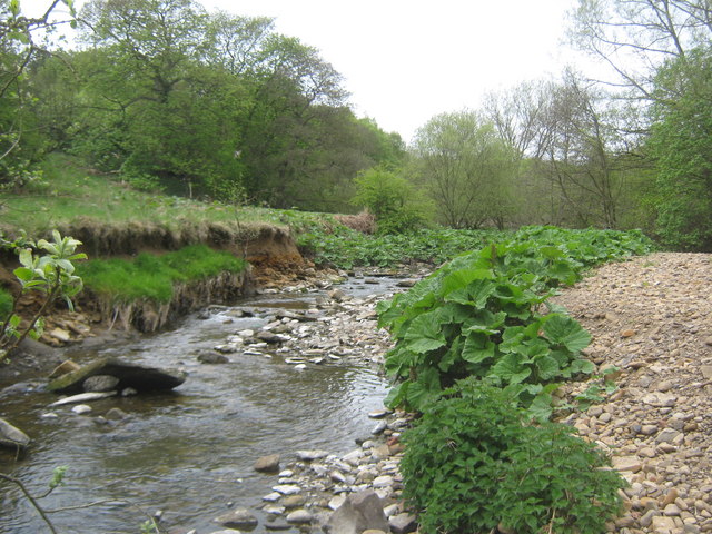
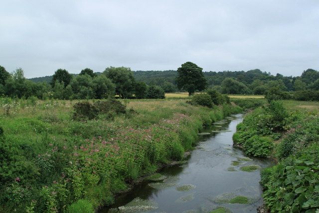
Browney from Smallhope Burn Deerness confl
Added by
Simon Cotterill
from Geograph (geograph)
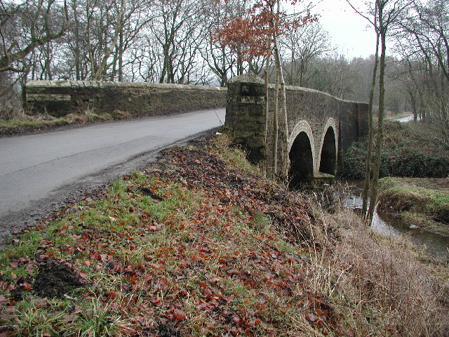
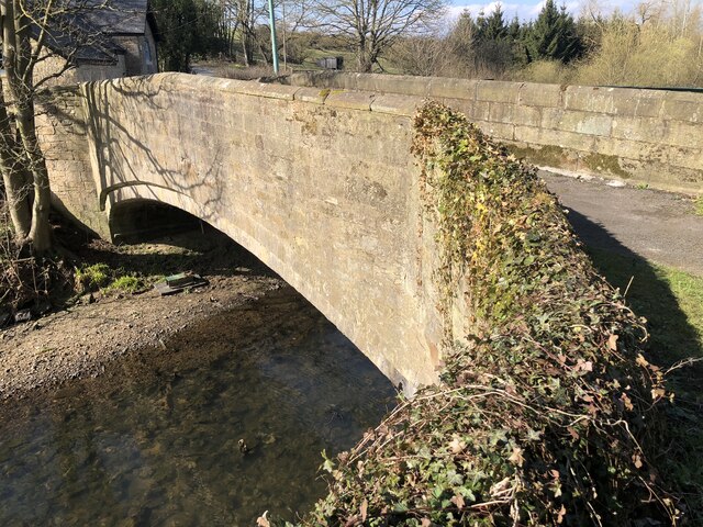
Partridgeclose Mill Bridge over the River Browney
Pinned by Simon Cotterill

Co-Curate Page
Moorsley Banks
- Overview Map Street View Moorsley Banks is a hamlet and farm in County Durham, located near Nevilles Cross and about 1 mile west of the centre of Durham. There was …
Co-Curate Page
Aldin Grange Bridge
- Overview Map Street View Aldin Grange Bridge over the River Browney is located east of Bearpark. The bridge dates from the 15th century. It is now a pedestrian bridge, since …

Co-Curate Page
River Wear
- Overview Geology Course Tributaries Industrial History The Wear is a major river in County Durham. It rises in the East Penines at Wearhead at the confluence of Burnhope Burn and …
from Geograph (geograph)
Farmers bridge carrying a footpath over the River Browney
Pinned by Peter Smith
from http://environment.data.gov.u…
Browney from Pan Burn to Smallhope Burn
Added by
Simon Cotterill
from http://environment.data.gov.u…
Browney from Smallhope Burn Deerness confl
Added by
Simon Cotterill
from Geograph (geograph)
Partridgeclose Mill Bridge over the River Browney
Pinned by Simon Cotterill
Co-Curate Page
Moorsley Banks
- Overview Map Street View Moorsley Banks is a hamlet and farm in County Durham, located near Nevilles Cross and about 1 mile west of the centre of Durham. There was …