Topics > Industry and Work > Mining > Lead Mining and Smelting
Lead Mining and Smelting

from http://www.killhope.org.uk/
Killhope - North of England Lead Mining Museum
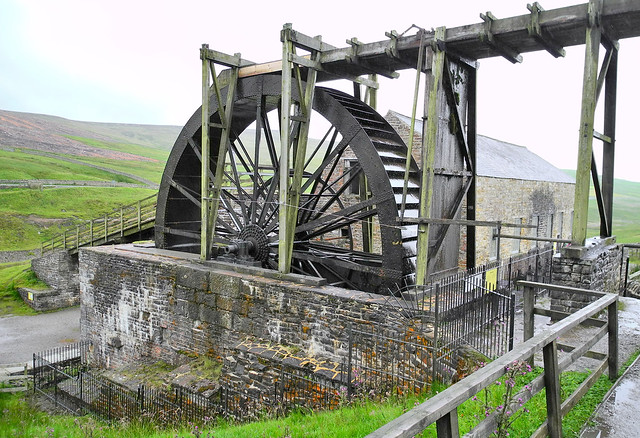
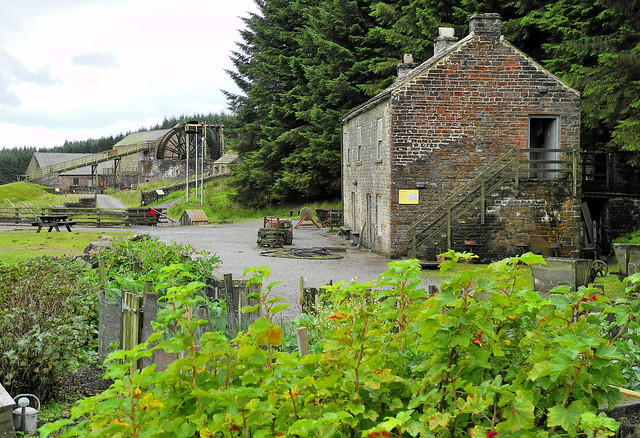
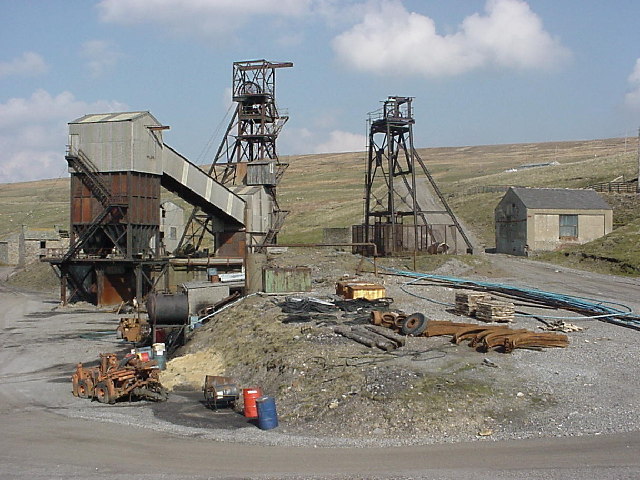
- "Killhope is the best preserved lead mining site in Britain and is at the heart of what was the largest lead mining area, in the North Pennines.
The museum is …
Added by
Simon Cotterill
from Flickr (flickr)
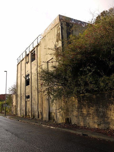
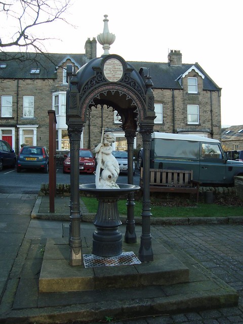
Middleton - in - Teesdale ... erected by Mr. Bainbridge in lead mining days.
Pinned by Simon Cotterill
Co-Curate Page
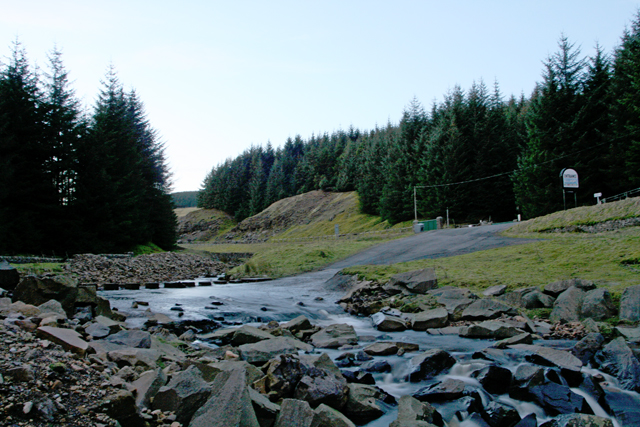
North of England Lead Mining Museum
- Overview About the Museum Map Street View The North of England Lead Mining Museum (also known as Killhope) is based on the site of the former Park Level Mine. It …
Co-Curate Page
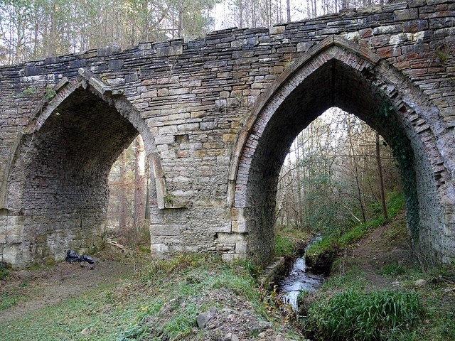
Dukesfield Lead Smelting Mill
- "The Dukesfield lead smelting mill was in operation from around 1666 until 1835. Located between the lead veins of the high Pennine hills and the markets and wharves of Newcastle …
Co-Curate Page
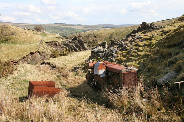
Greenlaws Mine and Reservoir, Daddry Shield
- Greenlaws mine was a Victorian lead mine on the hillside south of Daddry Shield in Weardale, Co. Durham. Two veins were mined; a weaker vein to the west and a …
Co-Curate Page
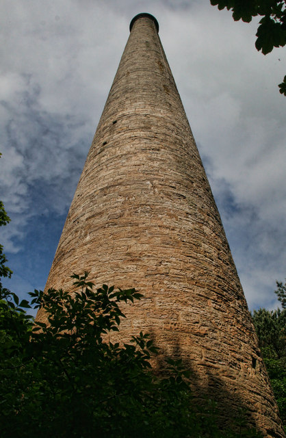
Gaunless Lead Mill, Copley
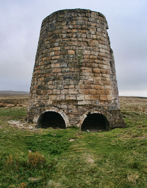
- The lead smelting mill chimney, in woods to the south of Copley, was built in the early 19th Century, for the 3rd Earl of Darlington. The chimney is Grade II …
Co-Curate Page
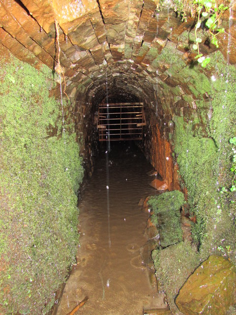
Tynebottom Mine, near Garrigill
- Tynebottom is a former lead mine at Redwig by the River South Tyne, about half a mile north-west of Garrigill in Cumbria - seen from the route of the Pennine Way. Tynebottom …
Co-Curate Page
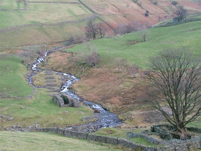
Myers Head Lead Mine
- The remains of Myers Head Lead Mine are located by the confluence of Pasture Beck and Hayeswater Gill, south-east of Hartsop in the Eden district of Cumbria.
Co-Curate Page
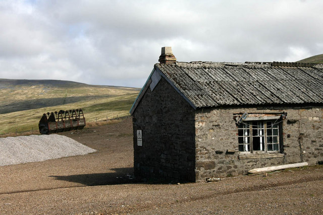
Silverband Mine
- Silverband Mine was located on Great Dun Fell, about 3 miles north-east of the village of Milburn in Cumbria. There had been lead mining in the area since the 14th …
Co-Curate Page
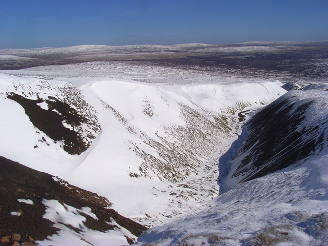
Hushing
- Overview About Hushing Hushing was a method of mining on steep hillsides used from Roman times or earlier, up to the 19th Century. A dam would be built near the …

Co-Curate Page
Kinniside Mine
- Kinniside Mine was located near Hazel Holme in the Kinniside area of Cumberland (now Cumbria). KINNEYSIDE, a township, in the parish of St. Bees, union of Whitehaven, Allerdale ward above …
Co-Curate Page
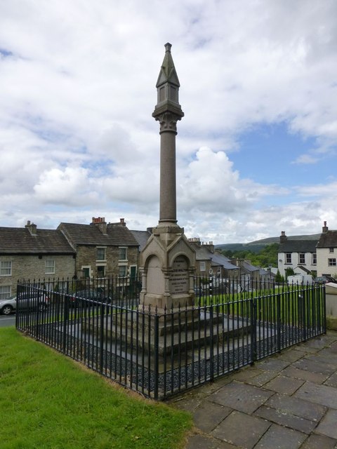
Walton Monument, Alston
- Overview Map Street View The Walton Monument in Alston is a 5 metre high granite column, built in honour of mining engineer and proprietor, Jacob Walton (1809 -1863), who played …
Co-Curate Page
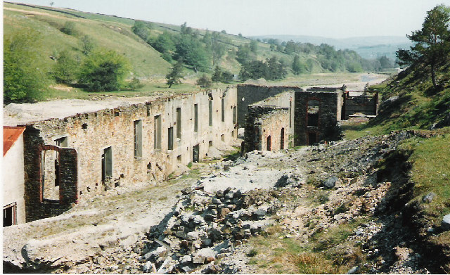
Rotherhope Fell Mine
- Overview Map (area 1) Map (area 2) "...The monument, which is divided into two areas, is situated on the north east side of Rotherhope Fell above Black Burn. It includes …
Co-Curate Page
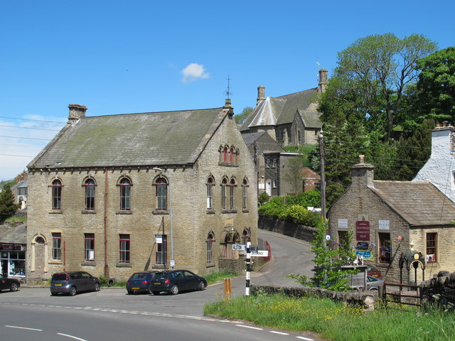
Nenthead
- Overview About Nenthead Map Street View Nenthead is a village in the Eden district of Cumbria, located about 4 miles south-east of Alston. Nenthead is situated by the River Nent and the smaller …
Co-Curate Page
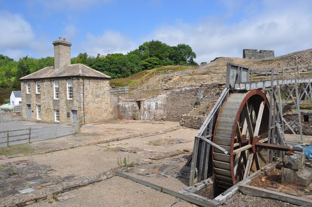
Nenthead Mines
- Overview Map Street View "Nenthead Mines is a historic place at Nenthead, near Alston, in Cumbria, UK. This remote valley is covered by remains from the lead and zinc mining …
Co-Curate Page
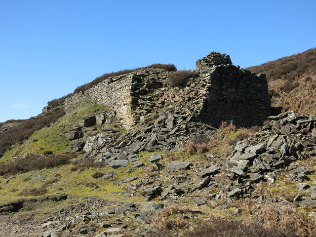
Beldon lead mine and ore works
- Overview Map The remains of Beldon lead mine and ore works are situated on two levels in the valley of Beldon Burn at Beldon Shield. The visible remains of the …

Co-Curate Page
Ropehaugh (Dirt Pot)
- Overview Map Street View Ropehaugh (Dirt Pot) is a hamlet in Northumberland, located about half mile north-west of Allenheads and within the North Pennines AONB. It is a linear settlement, …

Co-Curate Page
Sipton Mine
- This was a lead mine at Sipton, located on the Sipton Vein, about 1km north of St. Peter's Mine in Spartylea. It was situated near the confluence of Sipton Burn …

Co-Curate Page
Langley Barony Lead Mine
- Overview Map The remains of Langley Barony Mines are located about 2½ miles north-west of Haydon Bridge. The mine, with several adict shafts, covered a wide geographical area and is …
Co-Curate Page
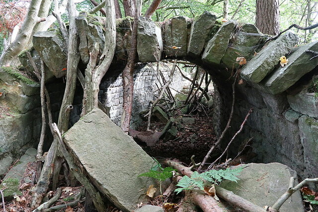
Langley & Blaghill Lead Smelt Mills
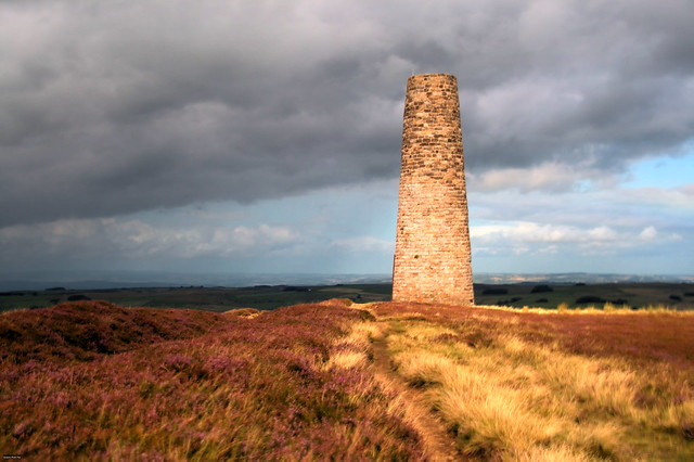
- Langley and Blagill were adjacent lead smeltmills, sharing a massive, long horizontal flue system leading to the prominent Stublick Chimney to disperse poisonous fumes. The Langley smelt mill was built …


from http://www.killhope.org.uk/
Killhope - North of England Lead Mining Museum
- "Killhope is the best preserved lead mining site in Britain and is at the heart of what was the largest lead mining area, in the North Pennines.
The museum is …
Added by
Simon Cotterill

from Flickr (flickr)
Middleton - in - Teesdale ... erected by Mr. Bainbridge in lead mining days.
Pinned by Simon Cotterill

Co-Curate Page
North of England Lead Mining Museum
- Overview About the Museum Map Street View The North of England Lead Mining Museum (also known as Killhope) is based on the site of the former Park Level Mine. It …

Co-Curate Page
Dukesfield Lead Smelting Mill
- "The Dukesfield lead smelting mill was in operation from around 1666 until 1835. Located between the lead veins of the high Pennine hills and the markets and wharves of Newcastle …

Co-Curate Page
Greenlaws Mine and Reservoir, Daddry Shield
- Greenlaws mine was a Victorian lead mine on the hillside south of Daddry Shield in Weardale, Co. Durham. Two veins were mined; a weaker vein to the west and a …

Co-Curate Page
Gaunless Lead Mill, Copley
- The lead smelting mill chimney, in woods to the south of Copley, was built in the early 19th Century, for the 3rd Earl of Darlington. The chimney is Grade II …

Co-Curate Page
Tynebottom Mine, near Garrigill
- Tynebottom is a former lead mine at Redwig by the River South Tyne, about half a mile north-west of Garrigill in Cumbria - seen from the route of the Pennine Way. Tynebottom …

Co-Curate Page
Myers Head Lead Mine
- The remains of Myers Head Lead Mine are located by the confluence of Pasture Beck and Hayeswater Gill, south-east of Hartsop in the Eden district of Cumbria.

Co-Curate Page
Silverband Mine
- Silverband Mine was located on Great Dun Fell, about 3 miles north-east of the village of Milburn in Cumbria. There had been lead mining in the area since the 14th …

Co-Curate Page
Hushing
- Overview About Hushing Hushing was a method of mining on steep hillsides used from Roman times or earlier, up to the 19th Century. A dam would be built near the …

Co-Curate Page
Kinniside Mine
- Kinniside Mine was located near Hazel Holme in the Kinniside area of Cumberland (now Cumbria). KINNEYSIDE, a township, in the parish of St. Bees, union of Whitehaven, Allerdale ward above …

Co-Curate Page
Walton Monument, Alston
- Overview Map Street View The Walton Monument in Alston is a 5 metre high granite column, built in honour of mining engineer and proprietor, Jacob Walton (1809 -1863), who played …

Co-Curate Page
Rotherhope Fell Mine
- Overview Map (area 1) Map (area 2) "...The monument, which is divided into two areas, is situated on the north east side of Rotherhope Fell above Black Burn. It includes …

Co-Curate Page
Nenthead
- Overview About Nenthead Map Street View Nenthead is a village in the Eden district of Cumbria, located about 4 miles south-east of Alston. Nenthead is situated by the River Nent and the smaller …

Co-Curate Page
Nenthead Mines
- Overview Map Street View "Nenthead Mines is a historic place at Nenthead, near Alston, in Cumbria, UK. This remote valley is covered by remains from the lead and zinc mining …

Co-Curate Page
Beldon lead mine and ore works
- Overview Map The remains of Beldon lead mine and ore works are situated on two levels in the valley of Beldon Burn at Beldon Shield. The visible remains of the …

Co-Curate Page
Ropehaugh (Dirt Pot)
- Overview Map Street View Ropehaugh (Dirt Pot) is a hamlet in Northumberland, located about half mile north-west of Allenheads and within the North Pennines AONB. It is a linear settlement, …

Co-Curate Page
Sipton Mine
- This was a lead mine at Sipton, located on the Sipton Vein, about 1km north of St. Peter's Mine in Spartylea. It was situated near the confluence of Sipton Burn …

Co-Curate Page
Langley Barony Lead Mine
- Overview Map The remains of Langley Barony Mines are located about 2½ miles north-west of Haydon Bridge. The mine, with several adict shafts, covered a wide geographical area and is …

