Topics > Cumbria > Hartsop > Myers Head Lead Mine
Myers Head Lead Mine
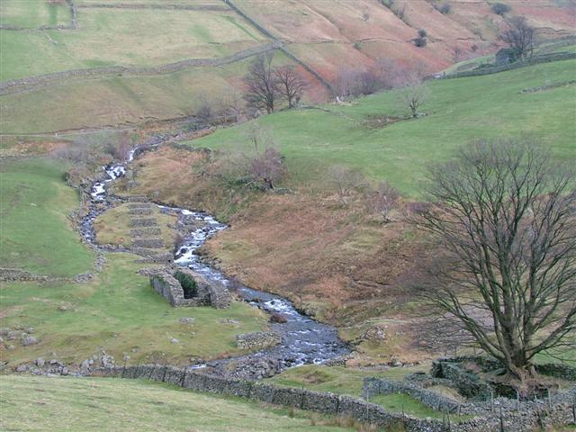
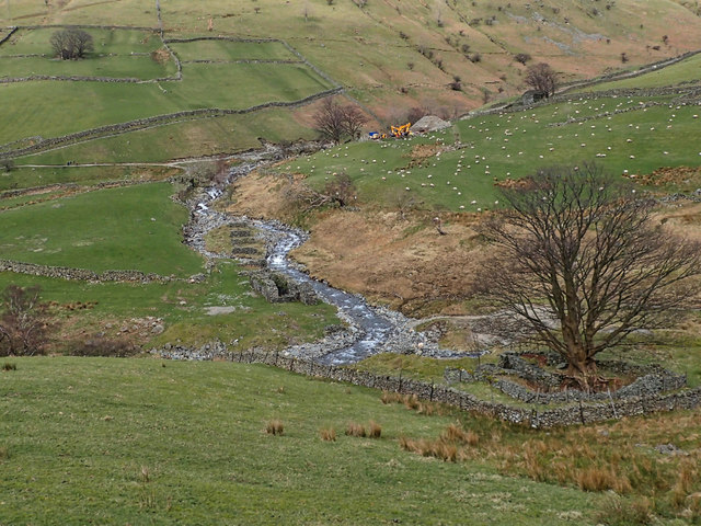
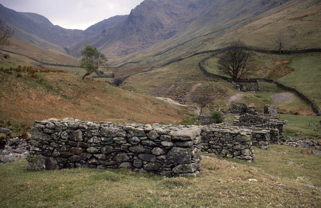
The remains of Myers Head Lead Mine are located by the confluence of Pasture Beck and Hayeswater Gill, south-east of Hartsop in the Eden district of Cumbria.


from https://historicengland.org.u…
Myers Head lead mine
- ".....The monument includes the remains of Myers Head lead mine, a 19th century mine located approximately 800m south east of Hartsop at the confluence of Hayeswater Gill and Pasture Beck. …
Added by
Simon Cotterill

from https://historicengland.org.u…
Myers Head lead mine
- ".....The monument includes the remains of Myers Head lead mine, a 19th century mine located approximately 800m south east of Hartsop at the confluence of Hayeswater Gill and Pasture Beck. …
Added by
Simon Cotterill