Topics > Northumberland > Ropehaugh (Dirt Pot)
Ropehaugh (Dirt Pot)
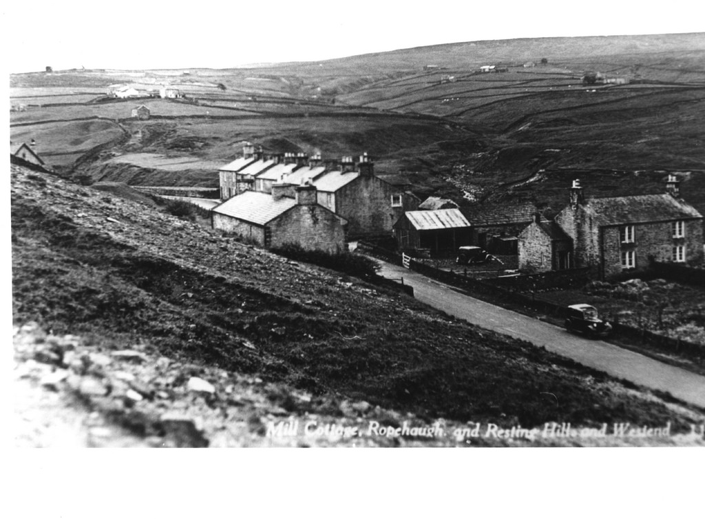
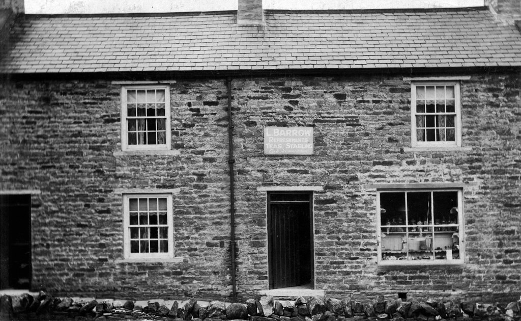
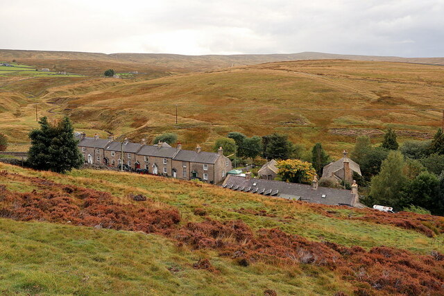
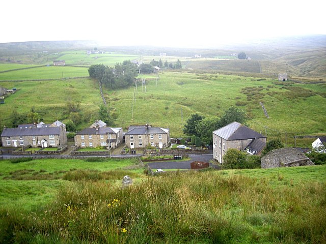
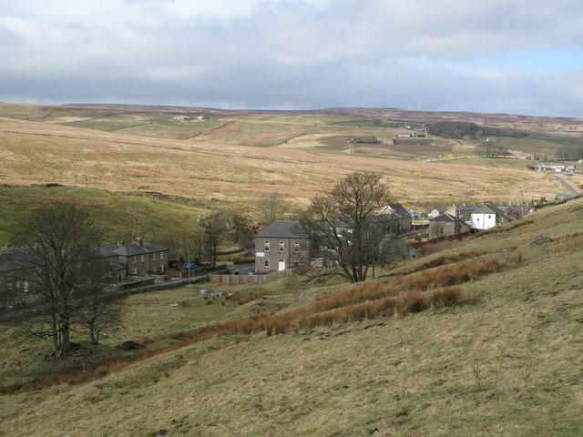
Ropehaugh (Dirt Pot) is a hamlet in Northumberland, located about half mile north-west of Allenheads and within the North Pennines AONB. It is a linear settlement, spread along a road thar runs close to the young River East Allen. The road forms part of National Cycle Route No. 7. In 1547, 'Dirtpotsheele' was recorded as a possession the Manor of Hexham. However, it was in the 19th century when a significant settlement developed here, associated with lead mining. It is located close to the site of the former Allenheads Smelt Mill. There was also a quarry nearby. The settlement is part of Allendale Civil Parish.
from Geograph (geograph)
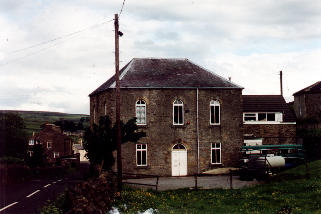
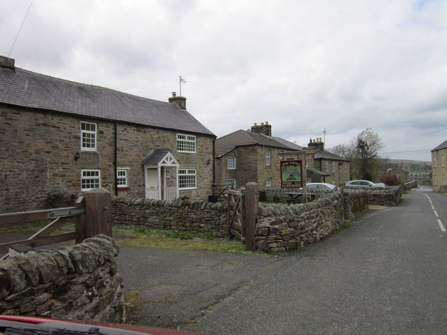
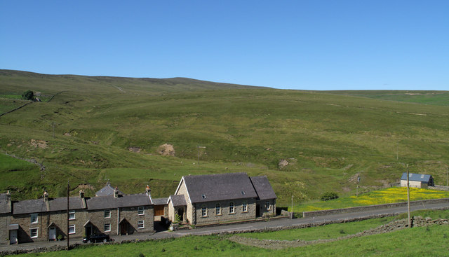
Primitive Methodist Church (converted) at Dirt Pot
Pinned by Simon Cotterill
from Geograph (geograph)
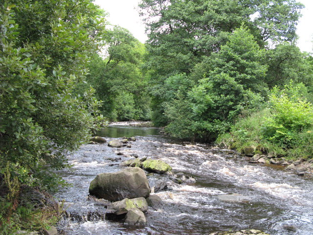
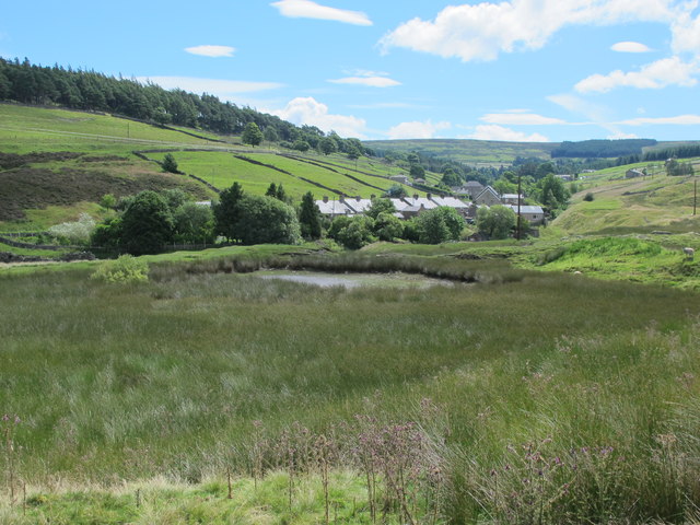
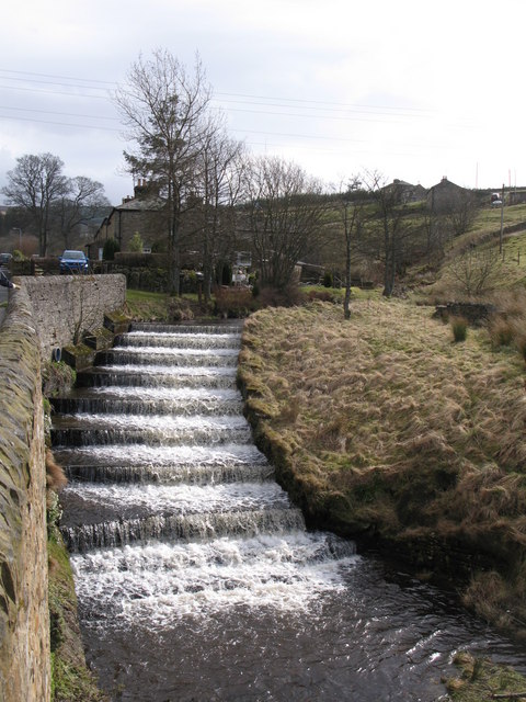
Steps in the bed of the River East Allen near Dirt Pot
Pinned by Simon Cotterill
from Geograph (geograph)
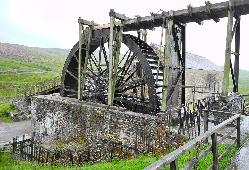
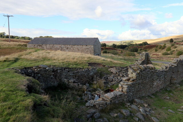
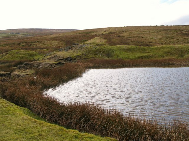
Pond at the (former) Allenheads Smelt Mill and the line of the lead smelting flue
Pinned by Simon Cotterill

from https://keystothepast.info/se…
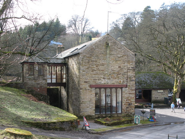
Allenheads Methodist Church (Allendale)
- This chapel was built in 1900 to replace an earlier chapel. It is a rectangular building with a small central porch and a Sunday school at the north end. Along …
Added by
Simon Cotterill

from Geograph (geograph)
Primitive Methodist Church (converted) at Dirt Pot
Pinned by Simon Cotterill
from Geograph (geograph)
Steps in the bed of the River East Allen near Dirt Pot
Pinned by Simon Cotterill
from Geograph (geograph)
Pond at the (former) Allenheads Smelt Mill and the line of the lead smelting flue
Pinned by Simon Cotterill
from https://keystothepast.info/se…
Allenheads Methodist Church (Allendale)
- This chapel was built in 1900 to replace an earlier chapel. It is a rectangular building with a small central porch and a Sunday school at the north end. Along …
Added by
Simon Cotterill