Topics > Northumberland > Civil Parishes in Northumberland > Kirkwhelpington Civil Parish
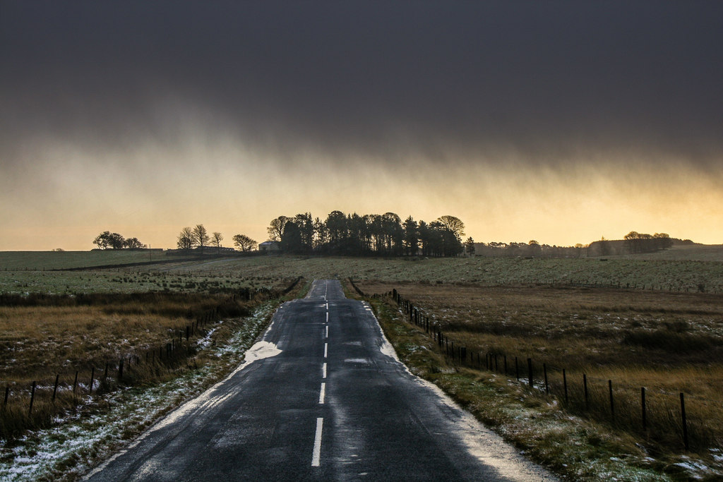
Kirkwhelpington Civil Parish
Area: 6.7 km²
Population:
203 (2021 Census)
460 (2011 Census)
480 (2001 Census)
Co-Curate Page
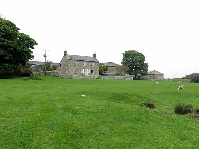
Coldwell, Kirkwhelpington
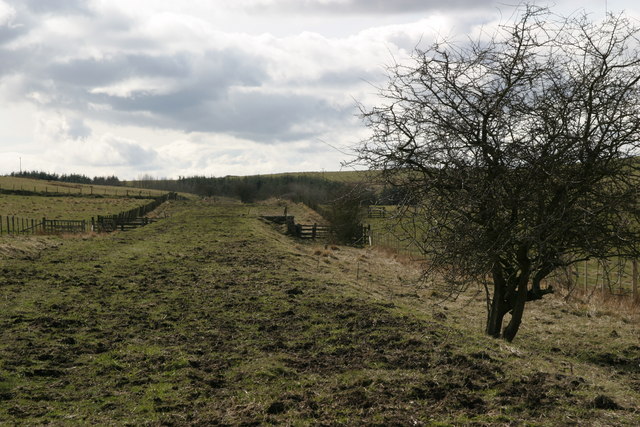
- Coldwell is a farm / hamlet located north of Kirkwhelpington in Northumberland. To the north of the farm are the remains of a Romano-British farmstead, which are a Sheduled Monument.[1] …
Co-Curate Page
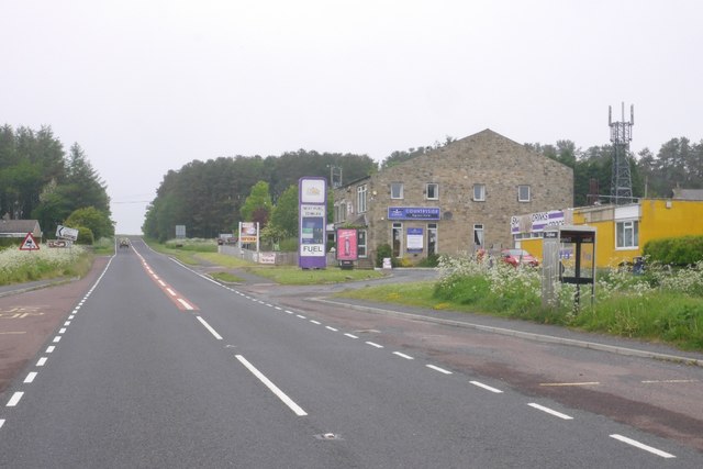
Kirkwhelpington
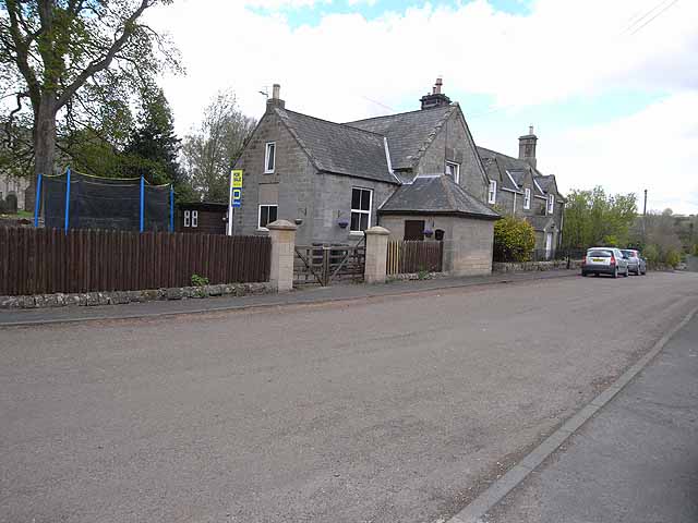
- Overview About Kirkwhelpington Map Street View Kirkwhelpington is a village and civil parish in the English county of Northumberland about 13 miles northeast of Hexham. It is on the …
Co-Curate Page
Little Harle
- Overview About Lttle Harle Tower Map Street View Little Harle (or Littleharle) is an estate, located about 1 mile south-east of the village of Kirkwhelpington in Northumberland. Little Harle Tower is …
Co-Curate Page
Kirkharle
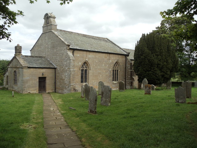
- Overview About Kirkharle Map Street View Kirkharle is a small village in Northumberland, located 1½ miles south-west of Wallington and 2 miles south-east of Kirkwhelpington. In medieval times it was …
Co-Curate Page
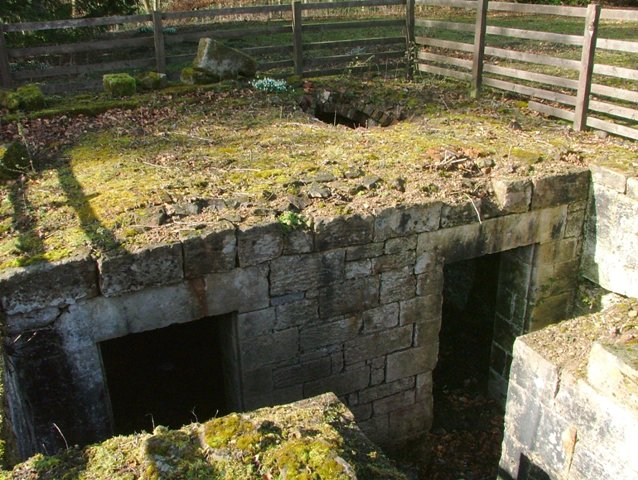
Ray Demesne
- Ray, located north-west of Kirkwhelpington in Northumberland, was the site of a Medieval settlement, where the remains of a bastle and fishponds can still be seen near Ray Cottages. In …
Co-Curate Page
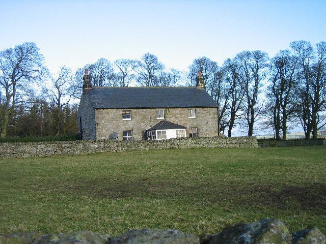
West Harle
- Overview Map West Harle is a farmstead in Northumberland, located about a mile and a half south of the village of Kirkwhelpington. West Harle Farmhouse was built in the 18th Century …
Co-Curate Page
Catcherside
- Catcherside is a farming hamlet located north of Kirkwhelpington. Catcherside Cottage were originally a bastle house built in the 16th century. There was once a medieval village here. CATCHERSIDE, a …
Co-Curate Page
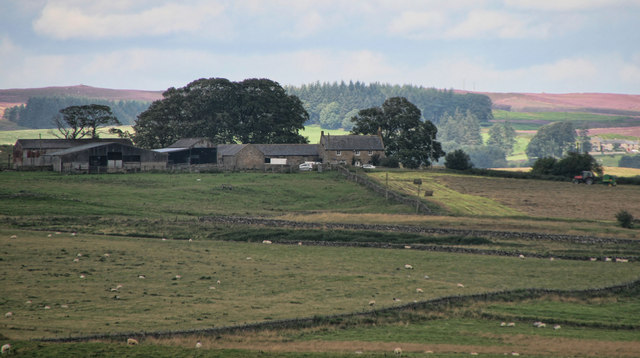
Ferneyrigg
- Overview Map Street View Ferneyrigg is a farm, located about 2 miles west of Kirkwhelpington in Northumberland. It is situated to the north of Ferneyrigg Burn. At Ferneyrigg, there are …
Co-Curate Page
Fawns
- Overview Map Street View The Fawns is a farm in Northumberland, located about 1 km north-east of the village of Kirkwhelpington, and situated by Howden Sike. Fawns was first documented …

Co-Curate Page
Coldwell, Kirkwhelpington
- Coldwell is a farm / hamlet located north of Kirkwhelpington in Northumberland. To the north of the farm are the remains of a Romano-British farmstead, which are a Sheduled Monument.[1] …
Co-Curate Page
Kirkwhelpington
- Overview About Kirkwhelpington Map Street View Kirkwhelpington is a village and civil parish in the English county of Northumberland about 13 miles northeast of Hexham. It is on the …
Co-Curate Page
Little Harle
- Overview About Lttle Harle Tower Map Street View Little Harle (or Littleharle) is an estate, located about 1 mile south-east of the village of Kirkwhelpington in Northumberland. Little Harle Tower is …
Co-Curate Page
Kirkharle
- Overview About Kirkharle Map Street View Kirkharle is a small village in Northumberland, located 1½ miles south-west of Wallington and 2 miles south-east of Kirkwhelpington. In medieval times it was …
Co-Curate Page
Ray Demesne
- Ray, located north-west of Kirkwhelpington in Northumberland, was the site of a Medieval settlement, where the remains of a bastle and fishponds can still be seen near Ray Cottages. In …
Co-Curate Page
West Harle
- Overview Map West Harle is a farmstead in Northumberland, located about a mile and a half south of the village of Kirkwhelpington. West Harle Farmhouse was built in the 18th Century …
Co-Curate Page
Catcherside
- Catcherside is a farming hamlet located north of Kirkwhelpington. Catcherside Cottage were originally a bastle house built in the 16th century. There was once a medieval village here. CATCHERSIDE, a …
Co-Curate Page
Ferneyrigg
- Overview Map Street View Ferneyrigg is a farm, located about 2 miles west of Kirkwhelpington in Northumberland. It is situated to the north of Ferneyrigg Burn. At Ferneyrigg, there are …


