Topics > Northumberland > West Harle
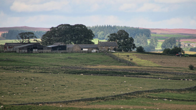
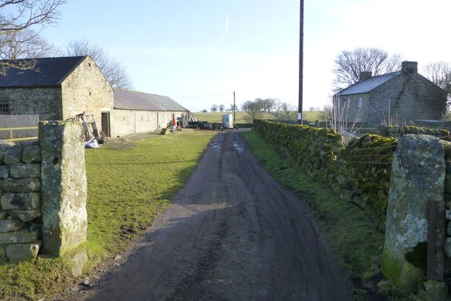
West Harle
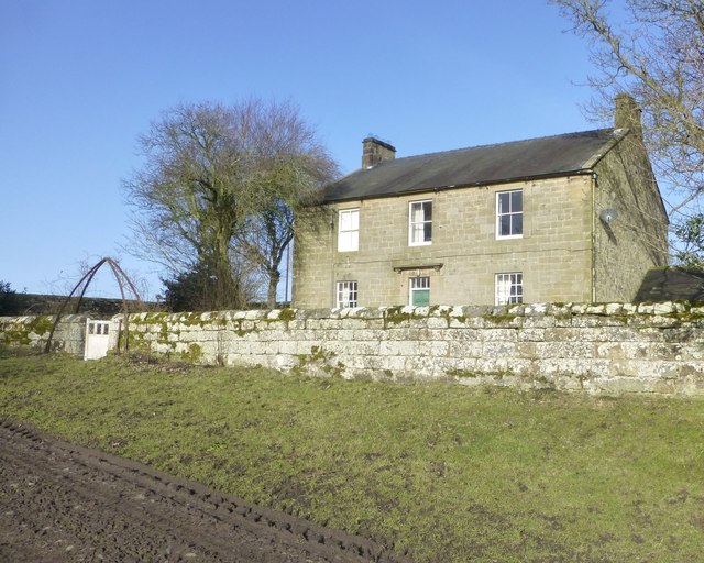
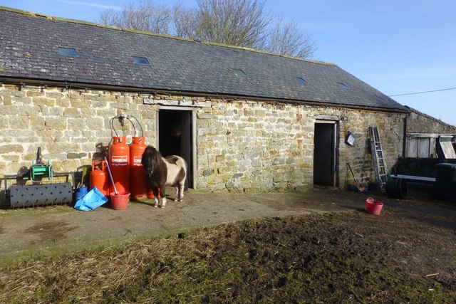
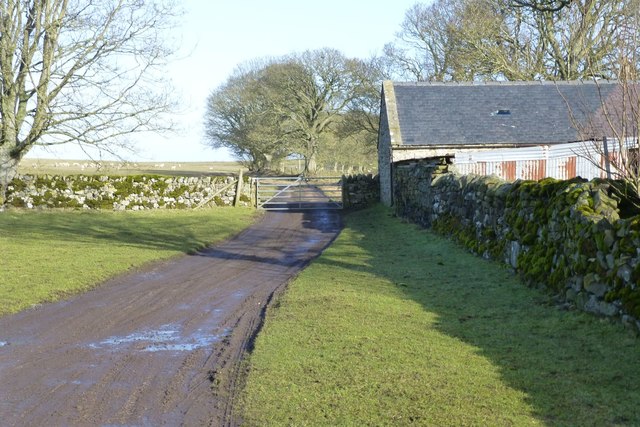
West Harle is a farmstead in Northumberland, located about a mile and a half south of the village of Kirkwhelpington. West Harle Farmhouse was built in the 18th Century and is Grade II listed on the National Heritage List for England.[1] It is thought to be built on the site of a 15th Century tower house, and may even incorporate the vault of the old tower.[2] There was a Medieval village at West Harle, and together with Little Harle formed a township, which in 1296 was recorded as having 9 taxpayers.[3].
Extract from: A Topographical Dictionary of England comprising the several counties, cities, boroughs, corporate and market towns, parishes, and townships..... 7th Edition, by Samuel Lewis, London, 1848.
Note: Little Harle and West Harle were transferred from Kirkwhelpington to Kirkharle Parish in 1847. Kirkharle Civil Parish was abolished in 1958 and subsumed into Kirkwhelpington Civil Parish.

from https://keystothepast.info/se…
West Harle medieval village
- "West Harle and Little Harle were hamlets within the same township. In 1296 they had nine taxpayers between them. A tower house at West Harle is mentioned in a document …
Added by
Simon Cotterill

from https://historicengland.org.u…
WEST HARLE FARMHOUSE - List Entry
- "House. C18 refaced early C19. Dressed stone facade, random rubble elsewhere. Welsh slate roof. 2 storeys, 3 bays. Central door of 6 flush panels with overlight and stone-bracketed cornice hood. …
Added by
Simon Cotterill
from http://www.gatehouse-gazettee…
WEST HARLE TOWER
- "A list dated 1415 mentions a tower at West Harle (Bates 1891).
The old mansion house at West Harle has windows with mullions and weather mouldings of stone. One room, …
Added by
Simon Cotterill

Co-Curate Page
Kirkharle Parish, 1855
- Extract from: History, Topography, and Directory of Northumberland...Whellan, William, & Co, 1855. KIRKHARLE parish comprises the townships of Harle (Little), Harle (West) and Kirkharle, and is bounded by the parishes …

from https://keystothepast.info/se…
West Harle medieval village
- "West Harle and Little Harle were hamlets within the same township. In 1296 they had nine taxpayers between them. A tower house at West Harle is mentioned in a document …
Added by
Simon Cotterill
from https://historicengland.org.u…
WEST HARLE FARMHOUSE - List Entry
- "House. C18 refaced early C19. Dressed stone facade, random rubble elsewhere. Welsh slate roof. 2 storeys, 3 bays. Central door of 6 flush panels with overlight and stone-bracketed cornice hood. …
Added by
Simon Cotterill
from http://www.gatehouse-gazettee…
WEST HARLE TOWER
- "A list dated 1415 mentions a tower at West Harle (Bates 1891).
The old mansion house at West Harle has windows with mullions and weather mouldings of stone. One room, …
Added by
Simon Cotterill


