Topics > Northumberland > Civil Parishes in Northumberland > Hartburn Civil Parish
Hartburn Civil Parish
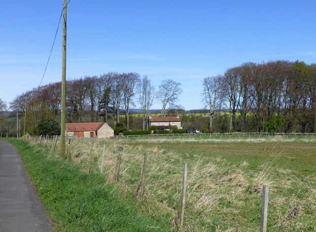
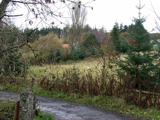
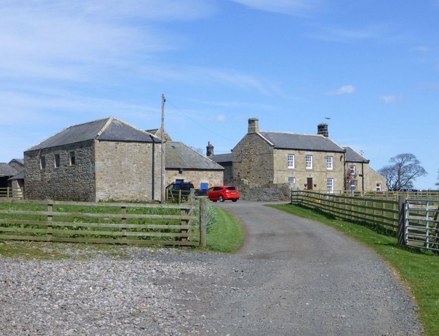
Hartburn Civil Parish is located in rural Northumberland, centred arround the village of Hartburn, which is located about 7 miles west of Morpeth. The parish also includes High Angerton, Low Angerton, West Marlish and a number of other hamlets and farms. The River Wandbeck and the Hart Burn (from which Hartburn gets it's name) flow across the parish.
Area: 18.5 km²
Population:
194 (2021 Census)
194 (2011 Census)
198 (2001 Census)

from https://northumberlandparishe…
Hartburn Parish Council
- Official Webpages of the Council.
Added by
Simon Cotterill
Co-Curate Page
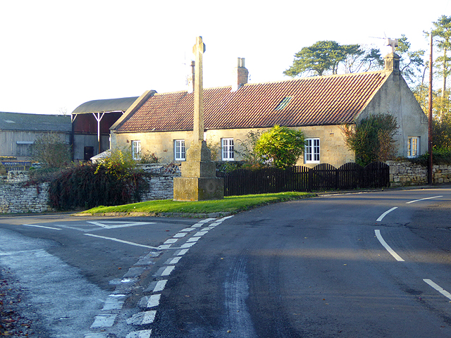
Hartburn
- Overview About Hartburn Map Street View Hartburn is a village and civil parish in Northumberland. The village is situated by the Hart Burn (river), and located about 6 miles west …
Co-Curate Page
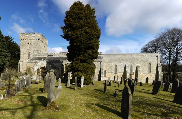
Church of St. Andrew, Hartburn
- Overview Map Street View Inside St Andrew's is the Parish Church in Hartburn in Northumberland. The church has a Pre-Conquest core, including an 11th century tower and chancel. Aisles were added …

Co-Curate Page
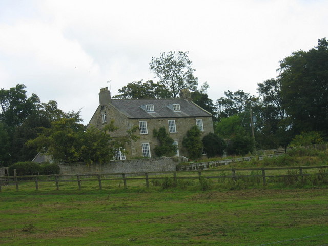
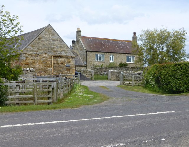
High Angerton
- Overview Map Street View High Angerton is a hamlet in Northumberland, situated on the south banks of Hart Burn (river). It is located about ½ mile south-east of the village …

from https://keystothepast.info/se…
Local History: Hartburn (Northumberland)
- "Hartburn parish lies in the lowlands of central Northumberland not far from the county town of Morpeth. The River Wansbeck and the Hart Burn cross the parish from west to …
Added by
Simon Cotterill
Co-Curate Page
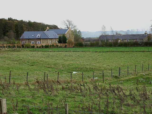
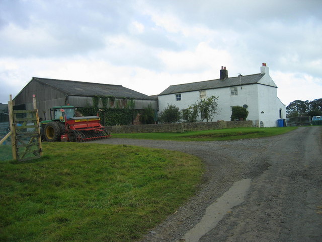
Low Angerton
- Overview Map Street View Low Angerton is a hamlet in Northumberland, located about 6 miles west of Morpeth and 1 mile south of the village of Hartburn. It is situated …
Co-Curate Page
Angerton South Moor
- Overview Map Street View Angerton South Moor (aka Angertonmoor Cottage) is a former farmhouse, located about 7 miles west of Morpeth and ¾mile south-west of the hamlet of Low Angerton …

Co-Curate Page
Temple Thornton
- Overview Map Street View Temple Thornton is a hamlet close to Meldon Park in Northumberland, and within Hartburn Civil Parish. The placename derives from about the time of King John …

from https://northumberlandparishe…
Hartburn Parish Council
- Official Webpages of the Council.
Added by
Simon Cotterill
Co-Curate Page
Hartburn
- Overview About Hartburn Map Street View Hartburn is a village and civil parish in Northumberland. The village is situated by the Hart Burn (river), and located about 6 miles west …
Co-Curate Page
Church of St. Andrew, Hartburn
- Overview Map Street View Inside St Andrew's is the Parish Church in Hartburn in Northumberland. The church has a Pre-Conquest core, including an 11th century tower and chancel. Aisles were added …
Co-Curate Page
High Angerton
- Overview Map Street View High Angerton is a hamlet in Northumberland, situated on the south banks of Hart Burn (river). It is located about ½ mile south-east of the village …
from https://keystothepast.info/se…
Local History: Hartburn (Northumberland)
- "Hartburn parish lies in the lowlands of central Northumberland not far from the county town of Morpeth. The River Wansbeck and the Hart Burn cross the parish from west to …
Added by
Simon Cotterill
Co-Curate Page
Low Angerton
- Overview Map Street View Low Angerton is a hamlet in Northumberland, located about 6 miles west of Morpeth and 1 mile south of the village of Hartburn. It is situated …
Co-Curate Page
Angerton South Moor
- Overview Map Street View Angerton South Moor (aka Angertonmoor Cottage) is a former farmhouse, located about 7 miles west of Morpeth and ¾mile south-west of the hamlet of Low Angerton …
Co-Curate Page
Temple Thornton
- Overview Map Street View Temple Thornton is a hamlet close to Meldon Park in Northumberland, and within Hartburn Civil Parish. The placename derives from about the time of King John …

Northumberland
Civil Parishes in Northumberland
Angerton North Moor
Angerton South Moor

Deanham Township, 1848
Hartburn Parish, 1848

Hartburn Parish, 1855
Historic Buildings and Monuments in Hartburn Civil Parish
Howlet Hall (Hartburn)
Needless Hall Moor
Todridge Township, 1848
Wallington Demesne - Township, 1848
Whitridge Township, Hartburn, 1848
Keys to the Past HER: N13364


")
")
")