Topics > Transport and Travel > Railway > Alnwick to Cornhill Railway
Alnwick to Cornhill Railway
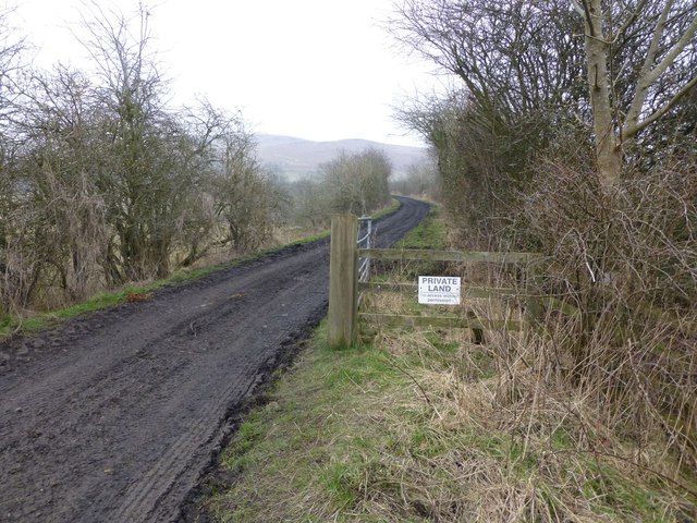
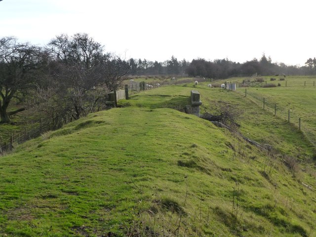
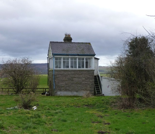
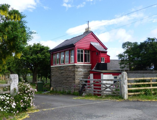
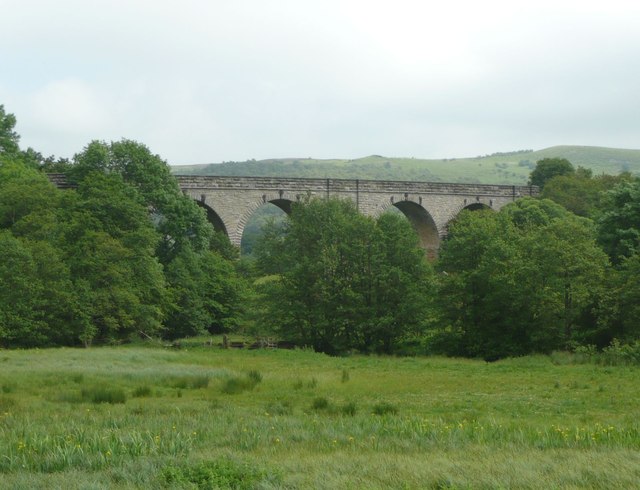
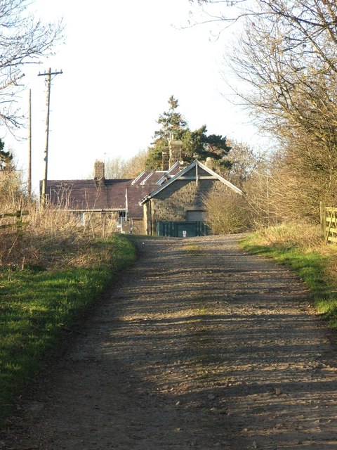
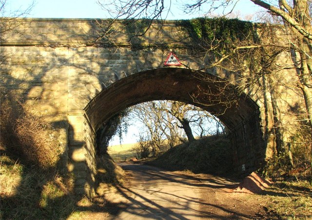
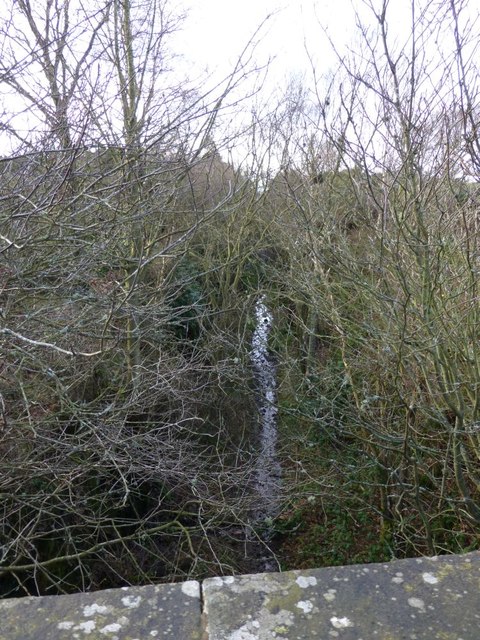
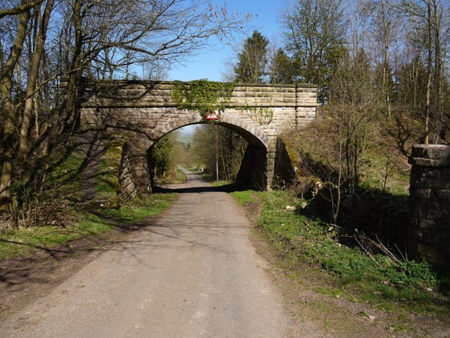
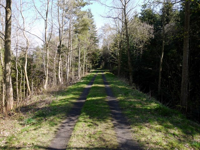
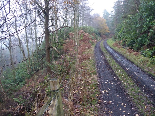
The Alnwick to Coldstream (Cornhill) railway, was opened in 1887 by the North Eastern Railway to link it's Kelso line to its Alnwick Branch. The Alnwick to Ilderton section of the line closed in 1953, and the Wooler to Coldstream section closed in 1965. However, several sections of the former track bed, bridges, and some of the former stations and signal boxes can still be seen:
| Stations (north to south): | Signal Boxes, Bridges etc. (selected): |
|
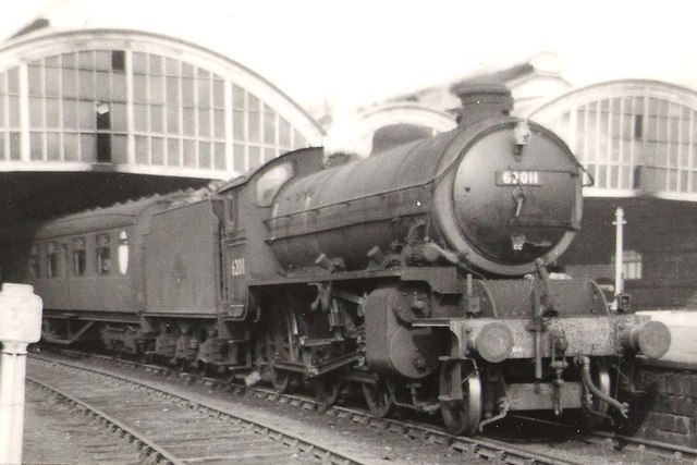
The Cornhill Branch was a single track branch railway line in Northumberland, England, that ran from on the terminus of the three mile long Alnmouth to Alnwick line via ten intermediate stations to a junction on the to Kelso Branch line at Cornhill-on-Tweed.
History
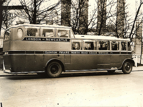
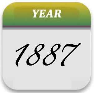
Authorised in 1882 the Cornhill Branch was built to link the farming communities of north Northumberland with the market town of Alnwick and link the North Eastern Railway's Kelso line to its Alnwick Branch. Construction was started by the North Eastern Railway in 1884, and the line opened to freight between Cornhill and Wooperton on 2 May 1887, and the whole line for both freight and passengers on 5 September of the same year. The line had difficulty attracting passengers as many of the stations were some distance from the communities they served. Increased bus competition in the 1920s led to passenger trains being withdrawn on 22 September 1930 although the service resumed briefly during the Second World War to serve RAF Milfield near Akeld.
After a severe storm in August 1948 washed away a bridge north of Ilderton station British Railways, who had recently taken over the line, decided that the volume of traffic along the line did not warrant replacing it. The line was thus split into two, Alnwick to Ilderton, and Coldstream to Wooler. This coupled with an infrequent service caused the line to go further into decline and the section from Alnwick to Ilderton closed on 2 March 1953 with the other section following suit on 29 March 1965.
- Mindrum Station: 55°35'55.26"N 2°13'52.79"W
- Kirknewton Station: 55°34'2.26"N 2° 8'38.20"W
- Akeld Station: 55°33'48.49"N 2° 4'15.02"W (correct coordinates—coordinates in Akeld station article are several hundred feet off.)
- Wooler Station: 55°32'59.47"N 2° 0'43.14"W (correct coordinates—coordinates in Wooler station article are several hundred feet off.)
- Ilderton Station: 55°30'22.31"N 1°58'14.28"W
- Wooperton Station: 55°28'29.35"N 1°55'33.56"W
- Hedgeley Station: 55°26'44.95"N 1°54'25.53"W
- Glanton Station: 55°25'34.33"N 1°52'20.35"W
- Whittingham Station: 55°24'11.22"N 1°51'37.04"W
- Edlingham Station:..........
Inglenook Sidings
Inglenook Sidings, created by Alan Wright (1928 - January 2005), is a well-known model railway train shunting puzzle. It consists of a specific track layout, a set of initial conditions, a defined goal, and rules which must be obeyed while performing the shunting operations.
The puzzle is based on Kilham Sidings, on the Alnwick-Cornhill branch of the North Eastern Railway (NER).
Visit the page: Cornhill Branch for references and further details. You can contribute to this article on Wikipedia.

Co-Curate Page
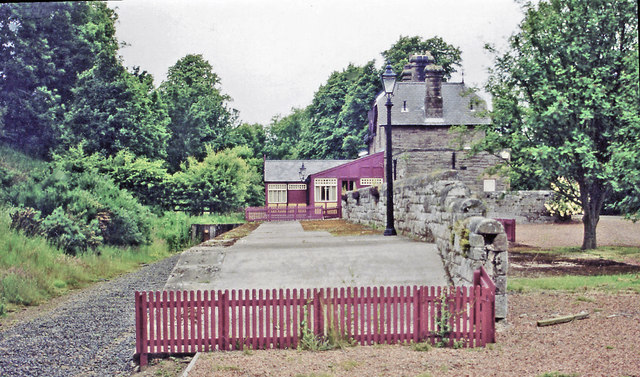
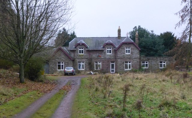
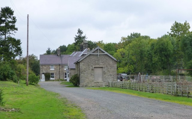
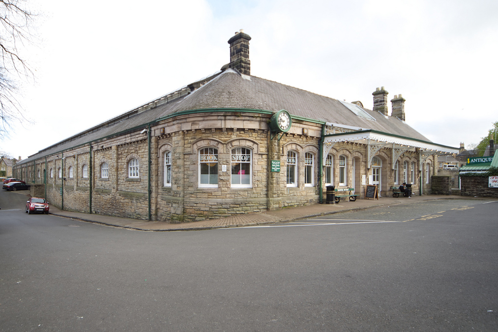
Former Railway Station, Alnwick - Barter Books
- Overview About Alnwick Station Map Street View Alnwick Railway Station on Wagon Way Road in Alnwick was opened on the 5th September, 1887. It was built as part of the …
Co-Curate Page
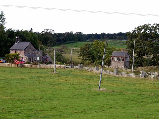
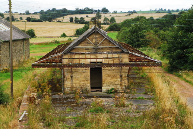
Former Glanton Railway Station
- < Hedgeley Station | Alnwick-Cornhill Railway | Whittingham Station >
Co-Curate Page
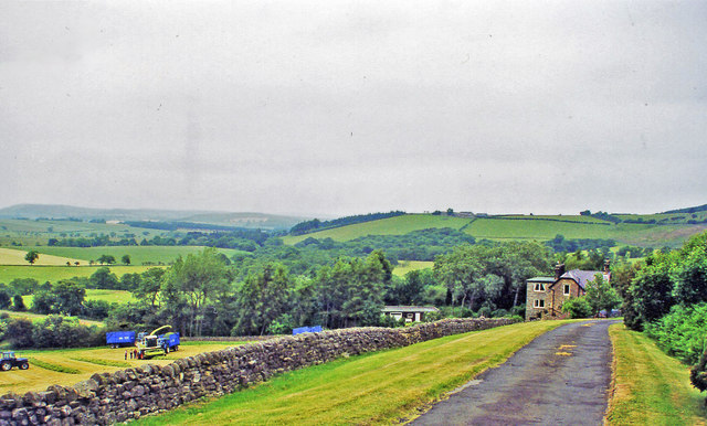
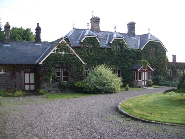
Former Hedgeley Railway Station
- < Wooperton Station | Alnwick-Cornhill Railway | Glanton Station >
Co-Curate Page
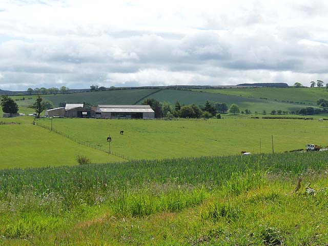
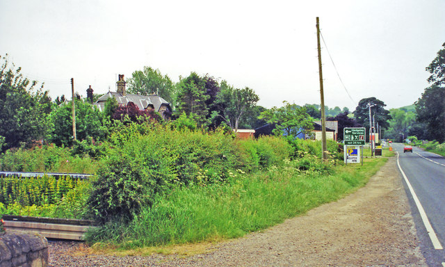
Hagg
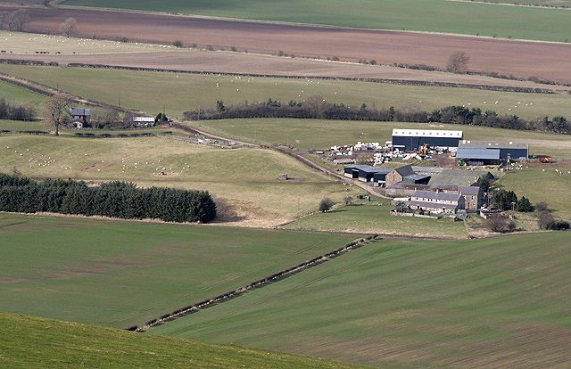
- Overview Map Street View Hagg is a hamlet in Northumberland, located close to the border with Scotland, about 2 miles south of Cornhill-on-Tweed. It primarily consists of Hagg farm and …
from Geograph (geograph)
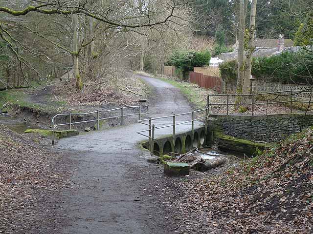
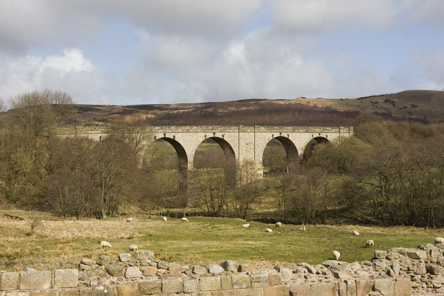
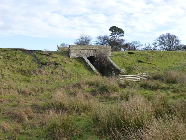
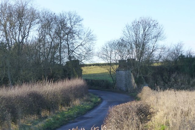
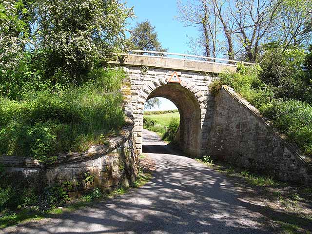
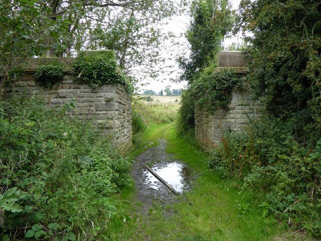
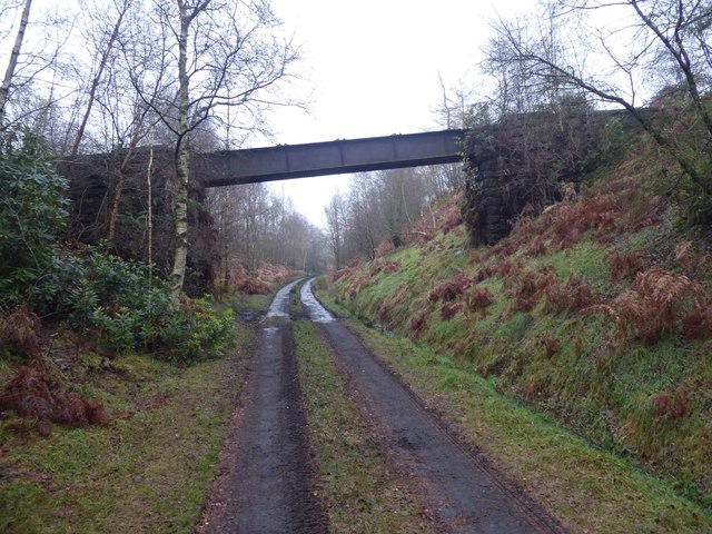
Aqueduct over the track bed of the Alnwick & Cornhill Railway
Pinned by Peter Smith

Co-Curate Page
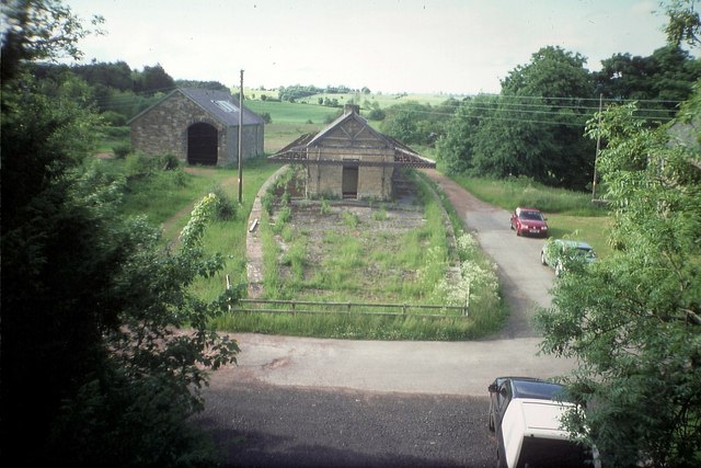
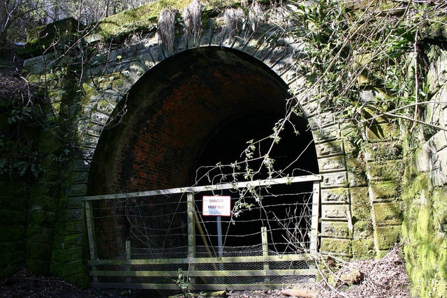
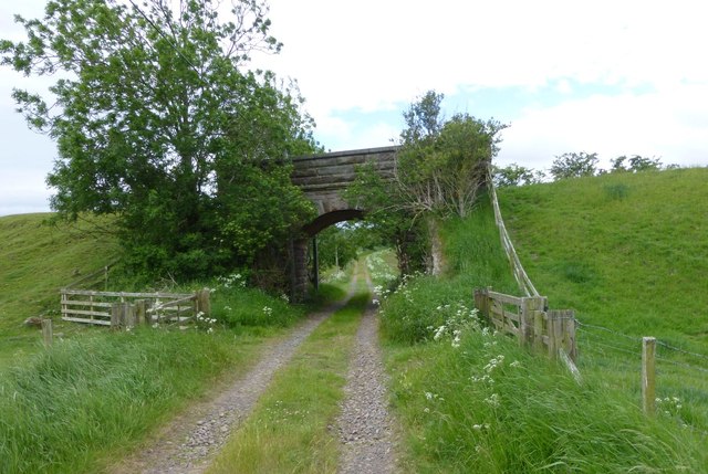
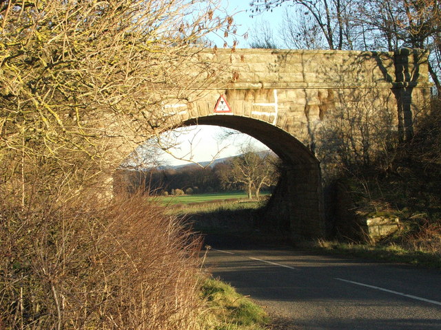
Old Railway Bridges, Rugley
- There are two old railway bridges by the south of Rugley Woods, which were on the former Alnwick and Cornhill Railway.

Co-Curate Page
Former Railway Station, Alnwick - Barter Books
- Overview About Alnwick Station Map Street View Alnwick Railway Station on Wagon Way Road in Alnwick was opened on the 5th September, 1887. It was built as part of the …
Co-Curate Page
Former Glanton Railway Station
- < Hedgeley Station | Alnwick-Cornhill Railway | Whittingham Station >
Co-Curate Page
Former Hedgeley Railway Station
- < Wooperton Station | Alnwick-Cornhill Railway | Glanton Station >
Co-Curate Page
Hagg
- Overview Map Street View Hagg is a hamlet in Northumberland, located close to the border with Scotland, about 2 miles south of Cornhill-on-Tweed. It primarily consists of Hagg farm and …
from Geograph (geograph)
Aqueduct over the track bed of the Alnwick & Cornhill Railway
Pinned by Peter Smith