Topics > Tyne and Wear > Newcastle upon Tyne > Walbottle
Walbottle
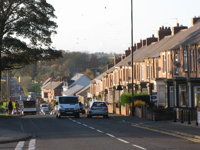
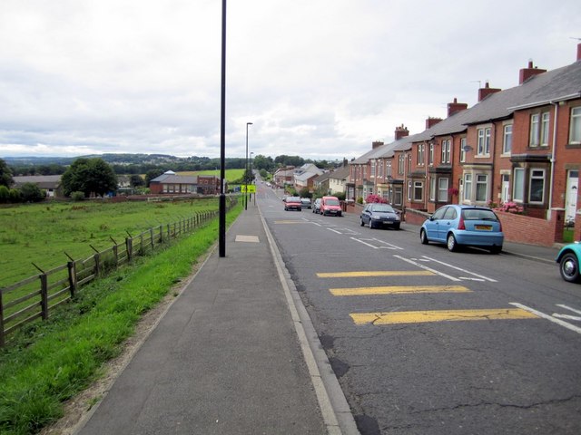
Walbottle is a village in Tyne and Wear. It is a western suburb of Newcastle upon Tyne. The village name, recorded in 1176 as "Walbotl", is derived from the Old English botl (building) on Hadrian's Wall. There are a number of Northumbrian villages which are suffixed "-bottle".
Bede, in his Ecclesiastical History of the English People, refers to a royal estate called Ad Murum near the Roman Wall where, in 653 AD, the King of the Middle Angles, Peada, and the King of the East Saxons, Sigeberht, were both baptised as Christians by Bishop Finan, having been persuaded to do so by King Oswy of Northumbria. Historians have identified Ad Murum with Walbottle.
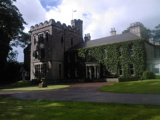
Ann Potter, the mother of Lord Armstrong, the famous industrialist, was born at Walbottle Hall in 1780 and lived there until 1801.
Notable people
Born in Walbottle:
- Thomas Tommy Browell (1892–1955), professional footballer.
- Richard Armstrong (author) (1903–1986), who wrote for both adults and children. He was the winner of the Carnegie Medal in 1948 for his book Sea Change. He is also known for a biography of Grace Darling in which he challenges the conventional story: Grace Darling: Maid and Myth. He is often described on the cover of his books as "author and mariner".
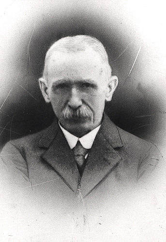
- William Wilson (1809–1862). Mechanical Engineer who pioneered railways in Germany in the nineteenth century.
Worked in Walbottle:
- David Besford, ( 1946 - ) former pupil of Walbottle Grammar School, returned to spend seven years as Head Teacher.
- William Robert Messer, ( 1948 - ) former pupil of Walbottle Grammar School (1959-1966) returned as Head of Art and Design from 1980-2008. Involved in the rebuild of Walbottle Campus 2006-2008.
from Newcastle libraries (flickr)
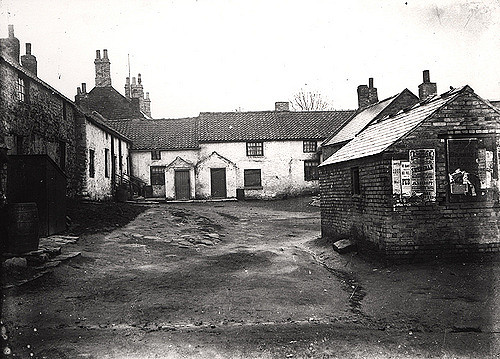
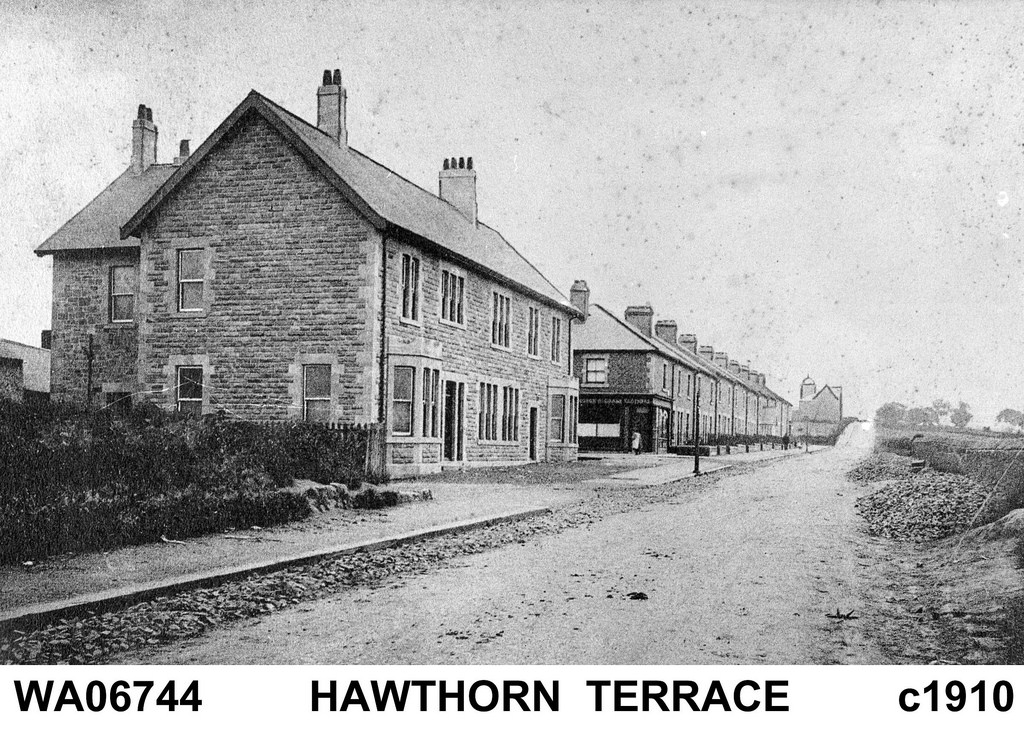
036501:High Square Walbottle Unknown c.1900
Pinned by Simon Cotterill
from Newcastle libraries (flickr)
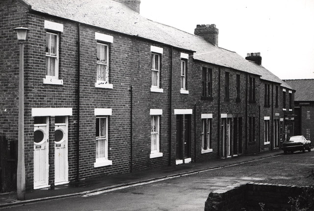
050288:Claverdon Street North Walbottle Unknown 1973
Pinned by Simon Cotterill
from Newcastle libraries (flickr)
036818:St. John's Estate Walbottle Unknown 1977
Pinned by Simon Cotterill
from Newcastle libraries (flickr)
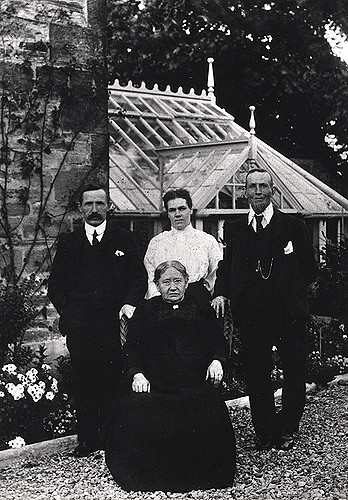
023220:J. Severs North Walbottle Unknown c.1920
Pinned by Simon Cotterill
from Newcastle libraries (flickr)
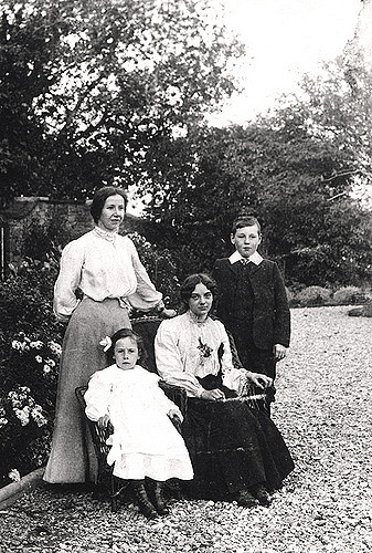
023219:Master and Misses Severs North Walbottle Unknown c.1900
Pinned by Simon Cotterill
from Newcastle libraries (flickr)
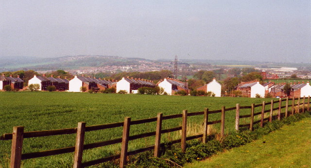
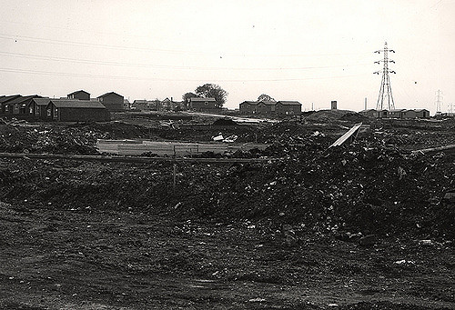
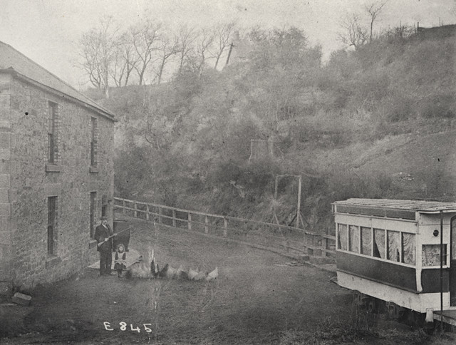
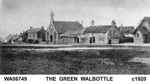
065729:A view of Walbottle City Engineers c.1890s
Pinned by Simon Cotterill
from Newcastle libraries (flickr)
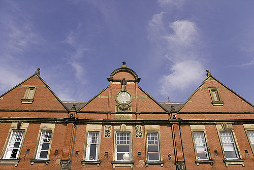
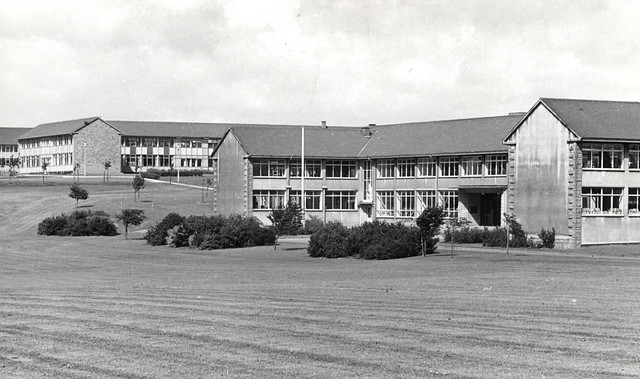
061076:Walbottle High School Walbottle Unknown Undated
Pinned by Simon Cotterill
from Newcastle libraries (flickr)
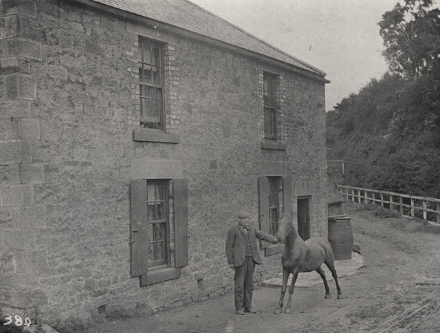
055886:'The Winning' Walbottle Unknown c.1905
Pinned by Simon Cotterill
from Newcastle libraries (flickr)
055884:A view of Walbottle Unknown c.1890
Pinned by Simon Cotterill
from Newcastle libraries (flickr)
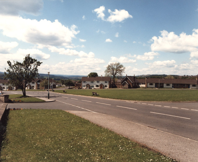
062409:A view of Walbottle City Engineers c.1980s
Pinned by Simon Cotterill
from Newcastle libraries (flickr)
062408:View of Walbottle City Engineers c.1980s
Pinned by Simon Cotterill
from Newcastle libraries (flickr)
056717:West Turnpike Road Walbottle Unknown Undated
Pinned by Simon Cotterill
Co-Curate Page
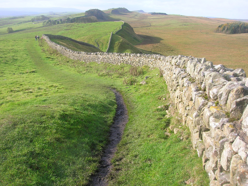
Hadrian's Wall
- Overview About Hadrian's Wall Map Hadrian's Wall Glossary Hadrian's Wall stretches over 73 miles (117 km) coast to coast across Northern England. Construction began in AD 122 during the rule …

from Geograph (geograph)
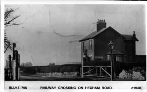
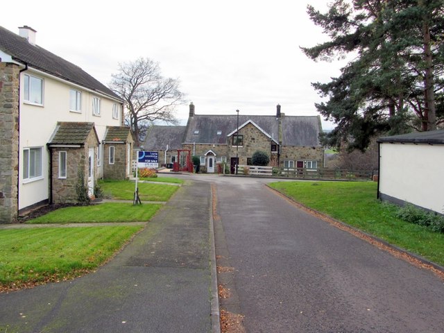
Former driveway to Walbottle Hall off Hexham Road
Pinned by Simon Cotterill

from Geograph (geograph)
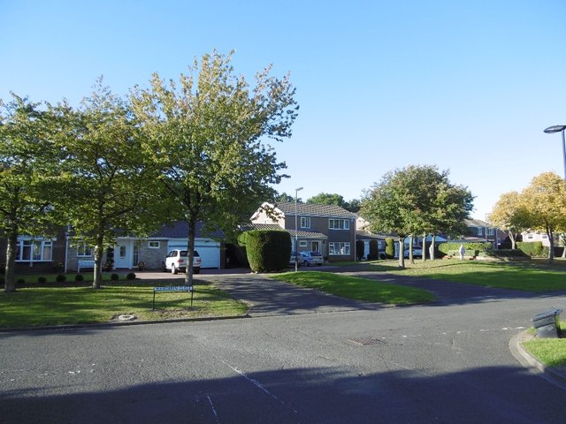
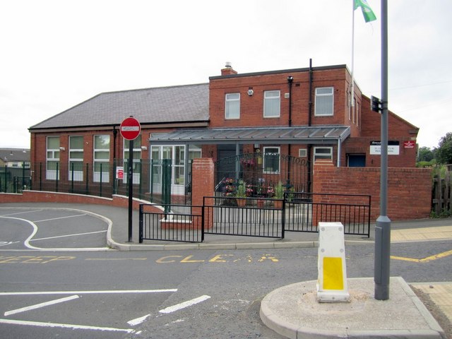
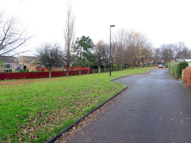
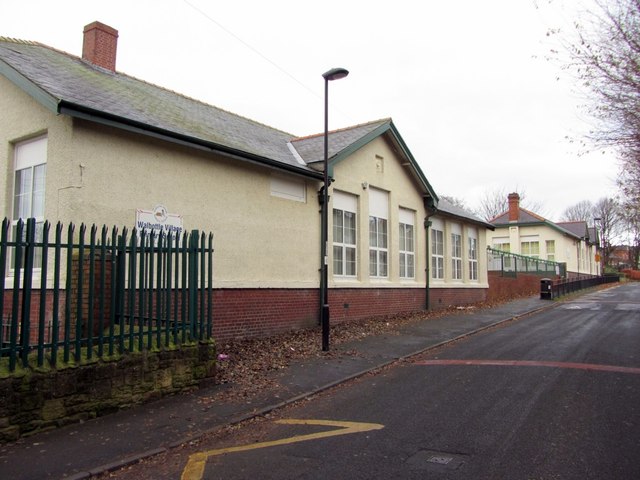
St Cuthbert's Roman Catholic Primary School, Walbottle
Pinned by Simon Cotterill
from Geograph (geograph)
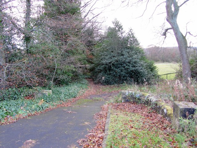
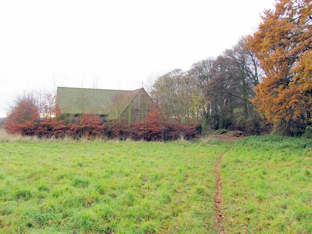
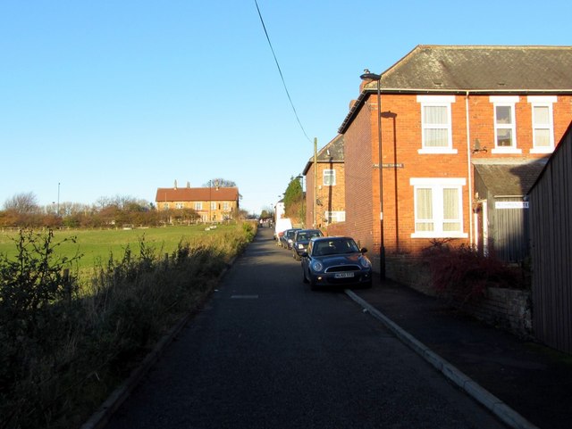
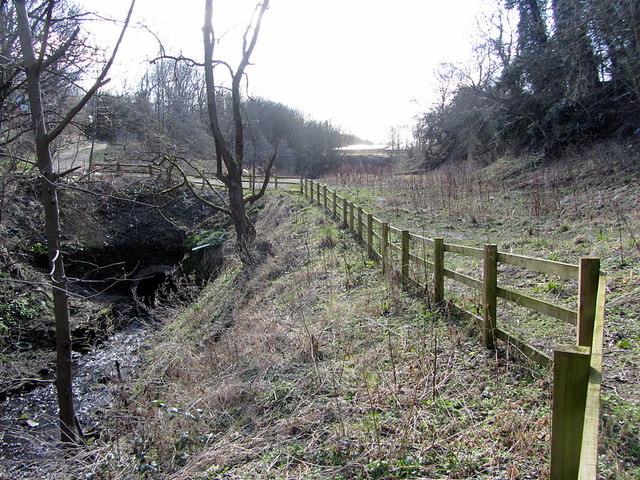
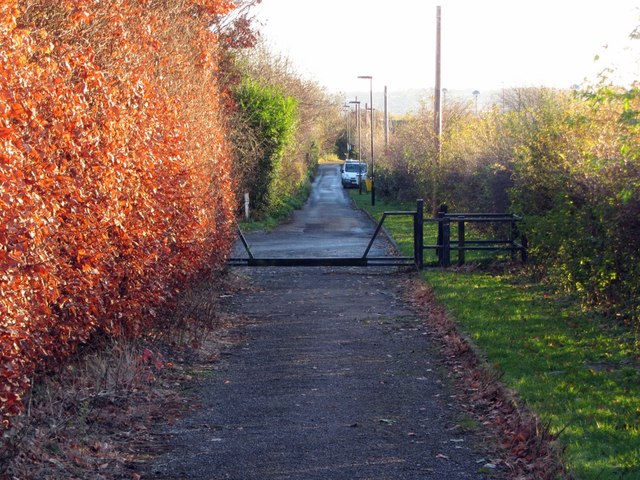
Bridle path east of Walbottle Campus (view south)
Pinned by Simon Cotterill


from Newcastle libraries (flickr)
036501:High Square Walbottle Unknown c.1900
Pinned by Simon Cotterill
from Newcastle libraries (flickr)
050288:Claverdon Street North Walbottle Unknown 1973
Pinned by Simon Cotterill
from Newcastle libraries (flickr)
036818:St. John's Estate Walbottle Unknown 1977
Pinned by Simon Cotterill
from Newcastle libraries (flickr)
023220:J. Severs North Walbottle Unknown c.1920
Pinned by Simon Cotterill
from Newcastle libraries (flickr)
023219:Master and Misses Severs North Walbottle Unknown c.1900
Pinned by Simon Cotterill
from Newcastle libraries (flickr)
065729:A view of Walbottle City Engineers c.1890s
Pinned by Simon Cotterill
from Newcastle libraries (flickr)
061076:Walbottle High School Walbottle Unknown Undated
Pinned by Simon Cotterill
from Newcastle libraries (flickr)
055886:'The Winning' Walbottle Unknown c.1905
Pinned by Simon Cotterill
from Newcastle libraries (flickr)
055884:A view of Walbottle Unknown c.1890
Pinned by Simon Cotterill
from Newcastle libraries (flickr)
062409:A view of Walbottle City Engineers c.1980s
Pinned by Simon Cotterill
from Newcastle libraries (flickr)
062408:View of Walbottle City Engineers c.1980s
Pinned by Simon Cotterill
from Newcastle libraries (flickr)
056717:West Turnpike Road Walbottle Unknown Undated
Pinned by Simon Cotterill
Co-Curate Page
Hadrian's Wall
- Overview About Hadrian's Wall Map Hadrian's Wall Glossary Hadrian's Wall stretches over 73 miles (117 km) coast to coast across Northern England. Construction began in AD 122 during the rule …
from Geograph (geograph)
Former driveway to Walbottle Hall off Hexham Road
Pinned by Simon Cotterill
from Geograph (geograph)
St Cuthbert's Roman Catholic Primary School, Walbottle
Pinned by Simon Cotterill
from Geograph (geograph)
Bridle path east of Walbottle Campus (view south)
Pinned by Simon Cotterill

Tyne and Wear

Newcastle upon Tyne
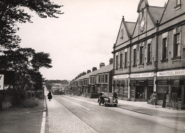
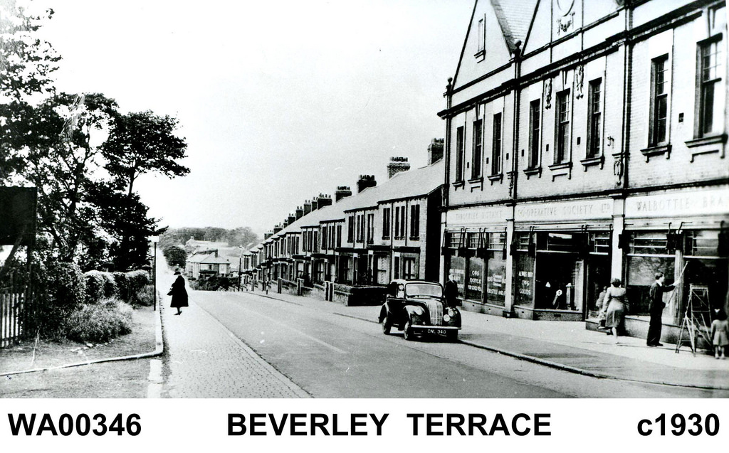
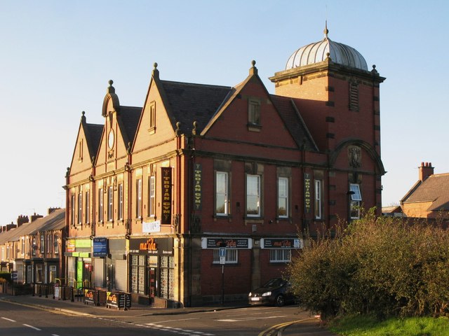
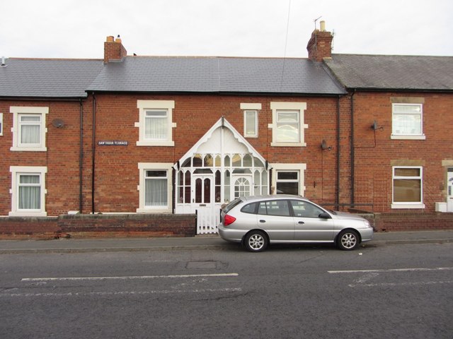
Former Co-operative Building, Walbottle
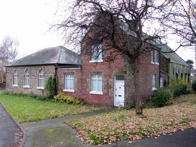
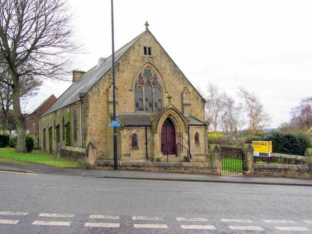
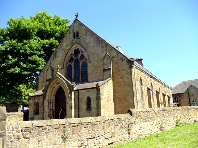
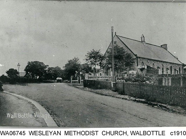
Former Wesleyan Methodist Chapel, Walbottle

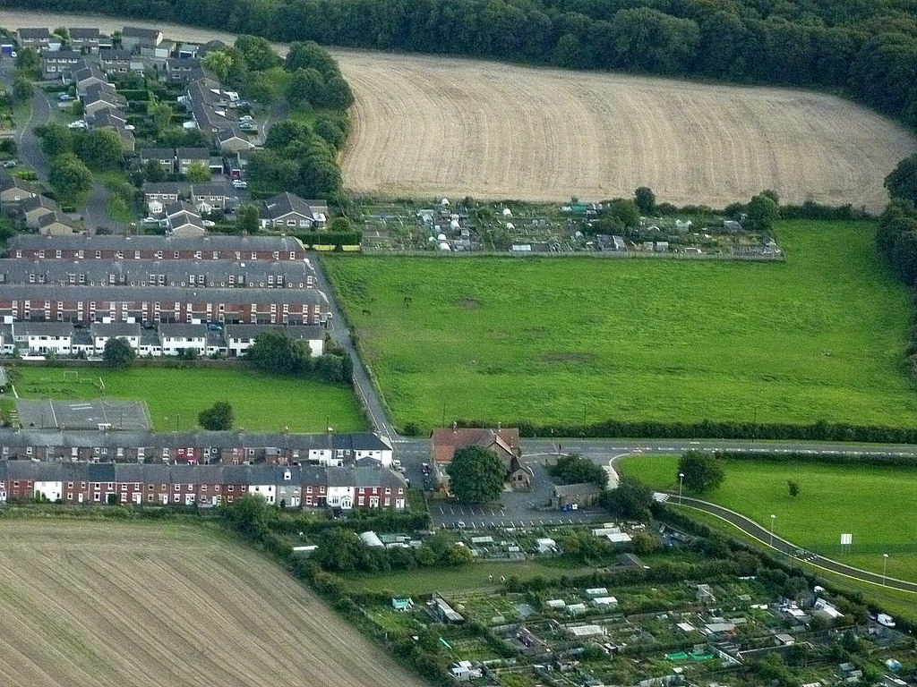
Map and Aerial View of Walbottle

Walbottle at War
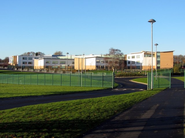
Walbottle Campus

Walbottle Conservation Area
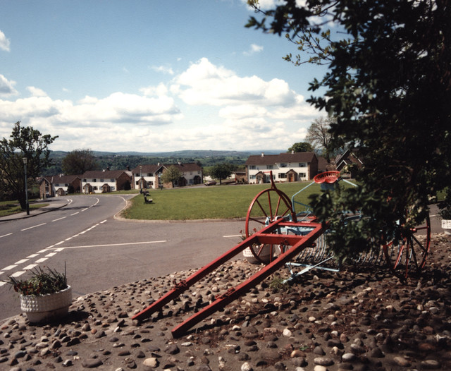
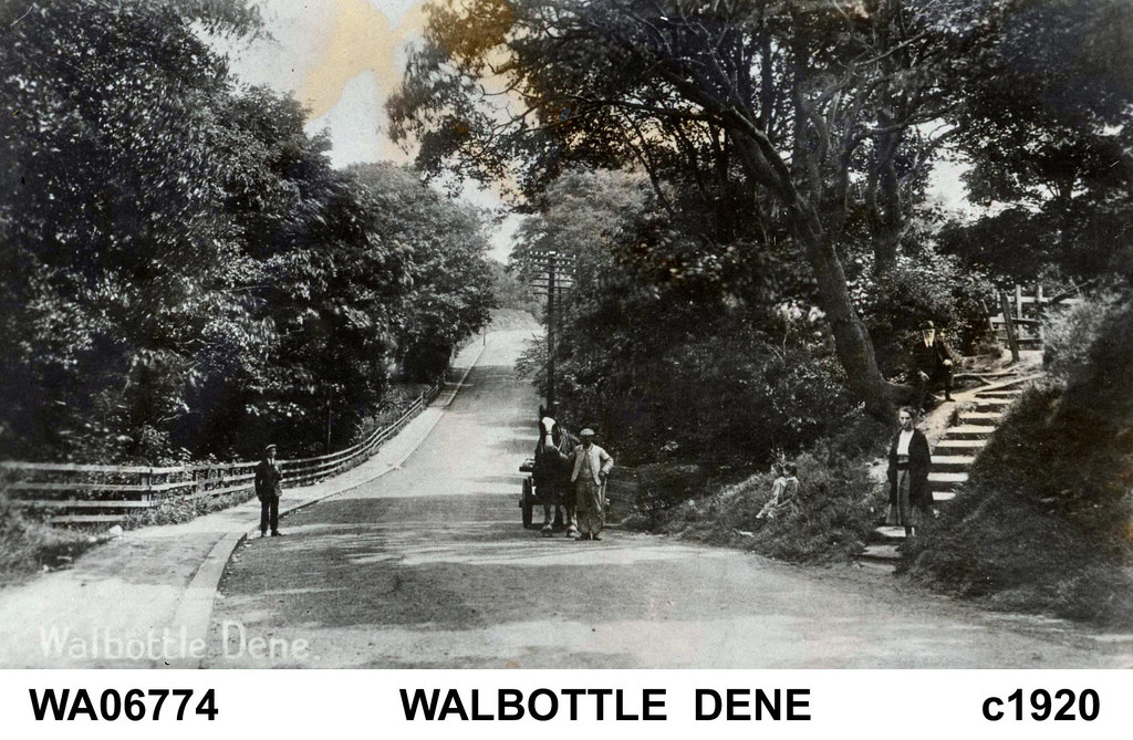
Walbottle Dene
Walbottle Hall
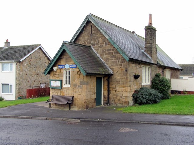
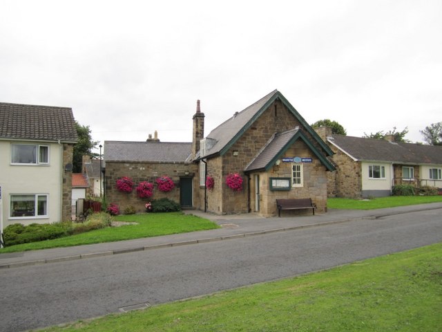
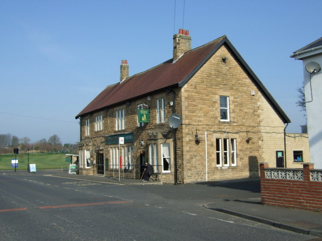
Walbottle Village Institute

Wallbottle Township (Newburn Parish), 1848