Topics > County Durham > Civil Parishes in County Durham > Stanhope Civil Parish
Stanhope Civil Parish
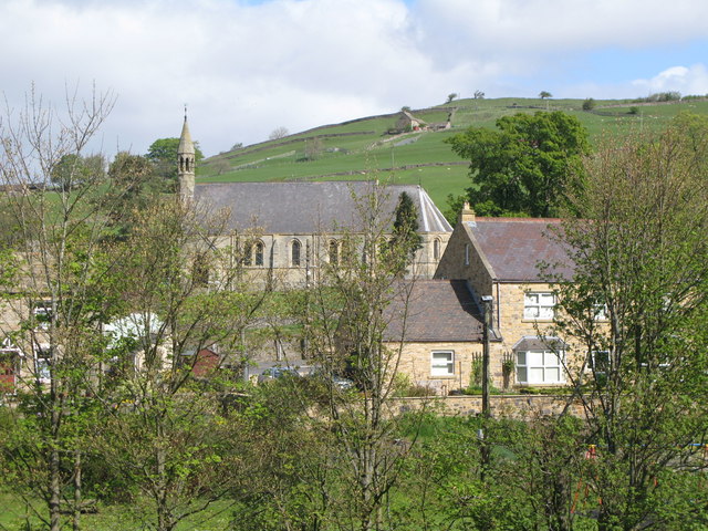
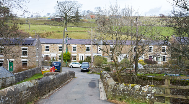
Stanhope is a civil parish in Weardale, County Durham. It is the largest civil parish in England with an area of 85 square miles. The parish had a population of 4,581 at the time of the 2011 Census. Settlements in the parish include Cowshill, Crawleyside, Eastgate, Frosterley, Ireshopeburn, Lanehead, Rookhope, St John's Chapel, Stanhope, Wearhead, and Westgate. Most of the Parish is in the North Pennine Area of Outstanding Natural Beauty (ANOB).
Area: 255.8 km²
Population:
4,436 (2021 Census)
4,581 (2011 Census)
4,519 (2001 Census)
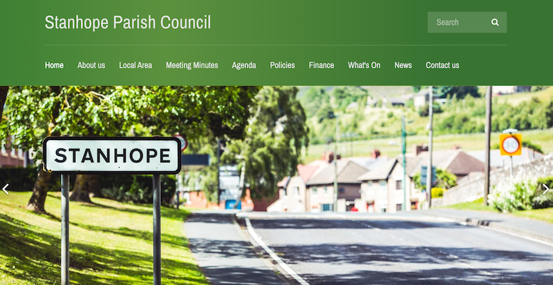
from https://www.stanhopeparishcou…
Stanhope Parish Council
- "...Stanhope Parish Council is the largest in England with an area of 85 square miles and has a population of 4581 at the last census in 2011. There are 2421 …
Added by
Simon Cotterill
Co-Curate Page
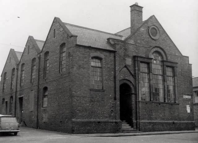
Stanhope
- Overview About Stanhope Map Street View Stanhope (pronounced in the regional dialect "Stanup") is a small market town in County Durham, in England. It is situated on the River …
Co-Curate Page
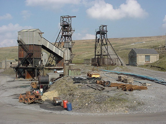
Rookhope
- Overview About Rookhope Map Street View Rookhope is a village in the Pennines in County Durham, in the past the area was associated with lead mining and fluorspar mining. Rookhope is …
Co-Curate Page
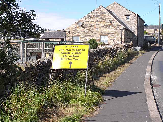
Lanehead
- Overview About Lanehead Map Street View Lanehead is a village in County Durham, located by Killhope Burn, near the top of Weardale, and close to the county border with Cumbria. …
Co-Curate Page
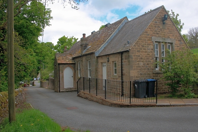
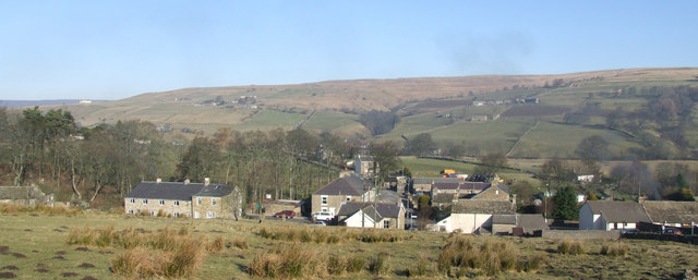
Eastgate
- Overview About Eastgate Map Street View Eastgate is a village in Weardale, County Durham, located about two and a half miles west of Stanhope. The village is situated by the …
Co-Curate Page
Ireshopeburn
- Overview About Ireshopeburn Map Street View Ireshopeburn is a village in County Durham, located in Weardale on the A689 road between Wearhead and St John's Chapel. Ireshopeburn is a village …

Co-Curate Page
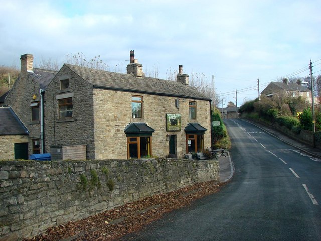
Wearhead
- Overview About Wearhead Map Wearhead is a picturesque village in County Durham, located at the start of Weardale where the River Wear is begins at the confluence of Burnhope Burn …
Co-Curate Page
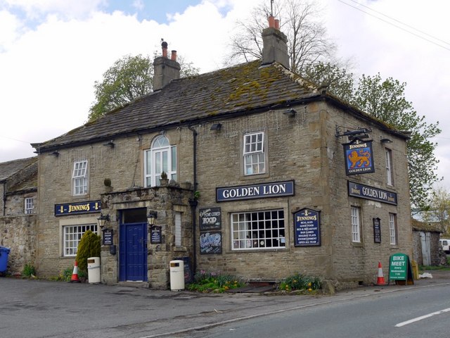
Frosterley
- Overview About Frosterley Map Street View Frosterley is a village in County Durham located by the River Wear in Weardale, between Wolsingham and Stanhope. Frosterley has a station on the …
Co-Curate Page
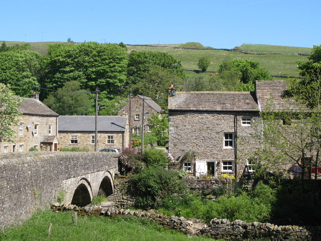
St John's Chapel
- Overview About St John's Chapel Map Street View St John's Chapel is a village in County Durham, located in Weardale between Ireshopeburn and Daddry Shield. St John's Chapel is a …
Co-Curate Page
Cowshill
- Overview Map Street View Cowshill is a village in Upper Weardale in County Durham, situated by Killhope Burn and within the North Pennines Area of Outstanding Natural Beauty. Cowshill is located …
Co-Curate Page
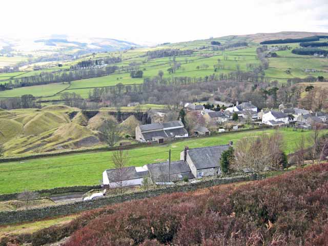
Crawleyside
- Overview Map Street View Crawleyside is a hillside village in Weardale, less than half a mile to the north of Stanhope in County Durham. Much of the village is located …
Co-Curate Page
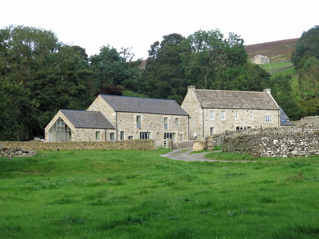
Shittlehope
- Overview Map Street View Shittlehope is a hamlet in County Durham, located to the south-east of Stanhope. Shittlehope Burn flows in a south-west direction by Shittlehope Edge, past Shittlehopeside (ruined …
Co-Curate Page
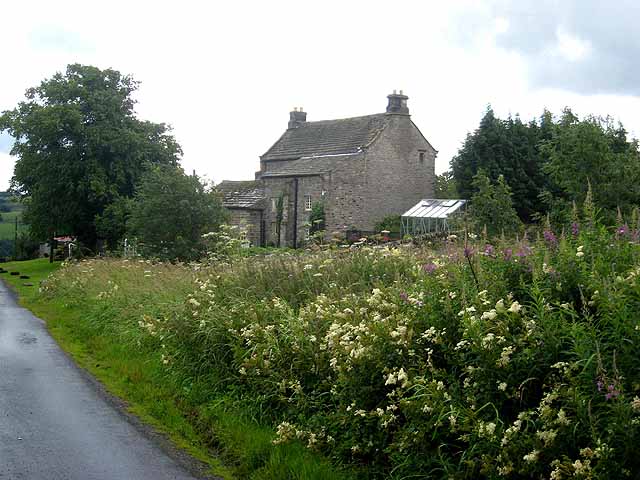
Greenhead, Stanhope
- Overview Map Street View Greenhead (aka Green Head) is a hamlet / farm located about 1 mile west of Stanhope, in County Durham. The farmhouse (Greehead Hall) here dates from …


from https://www.stanhopeparishcou…
Stanhope Parish Council
- "...Stanhope Parish Council is the largest in England with an area of 85 square miles and has a population of 4581 at the last census in 2011. There are 2421 …
Added by
Simon Cotterill

Co-Curate Page
Stanhope
- Overview About Stanhope Map Street View Stanhope (pronounced in the regional dialect "Stanup") is a small market town in County Durham, in England. It is situated on the River …

Co-Curate Page
Rookhope
- Overview About Rookhope Map Street View Rookhope is a village in the Pennines in County Durham, in the past the area was associated with lead mining and fluorspar mining. Rookhope is …

Co-Curate Page
Lanehead
- Overview About Lanehead Map Street View Lanehead is a village in County Durham, located by Killhope Burn, near the top of Weardale, and close to the county border with Cumbria. …

Co-Curate Page
Eastgate
- Overview About Eastgate Map Street View Eastgate is a village in Weardale, County Durham, located about two and a half miles west of Stanhope. The village is situated by the …

Co-Curate Page
Ireshopeburn
- Overview About Ireshopeburn Map Street View Ireshopeburn is a village in County Durham, located in Weardale on the A689 road between Wearhead and St John's Chapel. Ireshopeburn is a village …

Co-Curate Page
Wearhead
- Overview About Wearhead Map Wearhead is a picturesque village in County Durham, located at the start of Weardale where the River Wear is begins at the confluence of Burnhope Burn …

Co-Curate Page
Frosterley
- Overview About Frosterley Map Street View Frosterley is a village in County Durham located by the River Wear in Weardale, between Wolsingham and Stanhope. Frosterley has a station on the …

Co-Curate Page
St John's Chapel
- Overview About St John's Chapel Map Street View St John's Chapel is a village in County Durham, located in Weardale between Ireshopeburn and Daddry Shield. St John's Chapel is a …

Co-Curate Page
Cowshill
- Overview Map Street View Cowshill is a village in Upper Weardale in County Durham, situated by Killhope Burn and within the North Pennines Area of Outstanding Natural Beauty. Cowshill is located …

Co-Curate Page
Crawleyside
- Overview Map Street View Crawleyside is a hillside village in Weardale, less than half a mile to the north of Stanhope in County Durham. Much of the village is located …

Co-Curate Page
Shittlehope
- Overview Map Street View Shittlehope is a hamlet in County Durham, located to the south-east of Stanhope. Shittlehope Burn flows in a south-west direction by Shittlehope Edge, past Shittlehopeside (ruined …

