Topics > Northumberland > Civil Parishes in Northumberland > Shotley Low Quarter Civil Parish
Shotley Low Quarter Civil Parish
Parish boundaries may have changed - for the latest map see the Parish Council or Northumberland County Council.
About the Parish
Shotley Low Quarter is a civil parish in the south of Northumberland, on the border with County Durham. The parish is immediately to the east of the town of Shotley Bridge in County Durham.
| Settlements: |
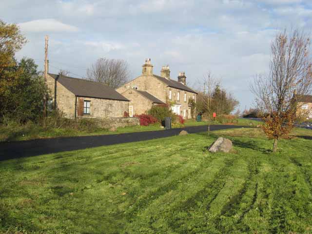
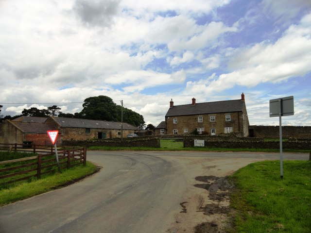
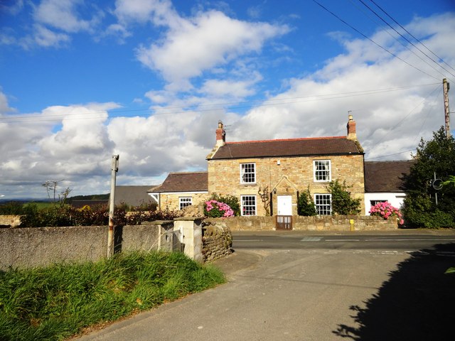
Allensford, Black Hedley, Carterway Heads, Greenhead, Greymare Hill, High Waskerley, Kiln Pit Hill, Low Waskerley, Newlands, Shotleyfield, Whittonstall |
| Population: |
581 (2021 Census) 583 (2011 Census) 543 (2001 Census) |
| Area: | 44.3 km² |
| Parish Council: | Shotley Low Quarter Parish Council |
| Unitary Authority: | Northumberland County Council |
Historical |
|
|
Ancient Townships: (in modern CP area) |
Shotley Low Quarter (Shotley Parish)
Newlands (Bywell St Peter's Parish) Whittonstall (Bywell St Peter's Parish)
Townships became civil parishes in their own right in 1866 (see below). |
| Ancient Parishes: |
The ancient parish included the three townships of Shotley Low Quarter (Shotley), Shotley High Quarter (Blanchland), and Newbiggin. Population: 800 in 1801, rising to 1,227 in 1851. Gazetteers (directories):
Population: 1,303 in 1801, and 1,674 in 1851 Gazetteers (directories):
Ancient parishes refer to the parishes before the split between ecclesiastical (church) and civil parishes in the 19th century. They had a parish church and often were composed of multiple townships and chapelries. In many cases, townships and parishes were originally based on the territory of manors from the feudal system during medieval times. Civil parishes were created following the Poor Law Amendment Act 1866, in which Church of England parishes, extra-parochial areas, townships and chapelries, became "civil parishes" which could set their own poor rate (tax). The reforms of Local Government Act 1894 established elected civil parish councils (or parish meetings for parishes with less than 300 residents) and created urban and rural districts. Boundaries of parishes and civil parishes may have changed over time. |
| Ancient District: |
Tynedale (ward) |
| Poor Law Union: |
Hexham Poor Law Union, formed in 1836. Hexham Union Workhouse was located on Dean Street in Hexham, opening in 1839. This replaced smaller existing workhouses in Corbridge, Hexham and Horsley. Under the Poor Law Amendment Act of 1834 parishes were grouped into Unions, each of which had to build a workhouse if they did not already have one. It ended the old system of locally provided poor relief which had come under strain as numbers out of work grew, following increasing mechanisation of agriculture and the economic downturn after the Napoleonic Wars, along with changing social attitudes. The workhouse provided those unable to support themselves financially with accommodation and work. Inmates were generally segregated into men, women, boys and girls. The workhouse system was abolished by the Local Government Act 1929, but many workhouses lived on as ‘Public Assistance Institutions’ until the National Assistance Act 1948. |
|
Major Boundary Change: |
Shotley Low Quarter Civil Parish expanded by 3,827 acres in April 1955, when it absorbed Newlands and Whittonstall civil parishes. |
|
District Council: |
Hexham Rural District (1894 - 1974). The district was abolished in 1974, following the Local Government Act 1972. Tynedale District (1974 - 2009). Tynedale covered the area of 5 former districts (Hexham Urban District, Prudhoe Urban District, Bellingham Rural District, Haltwhistle Rural District, and Hexham Rural District). The borough council was abolished when Northumberland County Council became a unitary authority on the 1st of April 2009. |
|
County / Unitary Authority |
In 1572 Parliament passed a bill annexing Hexham and Hexamshire to the County of Northumberland. The ancient county of Northumberland was enlarged following the Counties (Detached Parts) Act 1844; Bedlingtonshire, Norhamshire, Islandshire, the Farne Islands and Monks' House all became part of Northumberland. Up to then they had been enclaves of County Durham. Northumberland County Council formed 1889. Major boundary changes came into effect on the 1st April 1974. This followed the Local Government Act 1972, which formed the non-metropolitan county of Northumberland. This excluded the City of Newcastle upon Tyne and North Tyneside, which up to then had been part of Northumberland, but now became part of the newly formed Tyne & Wear. Northumberland County Council became a unitary authority on the 1st of April 2009. |
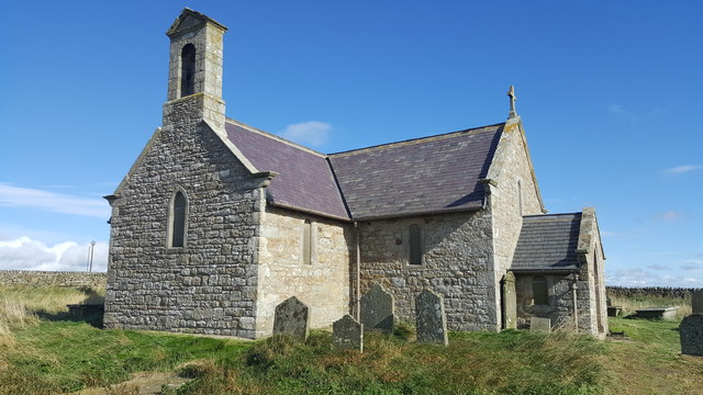
See also: ![]() Historic Buildings and Monuments in Shotley Low Quarter Civil Parish. Note: listed buildings are generally the responsibility of the county council / unitary authority, rather than the parish council.
Historic Buildings and Monuments in Shotley Low Quarter Civil Parish. Note: listed buildings are generally the responsibility of the county council / unitary authority, rather than the parish council.

from https://keystothepast.info/se…
Local History: Shotley Low Quarter (Northumberland)
- "The parish of Shotley Low Quarter lies on the southern edge of Northumberland along its boundary with County Durham. In fact, the main settlement of Shotley Bridge lies on the …
Added by
Simon Cotterill
Co-Curate Page
Greymare Hill
- Overview Map Street View Greymare Hill is a hamlet in the parish of Shotley Low Quater in Northumberland, located just west of the hamlet of Kiln Pit Hill, and just …
Co-Curate Page
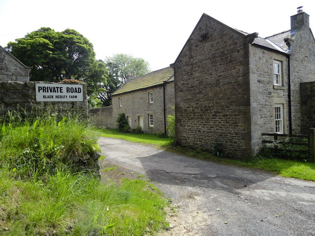
Whittonstall
- Overview Map Street View Whittonstall is a village in Northumberland, located about 4 miles north-west of Consett in County Durham, and 3 miles south of Stocksfield. Within the village is …
Co-Curate Page
Newlands, near Ebchester
- Overview Map Street View Newlands is a hamlet in Northumberland, located near the border with County Durham and about ¾mile west of Ebchester and 1½mile north of Shotley Bridge. A …
Co-Curate Page
Carterway Heads
- Overview Map Street View Carterway Heads is a hamlet in Northumberland, located close to the county border with County Durham, about 3 miles west of Shotley Bridge. There are a …
Co-Curate Page
Allensford
- Overview About Allensford Map Street View Allensford is a hamlet and country park to the west of Consett, it straddles County Durham and Northumberland. It has been a crossing place over …
Co-Curate Page
Whittonstall Sproats
- Overview Map Street View Whittonstall Sproats is a hamlet located about ¼mile south-west of the village of Whittonstall. In addition to Sproats Farm, there are farm cottages and a couple …


from https://keystothepast.info/se…
Local History: Shotley Low Quarter (Northumberland)
- "The parish of Shotley Low Quarter lies on the southern edge of Northumberland along its boundary with County Durham. In fact, the main settlement of Shotley Bridge lies on the …
Added by
Simon Cotterill
Co-Curate Page
Greymare Hill
- Overview Map Street View Greymare Hill is a hamlet in the parish of Shotley Low Quater in Northumberland, located just west of the hamlet of Kiln Pit Hill, and just …
Co-Curate Page
Whittonstall
- Overview Map Street View Whittonstall is a village in Northumberland, located about 4 miles north-west of Consett in County Durham, and 3 miles south of Stocksfield. Within the village is …
Co-Curate Page
Newlands, near Ebchester
- Overview Map Street View Newlands is a hamlet in Northumberland, located near the border with County Durham and about ¾mile west of Ebchester and 1½mile north of Shotley Bridge. A …
Co-Curate Page
Carterway Heads
- Overview Map Street View Carterway Heads is a hamlet in Northumberland, located close to the county border with County Durham, about 3 miles west of Shotley Bridge. There are a …
Co-Curate Page
Allensford
- Overview About Allensford Map Street View Allensford is a hamlet and country park to the west of Consett, it straddles County Durham and Northumberland. It has been a crossing place over …
Co-Curate Page
Whittonstall Sproats
- Overview Map Street View Whittonstall Sproats is a hamlet located about ¼mile south-west of the village of Whittonstall. In addition to Sproats Farm, there are farm cottages and a couple …

Northumberland
Civil Parishes in Northumberland

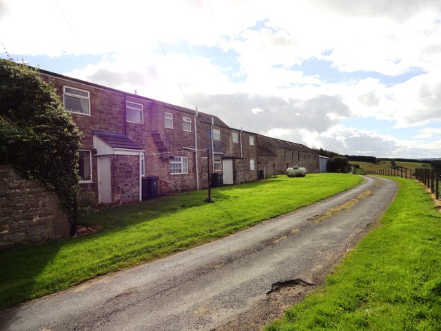
Allensford Mill
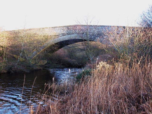
Derwent Bridge near Derwent Reservoir
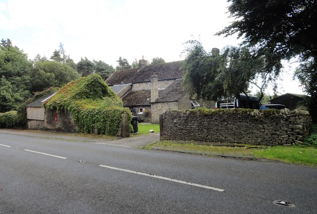
Hill Top, Shotley Low Quarter
Historic Buildings and Monuments in Shotley Low Quarter
Shotley Conservation Area

Shotley Hall

Shotley Parish, 1848

Shotley Parish, 1855