Topics > Northumberland > Whittonstall
Whittonstall
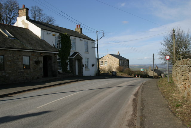
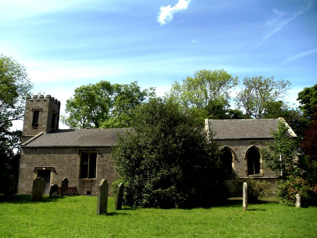
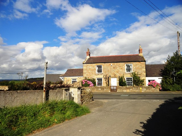
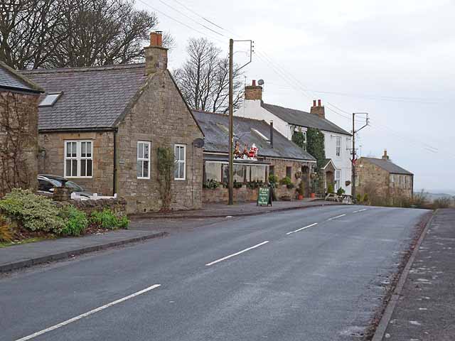
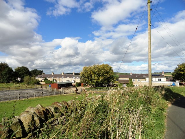
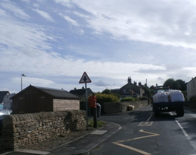
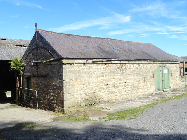
Whittonstall is a village in Northumberland, located about 4 miles north-west of Consett in County Durham, and 3 miles south of Stocksfield. Within the village is the Anchor Inn, Whittonstall First School, and St. Philip & St. James' Church. Whittonstall is built on the route of Dere Street Roman road. In medieval times there was an extensive manorial site centred around Whittonstall Hall, which occupied a site on the summit of the hill, just south of todays village. Historically, Whittonstall was a chapelry in the ancient parish of Bywell, St Peter. Following the Poor Law Amendment Act 1866, Whittonstall became a separate Civil Parish. This was abolished in 1955, and since then, Whittonstall has been part of Shotley Low Quarter Civil Parish.
WHITTONSTALL, a chapelry, in the parish of Bywell St. Peter, union of Hexham, E. division of Tindale ward, S. division of Northumberland, 10 miles (S.E. by E.) from Hexham; containing 184 inhabitants. It is situated on the Roman Watling-street, and is the property of Greenwich Hospital. The living is a perpetual curacy; net income, £45; patrons, the Dean and Chapter of Durham. The chapel, dedicated to St. Philip and St. James, has been rebuilt. The governors of the hospital allow £15 a year to a master for teaching children.
Extract from: A Topographical Dictionary of England comprising the several counties, cities, boroughs, corporate and market towns, parishes, and townships..... 7th Edition, by Samuel Lewis, London, 1848.

from https://historicengland.org.u…
WHITTONSTALL OLD VICARAGE - List Entry
- House, formerly vicarage, c. 1830. Coursed stone with cut quoins and dressings; slate roof. Main part 2 storeys, 3 bays. Projecting central cross-gabled bay with panelled double doors beneath 16-pane …
Added by
Simon Cotterill

from https://keystothepast.info/se…
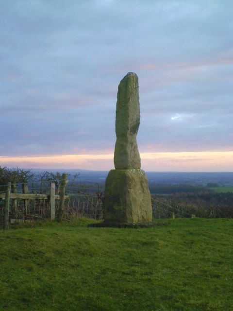
Whittonstall manorial site (Shotley Low Quarter)
- Whittonstall Hall occupied a site on the summit of a hill, close to the Roman road Dere Street. No ruins remain, only some ridges and mounds; but there are some …
Added by
Simon Cotterill
Co-Curate Page
Dere Street
- Overview About Dere Street Dere Street was the Roman road which ran north from Eboracum (York) to Hadrian's Wall and beyond to the Antonine Wall in Scotland. The road connected …

from https://historicengland.org.u…
WHITTONSTALL OLD VICARAGE - List Entry
- House, formerly vicarage, c. 1830. Coursed stone with cut quoins and dressings; slate roof. Main part 2 storeys, 3 bays. Projecting central cross-gabled bay with panelled double doors beneath 16-pane …
Added by
Simon Cotterill
from https://keystothepast.info/se…
Whittonstall manorial site (Shotley Low Quarter)
- Whittonstall Hall occupied a site on the summit of a hill, close to the Roman road Dere Street. No ruins remain, only some ridges and mounds; but there are some …
Added by
Simon Cotterill