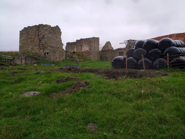
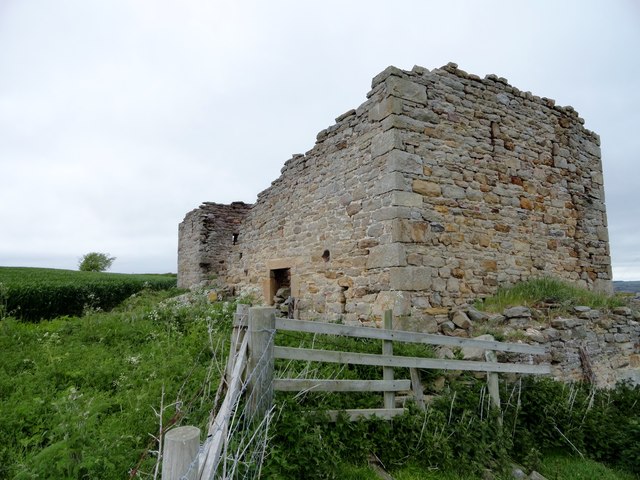
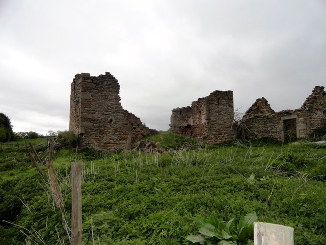
from Geograph (geograph)
Hill Top

Pinned by Simon Cotterill
from Geograph (geograph)
Ruined farmhouse at Hill Top

Pinned by Simon Cotterill
from Geograph (geograph)
Ruins at Hill Top

Pinned by Simon Cotterill
from https://keystothepast.info/se…
Well (Shotley Low Quarter)
- A Well is shown on the first edition Ordnance Survey Map of 1864.

Added by
Simon Cotterill

Comments

Add a comment or share a memory.

Login to add a comment. Sign-up if you don't already have an account.


ABOUT US

Co-Curate is a project which brings together online collections, museums, universities, schools and community groups to make and re-make stories and images from North East England and Cumbria. Co-Curate is a trans-disciplinary project that will open up 'official' museum and 'un-officia'l co-created community-based collections and archives through innovative collaborative approaches using social media and open archives/data.

LATEST SHARED RESOURCES