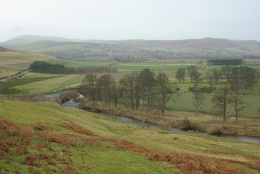
Topics > Geography > Rivers > River Till
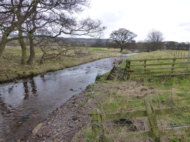
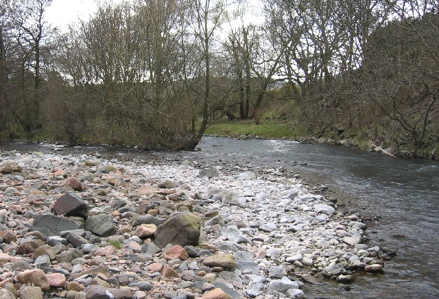
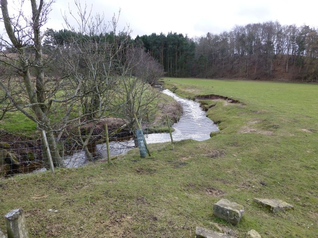
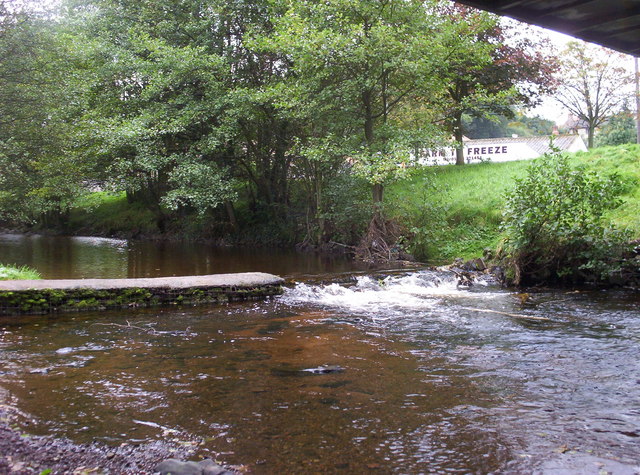
River Till
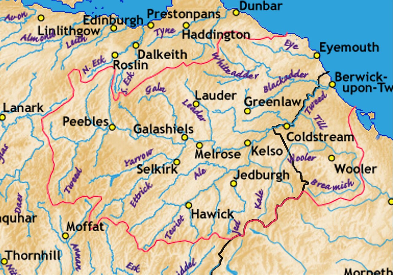
Interactive map showing the river and catchment area - downstream of the information point it is known as the River Breamish and upstream as the River Till.
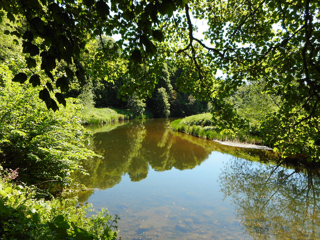
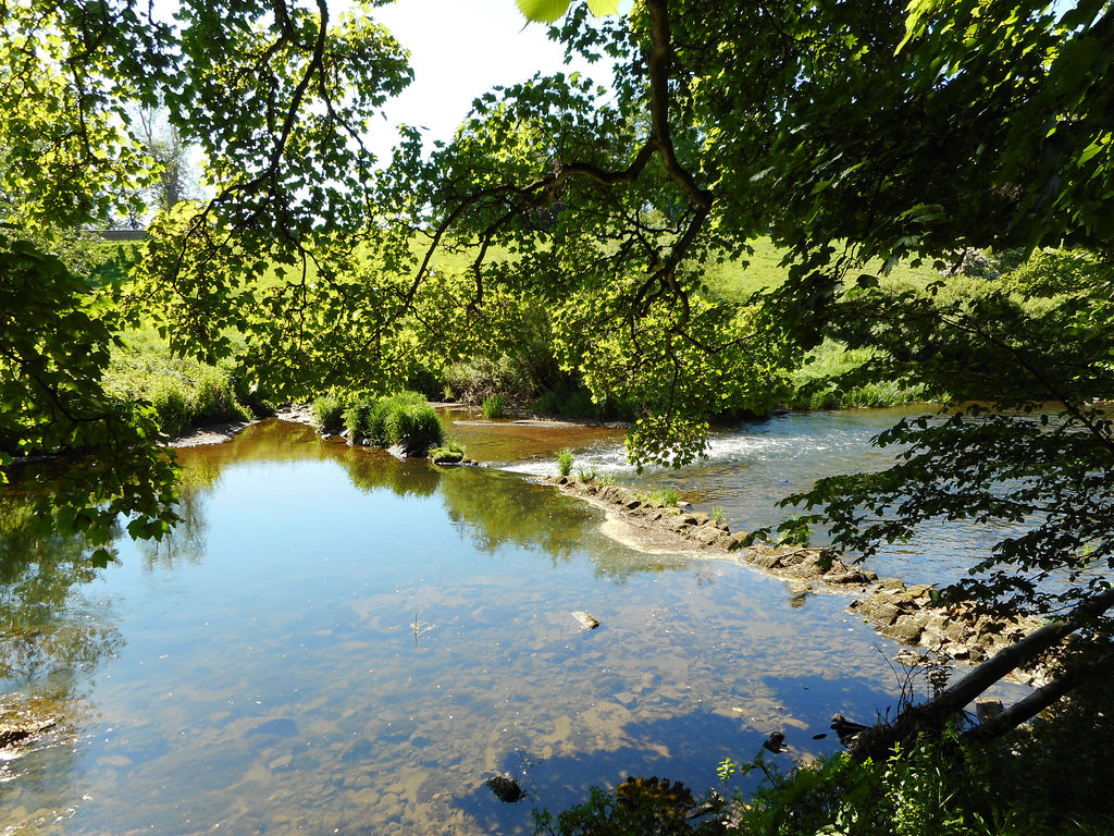
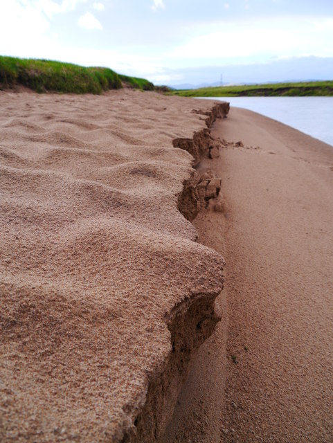
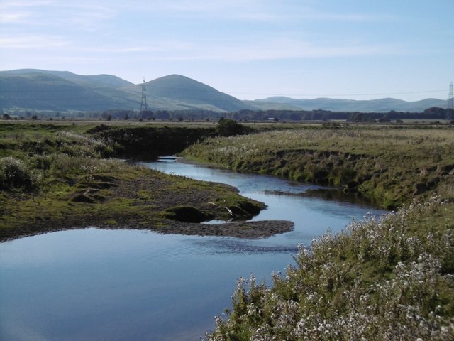
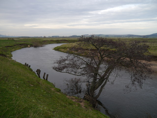
The River Till is one of a number of tributaries of the River Tweed, but the only one to flow completely in England. The Till iself has several tributaries including, Lilburn Burn, Hetton Burn, Roddam Burn, Wooler Water and the River Glen. Rather unusually the upstream section of the river, above Bewick Bridge, is named the River Breamish. The river (Breamish and Till combined) is about 83km long.
Not to be confused with the River Till in Wiltshire.
from https://commons.wikimedia.org…
Tributaries of the River Tweed catchment
- Image by Notuncurious available on a Creative Commons Attribution-Share Alike 3.0 Unported license.
Added by
Pat Thomson
from Flickr (flickr)
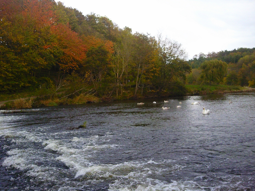
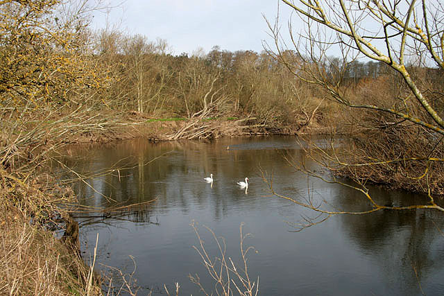
Swans & cygnets in River Till, Etal, Northumberland, England
Pinned by Pat Thomson
from Flickr (flickr)
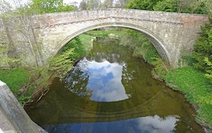
Twizel Bridge over the River Till in Northumberland, England
Pinned by Pat Thomson
from Flickr (flickr)
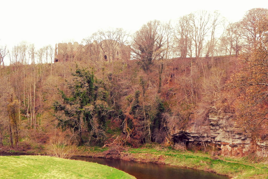
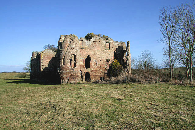
Ruins of Twizel Castle above River Till in Northumberland, England
Pinned by Pat Thomson
from Flickr (flickr)
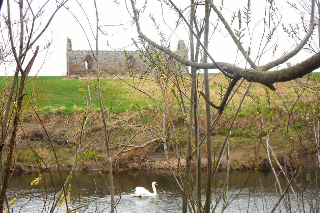
Ruin by River Till just before it flows into River Tweed in Northumberland, England
Pinned by Pat Thomson
from Flickr (flickr)
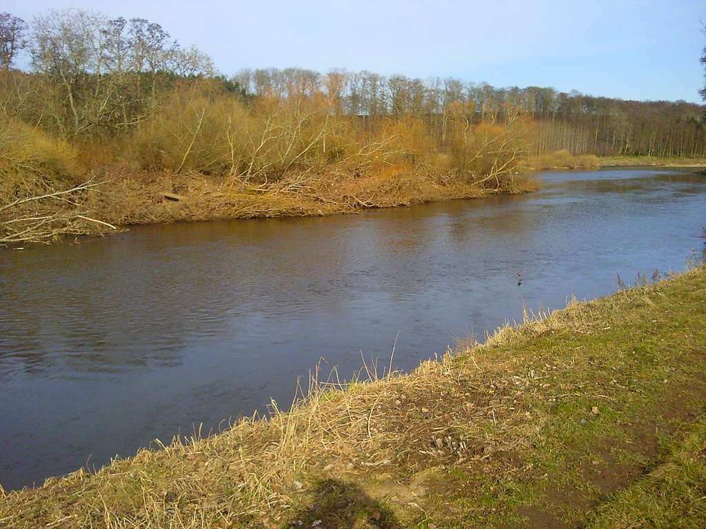
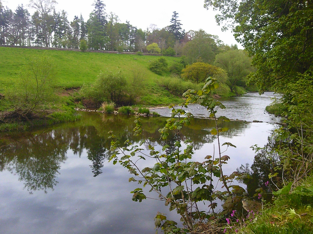
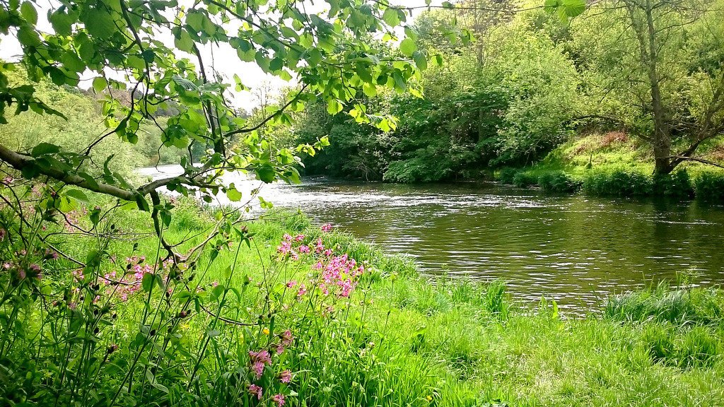
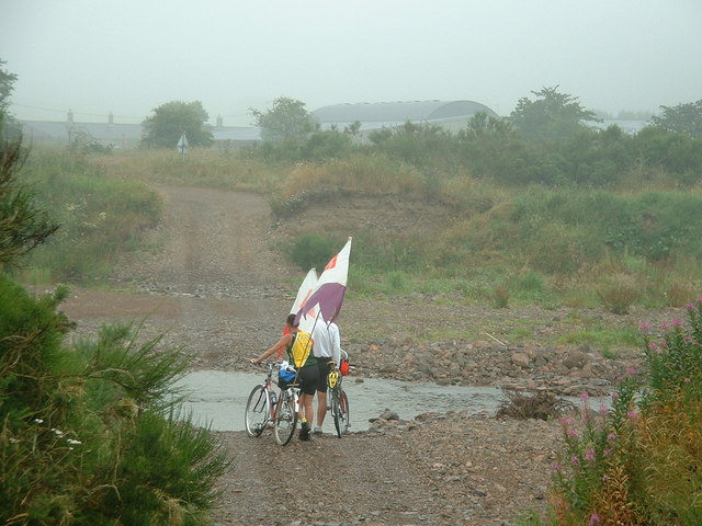
View of River Till from walk near Etal in Northumberland, England
Pinned by Pat Thomson
Co-Curate Page
Etal
- Overview About Etal Map Street View Etal is a small village in the far north of the county of Northumberland, England which shares a parish with nearby Ford. It …
Co-Curate Page
Chatton
- Overview About Chatton Map Street View Chatton is a village in Northumberland, in England. It is roughly 6km to the east of Wooler. History A rock overhang at nearby …
Co-Curate Page
River Tweed
- Overview About the River Tweed The River Tweed is a major river which flows east through the Scottish Borders and into Northumberland, discharging into the North Sea at Berwick-upon-Tweed. From …
Co-Curate Page
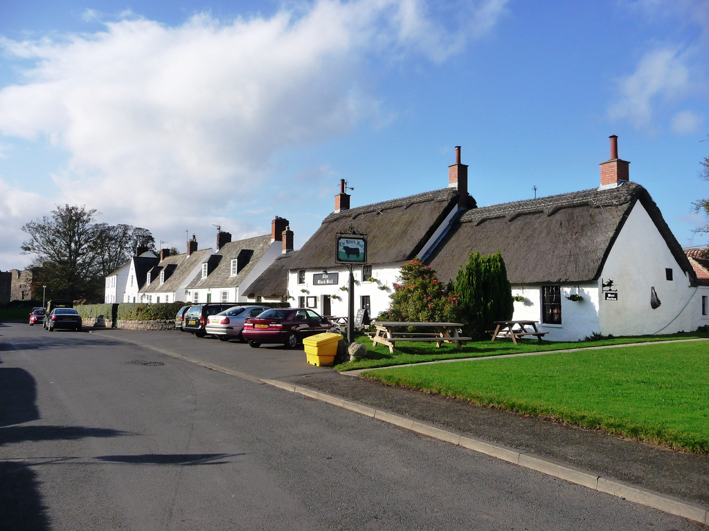
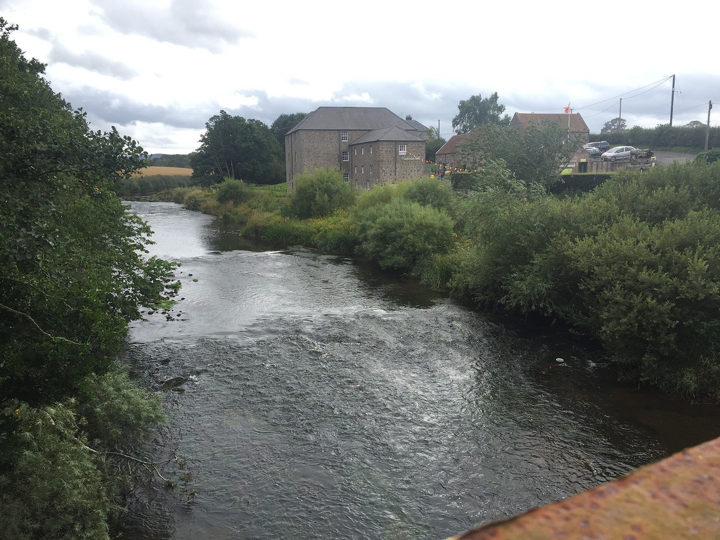
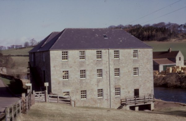
Heatherslaw Mill
- Overview Map Street View An 18th century watermill by the River Till in Heatherlaw, near Etal, in Northumberland. It is a double mill with two water wheels. The mill is …
Co-Curate Page
Chillingham
- Overview About Chillingham 1872 Description Map Street View Chillingham Castle Italian Gardens St Peter's Church West Lodge East Lodge Chillingham Park Wild Cattle Deer Sheds Fountain Hepburn Bastle Chillingham is …
Co-Curate Page
Crookham
- Overview About Crookham Map Street View CROOKHAM, or Crecum, a township, in the parish of Ford, union, and W. division of the ward, of Glendale, N. division of Northumberland, 4½ …

Co-Curate Page
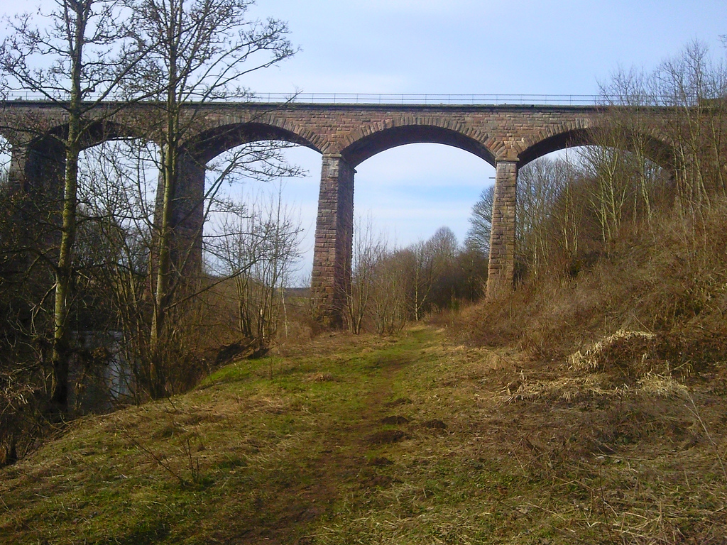
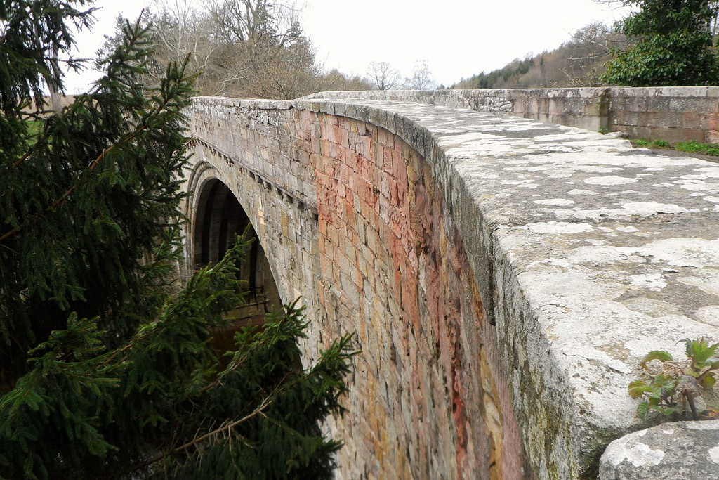
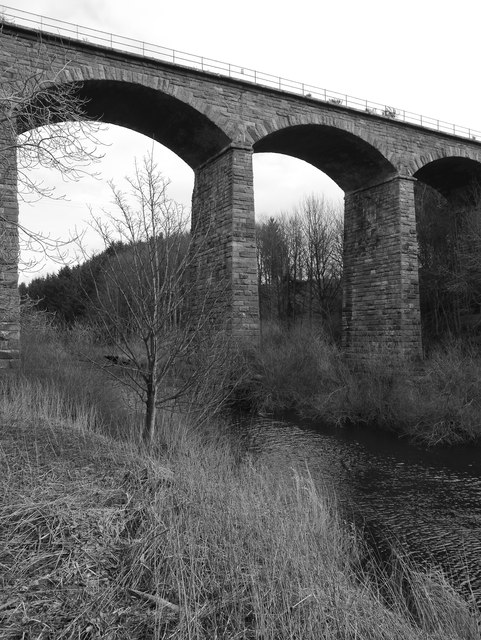
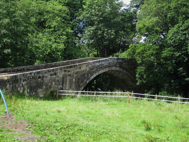
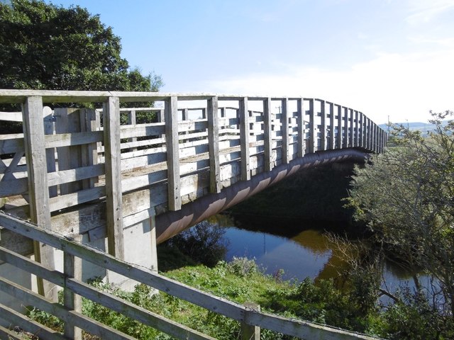
Twizel Viaduct
- Twizel Viaduct was built between 1846 and 1849 by the Newcastle & Berwick Railway, to carry the Tweedmouth to Kelso railway branch line over the River Till at Twizell in …
Co-Curate Page
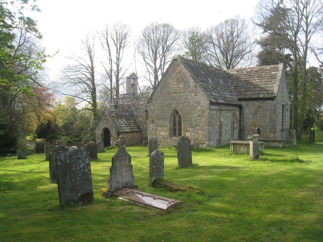
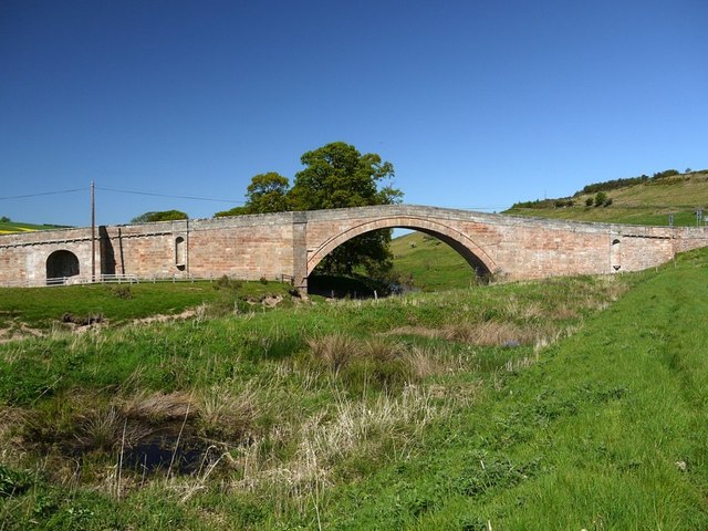
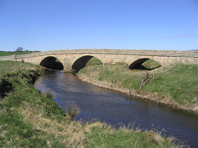
Bewick Bridge
- Overview Map Street View The stone road bridge near Old Bewick in Northumberland was built in the early 19th century, or possibly earlier. There is also a small hamlet by …
Co-Curate Page
Weetwood Bridge, over River Till
- Overview Map Street View Weetwood Bridge is a single span stone bridge over the River Till, located near Weetwood Hall, and about a mile and a half north-east of Wooler and …
Co-Curate Page
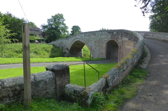
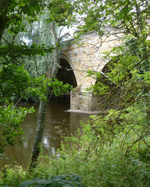
Fowberry Bridge
- Overview Map Street View Fowberry Bridge, over the River Till, was built in 1825, for Matthew Culley of Fowberry Tower. The bridge at Fowberry has one arch over the river …
Co-Curate Page
Milfield
- Overview About Milfield Map Street View MILFIELD, a township, in the parish of KirkNewton, union of Glendale, W. division of Glendale ward, N. division of Northumberland, 5¾ miles (N.W.) from …
Co-Curate Page
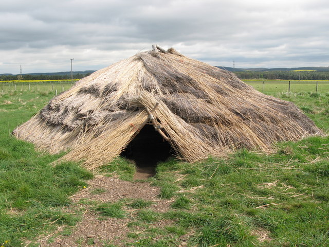
Maelmin Heritage Trail
- There were ancient settlements to the east of the modern village of Milfield, by the River Till. The royal Anglo-Saxon palace of Maelmin was founded here in the late 7th …
Co-Curate Page
Fowberry
- Overview Map Street View Fowberry is a hamlet situated by the River Till in Northumberland, located about 3 miles east of Wooler and a mile north-west of Chatton. There was …
Co-Curate Page
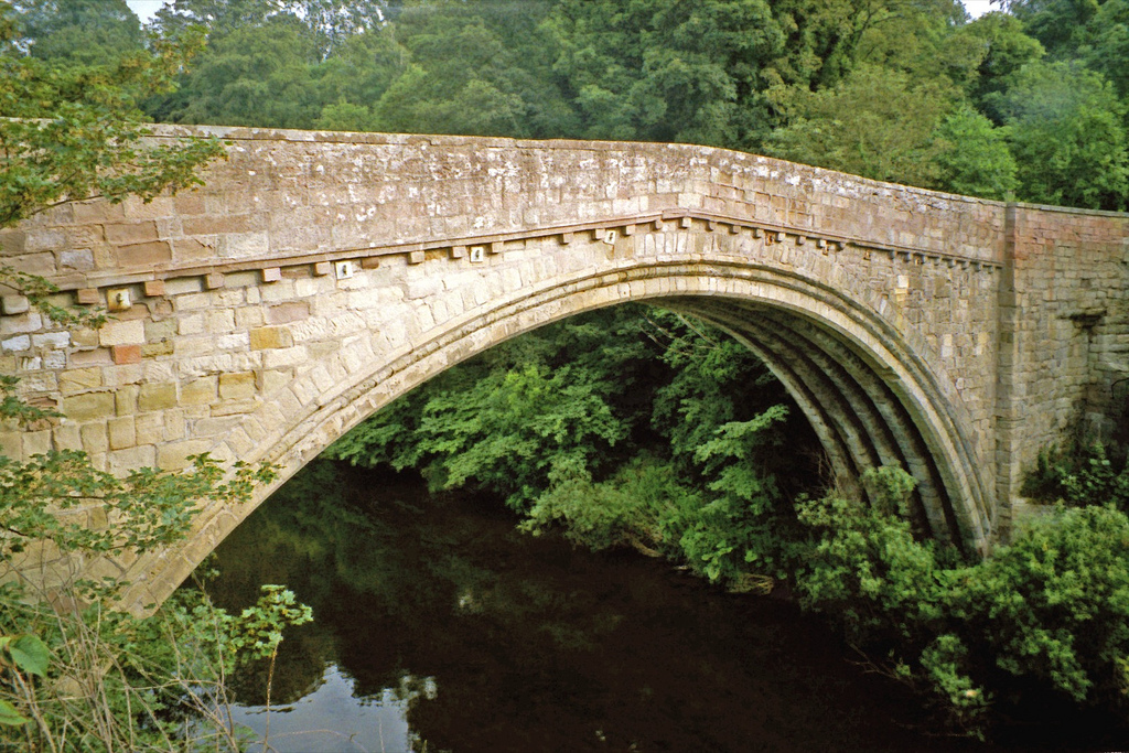
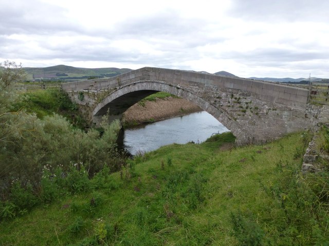
Ford Bridge
- Overview Map Street View Ford Bridge carries the B6353 road over the River Till, about half a mile west of Ford village. The current bridge was built in 1809, but …

from https://commons.wikimedia.org…
Tributaries of the River Tweed catchment
- Image by Notuncurious available on a Creative Commons Attribution-Share Alike 3.0 Unported license.
Added by
Pat Thomson
from Flickr (flickr)
Swans & cygnets in River Till, Etal, Northumberland, England
Pinned by Pat Thomson
from Flickr (flickr)
Twizel Bridge over the River Till in Northumberland, England
Pinned by Pat Thomson
from Flickr (flickr)
Ruins of Twizel Castle above River Till in Northumberland, England
Pinned by Pat Thomson
from Flickr (flickr)
Ruin by River Till just before it flows into River Tweed in Northumberland, England
Pinned by Pat Thomson
from Flickr (flickr)
View of River Till from walk near Etal in Northumberland, England
Pinned by Pat Thomson
Co-Curate Page
Etal
- Overview About Etal Map Street View Etal is a small village in the far north of the county of Northumberland, England which shares a parish with nearby Ford. It …
Co-Curate Page
Chatton
- Overview About Chatton Map Street View Chatton is a village in Northumberland, in England. It is roughly 6km to the east of Wooler. History A rock overhang at nearby …
Co-Curate Page
River Tweed
- Overview About the River Tweed The River Tweed is a major river which flows east through the Scottish Borders and into Northumberland, discharging into the North Sea at Berwick-upon-Tweed. From …
Co-Curate Page
Heatherslaw Mill
- Overview Map Street View An 18th century watermill by the River Till in Heatherlaw, near Etal, in Northumberland. It is a double mill with two water wheels. The mill is …
Co-Curate Page
Chillingham
- Overview About Chillingham 1872 Description Map Street View Chillingham Castle Italian Gardens St Peter's Church West Lodge East Lodge Chillingham Park Wild Cattle Deer Sheds Fountain Hepburn Bastle Chillingham is …
Co-Curate Page
Crookham
- Overview About Crookham Map Street View CROOKHAM, or Crecum, a township, in the parish of Ford, union, and W. division of the ward, of Glendale, N. division of Northumberland, 4½ …
Co-Curate Page
Twizel Viaduct
- Twizel Viaduct was built between 1846 and 1849 by the Newcastle & Berwick Railway, to carry the Tweedmouth to Kelso railway branch line over the River Till at Twizell in …
Co-Curate Page
Bewick Bridge
- Overview Map Street View The stone road bridge near Old Bewick in Northumberland was built in the early 19th century, or possibly earlier. There is also a small hamlet by …
Co-Curate Page
Weetwood Bridge, over River Till
- Overview Map Street View Weetwood Bridge is a single span stone bridge over the River Till, located near Weetwood Hall, and about a mile and a half north-east of Wooler and …
Co-Curate Page
Fowberry Bridge
- Overview Map Street View Fowberry Bridge, over the River Till, was built in 1825, for Matthew Culley of Fowberry Tower. The bridge at Fowberry has one arch over the river …
Co-Curate Page
Milfield
- Overview About Milfield Map Street View MILFIELD, a township, in the parish of KirkNewton, union of Glendale, W. division of Glendale ward, N. division of Northumberland, 5¾ miles (N.W.) from …
Co-Curate Page
Maelmin Heritage Trail
- There were ancient settlements to the east of the modern village of Milfield, by the River Till. The royal Anglo-Saxon palace of Maelmin was founded here in the late 7th …
Co-Curate Page
Fowberry
- Overview Map Street View Fowberry is a hamlet situated by the River Till in Northumberland, located about 3 miles east of Wooler and a mile north-west of Chatton. There was …


