Topics > Geography > Rivers > River Till > River Glen
River Glen
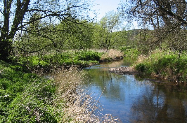
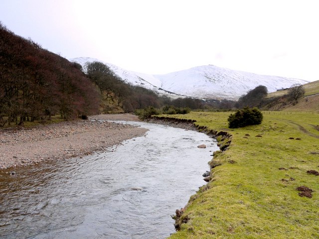
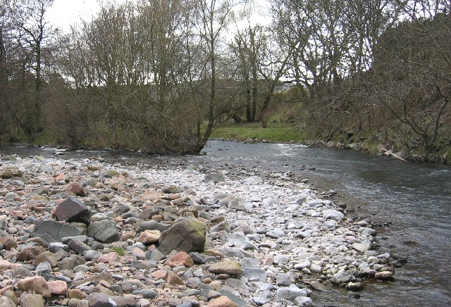
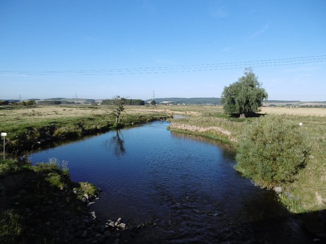
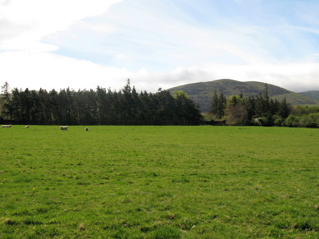
The River Glen in Northumberland is a 7 mile long tributary of the River Till. The River Glen is formed at the confluence of College Burn and Bowmont Water near Kirknewton. The river flows past Yeavering, Lanton, Coupland, Akeld and Ewart, before joining the River Till. The River Till is itself a tributary of the River Tweed.
The River Glen is a seven mile long tributary of the River Till flowing through Northumberland, England. The College Burn and Bowmont Water, both flowing out of the Cheviot Hills, meet near Kirknewton to form the River Glen. The Glen flows past the small settlements of Yeavering, Lanton, Coupland, Akeld and Ewart, before joining the Till.
History
The area around the Glen is rich in historical and archaeological interest. Iron Age hilltop forts on peaks to the south of the river overlook the Anglian settlement and palace site at Yeavering, where St. Paulinus baptised new converts and, according to Bede, "washed them with the water of absolution in the river Glen, which is close by" (Tomlinson, 1888, p. 504).
Because there is a reference to a similarly named river in Historia Brittonum by the Welsh author Nennius, some (Ekwal, 1928; Hunt, 2005) have hypothesized that the legendary British warrior Arthur began his campaign against Anglo-Saxon invaders near the confluence of the Glen and Till:
:Then it was, that Arthur, with all the kings and military force of Britain, fought against the Saxons. And though there were many more noble than himself, yet he was twelve times chosen their commander, and was as often conqueror. The first battle in which he was engaged, was at the mouth of the river Glein.
The area around the Glen was the setting for some of the bloodiest border warfare between Scotland and England. The Battle of Humbleton Hill was fought near the river in 1402, as was the Battle of Geteryne (Yeavering) in 1415.
Hydrology
Between 1966 and 2010 the flow of the Glen, was measured in its lower reaches at a weir near Kirknewton. The 44 year record shows that the catchment of to the gauging station yielded an average flow of .
Ekwall, E. (1928). English river names (reprinted 1968). Oxford, UK: Oxford University Press.
Hunt, A. (2005). From Glein to Camlann: The life and death of King Arthur. Vortigern Studies.
Tomlinson, W. W. (1888). Comprehensive guide to the county of Northumberland (reprinted 1968). Trowbridge, UK: Redwood.
Visit the page: River Glen, Northumberland for references and further details. You can contribute to this article on Wikipedia.

Co-Curate Page
River Till
- Interactive map showing the river and catchment area - downstream of the information point it is known as the River Breamish and upstream as the River Till. The River Till …
Co-Curate Page
Akeld
- Overview About Map Street View Akeld is a village in Northumberland. It is located by Akeld Burn near its confluence with the River Glen. During the middle ages the area …
Co-Curate Page
Kirknewton
- Overview About Kirknewton Map Street View From Eneas Mackenzie (1825) An Historical, Topographical, and Descriptive View of the County of Northumberland KIRK NEWTON is situate five miles west north west from …
Co-Curate Page
Coupland
- Overview About Coupland Map Street View Coupland is a hamlet in Northumberland, located by the River Glen, about 4 miles north-west of Wooler and 4 miles south of Ford. There …
Co-Curate Page
Lanton
- Overview Map Street View Lanton in Northumberland is a small settlement located by the River Glen about 4 miles north-west of Wooler and half a mile west of Coupland. The …
Co-Curate Page
Westnewton, Northumberland
- Overview Map Street View NEWTON, WEST, a township, in the parish of Kirk-Newton, union of Glendale, W. division of Glendale ward, N. division of Northumberland, 5¾ miles (W. by N.) …

Co-Curate Page
Glendale Ward, 1855
- Extract from: History, Topography, and Directory of Northumberland...Whellan, William, & Co, 1855. GLENDALE WARD GLENDALE WARD, comprising one market town, Wooler, and nine parishes, is bounded on the north …

Co-Curate Page
River Till
- Interactive map showing the river and catchment area - downstream of the information point it is known as the River Breamish and upstream as the River Till. The River Till …
Co-Curate Page
Akeld
- Overview About Map Street View Akeld is a village in Northumberland. It is located by Akeld Burn near its confluence with the River Glen. During the middle ages the area …
Co-Curate Page
Kirknewton
- Overview About Kirknewton Map Street View From Eneas Mackenzie (1825) An Historical, Topographical, and Descriptive View of the County of Northumberland KIRK NEWTON is situate five miles west north west from …
Co-Curate Page
Coupland
- Overview About Coupland Map Street View Coupland is a hamlet in Northumberland, located by the River Glen, about 4 miles north-west of Wooler and 4 miles south of Ford. There …
Co-Curate Page
Lanton
- Overview Map Street View Lanton in Northumberland is a small settlement located by the River Glen about 4 miles north-west of Wooler and half a mile west of Coupland. The …
Co-Curate Page
Westnewton, Northumberland
- Overview Map Street View NEWTON, WEST, a township, in the parish of Kirk-Newton, union of Glendale, W. division of Glendale ward, N. division of Northumberland, 5¾ miles (W. by N.) …