Topics > Cumbria > Rivers in Cumbria > River Eden (Cumbria) > River Petteril
River Petteril
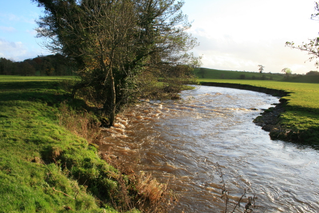
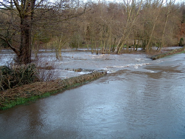
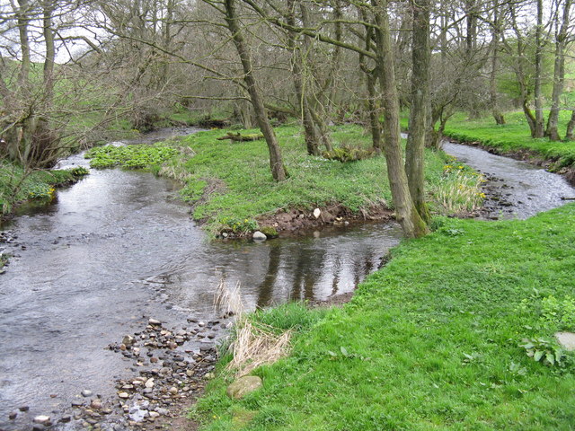
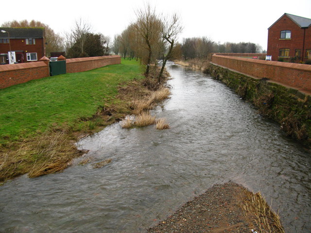
The River Petteril is a river in Cumbria, which is a tributary of the River Eden. The river arises near the village of Penruddock and flows roughly north-easterly to Greystoke, where it is joined by the River North Petteril. Other tributaries of the Petteril include Stony Beck, Calthwaite Beck, Blackrack Beck, and Woodside Beck. The Petteril is crossed by the M6 mototway and eventually joins the Eden at Carlisle.
The River Petteril is a river running through the English county of Cumbria.
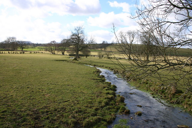
The source of the Petteril is near Penruddock and Motherby, from where the young river runs southeast through Greystoke, Blencow and Newton Reigny, before passing under the M6 motorway, after which the river turns north, and the motorway roughly follows the course of the river towards Carlisle.
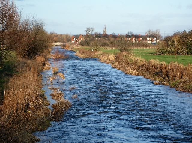
Having reached Carlisle, the Petteril runs a course through the south east of Carlisle, dividing the suburbs of Harraby, Upperby and Botcherby before joining the River Eden on its journey to the Solway Firth.
Visit the page: River Petteril for references and further details. You can contribute to this article on Wikipedia.
Co-Curate Page
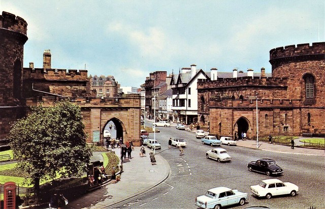
Carlisle
- Overview About Carlisle Map Street View Timeline Historic Buildings Castle City Walls Carlisle Cathedral Cathedral Precinct Streets of Carlisle Market Place Tullie Museum Market Hall Bitts Park Carlisle is a …
Co-Curate Page
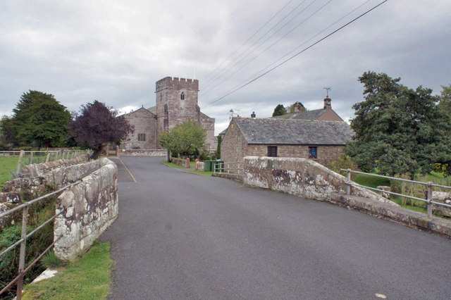
Penruddock
- Overview About Penruddock Map Street View PENRUDDOCK, a hamlet, in the parish of Greystock, union of Penrith, Leath ward, E. division of Cumberland, 6¼ miles (W. by S.) from Penrith. …

Co-Curate Page
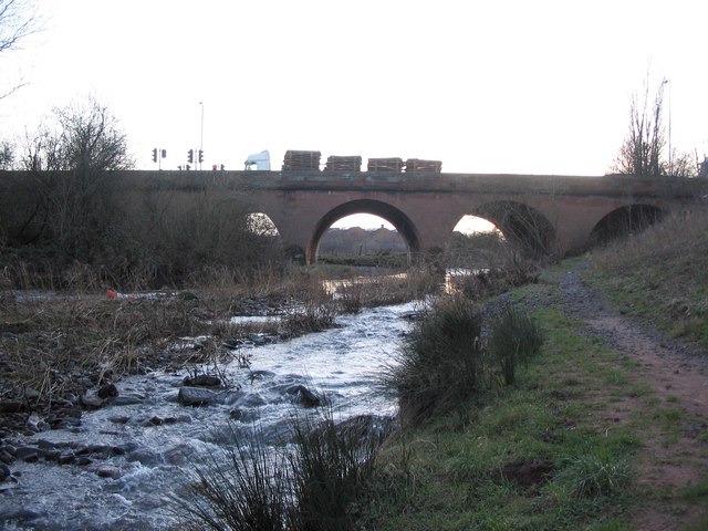
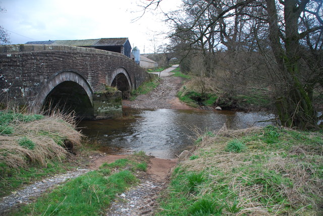
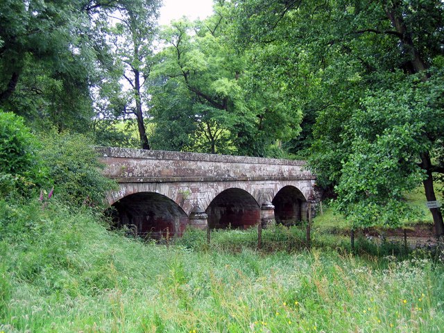
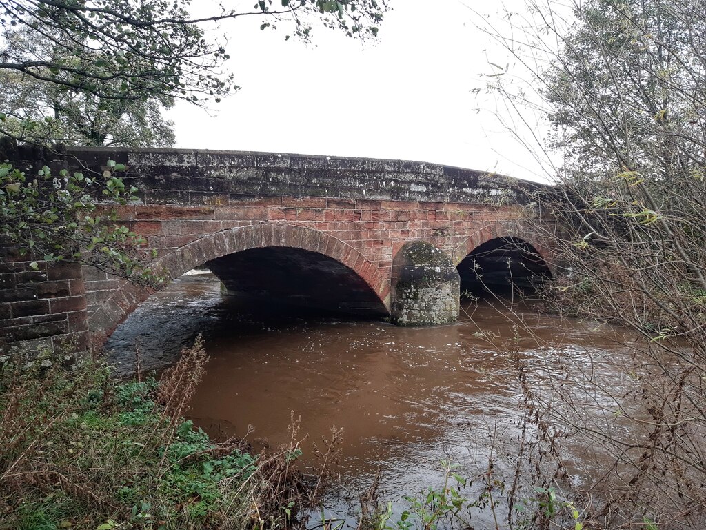
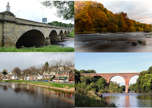
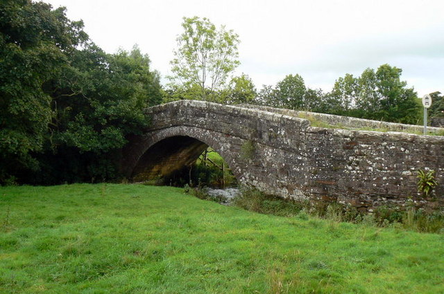
Wreay Bridge
- Wreay Bridge - a red sandstone road bridge over the River Petteril, to the south-east of Wreay in Cumbria. The 3 arched bridge was built in the 1830's.[1] The bridge …
Co-Curate Page
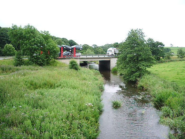
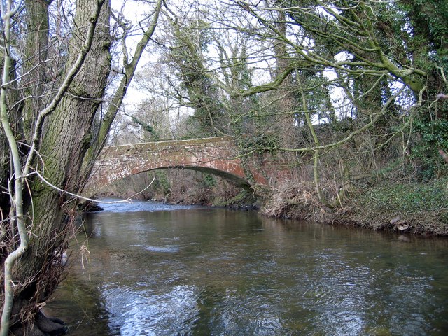
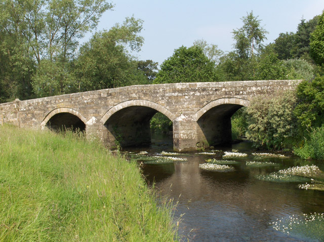
Crook's Bridge, near Wreay
- Overview Map Street View Crook's Bridge is a 3 arched bridge over the River Petteril, located just over half a mile slouth-east of Wreay in Cumbria. The bridge was built …
Co-Curate Page
Harraby Bridge
- Overview Map Street View The road bridge over the River Petteril between Harraby and the centre of Carlisle was opened in May 1830. It forms part of London Road, one …
Co-Curate Page
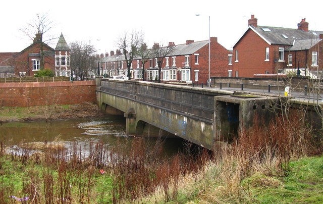
Botcherby Bridge
- Overview Map Street View Botcherby Bridge carries Warwick Road (A69) over the River Petteril. The current bridge has a plaque commemorating it's opening in June 1932. There have been earlier …
Co-Curate Page
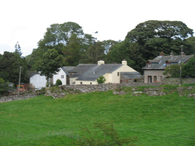
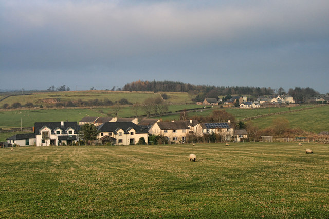
Motherby
- Overview Map Street View Motherby is a village in the Eden district of Cumbria, located about 5 miles west of Penrith and 1½ miles south-west of the village of Greystoke. Motherby …
Co-Curate Page
Duke of Norfolk Bridge, Greystoke
- The Duke of Norfolk Bridge over the River North Petteril at Greystoke was originally built in 1796. The bridge was widened in 1920 in remberance of those who died in the First …
Co-Curate Page
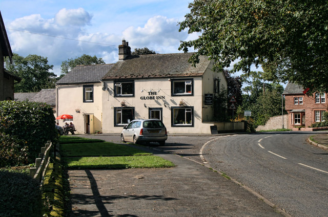
Calthwaite
- Overview About Calthwaite Map Street View CALTHWAITE, a township, in the parish of Hesket-in-the-Forest, union of Penrith, Leath ward, E. division of Cumberland, 7 miles (N. N.W.) from Penrith; containing …
Co-Curate Page
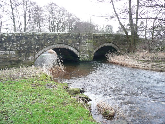
Upperby Bridge
- Overview Map Street View The bridge connects the Upperby and Harraby areas of Carlisle, carrying Petteril Bank Road over the River Petteril. A pedestrian bridge over the Petteril stands a …

Co-Curate Page
Carlisle
- Overview About Carlisle Map Street View Timeline Historic Buildings Castle City Walls Carlisle Cathedral Cathedral Precinct Streets of Carlisle Market Place Tullie Museum Market Hall Bitts Park Carlisle is a …
Co-Curate Page
Penruddock
- Overview About Penruddock Map Street View PENRUDDOCK, a hamlet, in the parish of Greystock, union of Penrith, Leath ward, E. division of Cumberland, 6¼ miles (W. by S.) from Penrith. …
Co-Curate Page
Wreay Bridge
- Wreay Bridge - a red sandstone road bridge over the River Petteril, to the south-east of Wreay in Cumbria. The 3 arched bridge was built in the 1830's.[1] The bridge …
Co-Curate Page
Crook's Bridge, near Wreay
- Overview Map Street View Crook's Bridge is a 3 arched bridge over the River Petteril, located just over half a mile slouth-east of Wreay in Cumbria. The bridge was built …
Co-Curate Page
Harraby Bridge
- Overview Map Street View The road bridge over the River Petteril between Harraby and the centre of Carlisle was opened in May 1830. It forms part of London Road, one …
Co-Curate Page
Botcherby Bridge
- Overview Map Street View Botcherby Bridge carries Warwick Road (A69) over the River Petteril. The current bridge has a plaque commemorating it's opening in June 1932. There have been earlier …
Co-Curate Page
Motherby
- Overview Map Street View Motherby is a village in the Eden district of Cumbria, located about 5 miles west of Penrith and 1½ miles south-west of the village of Greystoke. Motherby …
Co-Curate Page
Duke of Norfolk Bridge, Greystoke
- The Duke of Norfolk Bridge over the River North Petteril at Greystoke was originally built in 1796. The bridge was widened in 1920 in remberance of those who died in the First …
Co-Curate Page
Calthwaite
- Overview About Calthwaite Map Street View CALTHWAITE, a township, in the parish of Hesket-in-the-Forest, union of Penrith, Leath ward, E. division of Cumberland, 7 miles (N. N.W.) from Penrith; containing …


")


