Topics > Carlisle > Botcherby > Botcherby Bridge

Botcherby Bridge


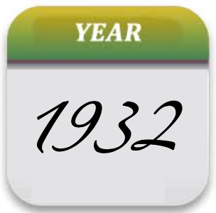
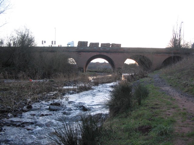
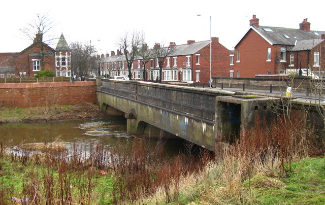
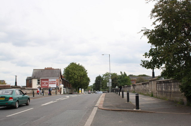
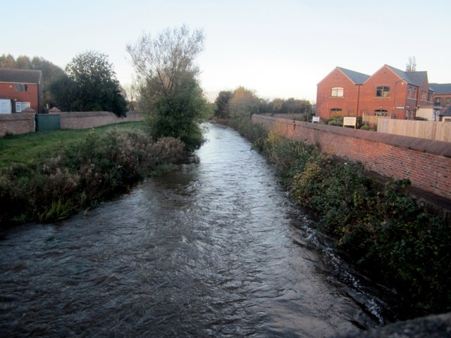
Botcherby Bridge carries Warwick Road (A69) over the River Petteril. The current bridge has a plaque commemorating it's opening in June 1932. There have been earlier bridges here; Botcherby Bridge is marked on G.Smith’s 1746 map of Carlisle and a later bridge of 1817 needed rebuilding after flood damage in 1822.[1]

Botcherby 1932 River Petteril Bridges
from Geograph (geograph)
Botcherby Bridge, Carlisle

Pinned by Simon Cotterill
from Geograph (geograph)
Botcherby Bridge

Pinned by Simon Cotterill
from Geograph (geograph)
Botcherby Bridge, Carlisle

Pinned by Simon Cotterill
from Geograph (geograph)
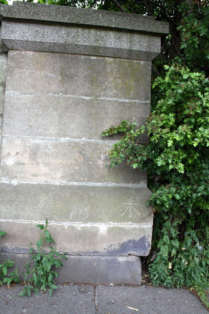
Benchmark on west end of south parapet of Botcherby Bridge

Pinned by Simon Cotterill
from Geograph (geograph)
River Petteril, Carlisle

Pinned by Simon Cotterill

Comments

Add a comment or share a memory.

Login to add a comment. Sign-up if you don't already have an account.


ABOUT US

Co-Curate is a project which brings together online collections, museums, universities, schools and community groups to make and re-make stories and images from North East England and Cumbria. Co-Curate is a trans-disciplinary project that will open up 'official' museum and 'un-officia'l co-created community-based collections and archives through innovative collaborative approaches using social media and open archives/data.

LATEST SHARED RESOURCES