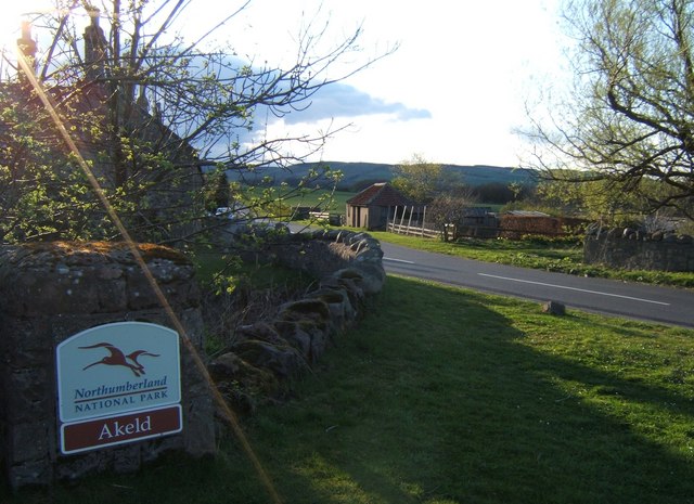
Topics > Northumberland > Akeld

Akeld


Akeld is a village in Northumberland. It is located by Akeld Burn near its confluence with the River Glen. During the middle ages the area was frequently raided by Boader Reivers. Nearby is the site of the Battle of Homildon Hill fought between the English and Scots in 1402. In Akeld the Bastle House (fortified farmhouse) was built to protect against the threat of attack. Akled also has a former Manor House. In the late 19th century Akeld Station was built on the Alnwick to Cornhill Railway. Akeld also has a World War 2 pillbox. Historically, Akeld was a township in the ancient parish of Kirknewton. Today, the village and surrounding area are part of Akeld Civil Parish.

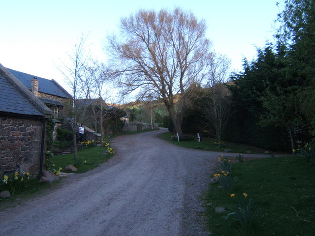
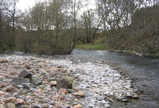
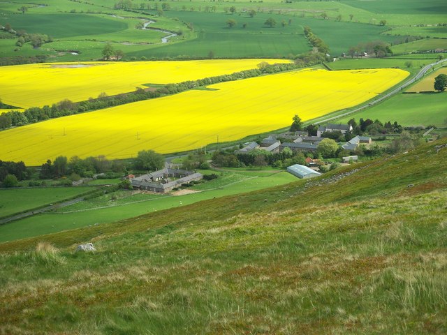
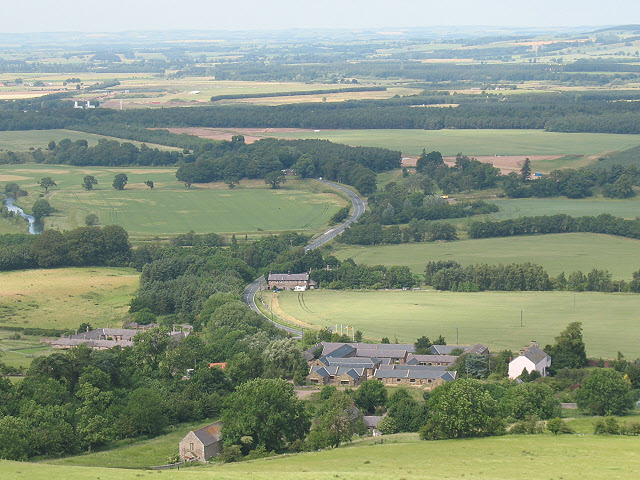
Akeld is a village and civil parish in Northumberland, England. It is situated to the west of Wooler, and has a population of 82, increasing at the 2011 Census to 221. Its name is Anglo-Saxon Old English ac-helde, 'oak slope'.

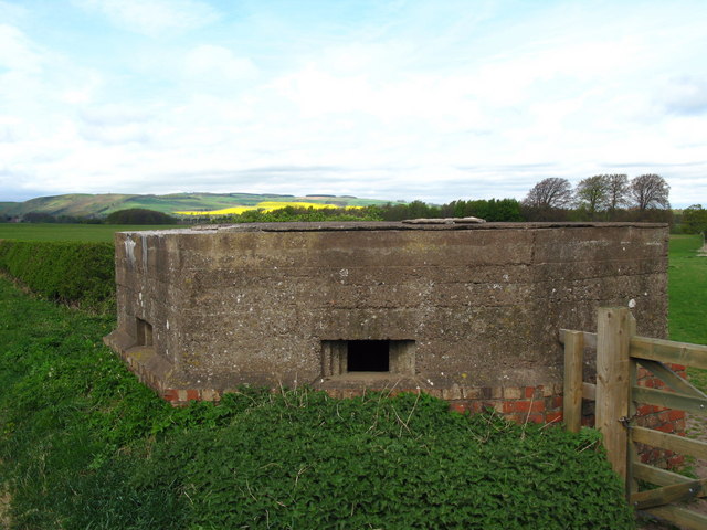
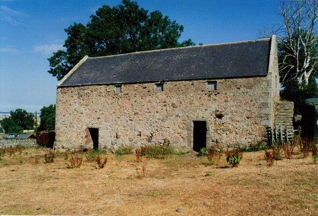
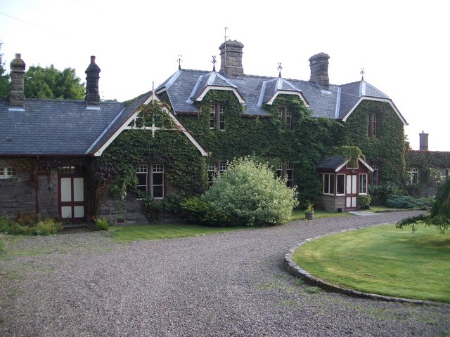
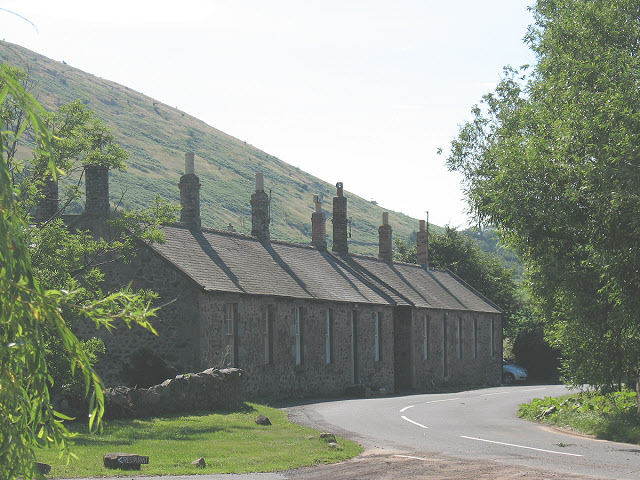
Akeld is dominated by the buildings of Akeld Manor and Country Club. To the south is Akeld Bastle, a sixteenth-century bastle house. Only the ground floor remains of the original building, the rest having been rebuilt in the eighteenth century.

History

From 1887 to 1930 the village was served by Akeld railway station.

Governance

Akeld is in the parliamentary constituency of Berwick-upon-Tweed.

Text from Wikipedia, available under the Creative Commons Attribution-ShareAlike License (accessed: 29/09/2017).
Visit the page: Akeld for references and further details. You can contribute to this article on Wikipedia.

Northumberland Humbleton River Glen Bendor Akeld Civil Parish Pill box, Akeld Akeld Bastle House Akeld Manor Akeld Township, 1848 Battle of Homildon Hill, 1402 Former Akeld Station
from Geograph (geograph)
The Former Railway Station at Akeld

Pinned by Simon Cotterill
from Geograph (geograph)
Farm cottages, Akeld

Pinned by Simon Cotterill
from Geograph (geograph)
The Northumbrian village of Akeld

Pinned by Simon Cotterill
from Geograph (geograph)
View over Akeld from the south

Pinned by Simon Cotterill
from Geograph (geograph)
National Park Sign, Akeld

Pinned by Simon Cotterill
from Geograph (geograph)
Akeld Hill

Pinned by Simon Cotterill
Humbleton
  Co-Curate Page
Humbleton
- Overview Map Street View Humbleton is a small hamlet below Humbleton hill, located between Akeld and Wooler in Northumberland.

Comments

Add a comment or share a memory.

Login to add a comment. Sign-up if you don't already have an account.


ABOUT US

Co-Curate is a project which brings together online collections, museums, universities, schools and community groups to make and re-make stories and images from North East England and Cumbria. Co-Curate is a trans-disciplinary project that will open up 'official' museum and 'un-officia'l co-created community-based collections and archives through innovative collaborative approaches using social media and open archives/data.

LATEST SHARED RESOURCES