Topics > Geography > Rivers > River Till > River Glen > College Burn
College Burn
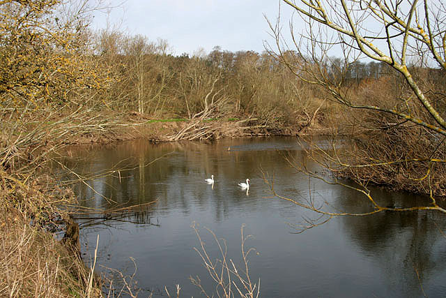
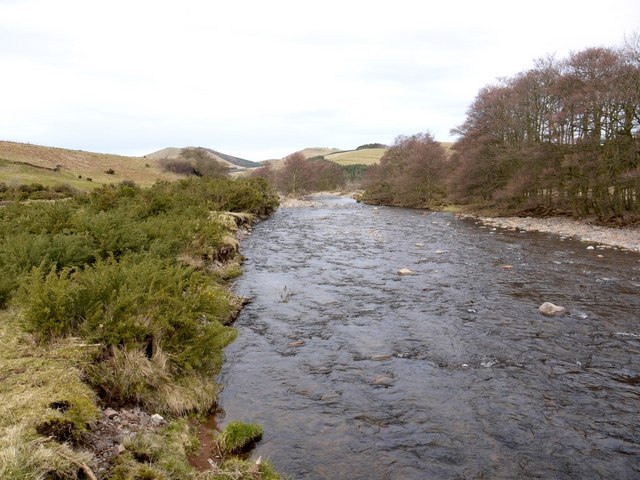
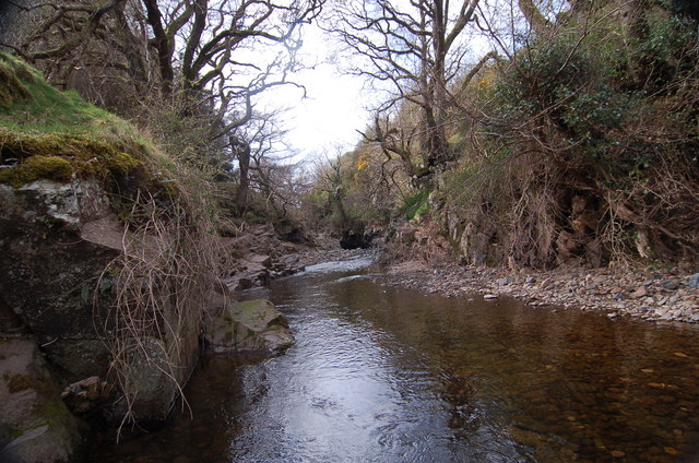
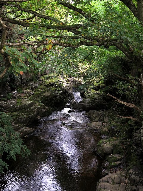
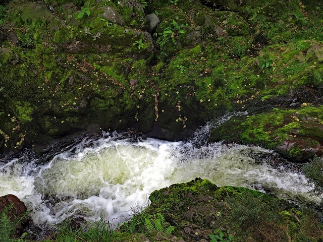
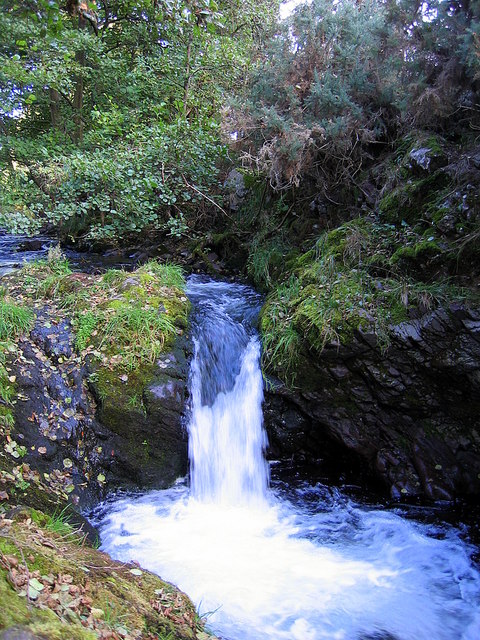
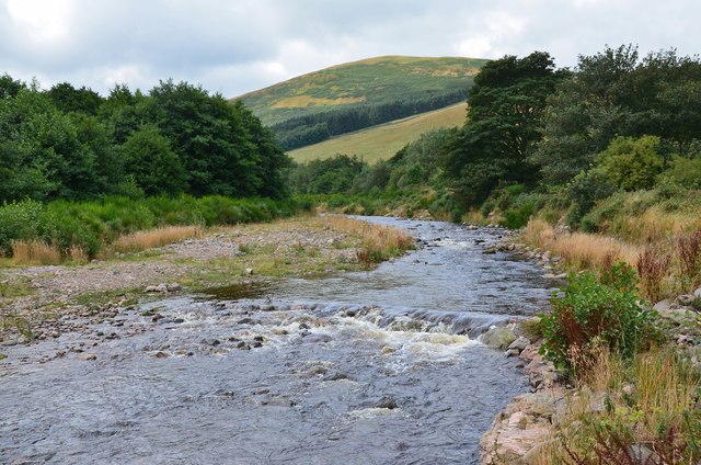
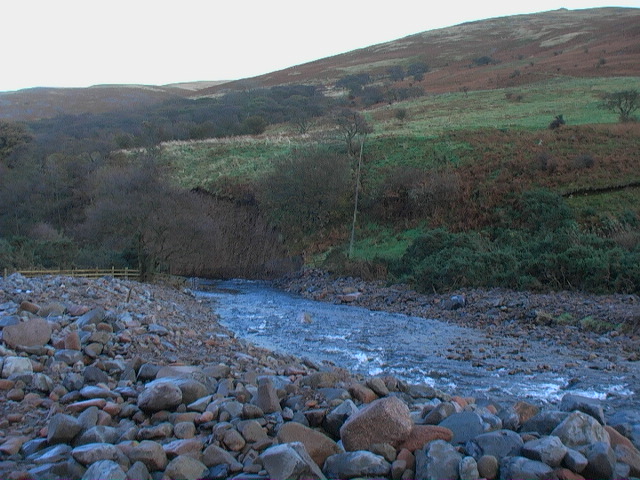
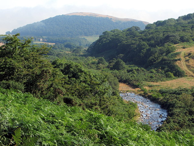
College Burn is river in Northumberland which is a tributary of the River Glen. College Burn arises on the slopes of The Cheviot (hill) and flows aproximately 17km in a roughly northerly direction before it's conflence with Bowmont Water to form the River Glen, near Westnewton. Hethpool Linn (waterfall) is a notable feature of the burn.
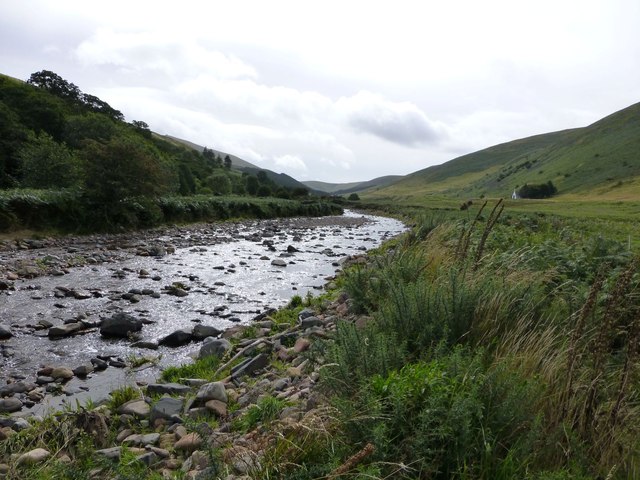
from Geograph (geograph)
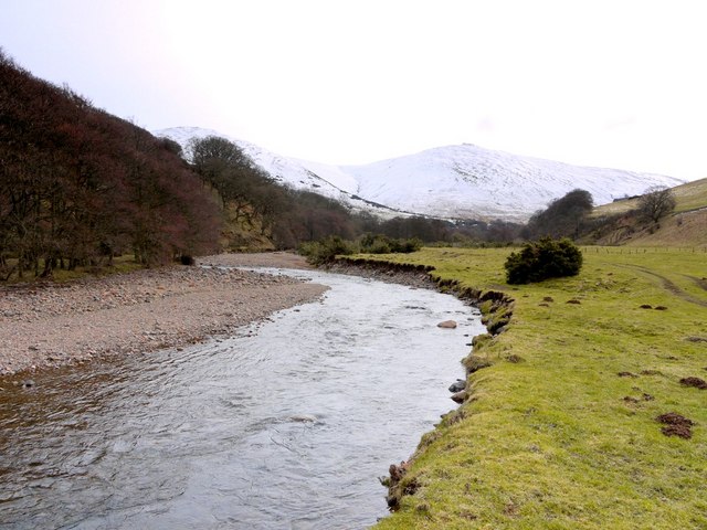
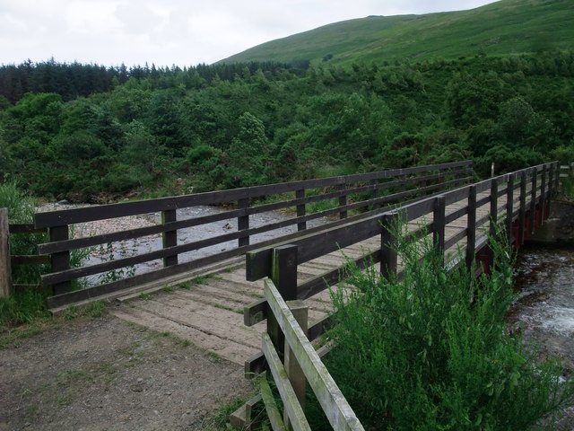
College Burn east of footbridge near Hethpool Linn
Pinned by Simon Cotterill


from https://environment.data.gov.…
College Burn from Source to Lambden Burn
Added by
Simon Cotterill
Co-Curate Page
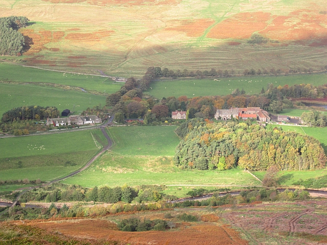
Hethpool
- Overview Map Street View HEATHPOOL, a township, in the parish of KirkNewton, union, and W. division of the ward, of Glendale, N. division of Northumberland; containing 51 inhabitants, and comprising …
Co-Curate Page
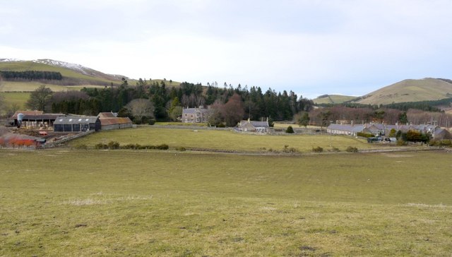
Westnewton, Northumberland
- Overview Map Street View NEWTON, WEST, a township, in the parish of Kirk-Newton, union of Glendale, W. division of Glendale ward, N. division of Northumberland, 5¾ miles (W. by N.) …
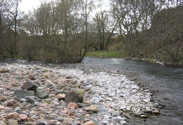

from Geograph (geograph)
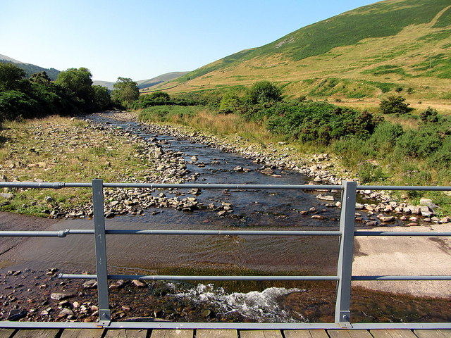
College Burn east of footbridge near Hethpool Linn
Pinned by Simon Cotterill
from https://environment.data.gov.…
College Burn from Source to Lambden Burn
Added by
Simon Cotterill
Co-Curate Page
Hethpool
- Overview Map Street View HEATHPOOL, a township, in the parish of KirkNewton, union, and W. division of the ward, of Glendale, N. division of Northumberland; containing 51 inhabitants, and comprising …
Co-Curate Page
Westnewton, Northumberland
- Overview Map Street View NEWTON, WEST, a township, in the parish of Kirk-Newton, union of Glendale, W. division of Glendale ward, N. division of Northumberland, 5¾ miles (W. by N.) …