Topics > Geography > Rivers > River Wear > Killhope Burn
Killhope Burn
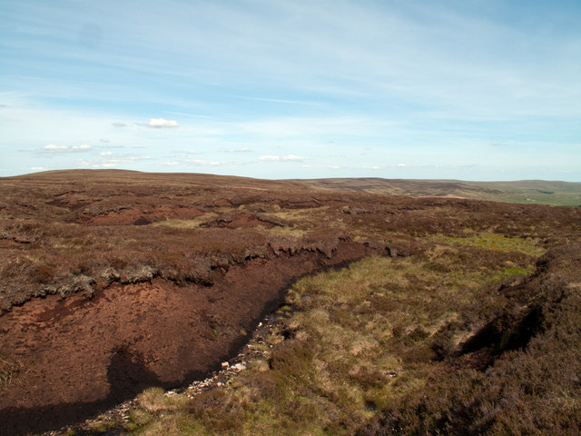
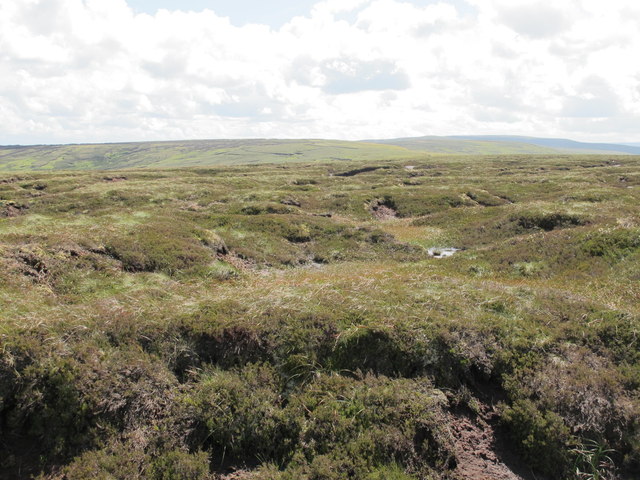
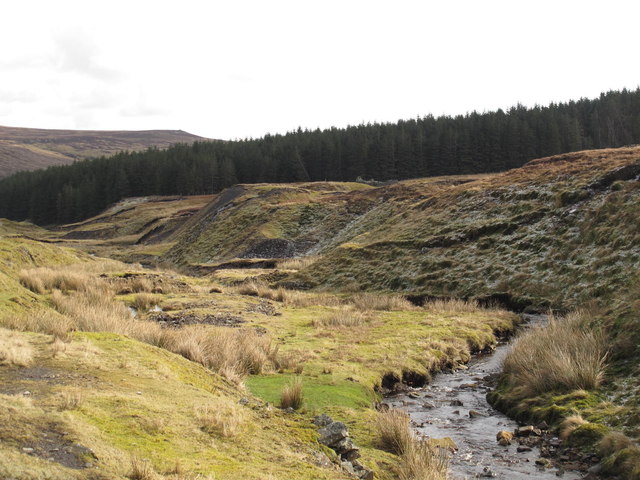
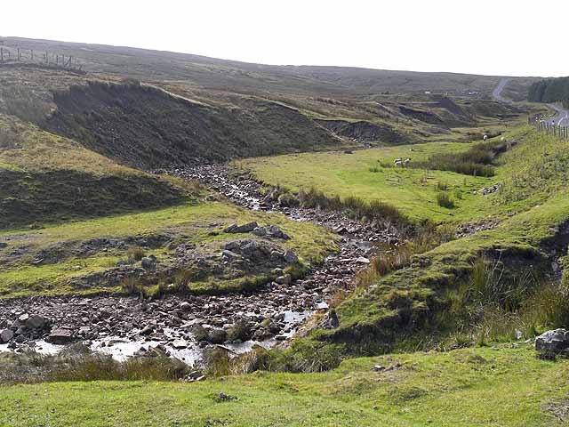
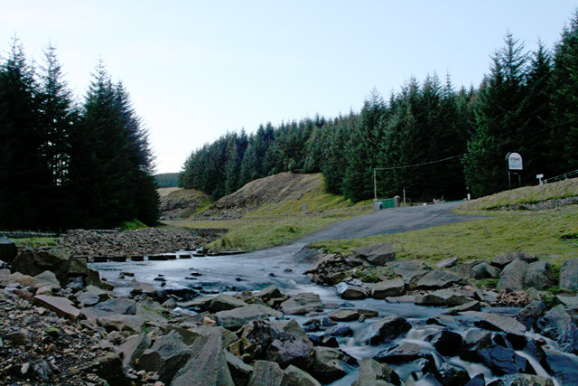
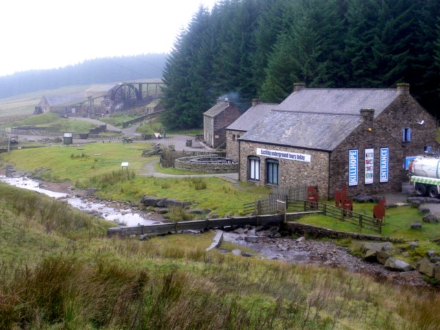
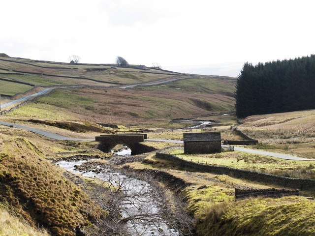
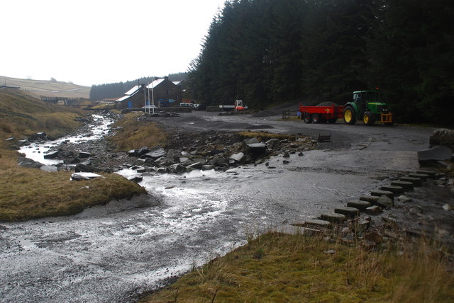
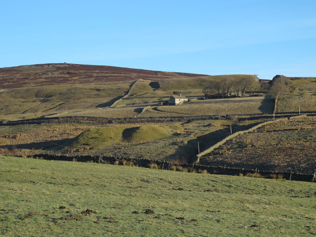
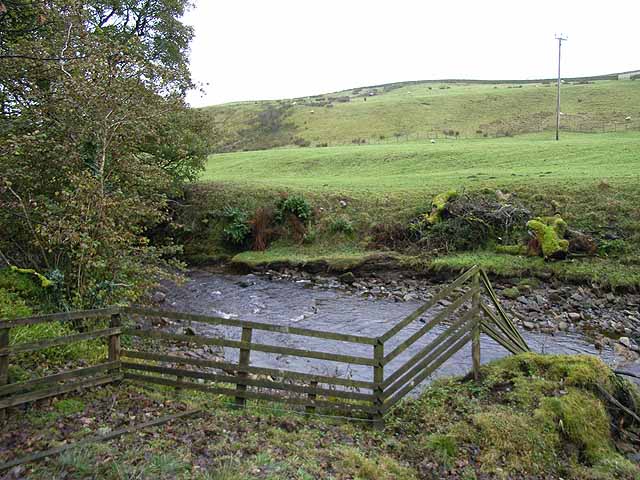
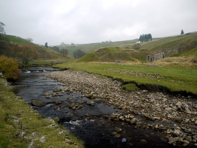
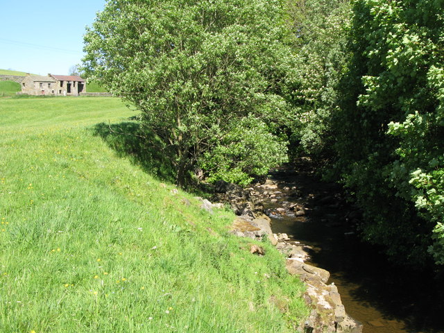
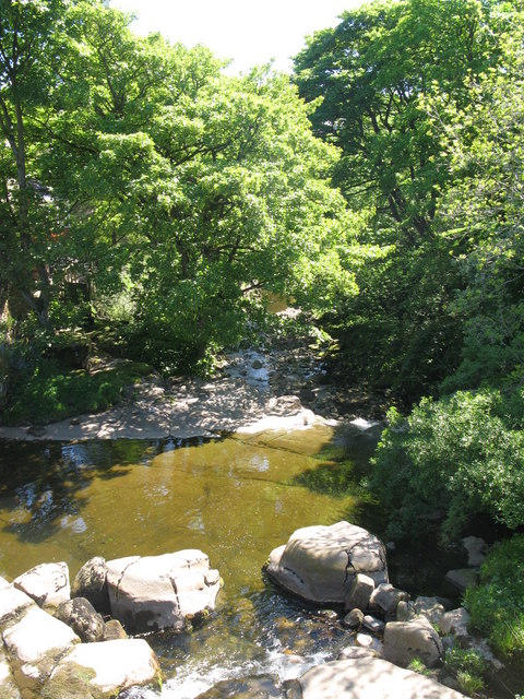
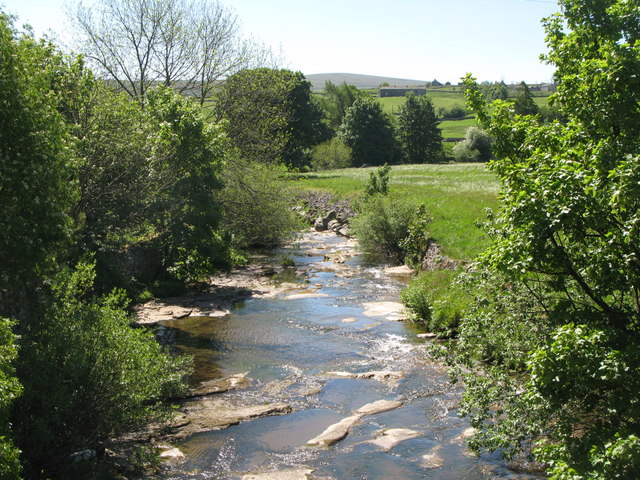
Killhope Burn is a stream in County Durham, which is a tributary of the River Wear. The burn is 13 km long, with a catchment area of 28 km2.[1] The burn is formed from a number of small streams draining off Slate Hill, Killhope Moor, Knoutberry Hill, near the county borders with Cumbria, Northumberland and County Durham. The Burn flows roughly south-eastwards past Killhope Lead Mine (now a museum), and the settlements of Lanehead, Cornriggs, Copthill, Cowshill and on to Wearhead. The River Wear forms at the confluence of Killhope Burn and Burnhope Burn at Wearhead.
from Geograph (geograph)
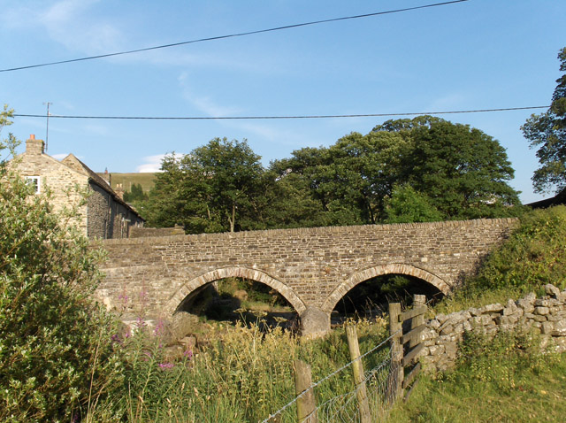
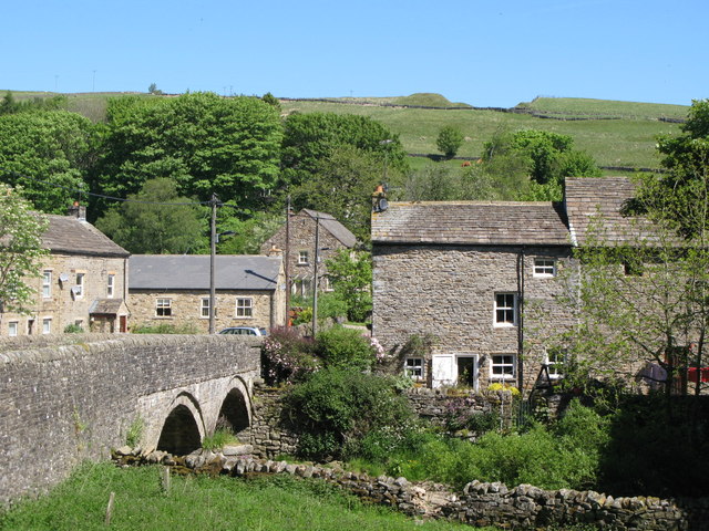
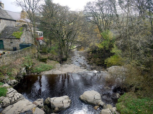
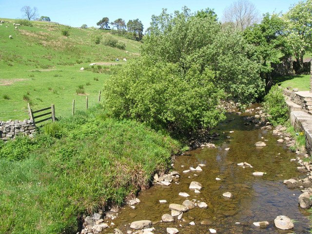
Cottages in Cowshill near the bridge over Killhope Burn
Pinned by Simon Cotterill
from Geograph (geograph)
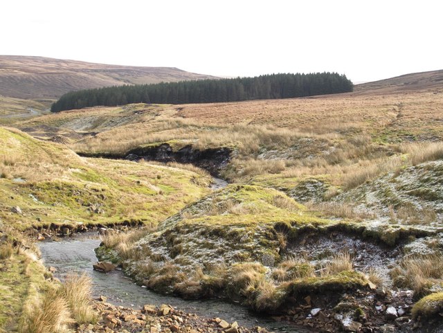
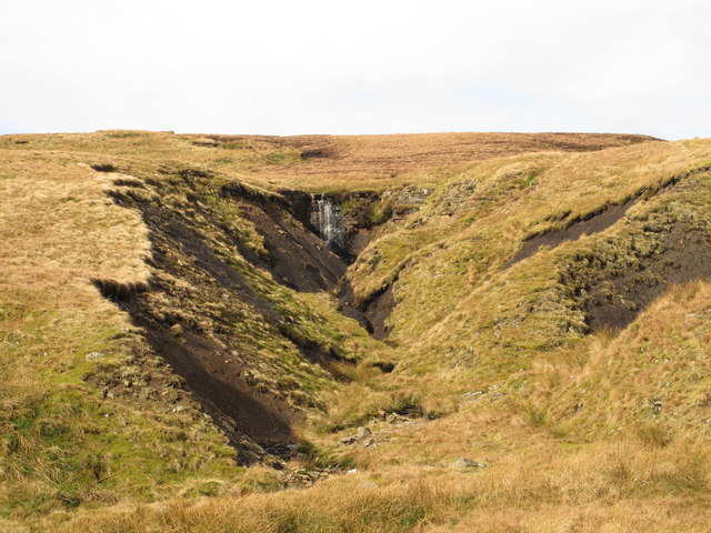
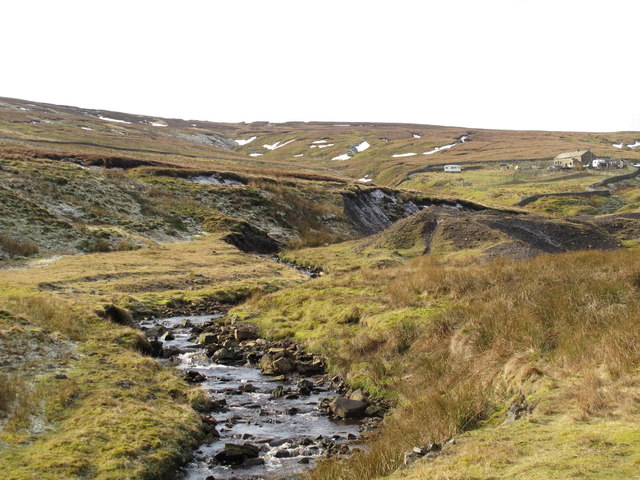
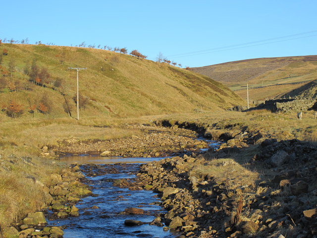
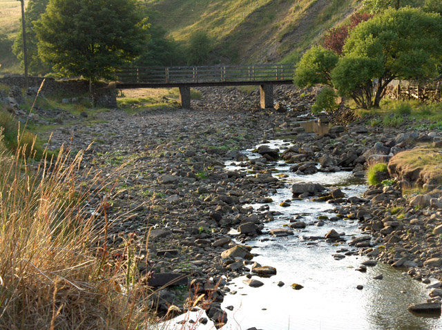
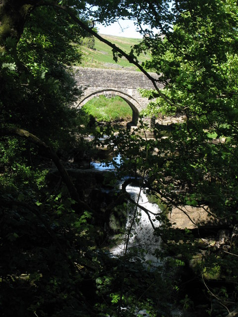
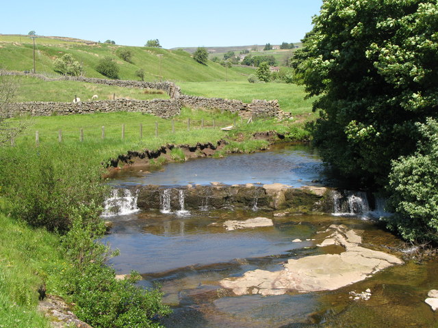
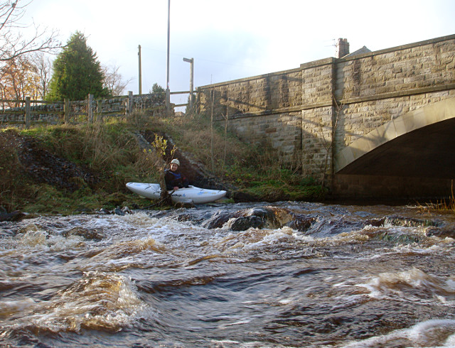
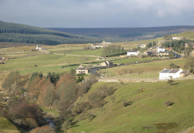
Small waterfalls on Killhope Burn above Wearhead (2)
Pinned by Simon Cotterill
Co-Curate Page
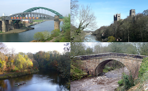
River Wear
- Overview Geology Course Tributaries Industrial History The Wear is a major river in County Durham. It rises in the East Penines at Wearhead at the confluence of Burnhope Burn and …
Co-Curate Page
Lanehead
- Overview About Lanehead Map Street View Lanehead is a village in County Durham, located by Killhope Burn, near the top of Weardale, and close to the county border with Cumbria. …
Co-Curate Page
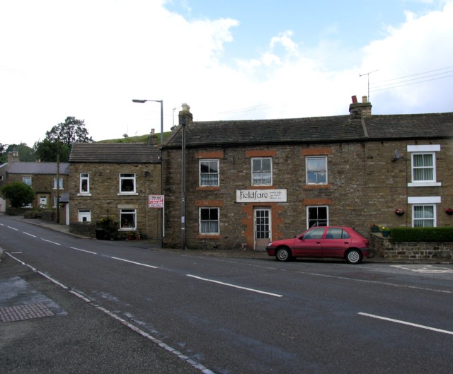
Cowshill
- Overview Map Street View Cowshill is a village in Upper Weardale in County Durham, situated by Killhope Burn and within the North Pennines Area of Outstanding Natural Beauty. Cowshill is located …
Co-Curate Page
Wearhead
- Overview About Wearhead Map Wearhead is a picturesque village in County Durham, located at the start of Weardale where the River Wear is begins at the confluence of Burnhope Burn …
Co-Curate Page
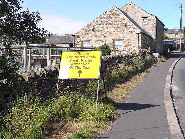
Cornriggs
- Overview Map Street View Cornriggs is a small village in Upper Weardale in County Durham, located between Lanehead and the larger settlement of Cowshill. Cornriggs is located by Killhope Burn and …


from Geograph (geograph)
Cottages in Cowshill near the bridge over Killhope Burn
Pinned by Simon Cotterill
from Geograph (geograph)
Small waterfalls on Killhope Burn above Wearhead (2)
Pinned by Simon Cotterill
Co-Curate Page
River Wear
- Overview Geology Course Tributaries Industrial History The Wear is a major river in County Durham. It rises in the East Penines at Wearhead at the confluence of Burnhope Burn and …
Co-Curate Page
Lanehead
- Overview About Lanehead Map Street View Lanehead is a village in County Durham, located by Killhope Burn, near the top of Weardale, and close to the county border with Cumbria. …
Co-Curate Page
Cowshill
- Overview Map Street View Cowshill is a village in Upper Weardale in County Durham, situated by Killhope Burn and within the North Pennines Area of Outstanding Natural Beauty. Cowshill is located …
Co-Curate Page
Wearhead
- Overview About Wearhead Map Wearhead is a picturesque village in County Durham, located at the start of Weardale where the River Wear is begins at the confluence of Burnhope Burn …