Topics > County Durham > Cornriggs
Cornriggs
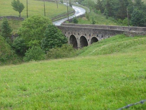
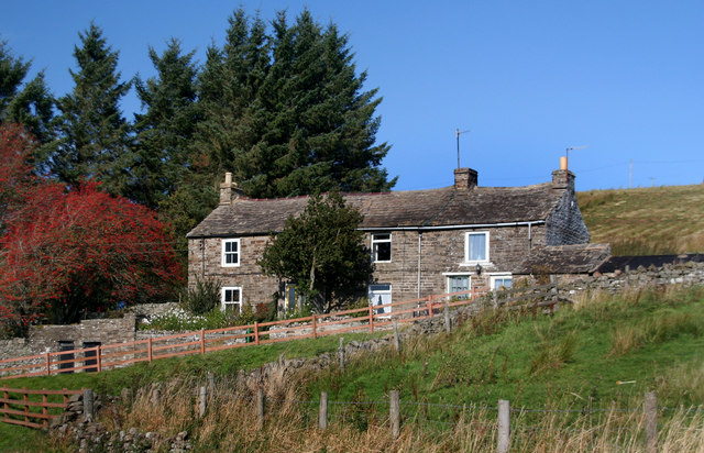
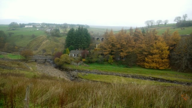
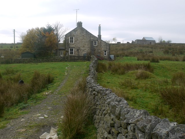
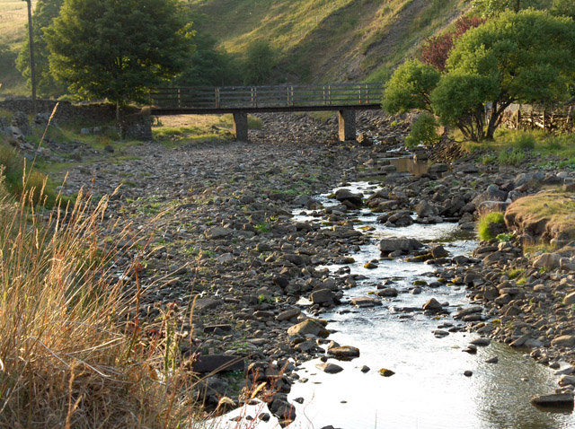
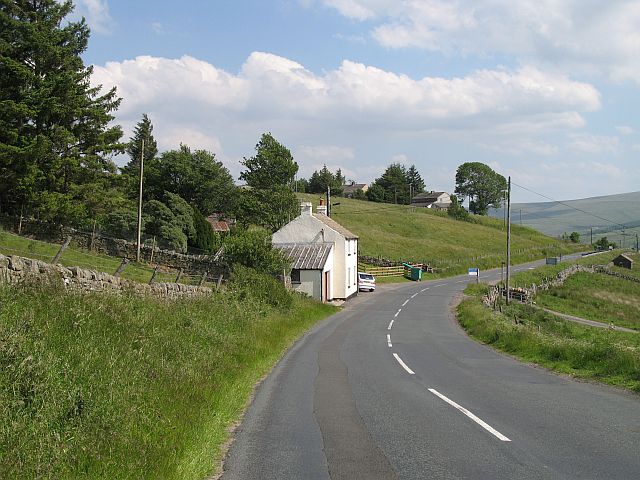
Cornriggs is a small village in Upper Weardale in County Durham, located between Lanehead and the larger settlement of Cowshill. Cornriggs is located by Killhope Burn and the A689 road, which crosses Heatherycleugh Bridge, built in c.1810. The village consists of Low Cornriggs Farm and a few other scattered buildings.
Co-Curate Page
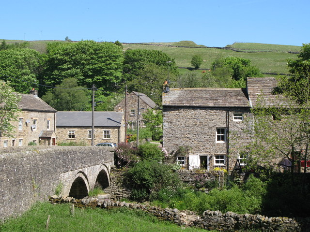
Lanehead
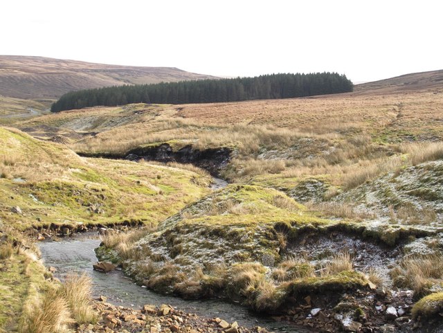
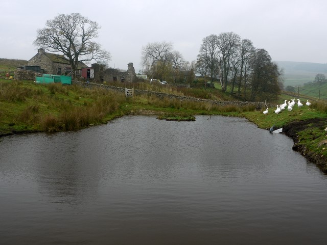
- Overview About Lanehead Map Street View Lanehead is a village in County Durham, located by Killhope Burn, near the top of Weardale, and close to the county border with Cumbria. …
Co-Curate Page
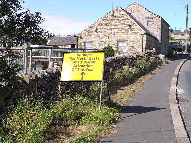
Cowshill
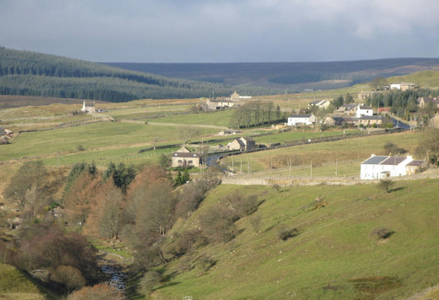
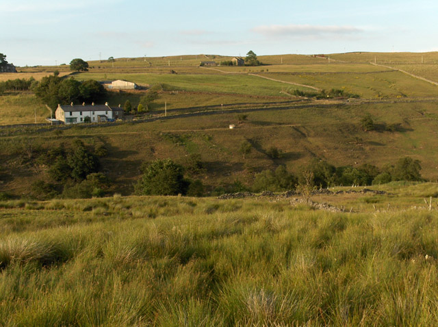
- Overview Map Street View Cowshill is a village in Upper Weardale in County Durham, situated by Killhope Burn and within the North Pennines Area of Outstanding Natural Beauty. Cowshill is located …

Co-Curate Page
Lanehead
- Overview About Lanehead Map Street View Lanehead is a village in County Durham, located by Killhope Burn, near the top of Weardale, and close to the county border with Cumbria. …
Co-Curate Page
Cowshill
- Overview Map Street View Cowshill is a village in Upper Weardale in County Durham, situated by Killhope Burn and within the North Pennines Area of Outstanding Natural Beauty. Cowshill is located …