Topics > County Durham > Cowshill > Burtreeford Bridge over Killhope Burn
Co-Curate Page
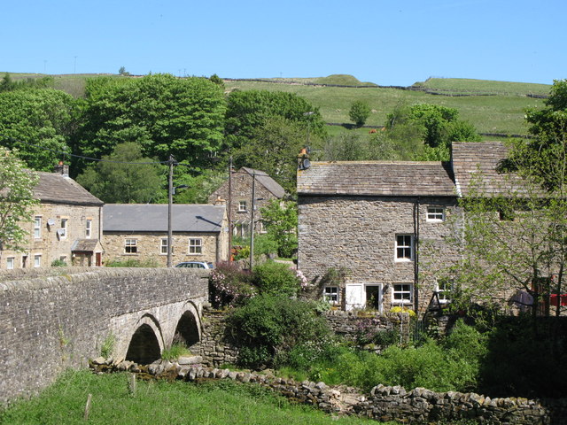
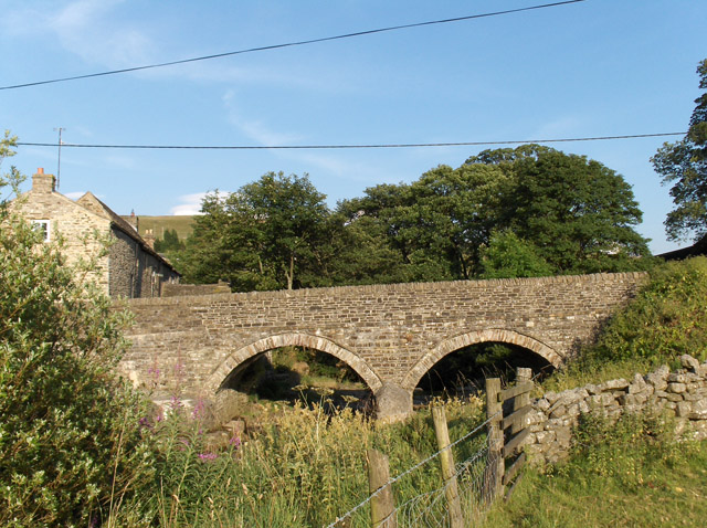
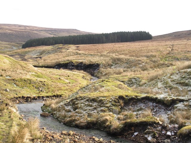
Killhope Burn
- Killhope Burn is a stream in County Durham, which is a tributary of the River Wear. The burn is 13 km long, with a catchment area of 28 km2.[1] The …

Co-Curate Page
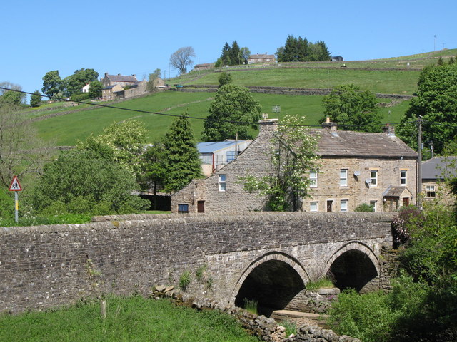
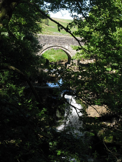
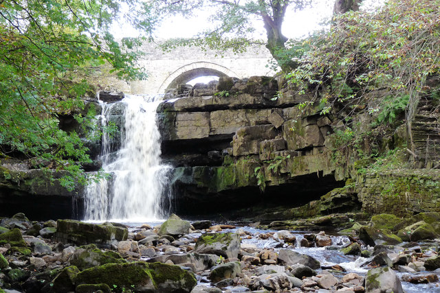
Killhope Burn
- Killhope Burn is a stream in County Durham, which is a tributary of the River Wear. The burn is 13 km long, with a catchment area of 28 km2.[1] The …