Topics > County Durham > Low Allers
Low Allers
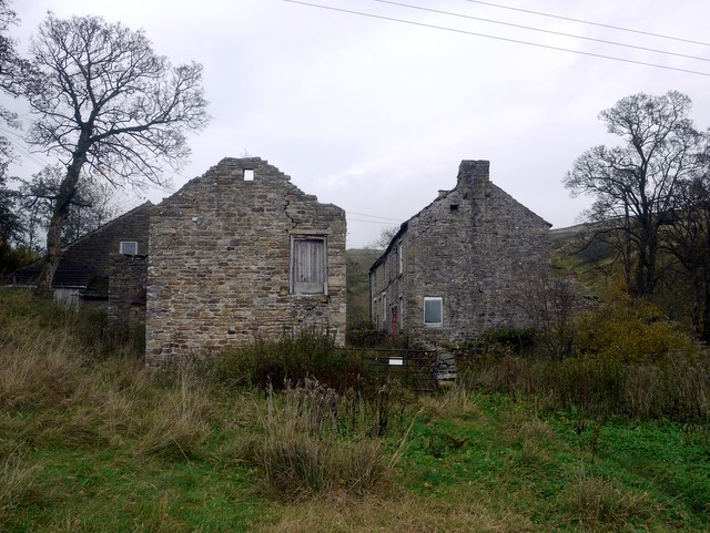
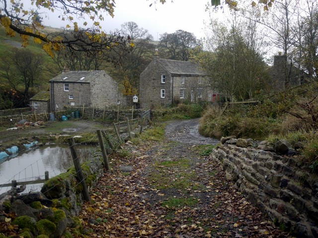
Low Allers is a hamlet by Killhope Burn, near Cowshill in Upper Weardale.
Co-Curate Page
Cowshill
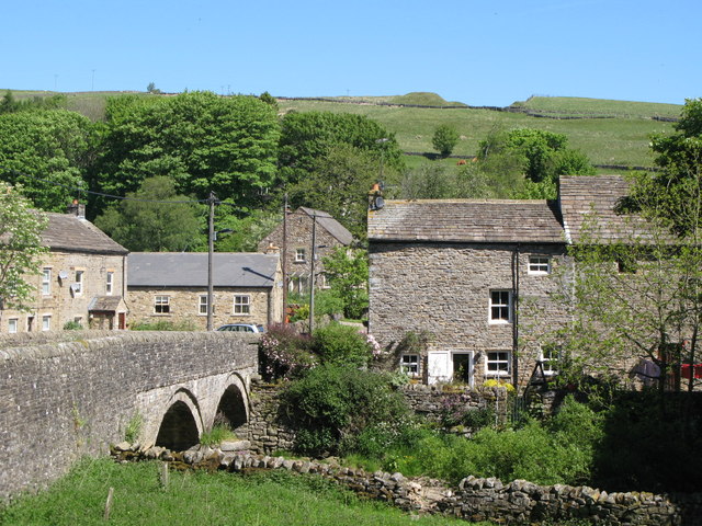
- Overview Map Street View Cowshill is a village in Upper Weardale in County Durham, situated by Killhope Burn and within the North Pennines Area of Outstanding Natural Beauty. Cowshill is located …
Co-Curate Page
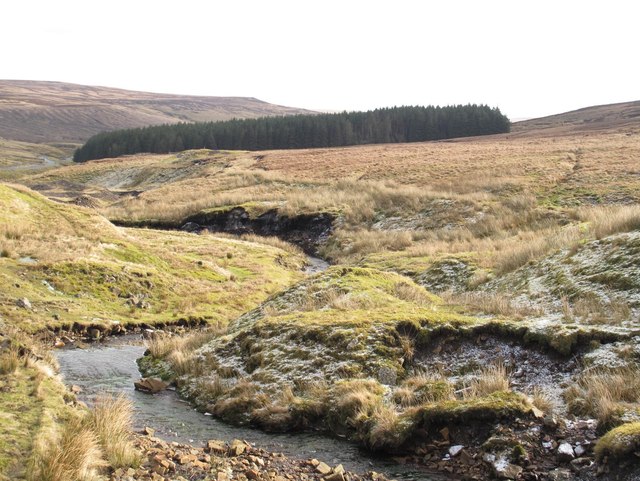
Killhope Burn
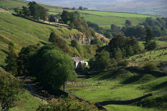
- Killhope Burn is a stream in County Durham, which is a tributary of the River Wear. The burn is 13 km long, with a catchment area of 28 km2.[1] The …

Co-Curate Page
Cowshill
- Overview Map Street View Cowshill is a village in Upper Weardale in County Durham, situated by Killhope Burn and within the North Pennines Area of Outstanding Natural Beauty. Cowshill is located …


