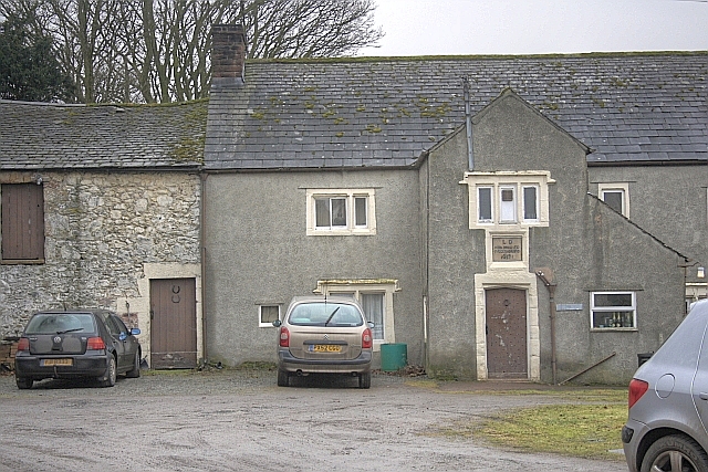
Topics > Civil Parishes in Cumbria > Barton and Pooley Bridge Civil Parish > Barton Parish, Westmorland, 1848
Barton Parish, Westmorland, 1848
BARTON (St. Michael), a parish, in West ward and union, county of Westmorland, 4 miles (S.W. by S.) from Penrith; comprising the chapelries of Martindale and Patterdale-with-Hartsop, and the townships of High Barton, Sockbridge-with-Tirrel, Low Winder, and Yanwith-with-Eamont-Bridge; and containing 1668 inhabitants, of whom 323 are in High Barton. The parish comprises by measurement 15,000 acres, of which 4355 are in High Barton; and among its many villages is Pooley, a distinguished place of resort, distant from Penrith five miles. The soil partakes of both clay and gravel, and produces excellent corn and hay; the land lies upon a slope, and is encompassed with lofty mountains, among which, at its western extremity, is Helvellyn, and at its eastern King Arthur's Round Table. In the parish is part of the lake of Ullswater, from which flows the river Eamont, separating Westmorland from Cumberland. Barton Fell contains a great variety of valuable minerals, including jasper, agate, onyx, cornelian, chalcedony, etc., besides spars and petrifactions of fish, shells, leaves, &c. At Hartsop and Patterdale are extensive quarries of fine blue slate, and at the latter place is a lead-mine. The living is a vicarage, valued in the king's books at £11.1.0½.; net income, £130; patron, the Earl of Lonsdale; impropriators, the Earl of Lonsdale, and E. W. Hasell, T. Gibson, and J. De Whelpdale, Esqrs. The impropriate tithes of High Barton have been commuted for £76. 13., and the vicarial for £49. 11.; the glebe consists of 75¼ acres. The church is a large low structure, beautifully situated in the vale of Eamont. Martindale and Patterdale have each a separate incumbency. A free grammar school was founded in 1649, by Dr. Launcelot Dawes and Dr. Gerard Langbaine, natives of the parish, and the latter an industrious antiquary; whose endowment of it has been augmented by subsequent benefactors to about £90 per annum.
Extract from: A Topographical Dictionary of England comprising the several counties, cities, boroughs, corporate and market towns, parishes, and townships..... 7th Edition, by Samuel Lewis, London, 1848.

from https://openlibrary.org/books…
A topographical dictionary of England, Samuel Lewis, 7th Ed., 1848
- A topographical dictionary of England
comprising the several counties, cities, boroughs, corporate and market towns, parishes, and townships, and the islands of Guernsey, Jersey, and Man, with historical and statistical …
Added by
Simon Cotterill

Co-Curate Page
Barton
- Overview About Barton Map Street View Barton is a hamlet in Cumbria located just over a mile north-east of Ullswater and 2 miles south-west of Penrith. It is part of the …

Co-Curate Page
Martindale, 1848
- MARTINDALE, a chapelry, in the parish of Barton, West ward and union, county of Westmorland, 8 miles (S.S.W.) from Penrith; containing 198 inhabitants. The chapelry comprises by measurement 3,542 acres …

Co-Curate Page
Low Winder
- Extract from: A Topographical Dictionary of England comprising the several counties, cities, boroughs, corporate and market towns, parishes, and townships..... 7th Edition, by Samuel Lewis, London, 1848. A former township …

Co-Curate Page
Yanwath and Eamont Bridge Civil Parish
- Area: 5.3 km² Population: 491 (2021 Census) 535 (2011 Census) 457 (2001 Census) Extract from: A Topographical Dictionary of England comprising the several counties, cities, boroughs, corporate and market towns, …


from https://openlibrary.org/books…
A topographical dictionary of England, Samuel Lewis, 7th Ed., 1848
- A topographical dictionary of England
comprising the several counties, cities, boroughs, corporate and market towns, parishes, and townships, and the islands of Guernsey, Jersey, and Man, with historical and statistical …
Added by
Simon Cotterill

Co-Curate Page
Barton
- Overview About Barton Map Street View Barton is a hamlet in Cumbria located just over a mile north-east of Ullswater and 2 miles south-west of Penrith. It is part of the …

Co-Curate Page
Martindale, 1848
- MARTINDALE, a chapelry, in the parish of Barton, West ward and union, county of Westmorland, 8 miles (S.S.W.) from Penrith; containing 198 inhabitants. The chapelry comprises by measurement 3,542 acres …

Co-Curate Page
Low Winder
- Extract from: A Topographical Dictionary of England comprising the several counties, cities, boroughs, corporate and market towns, parishes, and townships..... 7th Edition, by Samuel Lewis, London, 1848. A former township …


