Topics > Northumberland > Civil Parishes in Northumberland > Healey Civil Parish
Healey Civil Parish
 |
 |
 |
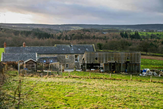
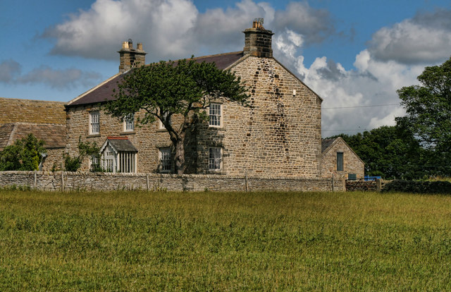
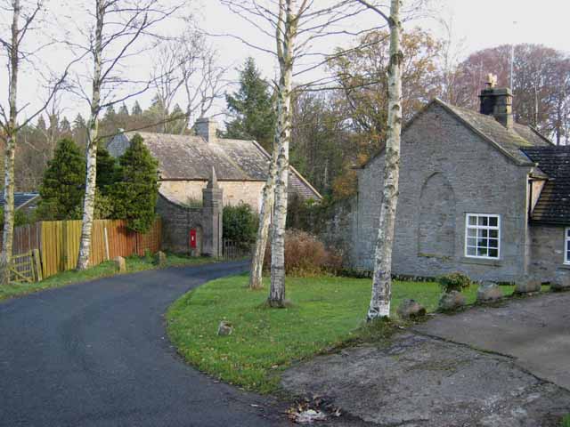
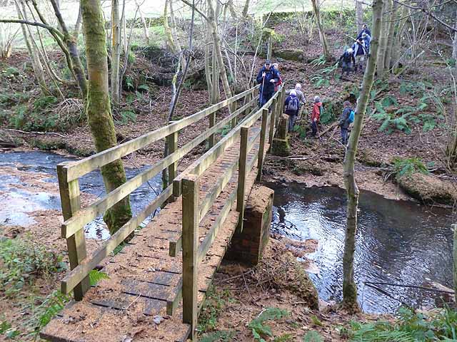
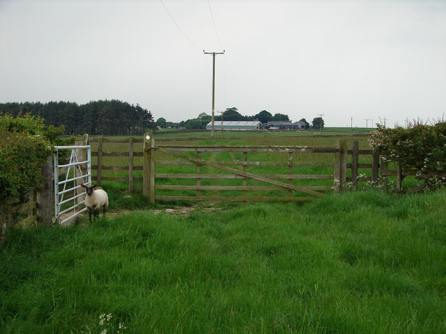
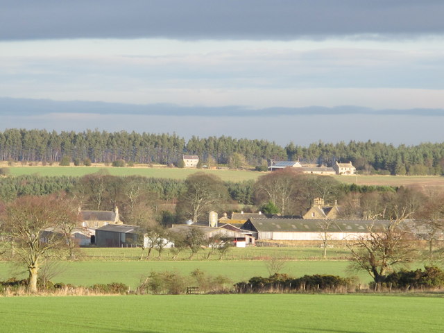
Healey Village |
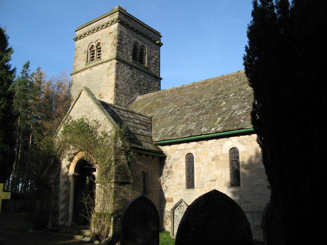
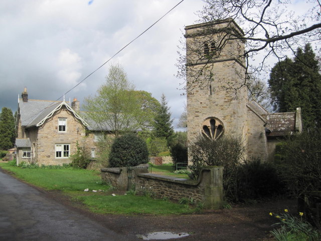
St John's Church |
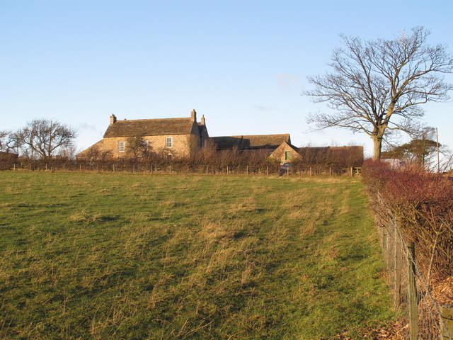
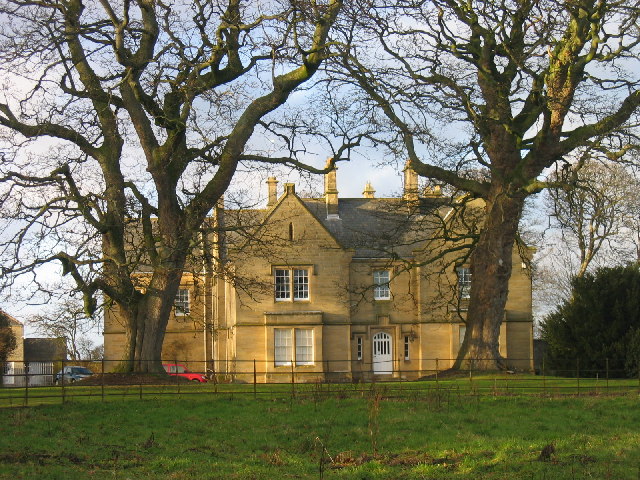
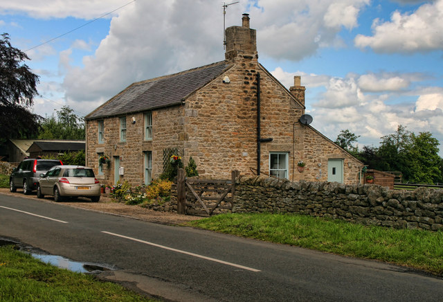
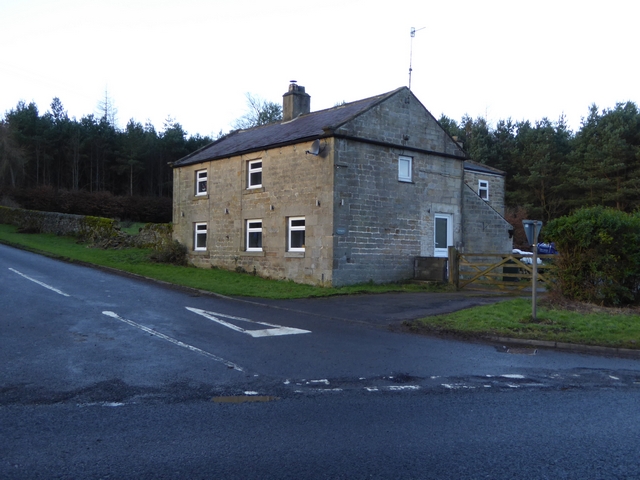
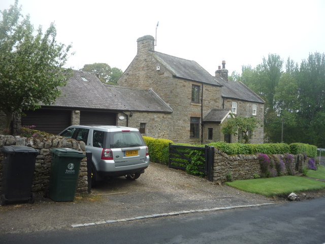
Healey Hall |
 |
 |
 |
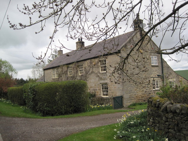
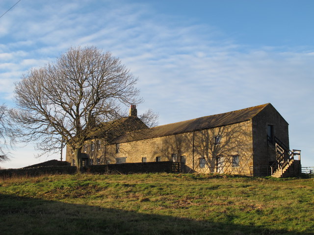
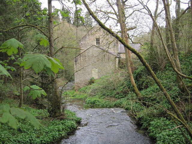
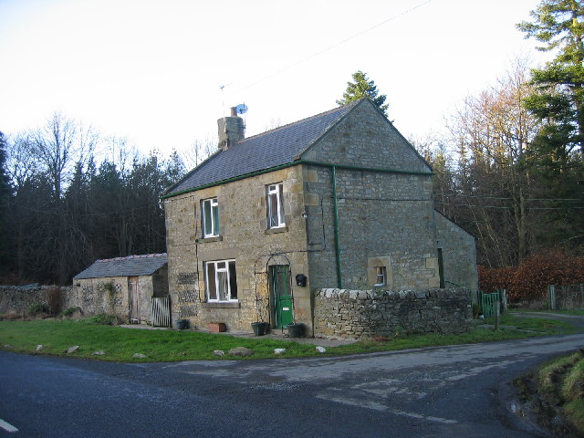
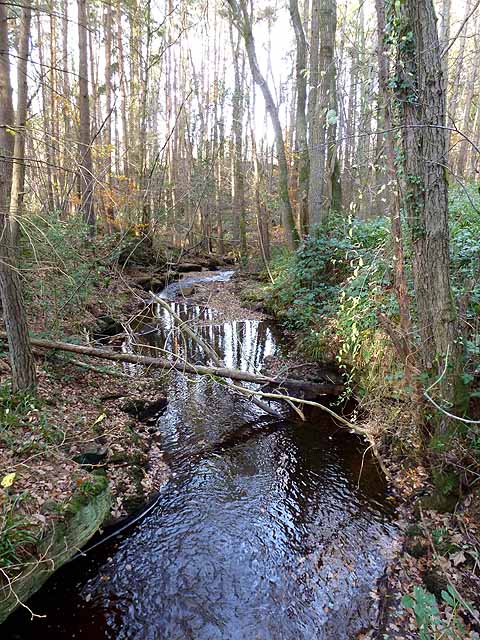
Heally Mill |
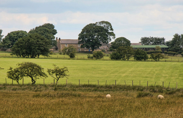
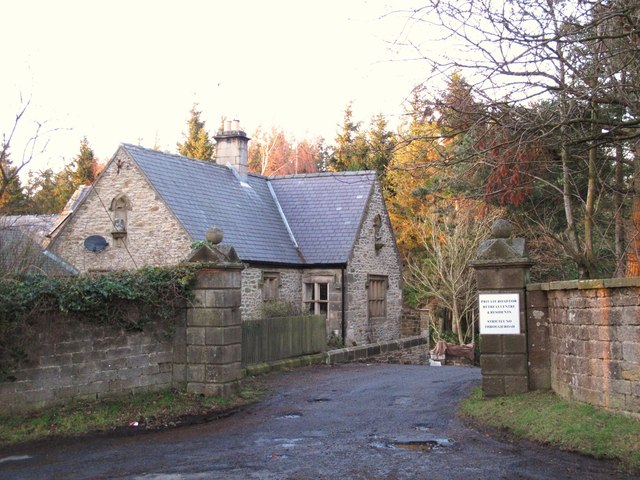
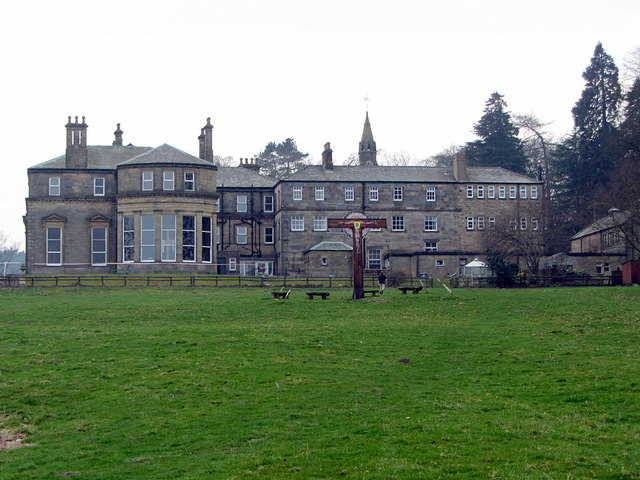
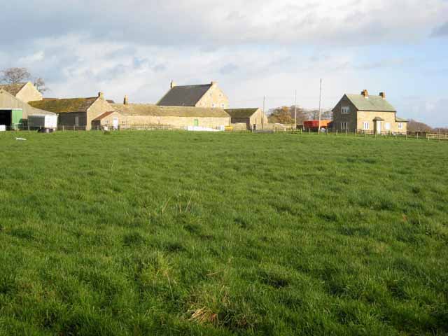
Minsteracres |
Cronkerly |
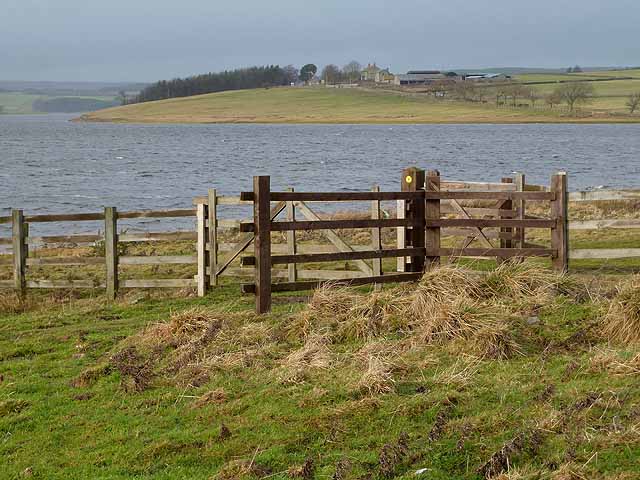
The civil parish of Healey is located in the south of Northumberland. The parish borders with County Durham by Derwent Resevoir.
During medieval times there were settlements at Cronkley, Fotherley, Espershields and Healey (recorded in historical tax returns and/or identified as earthworks as deserted medieval villages). There are records of a property belonging to the Knights Templars called Temple Healey, but the exact location is unknown.[1] Bastles (defensive farmhouses) once stood on the sites of Healey Hall and Eastwood House, built during times of hostilities with Scotland and frequent border raids.
About the Parish
| Settlements: |
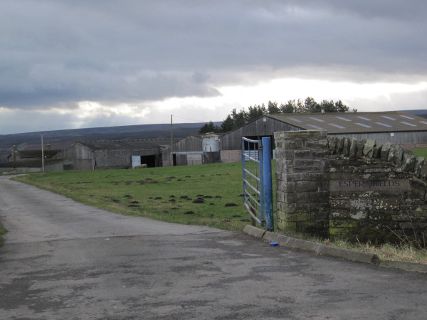
The main settlements are Healey Village and Minsteracres. There are a number of small hamets in the parish, including Barleyhill, Cronkley, Fotherley Buildings, Lower Fotherley, High Fotherley, West Minsteracres and Esper Shields. |
| Population: |
152 (2021 Census) 191 (2011 Census) 194 (2001 Census) |
| Area: | 31.5 km2 |
| Parish Council: | Healey Parish Council |
| Unitary Authority: | Northumberland County Council |
Historical |
|
|
Ancient Townships (in modern CP area) |
Espershields with Milshield Township Townships became civil parishes in their own right in 1866 (see below). |
| Ancient Parish: |
Bywell St Peter's Parish (St Peter) Ancient parishes refer to the parishes before the split between ecclesiastical (church) and civil parishes in the 19th century. They had a parish church and often were composed of multiple townships and chapelries. In many cases, townships and parishes were originally based on the territory of manors from the feudal system during medieval times. Civil parishes were created following the Poor Law Amendment Act 1866, in which Church of England parishes, extra-parochial areas, townships and chapelries, became "civil parishes" which could set their own poor rate (tax). Then the reforms of Local Government Act 1894 established elected civil parish councils (or parish meetings for parishes with less than 300 residents) and created urban and rural districts. Boundaries of parishes and civil parishes may have changed over time. |
| Ancient District: |
Tynedale (ward) |
| Poor Law Union: |
Hexham Poor Law Union, formed in 1836. Hexham Union Workhouse was located on Dean Street in Hexham, opening in 1839. This replaced smaller existing workhouses in Corbridge, Hexham and Horsley. Under the Poor Law Amendment Act of 1834 parishes were grouped into Unions, each of which had to build a workhouse if they did not already have one. It ended the old system of locally provided poor relief which had come under strain as numbers out of work grew, following increasing mechanisation of agriculture and the economic downturn after the Napoleonic Wars, along with changing social attitudes. The workhouse provided those unable to support themselves financially with accommodation and work. Inmates were generally segregated into men, women, boys and girls. The workhouse system was abolished by the Local Government Act 1929, but many workhouses lived on as ‘Public Assistance Institutions’ until the National Assistance Act 1948. |
|
District Council: |
Hexham Rural District (1894 - 1974). The district was abolished in 1974, following the Local Government Act 1972. Tynedale District (1974 - 2009). Tynedale covered the area of 5 former districts (Hexham Urban District, Prudhoe Urban District, Bellingham Rural District, Haltwhistle Rural District, and Hexham Rural District). The borough council was abolished when Northumberland County Council became a unitary authority on the 1st of April 2009. |
|
Major Boundary Changes |
1955 - Healey CP was enlarged by the abolition of Espershields Civil Parish 1955 - Healey CP was enlarged by the abolition of High Fotherley Civil Parish |
|
County / Unitary Authority |
The ancient county of Northumberland was enlarged following the Counties (Detached Parts) Act 1844; Bedlingtonshire, Norhamshire, Islandshire, the Farne Islands and Monks' House all became part of Northumberland. Up to then they had been enclaves of County Durham. Northumberland County Council formed 1889. Major boundary changes came into effect on the 1st April 1974. This followed the Local Government Act 1972, which formed the non-metropolitan county of Northumberland. This excluded the City of Newcastle upon Tyne and North Tyneside, which up to then had been part of Northumberland, but now became part of the newly formed Tyne & Wear. Northumberland County Council became a unitary authority on the 1st of April 2009. |
See also: ![]() Historic Buildings and Monuments in Healey Civil Parish. Note: listed buildings are generally the responsibility of the county council / unitary authority, rather than the parish council.
Historic Buildings and Monuments in Healey Civil Parish. Note: listed buildings are generally the responsibility of the county council / unitary authority, rather than the parish council.
from https://www.slaley.org.uk/pag…
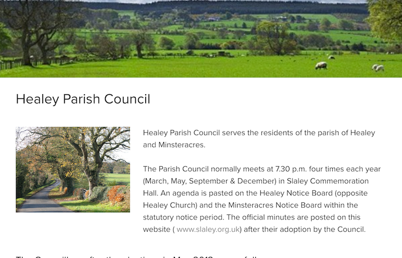
Healey Parish Council
- "Healey Parish Council serves the residents of the parish of Healey and Minsteracres.
The Parish Council normally meets [...] four times each year (March, May, September & December) in Slaley …
Added by
Simon Cotterill

from https://keystothepast.info/se…
Local History: Healey (Northumberland)
- "Healey parish lies in south Northumberland on the boundary with County Durham. It rises from the north to the watershed of the rivers Tyne and Derwent at Barleyhill and the …
Added by
Simon Cotterill
Co-Curate Page
Healey
- Overview Map Street View Healey is a small village and part of the Civil Parish of Healey in the south of Northumberland. Healey Village is located just over 2 miles …
Co-Curate Page
West Minsteracres
- Overview Map Street View A farm / hamlet in the Parish of Healey, in Northumberland.

Co-Curate Page
Healey Hall
- Overview Map Healey Hall is located by Healey Burn, about half a mile south of the village of Healey in Northumberland. Healey Hall was built by Robert Ormston in 1834, …
Co-Curate Page
Esper Shields
- Esper Shields is a farm / hamletnear Slaley Hall, located to the south of Hexham in Northumberland. There is an 18th century boundry marker, known as Donald's Grave, here. In …

Co-Curate Page
Healey Township, 1848
- HEALLY, a township, in the parish of Bywell St. Peter, union of Hexham, E. division of Tindale ward, S. division of Northumberland, 7½ miles (S.E.) from Hexham; containing 65 inhabitants. …

from https://www.slaley.org.uk/pag…
Healey Parish Council
- "Healey Parish Council serves the residents of the parish of Healey and Minsteracres.
The Parish Council normally meets [...] four times each year (March, May, September & December) in Slaley …
Added by
Simon Cotterill
from https://keystothepast.info/se…
Local History: Healey (Northumberland)
- "Healey parish lies in south Northumberland on the boundary with County Durham. It rises from the north to the watershed of the rivers Tyne and Derwent at Barleyhill and the …
Added by
Simon Cotterill
Co-Curate Page
Healey
- Overview Map Street View Healey is a small village and part of the Civil Parish of Healey in the south of Northumberland. Healey Village is located just over 2 miles …
Co-Curate Page
West Minsteracres
- Overview Map Street View A farm / hamlet in the Parish of Healey, in Northumberland.
Co-Curate Page
Healey Hall
- Overview Map Healey Hall is located by Healey Burn, about half a mile south of the village of Healey in Northumberland. Healey Hall was built by Robert Ormston in 1834, …
Co-Curate Page
Esper Shields
- Esper Shields is a farm / hamletnear Slaley Hall, located to the south of Hexham in Northumberland. There is an 18th century boundry marker, known as Donald's Grave, here. In …