Topics > Northumberland > Esper Shields

Esper Shields


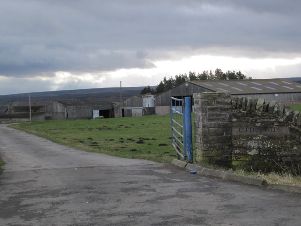
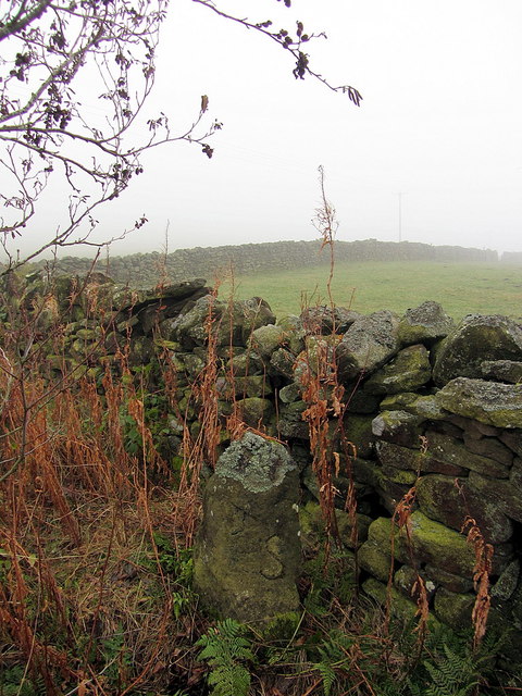
Esper Shields is a farm / hamletnear Slaley Hall, located to the south of Hexham in Northumberland. There is an 18th century boundry marker, known as Donald's Grave, here. In the past Espershields with Milshield township (presumably related) had a population of 198 in 1848, and was part of the Parish of Bywell St Peters. 

Northumberland Espershields with Milshield Township, 1848 Healey Civil Parish Donald's Grave, Esper Shields
from Geograph (geograph)
Farm Buildings, Esper Shields

Pinned by Simon Cotterill
from Geograph (geograph)
Coal Road leading to Slaley Golf Course

Pinned by Simon Cotterill

Comments

Add a comment or share a memory.

Login to add a comment. Sign-up if you don't already have an account.


ABOUT US

Co-Curate is a project which brings together online collections, museums, universities, schools and community groups to make and re-make stories and images from North East England and Cumbria. Co-Curate is a trans-disciplinary project that will open up 'official' museum and 'un-officia'l co-created community-based collections and archives through innovative collaborative approaches using social media and open archives/data.

LATEST SHARED RESOURCES