Topics > Tyne and Wear > South Tyneside > South Shields > Harton
Harton
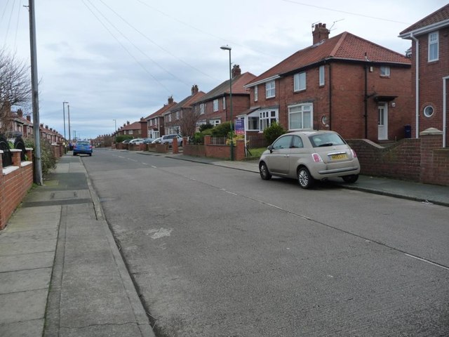
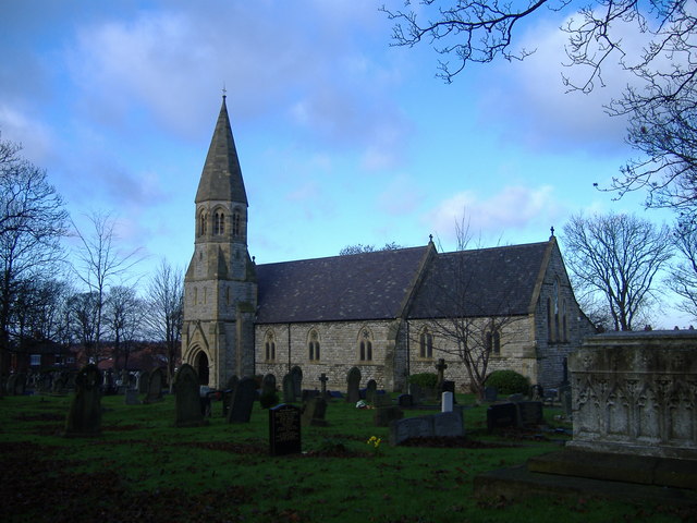
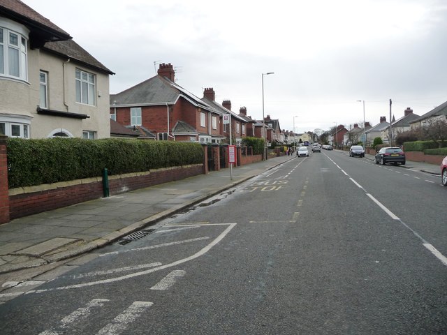
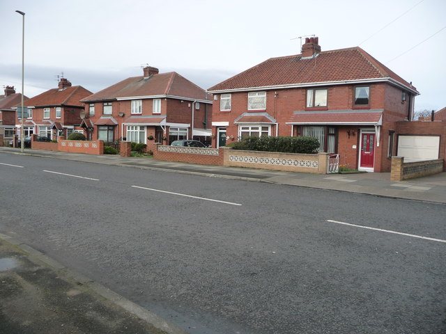
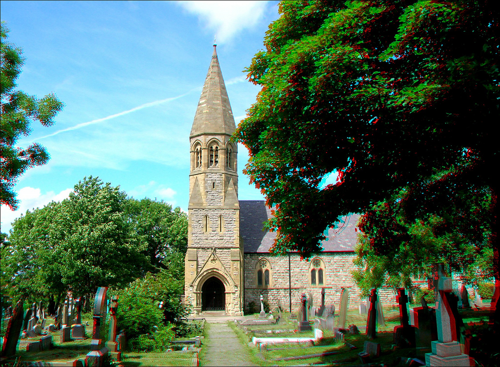
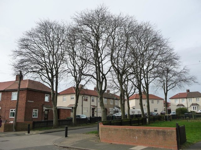
Harton is a suburban area of South Shields, South Tyneside, North East England. It was historically a village, however as the urban area grew it merged with its adjacent villages to become part of the town. Some of the original village buildings are still intact today, namely St Peter's church.
Politics
Metropolitan Borough Council
The electoral ward of Harton, like all wards in the borough, votes for three councillors on the South Tyneside metropolitan borough council.
UK Parliament
Harton is one of ten wards who vote for the South Shields seat in the UK Parliament, with an estimated electorate of 4098 people in the 2015 elections.
Education
The area of Harton contains two schools, Harton Technology College serving pupils between 11 and 18 years old, and Harton Primary School, serving pupils between ages five and 11 years.
History
Structures
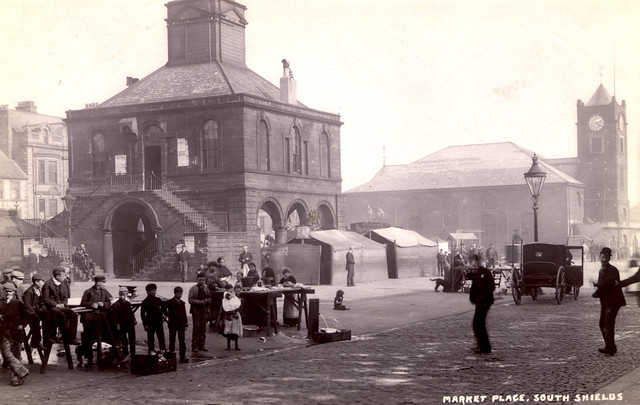
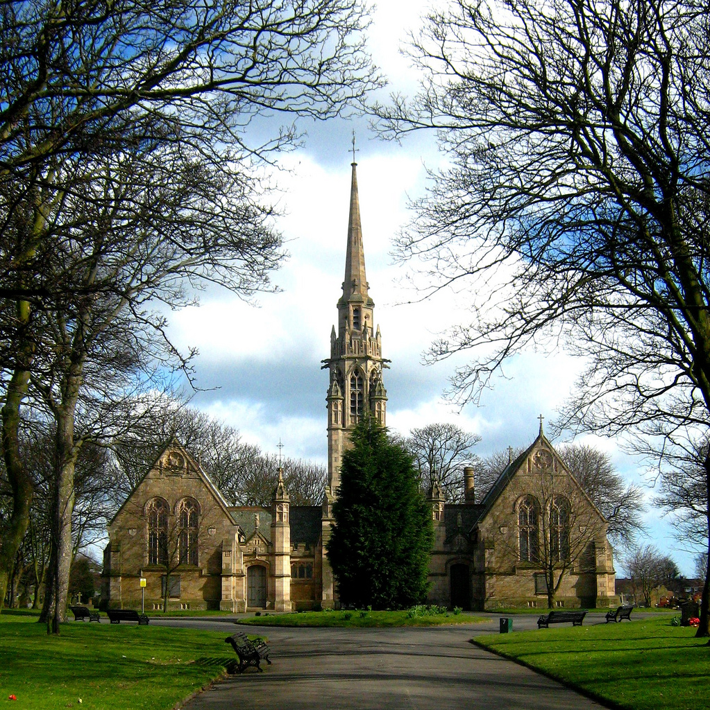
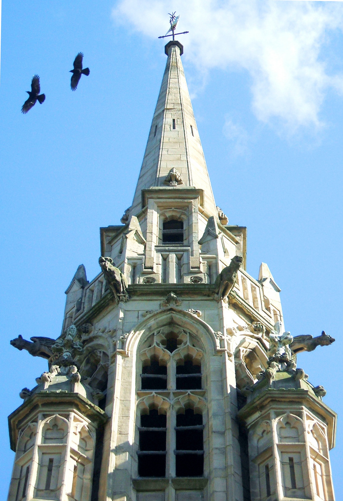
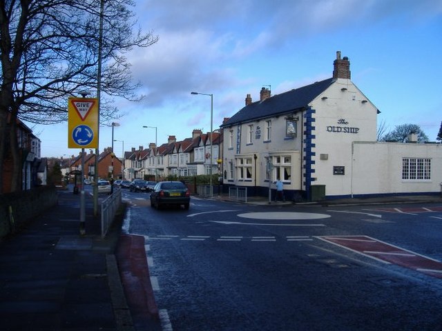
The village of Harton has been built around St Peter's Church for over 150 years now, and the church is still active to this day. Other buildings of note in the village are The Vigilant Inn and The Old Ship pubs. Opposite The Vigilant, the old walls of the village are still visible.
Transport
The whole town of South Shields had horse-drawn, then electric trams, before electric trolleybuses were introduced in 1936
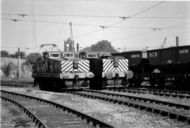
Harton Colliery
There was a colliery near Harton established sometime in the 1800s, as it features on, and has full rail infrastructure on, the Ordnance Survey map of 1896. There is also reference from the Durham Mining Museum to one fatality, where a man was "crushed in the cage" ('the cage' being slang for the carriage that transported men to and from the surface), on the , although it is not known how well-established the colliery was at this point.
Visit the page: Harton, South Tyneside for references and further details. You can contribute to this article on Wikipedia.

Co-Curate Page
Harton Academy
- Overview About Harton Academy Map Street View Harton Academy is located on Lisle Road in Harton, South Shields. The first school building on the site opened on the 7th September, …
Co-Curate Page
Harton Primary School
- Overview Map Street View Harton Primary School is located on East Avenue in Harton, South Shields. It is a community school with about 700 pupils aged 3 to 11.[1]

from http://www.twsitelines.info/S…
Tyne and Wear HER(952): Harton village
- "The first reference to Harton (Heortedun) dates to 1074-80, when it and the other vills dependent on Jarrow were given by Bishop Walcher to Aldwin and his companions to assist …
Added by
Simon Cotterill
from Geograph (geograph)
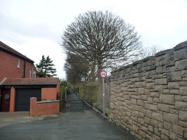
Footpath from Harton House Road to St George's Avenue
Pinned by Simon Cotterill
Co-Curate Page
St Gregory's RCVA Primary School
- Overview Map Street View St Gregory's Roman Catholic Voluntary Aided Primary School is located on Harton House Road East in South Shields. It is a voluntary aided school, with about …

Co-Curate Page
Harton Academy
- Overview About Harton Academy Map Street View Harton Academy is located on Lisle Road in Harton, South Shields. The first school building on the site opened on the 7th September, …
Co-Curate Page
Harton Primary School
- Overview Map Street View Harton Primary School is located on East Avenue in Harton, South Shields. It is a community school with about 700 pupils aged 3 to 11.[1]
from http://www.twsitelines.info/S…
Tyne and Wear HER(952): Harton village
- "The first reference to Harton (Heortedun) dates to 1074-80, when it and the other vills dependent on Jarrow were given by Bishop Walcher to Aldwin and his companions to assist …
Added by
Simon Cotterill
from Geograph (geograph)
Footpath from Harton House Road to St George's Avenue
Pinned by Simon Cotterill