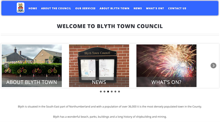
Topics > Northumberland > Civil Parishes in Northumberland > Blyth Town Council Area
Blyth Town Council Area
"The present day area of Blyth Town consists of the ancient townships of Cowpen and South Blyth/Newsham. The boundaries of the townships had been established before written records began and were administrative divisions of a parish. Cowpen Township was a division of Horton Parish and South Blyth/Newsham a division of Earsdon parish. The dividing line between the two townships was roughly what we now know as Plessey Road and Union Street, with South Blyth/Newsham being to the south and east of these markers. Industrial activity from Blyth slowly encroached on to the lands and small village of Cowpen Township during the early 19th century and eventually Cowpen became synonymous with Blyth." (Blyth Town Council)
Area: 19.1 km²
Population:
39,734 (2021 Census)
37,339 (2011 Census)
35,817 (2001 Census)
Co-Curate Page
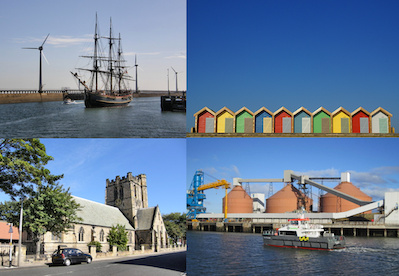
Blyth
- Overview History Map Blyth is a costal town and port in Northumberland situated by the River Blyth approximately 13 miles north east of Newcastle. The port of Blyth dates back …
Co-Curate Page
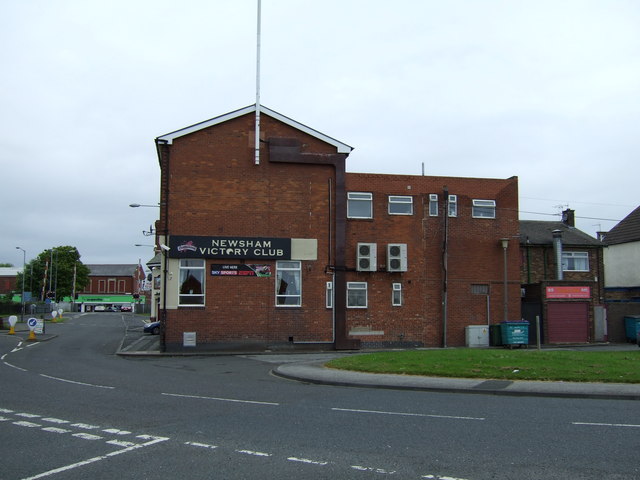
Newsham
- Overview Map Street View Newsham is an area of Blyth in Northumberland, located directly north of New Delaval. Newsham was the site of a small settlement during the medieval period.[1] …
Co-Curate Page
Cowpen
- Overview Map Street View COWPEN, or Coopen, a township, in the chapelry of Horton, union of Tynemouth, E. division of Castle ward, S. division of Northumberland, 8 miles (E.S.E.) from …

Co-Curate Page
Blyth, 1848
- BLYTH, SOUTH, or Blyth Nook, a sea-port and chapelry, partly in the parish of Horton, but chiefly in that of Earsdon, union of Tynemouth, E. division of Castle ward, S. …
Co-Curate Page
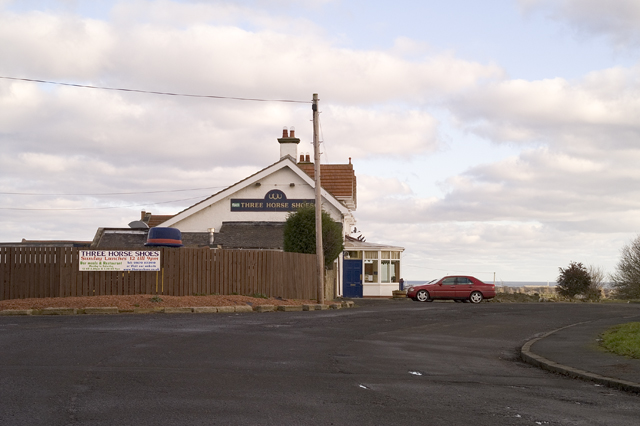
Horton (Blyth)
- Overview Map Street View Horton is located to the west of Blyth, close to East Hartford. Today, it consists of High Horton Farm, St Mary's Church, The Three Horseshoes public house …
Co-Curate Page
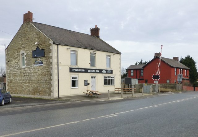
Bebside
- Bebside is an area of Blyth in Northumberland, located on the west side of the town. In the past, Bebside was a separate village, before the rapid growth of Blyth …

Co-Curate Page
Blyth
- Overview History Map Blyth is a costal town and port in Northumberland situated by the River Blyth approximately 13 miles north east of Newcastle. The port of Blyth dates back …
Co-Curate Page
Newsham
- Overview Map Street View Newsham is an area of Blyth in Northumberland, located directly north of New Delaval. Newsham was the site of a small settlement during the medieval period.[1] …
Co-Curate Page
Cowpen
- Overview Map Street View COWPEN, or Coopen, a township, in the chapelry of Horton, union of Tynemouth, E. division of Castle ward, S. division of Northumberland, 8 miles (E.S.E.) from …
Co-Curate Page
Blyth, 1848
- BLYTH, SOUTH, or Blyth Nook, a sea-port and chapelry, partly in the parish of Horton, but chiefly in that of Earsdon, union of Tynemouth, E. division of Castle ward, S. …
Co-Curate Page
Horton (Blyth)
- Overview Map Street View Horton is located to the west of Blyth, close to East Hartford. Today, it consists of High Horton Farm, St Mary's Church, The Three Horseshoes public house …


