Topics > Northumberland > Civil Parishes in Northumberland > Birtley Civil Parish
Birtley Civil Parish
Parish boundaries may have changed - for the latest map see the Parish Council or Northumberland County Council.
About the Parish
| Settlements: |
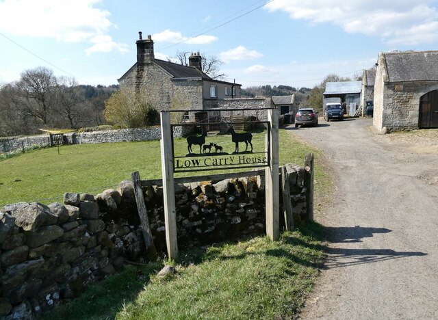
Birtley, Redesmouth, Broomhope, Buteland, Carrycoats and several smaller hamlets / farms, including Birtley Shields, Heugh, High Carry House, Low Carry House, Blindburn, High Countess Park, Low Countess Park, and Steel. |
| Population: |
174 (2021 Census) 172 (2011 Census) 167 (2001 Census) |
| Area: | 34.7 km2 |
| Parish Council: | Birtley Parish Council |
| Unitary Authority: | Northumberland County Council |
Historical |
|
|
Ancient Townships (in modern CP area) |
Carrycoats (Thockrington Parish) Townships became civil parishes in their own right in 1866 (see below). |
| Ancient Parish: |
In 1765, Birtley became a parochial chapelry. Prior to that it had been part of the ancient Parish of Chollerton (St Giles). Ancient parishes refer to the parishes before the split between ecclesiastical (church) and civil parishes in the 19th century. They had a parish church and often were composed of multiple townships and chapelries. In many cases, townships and parishes were originally based on the territory of manors from the feudal system during medieval times. Civil parishes were created following the Poor Law Amendment Act 1866, in which Church of England parishes, extra-parochial areas, townships and chapelries, became "civil parishes" which could set their own poor rate (tax). Then the reforms of Local Government Act 1894 established elected civil parish councils (or parish meetings for parishes with less than 300 residents) and created urban and rural districts. Boundaries of parishes and civil parishes may have changed over time. |
| Ancient District: |
Tindale (ward) |
| Poor Law Union: |
Bellingham Poor Law Union, formed in 1836. Bellingham Union Workhouse was built in 1839 on the north side of Bellingham, built to house 53 inmates. Under the Poor Law Amendment Act of 1834 parishes were grouped into Unions, each of which had to build a workhouse if they did not already have one. It ended the old system of locally provided poor relief which had come under strain as numbers out of work grew, following increasing mechanisation of agriculture and the economic downturn after the Napoleonic Wars, along with changing social attitudes. The workhouse provided those unable to support themselves financially with accommodation and work. Inmates were generally segregated into men, women, boys and girls. The workhouse system was abolished by the Local Government Act 1929, but many workhouses lived on as ‘Public Assistance Institutions’ until the National Assistance Act 1948. |
|
District Council: |
Bellingham Rural District, formed in 1894. The district was abolished in 1974, following the Local Government Act 1972. Tynedale District Council from 1974 to 2009. Tynedale District merged the former Hexham and Prudhoe urban districts, along with Bellingham, Haltwhistle and Hexham rural districts. The district council was abolished when Northumberland became a unitary authority on the 1st of April 2009. |
|
Major Boundary Changes |
1958 - Birtley CP was enlarged by the abolition of Carrycoats Civil Parish |
|
County / Unitary Authority |
The ancient county of Northumberland was enlarged following the Counties (Detached Parts) Act 1844; Bedlingtonshire, Norhamshire, Islandshire, the Farne Islands and Monks' House all became part of Northumberland. Up to then they had been enclaves of County Durham. Northumberland County Council formed 1889. Major boundary changes came into effect on the 1st April 1974. This followed the Local Government Act 1972, which formed the non-metropolitan county of Northumberland. This excluded the City of Newcastle upon Tyne and North Tyneside, which up to then had been part of Northumberland, but now became part of the newly formed Tyne & Wear. Northumberland County Council became a unitary authority on the 1st of April 2009. |
See also: ![]() Historic Buildings and Monuments in Birtley Civil Parish. Note: listed buildings are generally the responsibility of the county council / unitary authority, rather than the parish council.
Historic Buildings and Monuments in Birtley Civil Parish. Note: listed buildings are generally the responsibility of the county council / unitary authority, rather than the parish council.
Co-Curate Page
Birtley
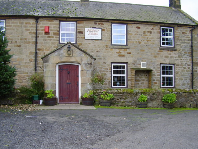
- Overview Map Street View Birtley is a village in Northumberland, located about 4 miles south-east of Bellingham and 9 miles north of Hexham. St Giles' Church here, dates from the …
Co-Curate Page
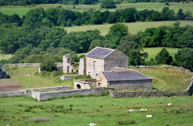
Carrycoats
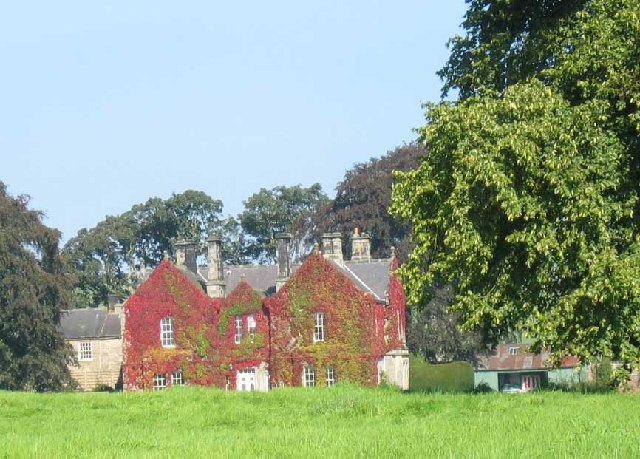
- Overview Map Carrycoats is an estate in Northumberland, located about 2 miles north-west of Throckrington and just over 9 miles north of Hexham. It is located near Carry Burn 9river). …
Co-Curate Page
Buteland
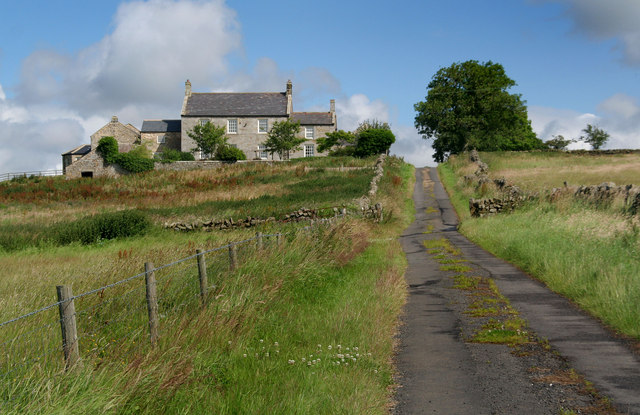
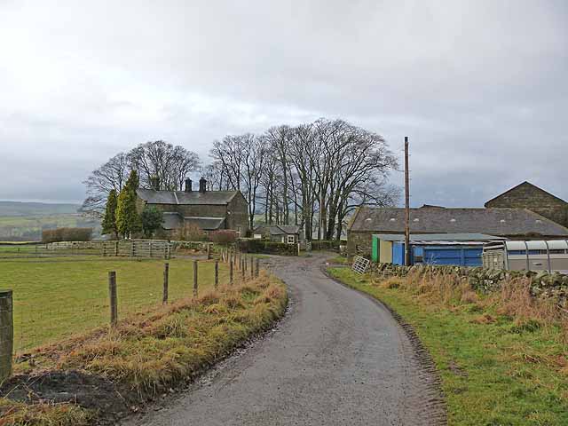
- Buteland is a hamlet in Northumberland located just under a mile south-east of Redesmouth. There are earthwork remains of a deserted medieval village here.[1] Buteland, along with Broomhope, formed a …
Co-Curate Page
Broomhope
- Overview Map Broomhope is a hamlet in Northumberland, located in the valley of Broomhope Burn. Historically, Broomhope, along with nearby Buteland formed a township in the ancient chapelry of Birtley. In …
Co-Curate Page
Redesmouth
- Overview About Redesmouth Map Street View Redesmouth is a village in Northumberland, England, just over 1 mile to the south-east of Bellingham. Governance Redesmouth is in the parliamentary constituency …
Co-Curate Page
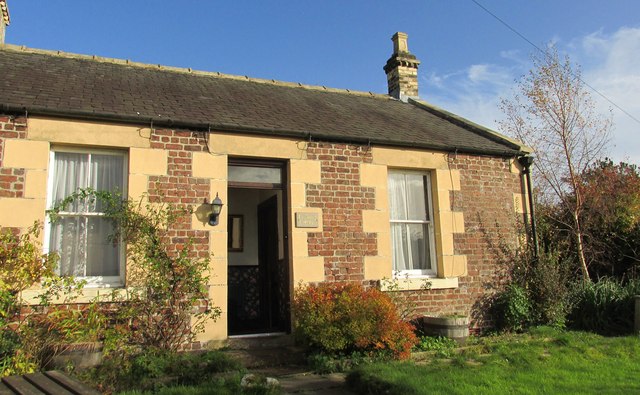
Birtley Shields
- Overview Map Street View Birtley Shields is a farm on Piper Lane, located about ¾ miles north-west of Birtley in Northumberland.

from https://keystothepast.info/se…
Local History: Birtley (Northumberland)
- "The parish of Birtley lies in central Northumberland. It stretches from the relatively fertile banks of the River North Tyne in the west to the open moorland of Buteland Fell …
Added by
Simon Cotterill


Co-Curate Page
Birtley Chapelry (Northumberland), 1848
- BIRTLEY, a parochial chapelry, in the union of Bellingham, N.E. division of Tindale ward, S. division of Northumberland, 5 miles (S.E. by S.) from Bellingham; containing, with the township of …

Co-Curate Page
Birtley
- Overview Map Street View Birtley is a village in Northumberland, located about 4 miles south-east of Bellingham and 9 miles north of Hexham. St Giles' Church here, dates from the …
Co-Curate Page
Carrycoats
- Overview Map Carrycoats is an estate in Northumberland, located about 2 miles north-west of Throckrington and just over 9 miles north of Hexham. It is located near Carry Burn 9river). …
Co-Curate Page
Buteland
- Buteland is a hamlet in Northumberland located just under a mile south-east of Redesmouth. There are earthwork remains of a deserted medieval village here.[1] Buteland, along with Broomhope, formed a …
Co-Curate Page
Broomhope
- Overview Map Broomhope is a hamlet in Northumberland, located in the valley of Broomhope Burn. Historically, Broomhope, along with nearby Buteland formed a township in the ancient chapelry of Birtley. In …
Co-Curate Page
Redesmouth
- Overview About Redesmouth Map Street View Redesmouth is a village in Northumberland, England, just over 1 mile to the south-east of Bellingham. Governance Redesmouth is in the parliamentary constituency …
Co-Curate Page
Birtley Shields
- Overview Map Street View Birtley Shields is a farm on Piper Lane, located about ¾ miles north-west of Birtley in Northumberland.
from https://keystothepast.info/se…
Local History: Birtley (Northumberland)
- "The parish of Birtley lies in central Northumberland. It stretches from the relatively fertile banks of the River North Tyne in the west to the open moorland of Buteland Fell …
Added by
Simon Cotterill


